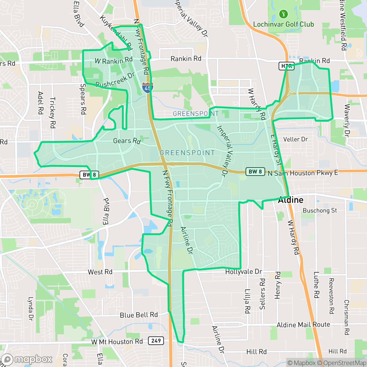
Greater Greenspoint, Houston
Updated June 22, 2026 · 44,856 residents
Greater Greenspoint is a dense, car-dependent industrial and suburban area located near George Bush Intercontinental Airport. The neighborhood features a mix of high-density apartment complexes and large-scale logistics warehouses, offering residents proximity to major highway corridors and diverse local dining options.
Key Highlights
About Greater Greenspoint
Greater Greenspoint emerged in the 1970s as a planned 2,000-acre "edge city" and proposed "second downtown" developed by the Friendswood Development Company, an Exxon affiliate. Spurred by the 1969 opening of the nearby George Bush Intercontinental Airport, the neighborhood was designed to integrate high-rise offices, retail, and dense apartment complexes for young professionals. Its centerpiece, the 1.2-million-square-foot Greenspoint Mall, opened in 1976 with an innovative interior mimicking a sunlit, tree-lined urban streetscape. Following the 1980s oil bust, the area experienced severe economic decline, apartment deterioration, and persistent flooding along Greens Bayou. This prompted the 1991 creation of the North Houston District to spearhead urban renewal, leading to extensive apartment renovations and the creation of community green spaces like Thomas R. Wussow Park.
The area is defined by its proximity to major logistics hubs and highway infrastructure, creating a landscape of large-scale warehouses and multi-family residential clusters. While the environment is primarily car-dependent, it maintains pockets of green space, including the trails at Thomas R. Wussow Park and corridors along the local bayou. Residents have access to a variety of casual dining and social hubs scattered throughout the neighborhood, though the overall density and industrial presence contribute to a busy, high-traffic atmosphere. According to iHuus data, the area reflects a distinct industrial-suburban mix that prioritizes logistical utility over quiet, low-density living.
Living here involves distinct trade-offs, particularly regarding environmental factors and infrastructure. The area faces challenges with air quality and flood safety, and residents often experience significant noise from surrounding road traffic. While the school landscape is varied, with some specialized choice schools performing well, families should consider the academic disparities within the local school districts. This neighborhood is best suited for those who prioritize accessibility to major transit routes and industrial employment centers over a quiet, low-density residential environment.
Neighborhood Scores Across 15 Qualities
Residential density is varied, featuring both tightly packed apartment complexes and single-family homes with limited separation between structures. This level of density is roughly comparable to the Houston average, according to iHuus data.
Pedestrian movement is often interrupted by major highway barriers, large parking lots, and disconnected pathways. While some residential clusters and park trails offer quiet walking options, overall connectivity is lower than the Houston average according to iHuus data.
Standard tract housing and high-density apartment complexes define the area, offering modest yards and shared amenities. This landscape is slightly less visually varied than the Houston average according to iHuus data.
Access to dog walking space is provided by central wooded parks, canal corridors, and grassy verges, though these opportunities are slightly below the Houston average. According to iHuus data, greenery is often concentrated in private yards or specific park areas rather than widespread sidewalk greenery.
A mix of large-scale warehouses, apartment complexes, and residential pockets creates a landscape that is similar to the Houston average. Residents will find a transition between heavy industrial zones and suburban housing tracts, according to iHuus data.
Primarily industrial and suburban in character, this area offers a steady but low-key rhythm of life with a mix of warehouses and essential services. While some pockets feature diverse dining, most residents will find the landscape quiet and heavily reliant on a vehicle for errands.
Local traffic from nearby busy streets creates a consistent hum that is slightly more noticeable than the average for Houston. According to iHuus data, this level of acoustic activity remains moderate throughout the day.
Frequent unhealthy air quality levels pose significant risks to sensitive groups. According to iHuus data, pollution levels here are notably worse than the Houston average.
Significant logistics hubs, large warehouses, and utility infrastructure like wastewater treatment plants are located near residential areas. This concentration of heavy truck traffic and industrial activity is higher than the Houston average according to iHuus data.
Health insurance access is significantly lower here than the Houston average, which may impact local access to preventative medical care. According to iHuus data, a small portion of the population possesses comprehensive coverage.
Voting patterns and census indicators in this area reflect a much stronger liberal leaning than the Houston average, according to iHuus data.
Residents live among a balanced mix of young adults, families, and seniors. This age distribution is slightly lower than the Houston average according to iHuus data.
Flood risk is significantly higher than the Houston average due to the area's location within a designated floodplain. Residents should anticipate a likely requirement for flood insurance according to iHuus data.
Block-Level Insights for Greater Greenspoint

iHuus Neighborhood Intelligence Insights
Get block-level neighborhood insights for Greater Greenspoint
- Street-level scores — see how individual blocks compare, not just neighborhood averages
- Micro-zone boundaries — identify quiet pockets, flood boundaries, and walkable clusters before you visit
- 15 dimensions in full — walkability, noise, air quality, school quality, insurance coverage, population age profile, urban/rural index, and more
- Boundary risk alerts — know if your address sits near a block boundary where scores drop, the kind of detail no listing will ever mention
- School insights — individual school ratings and insights, not just district-level data
- Compare before you commit — side-by-side data across neighborhoods, down to block precision
No credit card required
Compare with Any Neighborhood
| Dimension | Greater Greenspoint | Acres Home |
|---|---|---|
| 🚶 Walkabilityavg 7.08 | ||
| 🔊 Acoustic Comfortavg 4.14 | ||
| 🤫 Privacy Indexavg 5.34 | ||
| 🎨 Visual Appealavg 6.42 | ||
| 🐕 Dog Friendlinessavg 6.33 | ||
| 🗺️ Urban-Rural Indexavg 6.64 | ||
| ✨ Neighborhood Vibeavg 4.4 | ||
| 🏥 Health Insurance Coverageavg 5.46 | ||
| 🌿 Air Qualityavg 3.58 | ||
| 🏭 Industrial Proximityavg 6.9 | ||
| 🌊 Flood Safetyavg 6.27 | ||
| 🗳️ Ideological Leanavg 6.39 | ||
| 👥 Population Age Profileavg 4.6 | ||
| 🔥 Fire Safety | ||
| 🏫 School Quality |
Greater Greenspoint Rankings
School Districts Serving Greater Greenspoint
Aldine ISD is a district in transition, characterized by a high-performing portfolio of specialized choice schools and high schools contrasted with deep academic struggles in its traditional middle school feeders. While ground truth data shows several campuses at 2/10 and 4/10 proficiency levels, the district's operational health is stabilized by proactive teacher retention strategies, successful bond-funded modernization, and expanding dual-enrollment partnerships. Leadership is effectively leveraging 'Choice Schools' as a driver for excellence, though the gap between these elite programs and neighborhood schools remains the primary barrier to 'Blue Chip' status.
Schools
Spring ISD is currently a distressed district characterized by a severe academic divide and the looming threat of a Texas Education Agency takeover. While the district has successfully secured an $850 million bond for facilities and has earned national recognition for its industry-leading campus security and active shooter preparedness, these operational successes are overshadowed by chronic underperformance. With nearly half of its schools rated as 'D' or 'F' by the state and major high schools consistently failing to meet proficiency standards, the district remains in a precarious transition period where administrative efforts and significant capital investments have yet to translate into widespread classroom success.
Schools
School Insights for Greater Greenspoint
Below average outcomes; significant attendance and academic challenges.
School Insights
See what's really behind every school rating near Greater Greenspoint
- Individual school ratings — each school's own score with outcome context, not just a district average
- Enrollment & class size data — student-to-teacher ratio and how it compares to the state average
- Full demographics breakdown — ethnicity and gender composition for every school in the enrollment zone
- Every school in the district — all schools within the enrollment boundary ranked by rating, not just the closest one
- Grade levels & benchmarks — elementary through high school, with below/above state-average flags
No credit card required