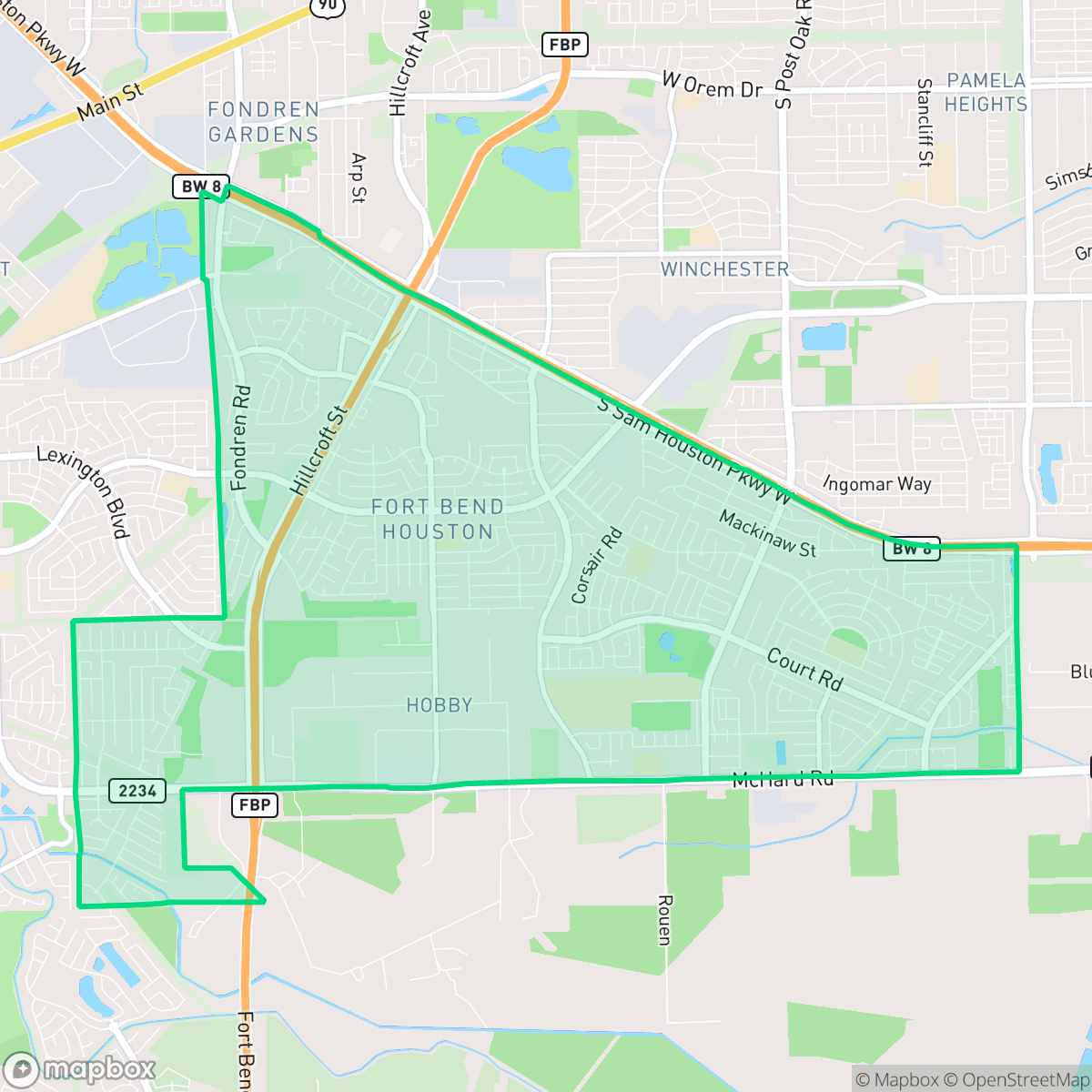
Fort Bend - Houston, Houston
Updated June 22, 2026 · 53,039 residents
Fort Bend - Houston is a predominantly residential area characterized by its dense suburban layout and extensive sidewalk networks that facilitate pedestrian movement. Residents benefit from accessible green drainage corridors and open fields, though the neighborhood faces challenges with air quality and noise from nearby road traffic.
Key Highlights
About Fort Bend - Houston
The Fort Bend - Houston neighborhood (Super Neighborhood 41), historically centered around the community of Blue Ridge, evolved from late 19th-century ranching roots into a 1920s oil and gas "boomtown". In 1936, the state established the 4,348-acre Blue Ridge State Prison Farm on the land. After the Texas Department of Corrections sold the property to private developers in 1958, the area transitioned into a collection of suburban, middle-class subdivisions developed during the 1960s and 1970s. Annexed by Houston in the early 1970s, the neighborhood quickly emerged as a thriving, majority African-American community. Today, Willowridge High School—whose distinctive pillars inspired the neighborhood’s official city pictogram—stands directly on the grounds of the former prison facility.
The area maintains a consistent suburban fabric composed of mid-century tract housing and established residential blocks. It stands out for its walkability, which exceeds the city average due to a comprehensive network of sidewalks and low-traffic cul-de-sacs. While the landscape is primarily residential, it features pockets of light industrial activity and warehouse space, particularly near its edges. The presence of expansive green drainage easements provides significant space for outdoor exercise and pet owners, contributing to a higher-than-average dog friendliness score according to iHuus data.
Prospective residents should consider the trade-offs of living in this environment, which include moderate noise levels from road traffic and air quality concerns typical of its proximity to logistics corridors. The neighborhood is served by a mix of school districts currently navigating operational transitions and volatility. It is best suited for those seeking a settled, community-oriented environment that prioritizes connectivity and proximity to major arterial roads over a high-density commercial or nightlife scene.
Neighborhood Scores Across 15 Qualities
Residential spacing varies from open suburban lots to closely packed clusters, resulting in a level of privacy that is roughly consistent with the Houston average. According to iHuus data, some areas feature narrow setbacks and shared property lines, while other sections offer more significant buffers between neighbors.
Extensive sidewalk networks and low-traffic residential streets provide safer walking conditions than the Houston average. While major highways can create barriers, many areas feature continuous paths along both sides of residential roads and commercial corridors.
Standard tract housing dominates the landscape, featuring consistent rooflines and small yards. The visual variety is slightly below the Houston average due to the prevalence of modest, uniform residential lots and limited luxury amenities.
Wide drainage corridors, grassy verges, and continuous green buffers provide ample space for walking dogs away from traffic. According to iHuus data, these accessible green spaces make the area more pet-friendly than the Houston average.
A mix of single-family residential tracts and large-scale warehouses defines the landscape, making the area feel largely similar to the Houston average in terms of development density. While some pockets feature vast open fields and greenery, much of the neighborhood consists of established suburban layouts and industrial logistics hubs.
A mix of quiet industrial corridors and suburban streets creates a steady but subdued rhythm. This level of activity is slightly higher than the Houston average, providing a balanced environment with occasional local dining and services accessible by car.
Steady traffic sounds from nearby busy streets create a consistent hum. This level of acoustic activity is roughly in line with the typical experience found across Houston.
Air quality in this area fluctuates between acceptable and unhealthy levels, though it remains slightly better than the Houston city average according to iHuus data. Sensitive groups may experience occasional concern during certain periods.
Residential life dominates the area with only occasional light commercial activity and warehouse hubs. According to iHuus data, the neighborhood maintains a cleaner profile regarding heavy industrial hazards compared to the Houston average.
Health insurance coverage among residents is moderate and sits slightly below the Houston city average, according to iHuus data.
Voting patterns and census indicators reflect a predominantly liberal leaning that is notably higher than the Houston average, according to iHuus data.
Residents live alongside a balanced mix of young adults, families, and seniors. This demographic spread is largely consistent with the broader Houston area, according to iHuus data.
Residual flood risks exist within the area, though safety levels remain above the Houston average according to iHuus data.
Block-Level Insights for Fort Bend - Houston

iHuus Neighborhood Intelligence Insights
Get block-level neighborhood insights for Fort Bend - Houston
- Street-level scores — see how individual blocks compare, not just neighborhood averages
- Micro-zone boundaries — identify quiet pockets, flood boundaries, and walkable clusters before you visit
- 15 dimensions in full — walkability, noise, air quality, school quality, insurance coverage, population age profile, urban/rural index, and more
- Boundary risk alerts — know if your address sits near a block boundary where scores drop, the kind of detail no listing will ever mention
- School insights — individual school ratings and insights, not just district-level data
- Compare before you commit — side-by-side data across neighborhoods, down to block precision
No credit card required
Compare with Any Neighborhood
| Dimension | Fort Bend - Houston | Acres Home |
|---|---|---|
| 🚶 Walkabilityavg 7.08 | ||
| 🔊 Acoustic Comfortavg 4.14 | ||
| 🤫 Privacy Indexavg 5.34 | ||
| 🎨 Visual Appealavg 6.42 | ||
| 🐕 Dog Friendlinessavg 6.33 | ||
| 🗺️ Urban-Rural Indexavg 6.64 | ||
| ✨ Neighborhood Vibeavg 4.4 | ||
| 🏥 Health Insurance Coverageavg 5.46 | ||
| 🌿 Air Qualityavg 3.58 | ||
| 🏭 Industrial Proximityavg 6.9 | ||
| 🌊 Flood Safetyavg 6.27 | ||
| 🗳️ Ideological Leanavg 6.39 | ||
| 👥 Population Age Profileavg 4.6 | ||
| 🔥 Fire Safety | ||
| 🏫 School Quality |
Fort Bend - Houston Rankings
School Districts Serving Fort Bend - Houston
Fort Bend ISD is currently a high-performing district in the midst of a significant operational and fiscal transition. While it maintains a large portfolio of top-tier schools and remains a destination for academic excellence in the Greater Houston area, it is grappling with a $56.4 million budget deficit and declining enrollment that necessitated the permanent closure of seven elementary schools in 2026. This period of instability is marked by narrow 4:3 board decisions, community protests, and a noticeable performance gap between its elite Sugar Land campuses and its distressed schools. Although the district continues to produce elite student outcomes and offers competitive teacher salaries, the ongoing consolidation and boundary unrest place it in a 'Mixed/Transition' category for the current cycle.
Schools
Houston ISD is a district in a state of extreme operational and political volatility, currently categorized by a state takeover and the loss of local community control. While the district maintains a collection of world-class magnet and high-performing schools that anchor its academic reputation, these are overshadowed by a 'Toxic' institutional environment characterized by a 33% teacher turnover rate, significant reliance on uncertified staff, and a steady 3.5% annual enrollment loss. Despite reports of rapid academic growth under the state-appointed leadership, the district's stability is undermined by intense community friction, school closures in underserved areas, and an organizational culture increasingly managed through high-stress compliance models, making it a high-risk entity for long-term consistency.
Schools
School Insights for Fort Bend - Houston
Below average outcomes; significant attendance and academic challenges.
School Insights
See what's really behind every school rating near Fort Bend - Houston
- Individual school ratings — each school's own score with outcome context, not just a district average
- Enrollment & class size data — student-to-teacher ratio and how it compares to the state average
- Full demographics breakdown — ethnicity and gender composition for every school in the enrollment zone
- Every school in the district — all schools within the enrollment boundary ranked by rating, not just the closest one
- Grade levels & benchmarks — elementary through high school, with below/above state-average flags
No credit card required