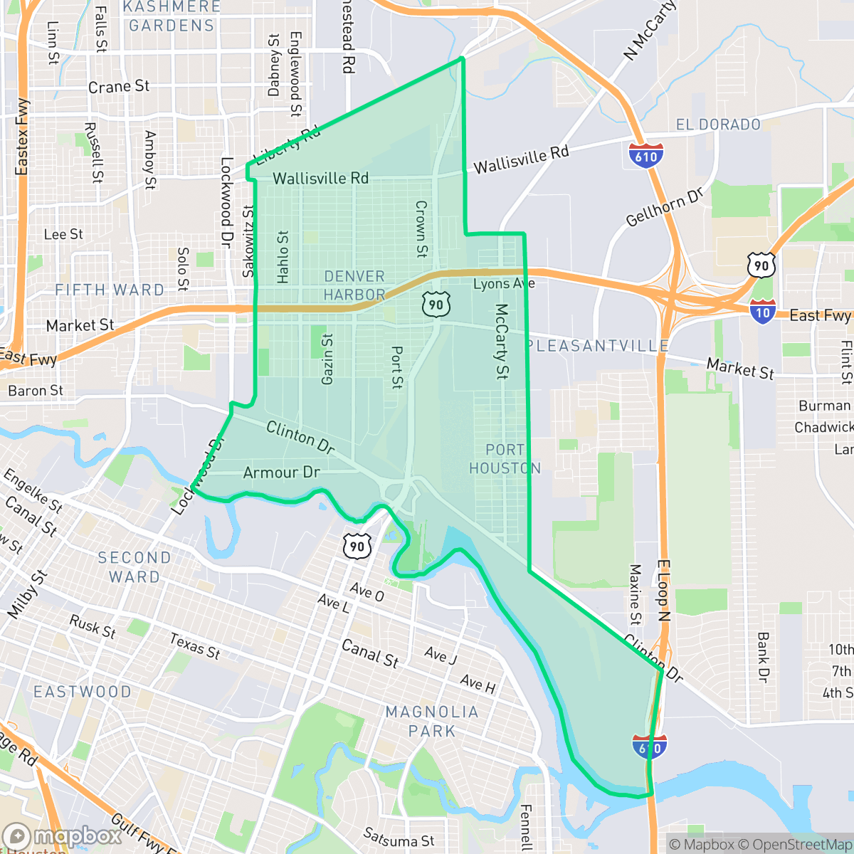
Denver Harbor - Port Houston, Houston
Updated June 22, 2026 · 20,557 residents
Denver Harbor - Port Houston is a historic enclave defined by its dense grid of Craftsman-style homes and its immediate proximity to the Houston Ship Channel's industrial infrastructure. While the area offers a strong sense of community, residents face challenges related to high noise levels from rail and road traffic, as well as significant industrial air quality concerns.
Key Highlights
About Denver Harbor - Port Houston
First settled in the 1890s and platted between 1911 and 1913, the Denver Harbor - Port Houston neighborhood in eastern Houston grew from four original subdivisions: Denver, Harbor, Harbordale, and Liberty Heights. Positioned near the Houston Ship Channel, it developed as a self-reliant, blue-collar enclave of Craftsman bungalows and cottages, housing railroad and industrial workers of Greek, Italian, and Polish heritage. Annexed by Houston in 1929, the community gained the defiant nickname 'Podunk' in 1939 after the word was mysteriously painted on the local water tower, inspiring residents to proudly call themselves 'Podunkers'. Today, Lyons Avenue serves as the neighborhood's historic commercial spine, and the community—now predominantly Hispanic—is anchored by local landmarks like Selena Quintanilla Perez Park.
Denver Harbor - Port Houston functions as a dense residential grid that transitions abruptly into one of the region's most active maritime and logistics hubs. The local landscape is dominated by small-lot housing and narrow streets that reflect its early twentieth-century origins, though the presence of massive rail yards and chemical storage facilities defines the daily experience. While the area lacks expansive public green space, it maintains a quiet, suburban rhythm within its residential pockets, supported by local institutions and modest commercial corridors.
Prospective residents should consider the trade-offs of living in such an industrial-adjacent environment, including elevated noise levels and lower air quality scores compared to the city average. The area is largely car-dependent, as the grid is frequently severed by heavy infrastructure and highway barriers. While the local elementary schools perform well, the broader school district faces significant institutional instability. This neighborhood is best suited for those who prioritize proximity to industrial employment centers or value the historic, modest character of the housing stock over modern suburban amenities.
Neighborhood Scores Across 15 Qualities
Residential spacing varies from detached homes with small gaps to more densely packed lots with minimal side-yard buffers. This level of privacy is roughly in line with the Houston average, according to iHuus data.
Residential streets feature a consistent grid pattern and low traffic, but walking comfort is hindered by missing sidewalks and interruptions from nearby industrial rail and highway barriers. This level of walkability is lower than the Houston average according to iHuus data.
Uniform, small-footprint housing and unpaved driveways contribute to a utilitarian landscape that is notably less visually diverse than the Houston average. According to iHuus data, the area lacks significant greenery, private pools, or ornamental landscaping.
Public park access and green sidewalk verges are scarce throughout the neighborhood. According to iHuus data, most greenery is contained within private, fenced backyards, making the area less dog-friendly than the Houston average.
Industrial warehouses and heavy rail infrastructure dominate the landscape, creating a built environment that is slightly more urbanized than the city average. According to iHuus data, the area features a high concentration of grey infrastructure and minimal green space.
Primarily a quiet, car-dependent landscape, this area features heavy industrial zones and warehouses alongside residential blocks. Activity levels and local business density are below the city average, as most dining and essential services are scattered and require a vehicle to access.
Frequent disturbances from nearby railroad tracks and heavy freeway traffic characterize the area. According to iHuus data, acoustic comfort is notably lower than the Houston city average.
Frequent unhealthy air quality levels present a significant risk to sensitive groups. According to iHuus data, the air quality in this area is notably worse than the Houston average.
Significant industrial activity, including massive rail yards, shipping terminals, and chemical storage facilities, defines the landscape and creates much higher levels of noise and traffic than the Houston average. Residents should be aware of the proximity to large-scale logistics hubs, wastewater treatment plants, and a nearby EPA Superfund site.
Health insurance coverage is notably lower than the Houston average, which may present challenges for residents seeking medical care. According to iHuus data, a small portion of the population maintains active coverage.
Political leanings in this area are notably more liberal than the Houston average, according to iHuus data.
A diverse range of age groups resides here, including young adults, families, and seniors. According to iHuus data, the age distribution is largely in line with the broader Houston area.
Residual flood risk exists within this area as it sits within a 500-year floodplain; however, according to iHuus data, the level of safety remains above the Houston average.
Block-Level Insights for Denver Harbor - Port Houston

iHuus Neighborhood Intelligence Insights
Get block-level neighborhood insights for Denver Harbor - Port Houston
- Street-level scores — see how individual blocks compare, not just neighborhood averages
- Micro-zone boundaries — identify quiet pockets, flood boundaries, and walkable clusters before you visit
- 15 dimensions in full — walkability, noise, air quality, school quality, insurance coverage, population age profile, urban/rural index, and more
- Boundary risk alerts — know if your address sits near a block boundary where scores drop, the kind of detail no listing will ever mention
- School insights — individual school ratings and insights, not just district-level data
- Compare before you commit — side-by-side data across neighborhoods, down to block precision
No credit card required
Compare with Any Neighborhood
| Dimension | Denver Harbor - Port Houston | Acres Home |
|---|---|---|
| 🚶 Walkabilityavg 7.08 | ||
| 🔊 Acoustic Comfortavg 4.14 | ||
| 🤫 Privacy Indexavg 5.34 | ||
| 🎨 Visual Appealavg 6.42 | ||
| 🐕 Dog Friendlinessavg 6.33 | ||
| 🗺️ Urban-Rural Indexavg 6.64 | ||
| ✨ Neighborhood Vibeavg 4.4 | ||
| 🏥 Health Insurance Coverageavg 5.46 | ||
| 🌿 Air Qualityavg 3.58 | ||
| 🏭 Industrial Proximityavg 6.9 | ||
| 🌊 Flood Safetyavg 6.27 | ||
| 🗳️ Ideological Leanavg 6.39 | ||
| 👥 Population Age Profileavg 4.6 | ||
| 🔥 Fire Safety | ||
| 🏫 School Quality |
Denver Harbor - Port Houston Rankings
School Districts Serving Denver Harbor - Port Houston
Houston ISD is a district in a state of extreme operational and political volatility, currently categorized by a state takeover and the loss of local community control. While the district maintains a collection of world-class magnet and high-performing schools that anchor its academic reputation, these are overshadowed by a 'Toxic' institutional environment characterized by a 33% teacher turnover rate, significant reliance on uncertified staff, and a steady 3.5% annual enrollment loss. Despite reports of rapid academic growth under the state-appointed leadership, the district's stability is undermined by intense community friction, school closures in underserved areas, and an organizational culture increasingly managed through high-stress compliance models, making it a high-risk entity for long-term consistency.
Schools
School Insights for Denver Harbor - Port Houston
Below average outcomes; significant attendance and academic challenges.
School Insights
See what's really behind every school rating near Denver Harbor - Port Houston
- Individual school ratings — each school's own score with outcome context, not just a district average
- Enrollment & class size data — student-to-teacher ratio and how it compares to the state average
- Full demographics breakdown — ethnicity and gender composition for every school in the enrollment zone
- Every school in the district — all schools within the enrollment boundary ranked by rating, not just the closest one
- Grade levels & benchmarks — elementary through high school, with below/above state-average flags
No credit card required