Crestmont Park, Houston
Updated June 22, 2026 · 3,189 residents
Crestmont Park is a south-central Houston residential community defined by its mid-century ranch-style homes and active civic engagement. The area offers a quiet suburban environment with consistent sidewalk connectivity and access to the scenic Sims Bayou Greenway.
Key Highlights
About Crestmont Park
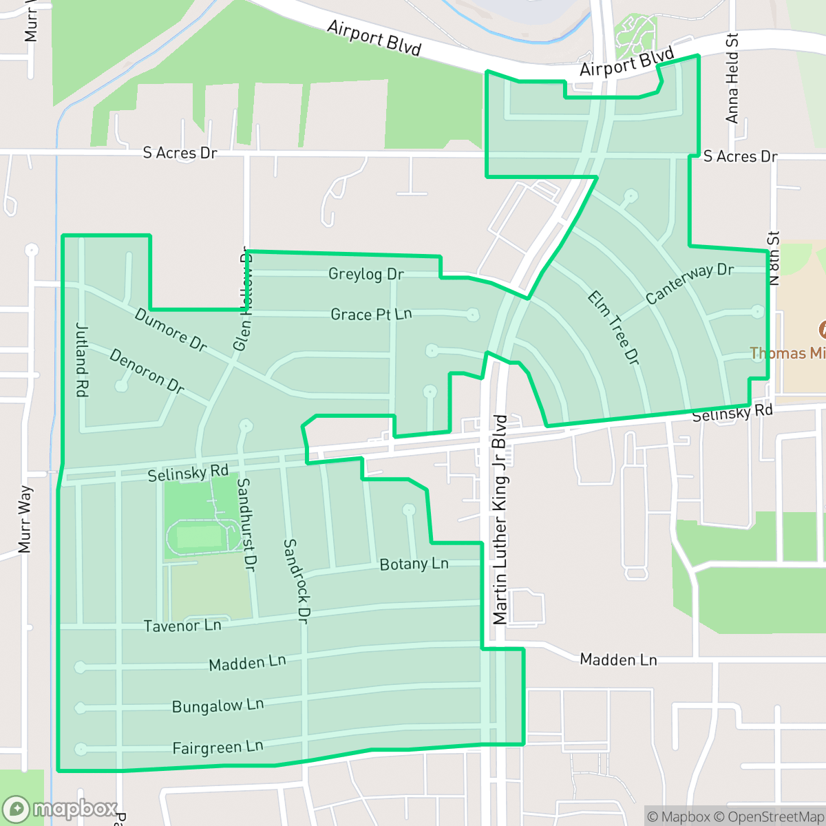
Located in south-central Houston, Crestmont Park is a historically significant residential community that developed primarily during the post-World War II era of the 1950s and 1960s. The neighborhood's architectural landscape is characterized by classic mid-century ranch-style single-family homes built on spacious lots. Historically bordered by Sims Bayou to the north, the area remained relatively isolated until the opening of the South Freeway (State Highway 288) in the early 1980s. Civic engagement has long defined the neighborhood's character, anchored by the Crestmont Park Civic Alliance, which was established on October 10, 1963. Today, local life and recreation center around the Crestmont Park Community Center on Selinsky Boulevard and the scenic trails of the Sims Bayou Greenway.
The neighborhood features a mix of single-family residences and apartment complexes, creating a varied suburban density. Residents benefit from a relatively quiet acoustic environment, with noise levels averaging 53 decibels. The local street grid is designed for safe pedestrian movement, supported by a consistent sidewalk network throughout the residential blocks.
Prospective residents should consider that the area presents specific trade-offs, including proximity to industrial infrastructure and mixed air quality ratings. While the community offers green verges and nearby school fields for recreation, the local school district currently faces significant institutional challenges. The neighborhood is best suited for those seeking an established, community-oriented environment with direct access to major transit corridors like the South Freeway.
Neighborhood Scores Across 15 Qualities
Residential spacing varies between single-family homes and denser apartment blocks, offering slightly more separation between neighbors than the Houston average according to iHuus data.
A consistent sidewalk network and low-traffic streets provide safe pedestrian routes throughout much of the neighborhood. According to iHuus data, walkability in this area is slightly above the Houston city average.
Standard tract housing and large apartment complexes create a consistent visual landscape with small, functional yards. According to iHuus data, the area's visual variety is slightly below the Houston average.
Continuous green verges and nearby school fields provide ample open space for pets. According to iHuus data, the availability of connected greenery and safe paths is higher than the Houston average.
Residential pockets feature a mix of single-family homes and institutional buildings interspersed with greenery. This landscape is largely comparable to the typical density found across Houston.
Local activity is subdued, offering a peaceful residential atmosphere with limited commercial density. According to iHuus data, the area's level of activity sits slightly below the Houston average.
Local traffic from nearby busy streets creates a steady hum, though acoustic comfort remains higher than the Houston average according to iHuus data.
Air quality fluctuates between acceptable and unhealthy levels, though conditions remain slightly better than the Houston average according to iHuus data. Sensitive groups may experience occasional concern on certain days.
Low levels of heavy industry characterize this area, which sits slightly better than the Houston average for industrial proximity. While the neighborhood is predominantly residential, a wastewater treatment plant is located adjacent to some homes according to iHuus data.
Health insurance accessibility is lower in this area than the Houston average, according to iHuus data. Residents may find fewer options for local coverage compared to other parts of the city.
Voting patterns and census indicators show a significantly more liberal leaning than the Houston average, according to iHuus data.
A balanced mix of young adults, families, and older residents defines the area. This demographic spread is slightly more diverse than the average found across Houston, according to iHuus data.
Residual flood risk exists within this area due to its location in a 500-year floodplain, though safety levels remain slightly above the Houston average according to iHuus data.
Block-Level Insights for Crestmont Park

iHuus Neighborhood Intelligence Insights
Get block-level neighborhood insights for Crestmont Park
- Street-level scores — see how individual blocks compare, not just neighborhood averages
- Micro-zone boundaries — identify quiet pockets, flood boundaries, and walkable clusters before you visit
- 15 dimensions in full — walkability, noise, air quality, school quality, insurance coverage, population age profile, urban/rural index, and more
- Boundary risk alerts — know if your address sits near a block boundary where scores drop, the kind of detail no listing will ever mention
- School insights — individual school ratings and insights, not just district-level data
- Compare before you commit — side-by-side data across neighborhoods, down to block precision
No credit card required
Compare with Any Neighborhood
| Dimension | Crestmont Park | Acres Home |
|---|---|---|
| 🚶 Walkabilityavg 7.08 | ||
| 🔊 Acoustic Comfortavg 4.14 | ||
| 🤫 Privacy Indexavg 5.34 | ||
| 🎨 Visual Appealavg 6.42 | ||
| 🐕 Dog Friendlinessavg 6.33 | ||
| 🗺️ Urban-Rural Indexavg 6.64 | ||
| ✨ Neighborhood Vibeavg 4.4 | ||
| 🏥 Health Insurance Coverageavg 5.46 | ||
| 🌿 Air Qualityavg 3.58 | ||
| 🏭 Industrial Proximityavg 6.9 | ||
| 🌊 Flood Safetyavg 6.27 | ||
| 🗳️ Ideological Leanavg 6.39 | ||
| 👥 Population Age Profileavg 4.6 | ||
| 🔥 Fire Safety | ||
| 🏫 School Quality |
Crestmont Park Rankings
School Districts Serving Crestmont Park
Houston ISD is a district in a state of extreme operational and political volatility, currently categorized by a state takeover and the loss of local community control. While the district maintains a collection of world-class magnet and high-performing schools that anchor its academic reputation, these are overshadowed by a 'Toxic' institutional environment characterized by a 33% teacher turnover rate, significant reliance on uncertified staff, and a steady 3.5% annual enrollment loss. Despite reports of rapid academic growth under the state-appointed leadership, the district's stability is undermined by intense community friction, school closures in underserved areas, and an organizational culture increasingly managed through high-stress compliance models, making it a high-risk entity for long-term consistency.
Schools
School Insights for Crestmont Park
Below average outcomes; significant attendance and academic challenges.
School Insights
See what's really behind every school rating near Crestmont Park
- Individual school ratings — each school's own score with outcome context, not just a district average
- Enrollment & class size data — student-to-teacher ratio and how it compares to the state average
- Full demographics breakdown — ethnicity and gender composition for every school in the enrollment zone
- Every school in the district — all schools within the enrollment boundary ranked by rating, not just the closest one
- Grade levels & benchmarks — elementary through high school, with below/above state-average flags
No credit card required