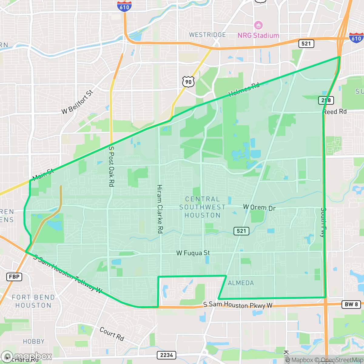
Central Southwest, Houston
Updated June 22, 2026 · 73,229 residents
Central Southwest is a sprawling residential area characterized by mid-century tract housing and a strong presence of local religious institutions. While the neighborhood offers pockets of suburban quiet and access to green corridors, it remains a car-dependent environment defined by its proximity to large-scale industrial logistics hubs and major highway infrastructure.
Key Highlights
About Central Southwest
Central Southwest Houston’s history is rooted in the 1892 unincorporated town of Almeda, established along the Columbia Tap Railroad. Following annexation by Houston in the 1950s, the area transitioned from rural land to suburban tracts, beginning with its first subdivision, Almeda Plaza. Development expanded through the mid-to-late 20th century with mid-century residential neighborhoods like Cambridge Village, Brentwood, and Windsor Village, alongside 1970s growth near Hiram Clarke Road and West Orem Drive. Geographically bisected by Sims Bayou—the site of a massive, 25-year federal flood damage reduction project initiated in 1990—the neighborhood is historically divided. Its northern edge along Holmes Road features heavy industry, old landfills, and an oilfield, while its southern half remains characterized by mid-century single-family homes and prominent local mega-churchesurches.
The area functions as a dense suburban landscape, blending established single-family neighborhoods with significant industrial and logistics zones. Residents benefit from accessible green spaces like local detention basins and utility corridors, which provide necessary buffers between residential streets and the heavy industrial footprints found in the southern and western sectors. The community is anchored by prominent local churches and community centers, which serve as the primary social hubs for the diverse population residing within the neighborhood.
Prospective residents should note that the neighborhood is highly car-dependent, with daily travel often necessitated by the layout of freight corridors and industrial barriers. While the area boasts several high-performing schools, the broader school district faces significant operational challenges that may impact long-term consistency. The environment is marked by modest housing density and moderate noise levels primarily driven by road traffic, making it a practical choice for those seeking affordable, established suburban living near major Houston employment centers.
Neighborhood Scores Across 15 Qualities
Residential spacing in this area is consistent with the city average, featuring a mix of moderate density and varying setbacks between neighbors. According to iHuus data, some blocks present tightly packed structures with narrow gaps, while other sections offer more significant buffers between homes.
Pedestrian navigation is possible via residential streets and park trails, though the area falls slightly below the Houston average due to inconsistent sidewalk coverage and highway barriers. Many low-traffic loops and cul-de-sacs remain safe for walking, even where tree canopy or industrial infrastructure obscures formal paths.
Residential scenery consists primarily of high-density tract housing with uniform rooflines and small yards. This area offers less visual variety than the Houston average, as many lots feature minimal greenery or luxury amenities.
Ample space for dog walking is available due to wide green drainage corridors, utility easements, and nearby park trails. This level of accessibility to grassy areas is consistent with the city average.
A blend of residential tracts and large-scale industrial warehouses creates a landscape that is slightly more open than the Houston average. Residents will find a mix of suburban housing interspersed with significant industrial logistics hubs and undeveloped green spaces.
The area features a mix of light industrial units and suburban greenery, though most social hubs and dining options require a car to reach. This sense of activity is slightly below the city average, as many blocks are characterized by a more serene, low-density atmosphere near warehouses and freight corridors.
Persistent noise from nearby major freeways and railroad corridors is common here. According to iHuus data, acoustic comfort levels in this area are slightly lower than the Houston average.
Air quality levels in this area fluctuate between acceptable and unhealthy, presenting occasional concerns for sensitive groups. According to iHuus data, the air quality here is slightly better than the Houston city average.
Logistics warehouses, utility substations, and heavy truck traffic are noticeable in certain sectors, though the area remains largely residential. Industrial activity levels are roughly in line with the city average.
Health insurance accessibility is lower than the Houston average, according to iHuus data. Residents may face more challenges accessing employer-sponsored or private coverage compared to other parts of the city.
Voting patterns and census indicators show a significantly more liberal leaning than the Houston average, according to iHuus data.
Residents will find a balanced mix of young professionals, families, and older adults. According to iHuus data, this demographic spread is largely in line with the city average.
Residual flood risk exists within this area, though safety levels are slightly above the Houston city average according to iHuus data.
Block-Level Insights for Central Southwest

iHuus Neighborhood Intelligence Insights
Get block-level neighborhood insights for Central Southwest
- Street-level scores — see how individual blocks compare, not just neighborhood averages
- Micro-zone boundaries — identify quiet pockets, flood boundaries, and walkable clusters before you visit
- 15 dimensions in full — walkability, noise, air quality, school quality, insurance coverage, population age profile, urban/rural index, and more
- Boundary risk alerts — know if your address sits near a block boundary where scores drop, the kind of detail no listing will ever mention
- School insights — individual school ratings and insights, not just district-level data
- Compare before you commit — side-by-side data across neighborhoods, down to block precision
No credit card required
Compare with Any Neighborhood
| Dimension | Central Southwest | Acres Home |
|---|---|---|
| 🚶 Walkabilityavg 7.08 | ||
| 🔊 Acoustic Comfortavg 4.14 | ||
| 🤫 Privacy Indexavg 5.34 | ||
| 🎨 Visual Appealavg 6.42 | ||
| 🐕 Dog Friendlinessavg 6.33 | ||
| 🗺️ Urban-Rural Indexavg 6.64 | ||
| ✨ Neighborhood Vibeavg 4.4 | ||
| 🏥 Health Insurance Coverageavg 5.46 | ||
| 🌿 Air Qualityavg 3.58 | ||
| 🏭 Industrial Proximityavg 6.9 | ||
| 🌊 Flood Safetyavg 6.27 | ||
| 🗳️ Ideological Leanavg 6.39 | ||
| 👥 Population Age Profileavg 4.6 | ||
| 🔥 Fire Safety | ||
| 🏫 School Quality |
Central Southwest Rankings
School Districts Serving Central Southwest
Houston ISD is a district in a state of extreme operational and political volatility, currently categorized by a state takeover and the loss of local community control. While the district maintains a collection of world-class magnet and high-performing schools that anchor its academic reputation, these are overshadowed by a 'Toxic' institutional environment characterized by a 33% teacher turnover rate, significant reliance on uncertified staff, and a steady 3.5% annual enrollment loss. Despite reports of rapid academic growth under the state-appointed leadership, the district's stability is undermined by intense community friction, school closures in underserved areas, and an organizational culture increasingly managed through high-stress compliance models, making it a high-risk entity for long-term consistency.
Schools
School Insights for Central Southwest
Below average outcomes; significant attendance and academic challenges.
School Insights
See what's really behind every school rating near Central Southwest
- Individual school ratings — each school's own score with outcome context, not just a district average
- Enrollment & class size data — student-to-teacher ratio and how it compares to the state average
- Full demographics breakdown — ethnicity and gender composition for every school in the enrollment zone
- Every school in the district — all schools within the enrollment boundary ranked by rating, not just the closest one
- Grade levels & benchmarks — elementary through high school, with below/above state-average flags
No credit card required