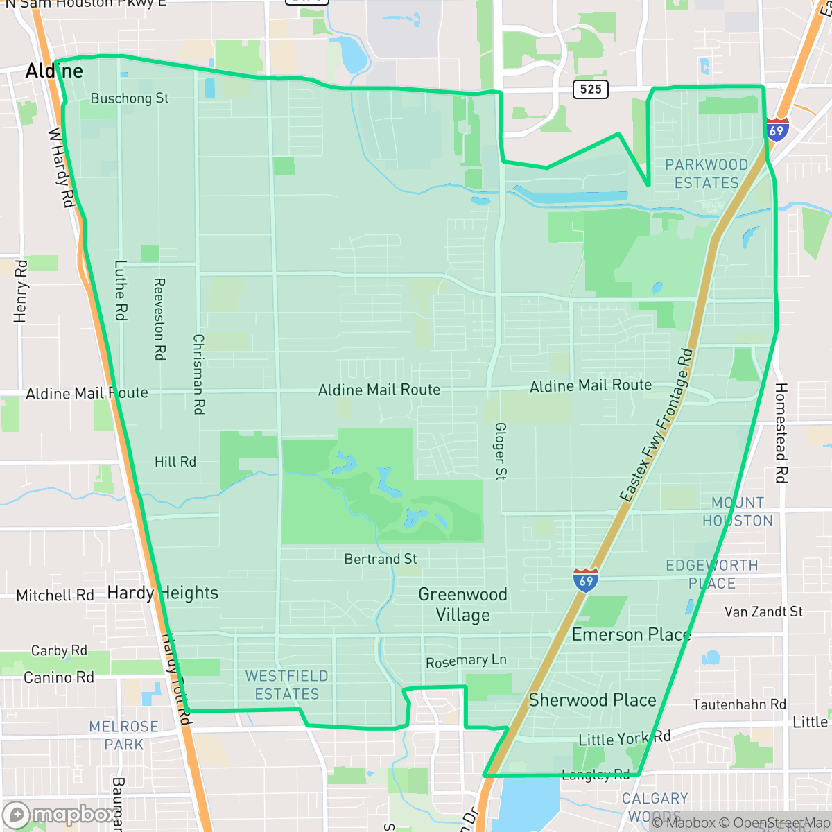
Aldine, Houston
Updated June 22, 2026 · 58,714 residents
Aldine is a semi-rural community defined by its industrial roots and proximity to the North Houston logistics corridor. The area offers a quiet, car-dependent environment with a mix of modest residential housing and significant industrial activity.
Key Highlights
About Aldine
Originally established in 1873 as a whistle-stop named Prairie Switch along the International–Great Northern Railroad, the area was renamed Aldine by the late 1880s. Early settlers, including many of Swedish descent, cultivated orchards of magnolia figs, pears, and satsuma oranges, supported by a local fig cannery. By 1923, the local economy shifted toward industry with the establishment of a major Magnolia Oil Company pumping station. After a period of decline in the mid-20th century, Aldine experienced significant residential growth in the 1970s. Today, it remains a distinct, predominantly Hispanic unincorporated community in northern Harris County, defined by its historical roots as a rail-side agricultural hub and its modern identity as a working-class residential area closely linked to the North Houston industrial and logistics corridor.
The neighborhood functions as a working-class community that balances residential pockets with large-scale warehouse and utility infrastructure. Its landscape is characterized by open land, wooded patches, and a functional aesthetic, reflecting its history as a rail-side hub. Residents navigate a semi-rural environment where industrial noise and truck traffic are common features of daily life, according to iHuus data.
The area presents a complex profile for prospective residents, particularly regarding infrastructure and health resources. While the neighborhood provides moderate spacing between homes, it faces challenges with inconsistent pedestrian connectivity and limited access to health insurance coverage. Air quality is a noted concern for sensitive groups, and the lack of comprehensive flood mapping creates uncertainty for property owners. Families should consider the varied academic landscape, as the local school district relies heavily on specialized choice programs to offset performance gaps in traditional campus settings.
Neighborhood Scores Across 15 Qualities
Residential spacing provides a moderate level of separation between structures, which is slightly higher than the Houston average. According to iHuus data, density varies between closely packed clusters and more traditional suburban lots with small yards.
Pedestrian infrastructure varies across the area, as some residential streets lack dedicated paved paths while others feature well-defined networks. Walking is generally possible on quiet streets, but overall connectivity is below the Houston average due to interrupted sidewalk coverage.
Standard tract housing and modest apartment complexes define the area, though visible debris and unpaved lots contribute to a landscape that is less visually polished than the Houston average. According to iHuus data, the neighborhood lacks luxury amenities and private estates, featuring mostly simple rooflines and small yards.
Public parks and green verges offer some opportunities for walking dogs, though overall access is slightly below the Houston average. Some residential pockets feature large wooded areas and drainage channel greenbelts, while other areas lack wide sidewalks or accessible public greenery.
Open land and wooded patches are more prevalent here than in the typical Houston urban environment. Residents will find a landscape characterized by a mix of scattered homes, significant greenery, and large-scale industrial zones according to iHuus data.
Most areas consist of low-density industrial and warehouse corridors that offer a calm, car-dependent environment. While some pockets feature scattered dining and local services, the overall level of activity is slightly below the Houston average.
Steady sound from nearby busy streets creates a consistent hum that is slightly more noticeable than the Houston average. According to iHuus data, this level of acoustic activity is typical for areas adjacent to primary thoroughfares.
Frequent unhealthy air quality levels pose a significant risk to sensitive groups. According to iHuus data, the air quality in Aldine is noticeably worse than the Houston average.
Logistics hubs, warehouses, and salvage yards create notable truck traffic and noise levels throughout the area. This concentration of commercial activity and utility infrastructure is higher than the Houston average.
Health insurance coverage is significantly lower than the Houston average. According to iHuus data, a small portion of the local population is covered by health insurance plans.
Political leanings in Aldine trend more liberal than the Houston average. According to iHuus data, the area maintains a liberal majority with a modest opposing presence.
Residents live alongside a varied demographic of young adults, families, and seniors. According to iHuus data, this age distribution is slightly more concentrated toward middle-age groups than the Houston average.
Flood risk levels are difficult to verify because federal authorities have not completed a detailed study for this area. According to iHuus data, the lack of precise mapping results in a higher level of uncertainty compared to the Houston average.
Block-Level Insights for Aldine

iHuus Neighborhood Intelligence Insights
Get block-level neighborhood insights for Aldine
- Street-level scores — see how individual blocks compare, not just neighborhood averages
- Micro-zone boundaries — identify quiet pockets, flood boundaries, and walkable clusters before you visit
- 15 dimensions in full — walkability, noise, air quality, school quality, insurance coverage, population age profile, urban/rural index, and more
- Boundary risk alerts — know if your address sits near a block boundary where scores drop, the kind of detail no listing will ever mention
- School insights — individual school ratings and insights, not just district-level data
- Compare before you commit — side-by-side data across neighborhoods, down to block precision
No credit card required
Compare with Any Neighborhood
| Dimension | Aldine | Acres Home |
|---|---|---|
| 🚶 Walkabilityavg 7.08 | ||
| 🔊 Acoustic Comfortavg 4.14 | ||
| 🤫 Privacy Indexavg 5.34 | ||
| 🎨 Visual Appealavg 6.42 | ||
| 🐕 Dog Friendlinessavg 6.33 | ||
| 🗺️ Urban-Rural Indexavg 6.64 | ||
| ✨ Neighborhood Vibeavg 4.4 | ||
| 🏥 Health Insurance Coverageavg 5.46 | ||
| 🌿 Air Qualityavg 3.58 | ||
| 🏭 Industrial Proximityavg 6.9 | ||
| 🌊 Flood Safetyavg 6.27 | ||
| 🗳️ Ideological Leanavg 6.39 | ||
| 👥 Population Age Profileavg 4.6 | ||
| 🔥 Fire Safety | ||
| 🏫 School Quality |
Aldine Rankings
School Districts Serving Aldine
Aldine ISD is a district in transition, characterized by a high-performing portfolio of specialized choice schools and high schools contrasted with deep academic struggles in its traditional middle school feeders. While ground truth data shows several campuses at 2/10 and 4/10 proficiency levels, the district's operational health is stabilized by proactive teacher retention strategies, successful bond-funded modernization, and expanding dual-enrollment partnerships. Leadership is effectively leveraging 'Choice Schools' as a driver for excellence, though the gap between these elite programs and neighborhood schools remains the primary barrier to 'Blue Chip' status.
Schools
Houston ISD is a district in a state of extreme operational and political volatility, currently categorized by a state takeover and the loss of local community control. While the district maintains a collection of world-class magnet and high-performing schools that anchor its academic reputation, these are overshadowed by a 'Toxic' institutional environment characterized by a 33% teacher turnover rate, significant reliance on uncertified staff, and a steady 3.5% annual enrollment loss. Despite reports of rapid academic growth under the state-appointed leadership, the district's stability is undermined by intense community friction, school closures in underserved areas, and an organizational culture increasingly managed through high-stress compliance models, making it a high-risk entity for long-term consistency.
Schools
School Insights for Aldine
Below average outcomes; significant attendance and academic challenges.
School Insights
See what's really behind every school rating near Aldine
- Individual school ratings — each school's own score with outcome context, not just a district average
- Enrollment & class size data — student-to-teacher ratio and how it compares to the state average
- Full demographics breakdown — ethnicity and gender composition for every school in the enrollment zone
- Every school in the district — all schools within the enrollment boundary ranked by rating, not just the closest one
- Grade levels & benchmarks — elementary through high school, with below/above state-average flags
No credit card required