Save the Valley 21, El Paso
Updated June 22, 2026 · 26,653 residents
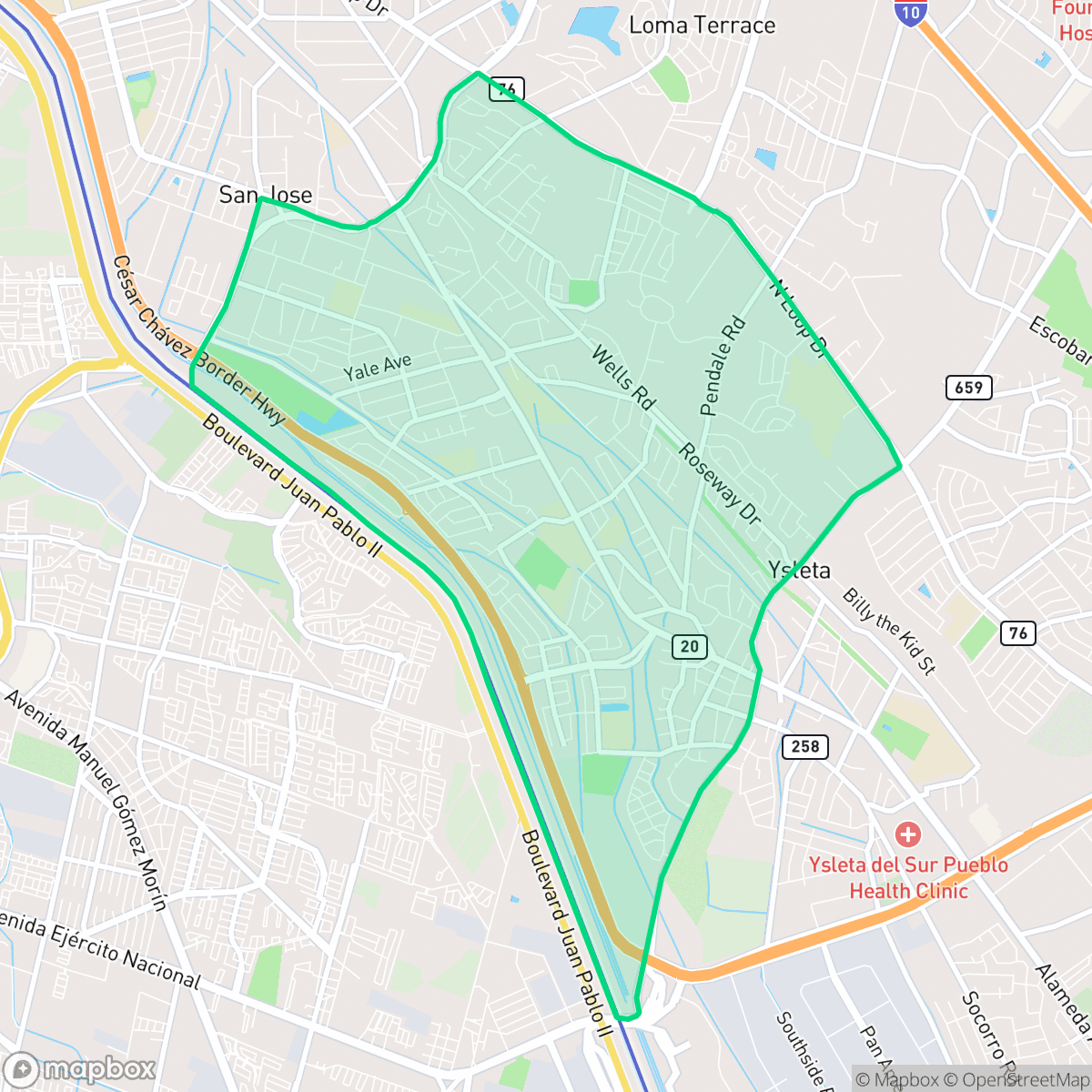
Save the Valley 21 is a quiet, densely developed suburban neighborhood in El Paso characterized by a mix of single-family homes and mobile home parks. While the area offers access to top-rated schools within the Ysleta Independent School District, residents experience a car-oriented environment with limited pedestrian infrastructure and closely packed housing.
Key Highlights
About Save the Valley 21
Located in El Paso, this neighborhood features a dense suburban landscape defined by a combination of established residential grids, mobile home communities, and light industrial zones. The area maintains a quiet atmosphere with proximity to major transit corridors and local services, including various dining options and community centers. According to iHuus data, it is served by the highly regarded Ysleta Independent School District, which provides residents with access to top-tier academic institutions and specialized educational programs.
Living in the area requires a reliance on personal vehicles, as the pedestrian network is fragmented and often interrupted by high-speed arterial roads. The neighborhood presents a mix of housing types with relatively close proximity between structures, which impacts overall privacy. While the air quality is high, prospective residents should be aware of the limited public green space and the potential for noise from nearby industrial and highway activity. The area is best suited for those prioritizing access to quality schools and a quiet, car-oriented residential environment.
Neighborhood Scores Across 15 Qualities
Residential spacing varies significantly across the area, ranging from closely packed mobile home lots to single-family homes with modest yards. This level of density is roughly in line with the average for El Paso.
Walking is primarily restricted to quiet residential streets, as many arterial roads lack sidewalks and feature wide, high-speed lanes. According to iHuus data, the neighborhood's pedestrian connectivity is lower than the El Paso average due to these fragmented pathways and dirt shoulders.
Visual variety is limited due to a high concentration of dense tract housing, mobile home parks, and unpaved lots. This area offers a more utilitarian landscape than the El Paso average, characterized by modest rooflines and few luxury amenities.
Public greenery and wide, grassy verges are scarce in this area. While a central park and school fields offer some open space, most vegetation is confined to private yards and the landscape is primarily arid.
Frequent open land and scattered homes amid fields define this area. The landscape features a mix of industrial warehousing and low-density residential pockets that is very similar to the El Paso average.
Limited commercial activity and a reliance on vehicles define this area, which possesses a lower level of social energy than the El Paso average. Most residents will find the landscape primarily composed of quiet residential and industrial spaces with few nearby destinations for leisure or dining.
Frequent noise from nearby railroad tracks and major freeways characterizes this area. According to iHuus data, acoustic disturbance levels are slightly higher than the El Paso city average.
Air quality remains consistently high with minimal health concerns for residents. This level of air purity is on par with the average found throughout El Paso.
Industrial presence is minimal, consisting mostly of residential and light commercial areas. This area maintains a slightly lower level of industrial activity compared to the El Paso average.
Health insurance access is less common here than in the rest of El Paso. According to iHuus data, a minority of the local population maintains coverage.
Voting patterns and census indicators reflect a more liberal political leaning than the average El Paso neighborhood, according to iHuus data.
Residents live alongside a balanced mix of young adults, families, and seniors. This demographic spread is slightly more varied than the typical El Paso population profile, according to iHuus data.
Significant flood risk exists here due to the area's location within a 100-year floodplain, which is considerably higher than the El Paso average. Residents should account for the likely necessity of flood insurance according to iHuus data.
Block-Level Insights for Save the Valley 21

iHuus Neighborhood Intelligence Insights
Get block-level neighborhood insights for Save the Valley 21
- Street-level scores — see how individual blocks compare, not just neighborhood averages
- Micro-zone boundaries — identify quiet pockets, flood boundaries, and walkable clusters before you visit
- 15 dimensions in full — walkability, noise, air quality, school quality, insurance coverage, population age profile, urban/rural index, and more
- Boundary risk alerts — know if your address sits near a block boundary where scores drop, the kind of detail no listing will ever mention
- School insights — individual school ratings and insights, not just district-level data
- Compare before you commit — side-by-side data across neighborhoods, down to block precision
No credit card required
Compare with Any Neighborhood
| Dimension | Save the Valley 21 | A Presidential Neighborhood |
|---|---|---|
| 🚶 Walkabilityavg 6.43 | ||
| 🔊 Acoustic Comfortavg 3.42 | ||
| 🤫 Privacy Indexavg 5.26 | ||
| 🎨 Visual Appealavg 5.76 | ||
| 🐕 Dog Friendlinessavg 4.74 | ||
| 🗺️ Urban-Rural Indexavg 6.67 | ||
| ✨ Neighborhood Vibeavg 4.56 | ||
| 🏥 Health Insurance Coverageavg 4.91 | ||
| 🌿 Air Qualityavg 9.4 | ||
| 🏭 Industrial Proximityavg 7.86 | ||
| 🌊 Flood Safetyavg 3.36 | ||
| 🗳️ Ideological Leanavg 8 | ||
| 👥 Population Age Profileavg 4.76 | ||
| 🔥 Fire Safety | ||
| 🏫 School Quality |
Save the Valley 21 Rankings
School Districts Serving Save the Valley 21
Ysleta ISD is a premier 'Blue Chip' district that maintains elite academic standards and operational stability despite regional economic headwinds. Recognized as the top-performing district in the El Paso area for five consecutive years, it boasts a remarkably consistent portfolio of high-performing schools, including several state-recognized 'Gold Ribbon' and early college campuses. While navigating manageable budget deficits through strategic administrative consolidation and attendance-based calendar reforms, the district continues to excel in college readiness, athletic championships, and teacher retention. Its robust safety protocols and highly-regarded special education services further solidify its standing as a regional leader in public education.
Schools
School Insights for Save the Valley 21
Below average outcomes; significant attendance and academic challenges.
School Insights
See what's really behind every school rating near Save the Valley 21
- Individual school ratings — each school's own score with outcome context, not just a district average
- Enrollment & class size data — student-to-teacher ratio and how it compares to the state average
- Full demographics breakdown — ethnicity and gender composition for every school in the enrollment zone
- Every school in the district — all schools within the enrollment boundary ranked by rating, not just the closest one
- Grade levels & benchmarks — elementary through high school, with below/above state-average flags
No credit card required