Little Bit of Country, El Paso
Updated June 22, 2026 · 142 residents
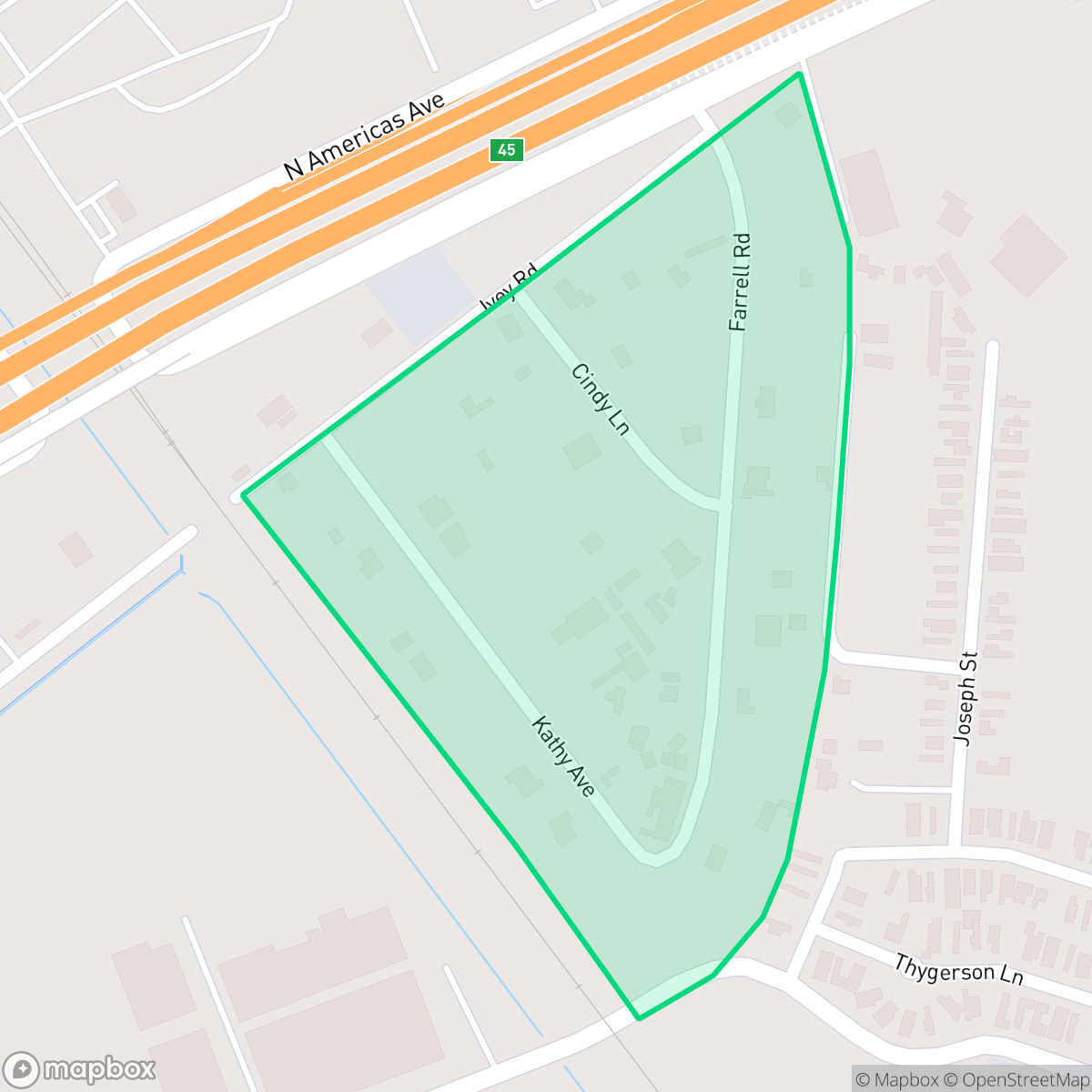
Little Bit of Country is a small, industrial-suburban enclave in El Paso characterized by a mix of mobile homes and large-scale logistics facilities. While the area provides access to the highly-regarded Ysleta Independent School District, residents face challenges regarding high ambient noise levels from road traffic and poor air quality.
Key Highlights
About Little Bit of Country
Little Bit of Country serves as an industrial-residential hub in El Paso, defined by its proximity to major logistics centers, warehouses, and auto salvage yards. The physical landscape is dominated by a car-dependent layout that connects residential mobile home clusters to nearby industrial zones. While the neighborhood maintains a distinct, low-density character, the prevalence of heavy truck traffic and proximity to major roadways result in high ambient noise levels and compromised air quality.
The area is best suited for those who prioritize proximity to industrial employment centers and access to the top-rated Ysleta Independent School District. Prospective residents should consider the trade-offs of living in a flood-prone zone with limited walkability and infrastructure challenges. Given the significant environmental and acoustic factors, the neighborhood is less ideal for those seeking a quiet, pedestrian-friendly environment.
Neighborhood Scores Across 15 Qualities
Residential spacing is mixed, providing more separation between neighbors than the typical El Paso area. According to iHuus data, the neighborhood offers a moderate level of buffer between adjacent properties.
Limited sidewalk availability and heavy traffic make pedestrian travel uncomfortable. This area is significantly less walkable than the El Paso average, according to iHuus data.
Standard tract housing dominates the area, featuring uniform rooflines and small, tidy yards. This residential landscape is less visually varied than the El Paso average, according to iHuus data.
Sparse greenery and narrow roadside verges make this area less ideal for long walks with pets. According to iHuus data, the lack of open parkland is notably below the El Paso average.
Open land and scattered residential structures create a more spacious atmosphere than the typical El Paso urban center. This area features a mix of industrial lots and low-density housing, according to iHuus data.
Industrial warehouses and freight corridors create a subdued atmosphere that is less active than the El Paso average. While various dining options are available, the car-dependent layout and presence of large-scale logistics hubs limit the area's daily energy.
Constant noise from nearby airport runways and heavy rail infrastructure makes this area significantly louder than the El Paso average. According to iHuus data, residents can expect minimal acoustic comfort due to this continuous industrial and transit activity.
Frequent unhealthy air quality levels pose a significant risk to sensitive groups. According to iHuus data, these conditions are considerably worse than the average seen throughout El Paso.
Residential areas blend with light commercial units, though this neighborhood features significantly less industrial density than the El Paso average. According to iHuus data, heavy logistics hubs and large-scale freight operations are not a dominant feature of this specific area.
Health insurance coverage among residents is significantly lower than the El Paso city average, according to iHuus data. This indicates a high proportion of the population lacks access to employer-sponsored or private medical coverage.
Voting patterns and census indicators show a strong liberal leaning that is more pronounced than the El Paso city average.
Residents will find a relatively balanced demographic spread of young adults, families, and seniors. This age distribution is slightly lower than the typical profile found across El Paso.
Flood vulnerability is significantly higher than the El Paso average, which may lead to elevated or prohibitive insurance costs for residents. According to iHuus data, this area is subject to high-hazard zone risks.
Block-Level Insights for Little Bit of Country

iHuus Neighborhood Intelligence Insights
Get block-level neighborhood insights for Little Bit of Country
- Street-level scores — see how individual blocks compare, not just neighborhood averages
- Micro-zone boundaries — identify quiet pockets, flood boundaries, and walkable clusters before you visit
- 15 dimensions in full — walkability, noise, air quality, school quality, insurance coverage, population age profile, urban/rural index, and more
- Boundary risk alerts — know if your address sits near a block boundary where scores drop, the kind of detail no listing will ever mention
- School insights — individual school ratings and insights, not just district-level data
- Compare before you commit — side-by-side data across neighborhoods, down to block precision
No credit card required
Compare with Any Neighborhood
| Dimension | Little Bit of Country | A Presidential Neighborhood |
|---|---|---|
| 🚶 Walkabilityavg 6.43 | ||
| 🔊 Acoustic Comfortavg 3.42 | ||
| 🤫 Privacy Indexavg 5.26 | ||
| 🎨 Visual Appealavg 5.76 | ||
| 🐕 Dog Friendlinessavg 4.74 | ||
| 🗺️ Urban-Rural Indexavg 6.67 | ||
| ✨ Neighborhood Vibeavg 4.56 | ||
| 🏥 Health Insurance Coverageavg 4.91 | ||
| 🌿 Air Qualityavg 9.4 | ||
| 🏭 Industrial Proximityavg 7.86 | ||
| 🌊 Flood Safetyavg 3.36 | ||
| 🗳️ Ideological Leanavg 8 | ||
| 👥 Population Age Profileavg 4.76 | ||
| 🔥 Fire Safety | ||
| 🏫 School Quality |
Little Bit of Country Rankings
School Districts Serving Little Bit of Country
Ysleta ISD is a premier 'Blue Chip' district that maintains elite academic standards and operational stability despite regional economic headwinds. Recognized as the top-performing district in the El Paso area for five consecutive years, it boasts a remarkably consistent portfolio of high-performing schools, including several state-recognized 'Gold Ribbon' and early college campuses. While navigating manageable budget deficits through strategic administrative consolidation and attendance-based calendar reforms, the district continues to excel in college readiness, athletic championships, and teacher retention. Its robust safety protocols and highly-regarded special education services further solidify its standing as a regional leader in public education.
Schools
School Insights for Little Bit of Country
Below average outcomes; significant attendance and academic challenges.
School Insights
See what's really behind every school rating near Little Bit of Country
- Individual school ratings — each school's own score with outcome context, not just a district average
- Enrollment & class size data — student-to-teacher ratio and how it compares to the state average
- Full demographics breakdown — ethnicity and gender composition for every school in the enrollment zone
- Every school in the district — all schools within the enrollment boundary ranked by rating, not just the closest one
- Grade levels & benchmarks — elementary through high school, with below/above state-average flags
No credit card required