A Presidential Neighborhood, El Paso
Updated June 22, 2026 · 593 residents
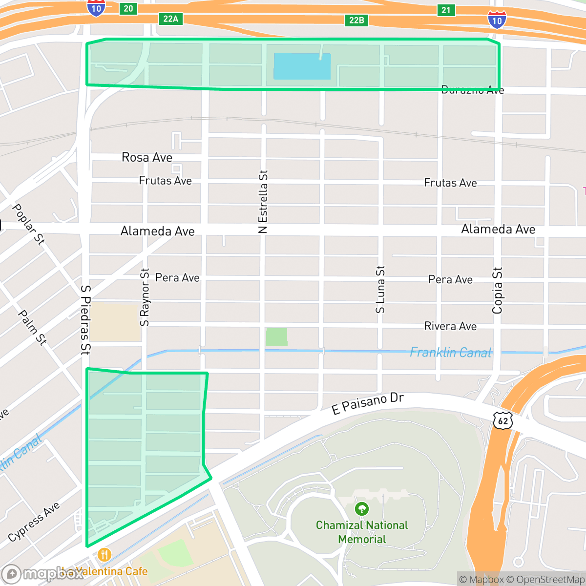
A Presidential Neighborhood is a compact, urban community in El Paso characterized by a dense grid layout and high walkability. Residents benefit from proximity to El Barrio Park, though the area faces significant noise from road traffic and is situated near industrial zones.
Key Highlights
About A Presidential Neighborhood
Located in El Paso, this neighborhood features a dense, grid-based residential layout where homes are situated closely together. The area is defined by its proximity to industrial infrastructure, including warehouses and rail lines, which contributes to a distinct urban landscape. Despite the industrial presence, the community maintains high walkability with consistent sidewalk access throughout most blocks.
Living here requires navigating specific trade-offs, particularly regarding environmental and safety factors. The neighborhood experiences elevated noise levels primarily due to road traffic, and residents should be aware of the limited flood safety and low health insurance coverage rates. While the local school district is currently undergoing significant structural transitions, the area remains an accessible, high-energy hub for those who prioritize pedestrian connectivity and local amenities like El Barrio Park.
Neighborhood Scores Across 15 Qualities
Residential structures are tightly packed with minimal separation between rooftops, resulting in a lower privacy level than the El Paso average. According to iHuus data, the high density of homes and lack of vegetative buffering create close quarters for residents.
Residential blocks feature a grid layout with pedestrian crossings, but large highway barriers and industrial zones interrupt the sidewalk network. Walking is generally less convenient here than in most other parts of El Paso due to these obstructions and heavy truck traffic near rail yards.
Dense housing with small lots, dirt yards, and proximity to industrial zones creates a landscape that is notably less visually diverse than the El Paso average. According to iHuus data, the area is characterized by repetitive structures and limited greenery.
Limited green verges and narrow sidewalks make walking pets difficult in most parts of the neighborhood. While a large public park is accessible to the south, much of the area consists of concrete surfaces and minimal natural landscape, which is slightly below the El Paso average according to iHuus data.
Streets and green spaces are distributed somewhat evenly, though the area features a more industrial and low-density character than the El Paso average. Large portions of the neighborhood consist of commercial warehouses and major transportation corridors according to iHuus data.
Mixes active social hubs and diverse dining options with quieter suburban stretches. This level of activity is slightly higher than the El Paso city average, though most amenities require a vehicle to reach.
Frequent noise from nearby freeways and railroad tracks characterizes this area. This level of acoustic disturbance is notably higher than the El Paso city average, according to iHuus data.
Air quality in this area is excellent and remains largely consistent with the city average. Residents can expect very little pollution or health-related concerns from the atmosphere according to iHuus data.
Heavy industrial activity, including large warehouses, rail yards, and logistics hubs, is more prominent here than in most other parts of El Paso. Residents may experience increased truck traffic and noise from nearby transit infrastructure and storage facilities.
Health insurance access is significantly lower than the El Paso average. Residents in this area face much higher rates of uninsured status compared to the rest of the city.
Voting patterns and census indicators reflect a more liberal political leaning than the El Paso average, according to iHuus data.
Residents experience a balanced demographic spread of young adults, families, and seniors. This age distribution is largely consistent with the broader El Paso area according to iHuus data.
Flood risk is significantly higher here than the El Paso average. Residents should anticipate a substantial risk of flooding and potentially elevated insurance costs according to iHuus data.
Block-Level Insights for A Presidential Neighborhood

iHuus Neighborhood Intelligence Insights
Get block-level neighborhood insights for A Presidential Neighborhood
- Street-level scores — see how individual blocks compare, not just neighborhood averages
- Micro-zone boundaries — identify quiet pockets, flood boundaries, and walkable clusters before you visit
- 15 dimensions in full — walkability, noise, air quality, school quality, insurance coverage, population age profile, urban/rural index, and more
- Boundary risk alerts — know if your address sits near a block boundary where scores drop, the kind of detail no listing will ever mention
- School insights — individual school ratings and insights, not just district-level data
- Compare before you commit — side-by-side data across neighborhoods, down to block precision
No credit card required
Compare with Any Neighborhood
| Dimension | A Presidential Neighborhood | Alameda Business |
|---|---|---|
| 🚶 Walkabilityavg 6.43 | ||
| 🔊 Acoustic Comfortavg 3.42 | ||
| 🤫 Privacy Indexavg 5.26 | ||
| 🎨 Visual Appealavg 5.76 | ||
| 🐕 Dog Friendlinessavg 4.74 | ||
| 🗺️ Urban-Rural Indexavg 6.67 | ||
| ✨ Neighborhood Vibeavg 4.56 | ||
| 🏥 Health Insurance Coverageavg 4.91 | ||
| 🌿 Air Qualityavg 9.4 | ||
| 🏭 Industrial Proximityavg 7.86 | ||
| 🌊 Flood Safetyavg 3.36 | ||
| 🗳️ Ideological Leanavg 8 | ||
| 👥 Population Age Profileavg 4.76 | ||
| 🔥 Fire Safety | ||
| 🏫 School Quality |
A Presidential Neighborhood Rankings
School Districts Serving A Presidential Neighborhood
El Paso Independent School District is currently in a state of high-stakes transition, characterized by a sharp performance gap between its premier magnet programs and struggling neighborhood schools. While the district maintains several 10/10-rated 'Blue Chip' campuses and celebrates successes in fine arts and college readiness, it is grappling with significant structural headwinds including a multi-million dollar budget deficit, declining student enrollment, and the contentious 'Destination EPISD' school closure plan. Operational stability is hampered by teacher morale concerns and administrative friction, though strong extracurricular pipelines and improving graduation rates provide a foundation of academic resilience. The district remains a viable but polarized choice, requiring parents to navigate between elite specialized 'pockets' and campuses currently under consolidation pressure.
Schools
School Insights for A Presidential Neighborhood
Below average outcomes; significant attendance and academic challenges.
School Insights
See what's really behind every school rating near A Presidential Neighborhood
- Individual school ratings — each school's own score with outcome context, not just a district average
- Enrollment & class size data — student-to-teacher ratio and how it compares to the state average
- Full demographics breakdown — ethnicity and gender composition for every school in the enrollment zone
- Every school in the district — all schools within the enrollment boundary ranked by rating, not just the closest one
- Grade levels & benchmarks — elementary through high school, with below/above state-average flags
No credit card required