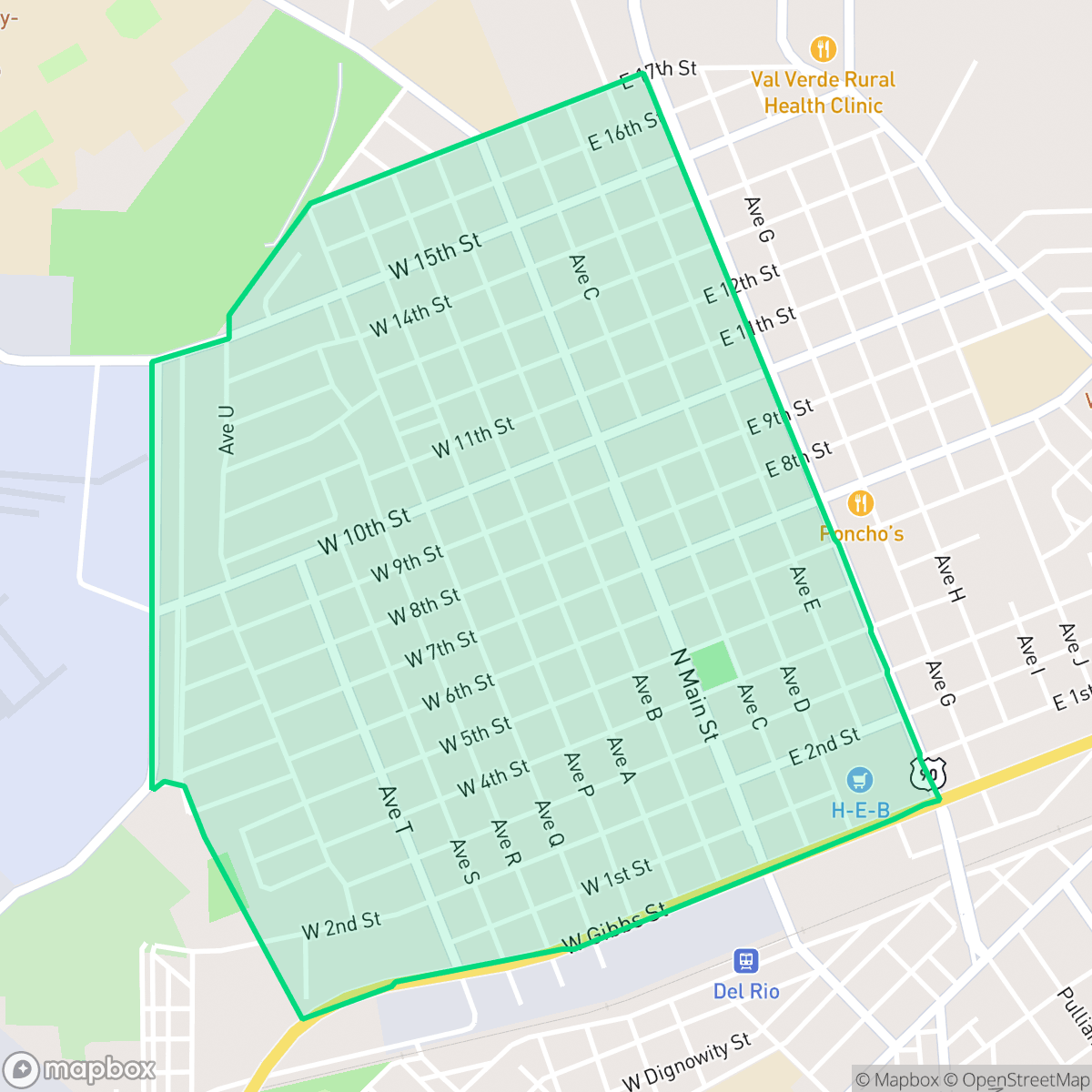
Westside, Del Rio
Updated June 22, 2026 · 4,536 residents
The Westside neighborhood in Del Rio is a suburban community characterized by a mix of residential streets, light industrial units, and local social hubs like Uco Park. While the area offers a moderate level of local activity, it remains a car-dependent environment where residents navigate limited walkability. According to iHuus data, the neighborhood provides a balanced suburban atmosphere with steady community access to essential services.
Key Highlights
About Westside
Westside serves as a functional, mixed-use area within Del Rio, blending residential living with active commercial zones and light industrial spaces. The neighborhood features a suburban layout with accessible green spaces and social anchors, such as local Mexican eateries and recreational spots like Uco Park. While it maintains a consistent level of liveliness, the area is primarily defined by its car-dependent infrastructure and proximity to major transit corridors, which contribute to a noticeable baseline of road and aviation noise.
For prospective residents, the area offers a stable environment with health insurance coverage rates slightly above the city average. While the neighborhood faces challenges regarding visual appeal and dog friendliness, it provides a reliable setting for those seeking proximity to local workforce hubs and community-focused school programs. According to iHuus, the neighborhood maintains a moderate flood safety profile, making it a practical consideration for families and individuals prioritizing accessibility and community stability within the San Felipe-Del Rio school district.
Neighborhood Scores Across 15 Qualities
Residential spacing is mixed, providing some buffer between neighbors but offering less seclusion than the Del Rio average. According to iHuus data, density levels remain moderate throughout the area.
Pedestrian movement is possible due to low traffic volume, though the absence of sidewalks is a notable feature. This level of walkability is slightly higher than the Del Rio average according to iHuus data.
Standard tract housing defines the area with simple rooflines and modest yards. This visual character is slightly below the Del Rio average.
Limited access to public parks and a lack of wide green verges make pet walking less convenient here than in the rest of Del Rio. According to iHuus data, residents may find fewer opportunities for outdoor exercise for dogs compared to the city average.
Open land and scattered homes characterize this area, providing a more rural feel than the more densely developed parts of Del Rio. According to iHuus data, the landscape features frequent patches of woodland and fields interspersed with residential pockets.
Local dining and social hubs provide a more active atmosphere than the Del Rio average. While various restaurants and parks are accessible, the area remains primarily car-dependent due to its suburban layout.
Persistent noise from nearby busy streets characterizes this area. According to iHuus data, acoustic comfort in Westside is slightly below the Del Rio city average.
Residential life remains largely uninterrupted by heavy industry, as the area consists primarily of housing and light commercial zones. This level of industrial separation is slightly lower than the Del Rio average, though no significant industrial hazards are present according to iHuus data.
Health insurance accessibility is higher in this area than in the rest of Del Rio. According to iHuus data, a significant majority of the local population maintains active coverage.
Political leanings in this area are evenly split between conservative and liberal perspectives. This reflects a more balanced ideological landscape than the Del Rio city average, according to iHuus data.
A diverse mix of young adults, families, and seniors resides here, reflecting a demographic distribution that is largely consistent with the rest of Del Rio.
Flood risk in this area is higher than the Del Rio average, though a lack of detailed FEMA studies makes the exact level of danger difficult to determine. Residents should remain cautious as the area is currently categorized with undetermined risk levels.
Block-Level Insights for Westside

iHuus Neighborhood Intelligence Insights
Get block-level neighborhood insights for Westside
- Street-level scores — see how individual blocks compare, not just neighborhood averages
- Micro-zone boundaries — identify quiet pockets, flood boundaries, and walkable clusters before you visit
- 15 dimensions in full — walkability, noise, air quality, school quality, insurance coverage, population age profile, urban/rural index, and more
- Boundary risk alerts — know if your address sits near a block boundary where scores drop, the kind of detail no listing will ever mention
- School insights — individual school ratings and insights, not just district-level data
- Compare before you commit — side-by-side data across neighborhoods, down to block precision
No credit card required
Compare with Any Neighborhood
| Dimension | Westside | Barrio Chihuahua |
|---|---|---|
| 🚶 Walkabilityavg 5.34 | ||
| 🔊 Acoustic Comfortavg 4.44 | ||
| 🤫 Privacy Indexavg 6.16 | ||
| 🎨 Visual Appealavg 4.84 | ||
| 🐕 Dog Friendlinessavg 5.38 | ||
| 🗺️ Urban-Rural Indexavg 7.54 | ||
| ✨ Neighborhood Vibeavg 5.53 | ||
| 🏥 Health Insurance Coverageavg 6.13 | ||
| 🌿 Air Quality | ||
| 🏭 Industrial Proximityavg 8.41 | ||
| 🌊 Flood Safetyavg 3.5 | ||
| 🗳️ Ideological Leanavg 3.37 | ||
| 👥 Population Age Profileavg 4.72 | ||
| 🔥 Fire Safety | ||
| 🏫 School Quality |
Westside Rankings
School Districts Serving Westside
San Felipe-Del Rio CISD is a stable, mid-performing district characterized by excellent financial management and exceptional specialized programs, particularly in CTE and military-aligned technical training. While the district maintains a 'Superior' financial standing and has successfully executed a major structural reconfiguration of its middle schools to address growth, its overall academic profile is currently mixed, with state ratings in the 'acceptable' range and notable performance disparities between its top-tier early college and magnet programs and its standard elementary campuses. Strong community support and proactive security investments define the current operational climate, making it a reliable but transitioning district that prioritizes workforce readiness and student safety.
Schools
School Insights for Westside
Below average outcomes; significant attendance and academic challenges.
School Insights
See what's really behind every school rating near Westside
- Individual school ratings — each school's own score with outcome context, not just a district average
- Enrollment & class size data — student-to-teacher ratio and how it compares to the state average
- Full demographics breakdown — ethnicity and gender composition for every school in the enrollment zone
- Every school in the district — all schools within the enrollment boundary ranked by rating, not just the closest one
- Grade levels & benchmarks — elementary through high school, with below/above state-average flags
No credit card required