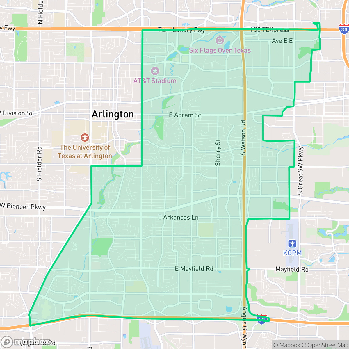
East, Arlington
Updated June 22, 2026 · 112,243 residents
East is a dense suburban neighborhood in Arlington characterized by a mix of single-family homes and multi-family apartment complexes. While the area offers a comprehensive sidewalk network for pedestrians, it maintains a car-dependent atmosphere due to its proximity to industrial logistics hubs and major transit arterials.
Key Highlights
About East
East serves as a dense suburban landscape within Arlington, featuring a blend of traditional tract housing and multi-family residential developments. The area is defined by its industrial-adjacent character, where residential blocks often sit in close proximity to large-scale warehouses and logistics facilities. According to iHuus data, the neighborhood maintains a consistent sidewalk network that facilitates local pedestrian movement, although the overall layout remains heavily oriented toward vehicle travel. Residents should consider the trade-offs of living in this industrial-adjacent environment, which includes elevated noise levels from nearby road traffic and logistics operations. While the neighborhood offers accessible green spaces and school options within the Arlington Independent School District, it faces challenges regarding flood safety and limited health insurance coverage. This area is best suited for those prioritizing proximity to major thoroughfares and a functional, if quiet, suburban lifestyle that balances residential density with nearby commercial infrastructure.
Neighborhood Scores Across 15 Qualities
Residential spacing varies throughout the area, featuring both closely packed apartment clusters and single-family homes with moderate buffers. This level of density is roughly comparable to the Arlington city average.
Sidewalks are present along residential streets and major thoroughfares, though large intersections and high-traffic arterials can occasionally interrupt continuous pedestrian routes. While the neighborhood is slightly below the city average for walkability, low-traffic residential loops and established crosswalks provide a safe environment for walking and strollers.
Uniform rooflines and modest yards characterize this area, which offers less visual variety than the Arlington average. Most residential blocks consist of standard tract housing and apartment complexes with shared amenities.
Access to walking paths and green space for pets is slightly below the Arlington average. While some areas feature wide grassy verges and accessible public parks, other sections are primarily composed of private yards with limited public greenery.
A mix of single-family homes and industrial warehouses defines this area. The landscape is slightly more developed than the Arlington average, featuring a significant presence of large-scale commercial infrastructure and paved logistics zones.
A mix of industrial units, green spaces, and diverse dining options creates a moderately active atmosphere that is slightly more lively than the city average. While various social hubs and eateries are available, many areas remain car-dependent due to the spread of warehouses and highways.
Steady sound from nearby busy streets creates a consistent background hum. According to iHuus data, this level of acoustic activity is roughly comparable to the city average.
Unhealthy air quality levels occur frequently in this area, posing a significant risk to sensitive groups. This condition is slightly worse than the average seen across Arlington, according to iHuus data.
Residential and light commercial uses predominate, offering a landscape largely free from heavy industrial hazards. While some logistics hubs and warehouses are present, the level of industrial proximity is slightly lower than the Arlington average.
Health insurance accessibility is notably lower in this area than the Arlington average, according to iHuus data.
Political leanings in this area trend more liberal than the Arlington average, featuring a significant liberal majority with a smaller conservative presence according to iHuus data.
Residents live alongside a varied demographic of young adults, families, and older populations. According to iHuus data, this age distribution is slightly more concentrated toward specific age groups than the Arlington average.
Significant flood risk exists in this area due to its location within a designated floodplain. According to iHuus data, this risk is considerably higher than the Arlington average and typically necessitates flood insurance.
Block-Level Insights for East

iHuus Neighborhood Intelligence Insights
Get block-level neighborhood insights for East
- Street-level scores — see how individual blocks compare, not just neighborhood averages
- Micro-zone boundaries — identify quiet pockets, flood boundaries, and walkable clusters before you visit
- 15 dimensions in full — walkability, noise, air quality, school quality, insurance coverage, population age profile, urban/rural index, and more
- Boundary risk alerts — know if your address sits near a block boundary where scores drop, the kind of detail no listing will ever mention
- School insights — individual school ratings and insights, not just district-level data
- Compare before you commit — side-by-side data across neighborhoods, down to block precision
No credit card required
Compare with Any Neighborhood
| Dimension | East | Central |
|---|---|---|
| 🚶 Walkabilityavg 7.59 | ||
| 🔊 Acoustic Comfortavg 4.22 | ||
| 🤫 Privacy Indexavg 5.65 | ||
| 🎨 Visual Appealavg 6.96 | ||
| 🐕 Dog Friendlinessavg 6.79 | ||
| 🗺️ Urban-Rural Indexavg 6.81 | ||
| ✨ Neighborhood Vibeavg 4.2 | ||
| 🏥 Health Insurance Coverageavg 6.04 | ||
| 🌿 Air Qualityavg 3.31 | ||
| 🏭 Industrial Proximityavg 8.17 | ||
| 🌊 Flood Safetyavg 3.77 | ||
| 🗳️ Ideological Leanavg 6.07 | ||
| 👥 Population Age Profileavg 4.59 | ||
| 🔥 Fire Safety | ||
| 🏫 School Quality |
East Rankings
School Districts Serving East
Arlington ISD is a 'Mixed/Transition' district characterized by a stark performance divide between its high-achieving specialized academies and its struggling traditional neighborhood schools. While the district maintains several 10/10 flagship institutions and is aggressively pursuing facility modernizations via a $501.3 million bond, it faces significant headwinds including a budget deficit, declining enrollment, and a cluster of low-performing elementary and junior high schools. Recent successes in appealing state accountability ratings and implementing competitive teacher incentive programs show strong leadership initiative, but the overall academic floor remains inconsistent across its 74 campuses.
Schools
School Insights for East
Below average outcomes; significant attendance and academic challenges.
School Insights
See what's really behind every school rating near East
- Individual school ratings — each school's own score with outcome context, not just a district average
- Enrollment & class size data — student-to-teacher ratio and how it compares to the state average
- Full demographics breakdown — ethnicity and gender composition for every school in the enrollment zone
- Every school in the district — all schools within the enrollment boundary ranked by rating, not just the closest one
- Grade levels & benchmarks — elementary through high school, with below/above state-average flags
No credit card required