Fair Isle, Miami
Updated · 226 residents
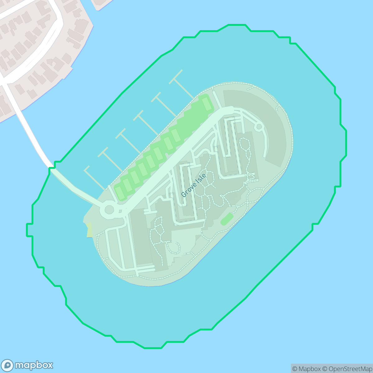
Fair Isle, also known as Grove Isle, is a secluded waterfront community defined by its residential high-rise towers and quiet, suburban atmosphere. While the area offers a peaceful environment with minimal industrial presence, residents often experience elevated noise levels from nearby transit corridors and should be aware of significant flood risks.
Key Highlights
About Fair Isle
Fair Isle, now widely known as Grove Isle, was created in 1924 through the dredging of Biscayne Bay during the Florida Land Boom. Originally intended for rapid development, the island's progress was stalled for decades by economic downturns and legal challenges. In the 1970s, the island became the center of a significant legal battle between developers and Coconut Grove residents concerned about overdevelopment. This conflict culminated in a 1977 settlement agreement with the City of Miami, which strictly limited the scale of construction and defined the island's current character. Today, the island is recognized for its residential towers and its history as a secluded, master-planned community that emerged from a compromise between urban expansion and local preservation efforts.
The neighborhood functions as a quiet retreat from the dense energy of Miami, maintaining a suburban feel that balances waterfront living with a diverse population of families, seniors, and professionals. The lack of heavy industry ensures a consistent focus on residential tranquility, though the proximity to major roadways contributes to a louder acoustic environment than one might expect from such a secluded island. According to iHuus data, the area provides an even distribution of street infrastructure and green space, supporting a lifestyle that prioritizes privacy over commercial activity.
Prospective residents should consider the environmental realities of the area, including poor air quality and high flood vulnerability. While the grid layout and tree-lined streets offer pleasant walking opportunities, the limited availability of large-scale pet amenities and the absence of continuous pedestrian infrastructure are notable factors. The area falls within the Dade County School District, which provides access to elite magnet programs despite facing broader budgetary and enrollment challenges that impact the wider region.
Neighborhood Scores Across 15 Qualities
Residential spacing is generally moderate with some buffer between neighbors, though high-rise structures in certain areas reduce private distance. This level of density is roughly comparable to the Miami average according to iHuus data.
Low traffic volumes and a grid layout make for pleasant strolls, though the lack of continuous sidewalks makes it less walkable than much of Miami. Newer developments within the area feature improved pedestrian infrastructure according to iHuus data.
Standard tract housing with modest yards characterizes much of the area, though certain waterfront sections feature manicured estates and private docks. According to iHuus data, the overall visual landscape is slightly below the Miami average.
Tree-lined streets and green verges provide some shaded walking areas, but the small size of local public parks makes this area less dog friendly than much of Miami. According to iHuus data, pet owners may find fewer large-scale recreational spaces for dogs compared to other parts of the city.
Residential density varies between waterfront high-rise towers and compact single-family homes, creating a suburban landscape that is slightly more developed than the Miami average. According to iHuus data, this balance provides an even distribution of street infrastructure and green space.
Activity levels are notably lower than the Miami average, as this coastal area prioritizes a subdued atmosphere over dense commercial energy. While some pockets offer walkable dining and healthcare access, much of the neighborhood remains focused on residential tranquility.
Frequent disturbances from nearby major roadways and transit corridors make this area significantly louder than most parts of Miami. According to iHuus data, the proximity to high-traffic infrastructure results in diminished acoustic comfort.
Frequent unhealthy air quality levels pose a significant risk to sensitive groups; this neighborhood performs worse than the Miami average according to iHuus data.
Residential and recreational spaces dominate this area, with no significant heavy industry or hazardous facilities present. According to iHuus data, the neighborhood maintains a lower level of industrial activity than the Miami average.
Health insurance access among residents is exceptionally high, significantly surpassing the average found across Miami. According to iHuus data, nearly all inhabitants are covered by a health plan.
Political leanings in this area trend toward the liberal side, representing a more progressive tilt than the Miami average according to iHuus data.
Residents live alongside a balanced mix of young professionals, families, and seniors. This demographic spread is notably more varied than the city average according to iHuus data.
Located within a designated floodplain, this area faces significantly higher flood risks than the Miami average. Residents should prepare for potential inundation and likely requirements for flood insurance according to iHuus data.
Address-Level Insights for Fair Isle


iHuus Neighborhood Intelligence Insights
Get address-level neighborhood insights for Fair Isle
- Street-level scores — see how individual blocks compare, not just neighborhood averages
- Micro-zone boundaries — identify quiet pockets, flood boundaries, and walkable clusters before you visit
- 15 dimensions in full — walkability, noise, air quality, school quality, insurance coverage, population age profile, urban/rural index, and more
- Boundary risk alerts — know if your address sits near a block boundary where scores drop, the kind of detail no listing will ever mention
- School insights — individual school ratings and insights, not just district-level data
- Compare before you commit — side-by-side data across neighborhoods, down to block precision
No credit card required
Compare with Any Neighborhood
| Dimension | Fair Isle | Alameda - West Flagler |
|---|---|---|
| 🚶 Walkabilityavg 6.81 | ||
| 🔊 Acoustic Comfortavg 3.72 | ||
| 🤫 Privacy Indexavg 4.25 | ||
| 🎨 Visual Appealavg 6.05 | ||
| 🐕 Dog Friendlinessavg 4.71 | ||
| 🗺️ Urban-Rural Indexavg 5.07 | ||
| ✨ Neighborhood Vibeavg 4.83 | ||
| 🏥 Health Insurance Coverageavg 4.76 | ||
| 🌿 Air Qualityavg 3.78 | ||
| 🏭 Industrial Proximityavg 6.31 | ||
| 🌊 Flood Safetyavg 3.97 | ||
| 🗳️ Ideological Leanavg 4.66 | ||
| 👥 Population Age Profileavg 4.38 | ||
| 🔥 Fire Safety | ||
| 🏫 School Quality |
Fair Isle Rankings
School Districts Serving Fair Isle
School Insights for Fair Isle
Below average outcomes; significant attendance and academic challenges.
School Insights
See what's really behind every school rating near Fair Isle
- Individual school ratings — each school's own score with outcome context, not just a district average
- Enrollment & class size data — student-to-teacher ratio and how it compares to the state average
- Full demographics breakdown — ethnicity and gender composition for every school in the enrollment zone
- Every school in the district — all schools within the enrollment boundary ranked by rating, not just the closest one
- Grade levels & benchmarks — elementary through high school, with below/above state-average flags
No credit card required