West End Cap, West Sacramento
Updated June 22, 2026 · 398 residents
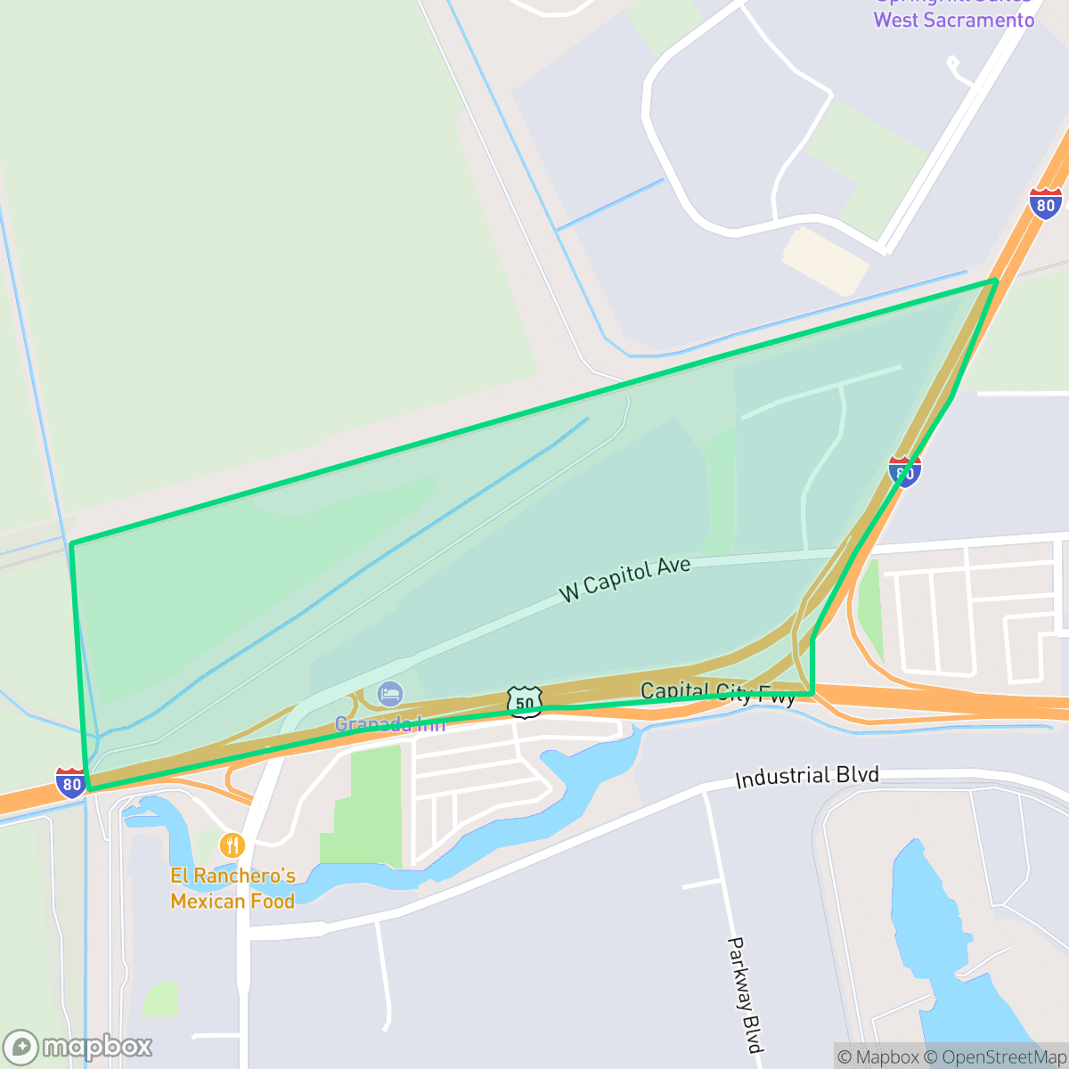
West End Cap is an industrial-focused area in West Sacramento characterized by large logistics hubs, warehouses, and extensive paved infrastructure. The neighborhood experiences significant noise from nearby road and rail traffic, and it remains a car-dependent environment with limited pedestrian accessibility.
Key Highlights
About West End Cap
The neighborhood functions primarily as a logistics and industrial corridor, dominated by large-footprint warehouses, freight distribution centers, and heavy equipment yards. Its landscape is defined by vast paved areas and proximity to major transportation arteries, which facilitate significant commercial activity. While the area features pockets of undeveloped rural land, its core identity is tied to its role in regional freight and industrial operations.
Living in this area involves significant trade-offs, particularly regarding acoustic comfort and walkability. Residents will encounter high noise levels from road and rail traffic, and the environment is not designed for pedestrians or pet owners. The area is best suited for those requiring proximity to industrial workplaces, as it lacks typical residential amenities and maintains a low privacy profile due to its commercial density.
Neighborhood Scores Across 15 Qualities
Homes in this area are positioned closely together with minimal separation between structures. This level of residential density is notably higher than the average found across West Sacramento.
Limited sidewalk availability and heavy traffic flow make pedestrian travel uncomfortable. This area is significantly less walkable than the West Sacramento average, according to iHuus data.
Standard tract housing characterizes the area with boxy rooflines and modest yards. This level of visual variety is notably lower than the average seen throughout West Sacramento, according to iHuus data.
Limited access to public parks and narrow greenery make pet walking more challenging here. According to iHuus data, the availability of dog-friendly spaces is notably lower than the West Sacramento average.
Large-scale warehouses and industrial zones coexist with agricultural fields and undeveloped land. This area is slightly less rural than the West Sacramento average, as noted by iHuus data.
Low activity levels and industrial surroundings characterize this area, which offers a quieter environment than the West Sacramento average. Residents can find balance between green spaces like Meadowdale Park and essential services, though the landscape remains largely car-dependent due to the presence of warehouses and freight corridors.
Constant noise from nearby airport runways and heavy rail lines defines the acoustic environment. This level of sound disturbance is significantly higher than the average for West Sacramento.
Air quality fluctuates between acceptable and unhealthy levels, presenting occasional concerns for sensitive groups. This level of air quality is slightly lower than the West Sacramento average, according to iHuus data.
Large logistics hubs and heavy distribution activity featuring significant semi-truck traffic are present alongside residential areas. This level of industrial proximity is notably higher than the West Sacramento average, according to iHuus data.
Health insurance access is exceptionally high among residents, significantly outperforming the West Sacramento average according to iHuus data.
Political leanings in this area are strongly liberal, though slightly less so than the West Sacramento city average according to iHuus data.
Residents will find a diverse demographic spread including young professionals, families, and seniors. This age distribution is slightly more varied than the average seen across West Sacramento, according to iHuus data.
Residual flood risk exists within this area as it sits inside a 500-year floodplain; however, safety levels remain slightly above the West Sacramento average according to iHuus data.
Block-Level Insights for West End Cap

iHuus Neighborhood Intelligence Insights
Get block-level neighborhood insights for West End Cap
- Street-level scores — see how individual blocks compare, not just neighborhood averages
- Micro-zone boundaries — identify quiet pockets, flood boundaries, and walkable clusters before you visit
- 15 dimensions in full — walkability, noise, air quality, school quality, insurance coverage, population age profile, urban/rural index, and more
- Boundary risk alerts — know if your address sits near a block boundary where scores drop, the kind of detail no listing will ever mention
- School insights — individual school ratings and insights, not just district-level data
- Compare before you commit — side-by-side data across neighborhoods, down to block precision
No credit card required
Compare with Any Neighborhood
| Dimension | West End Cap | Broderrick/Bryte |
|---|---|---|
| 🚶 Walkabilityavg 8.33 | ||
| 🔊 Acoustic Comfortavg 4.31 | ||
| 🤫 Privacy Indexavg 5.47 | ||
| 🎨 Visual Appealavg 6.52 | ||
| 🐕 Dog Friendlinessavg 7.26 | ||
| 🗺️ Urban-Rural Indexavg 6.86 | ||
| ✨ Neighborhood Vibeavg 3.48 | ||
| 🏥 Health Insurance Coverageavg 7.88 | ||
| 🌿 Air Qualityavg 6.1 | ||
| 🏭 Industrial Proximityavg 7.34 | ||
| 🌊 Flood Safetyavg 7.06 | ||
| 🗳️ Ideological Leanavg 8.96 | ||
| 👥 Population Age Profileavg 4.78 | ||
| 🔥 Fire Safety | ||
| 🏫 School Quality |
West End Cap Rankings
School Districts Serving West End Cap
Washington Unified School District is a 'Mixed/Transition' organization characterized by a sharp disparity between its prestigious specialized pathways and its struggling neighborhood elementary schools. While the district earns high marks for its innovative 'Home Run' initiative and Career Technical Education (CTE) programs—which maintain strong community support—it is currently hampered by significant academic gaps, with nearly 30% of its schools rated 2/10 or lower. Operational stability is tested by projected budget shortfalls and high teacher turnover, creating a bifurcated environment where specialized students thrive while the broader student body faces inconsistent safety and academic rigor. The district remains a viable option due to its strong terminal programs, but it lacks the systemic excellence required for a higher stability rating.
Schools
School Insights for West End Cap
Below average outcomes; significant attendance and academic challenges.
School Insights
See what's really behind every school rating near West End Cap
- Individual school ratings — each school's own score with outcome context, not just a district average
- Enrollment & class size data — student-to-teacher ratio and how it compares to the state average
- Full demographics breakdown — ethnicity and gender composition for every school in the enrollment zone
- Every school in the district — all schools within the enrollment boundary ranked by rating, not just the closest one
- Grade levels & benchmarks — elementary through high school, with below/above state-average flags
No credit card required