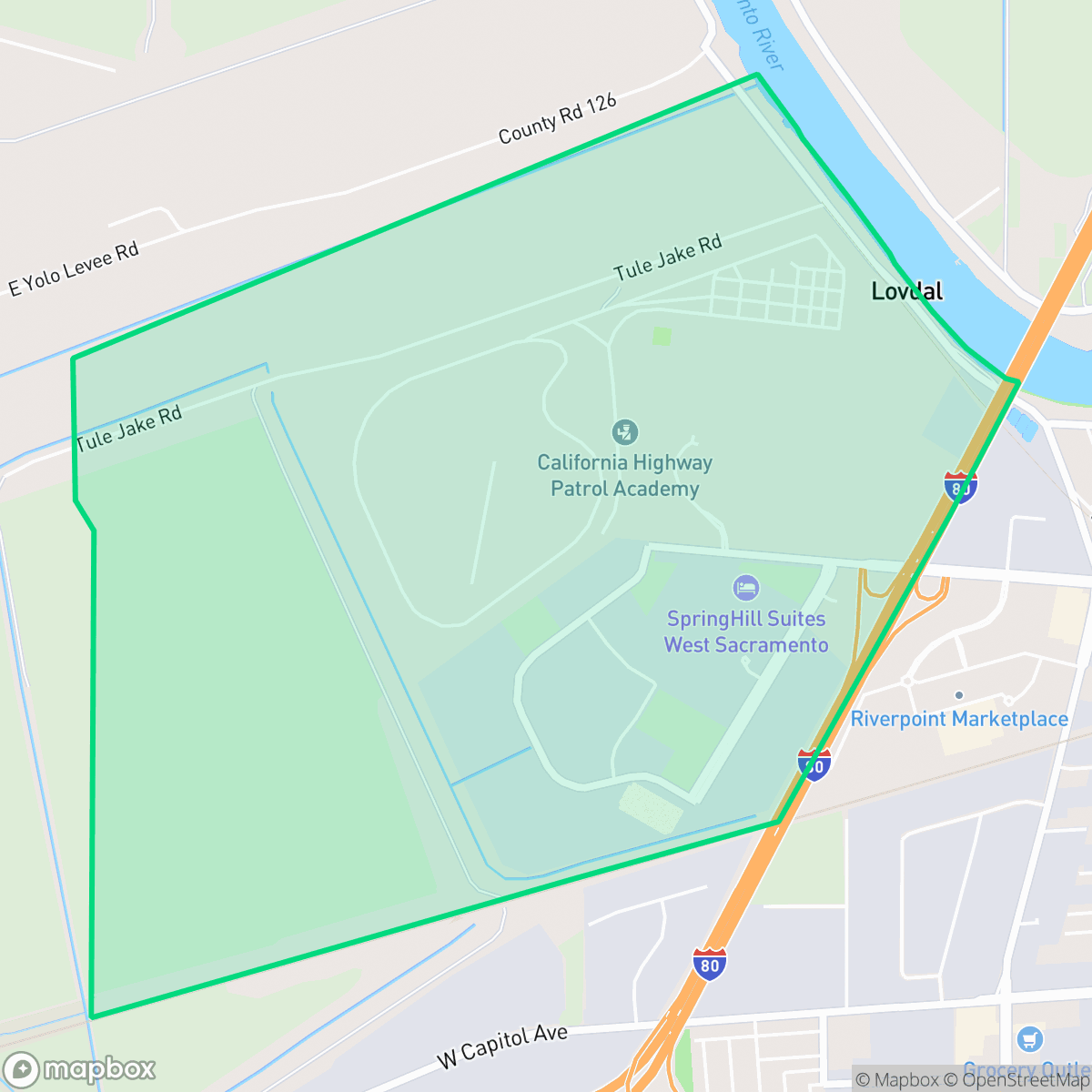
Riverside/CHP, West Sacramento
Updated June 22, 2026 · 201 residents
Riverside/CHP is a quiet, functional enclave in West Sacramento defined by its industrial landscape and proximity to major transit corridors. While the area offers a modest suburban aesthetic with a diverse demographic, residents must contend with significant noise from nearby freeways and railroad tracks.
Key Highlights
About Riverside/CHP
Riverside/CHP functions as a blend of residential blocks and industrial zones, characterized by warehouse facilities and expansive parking areas. The neighborhood maintains a standard suburban look with boxy architecture and well-kept yards, offering a sense of privacy that is slightly above the city average. Its location near major logistics hubs and utility infrastructure gives the area a distinct industrial character, while pockets of open land provide a semi-rural feel. According to iHuus data, the area remains a quiet and functional environment that maintains a consistent, if modest, visual landscape.
Living in this area requires navigating specific trade-offs, particularly regarding noise levels from nearby rail and freeway traffic. Pedestrian infrastructure is limited, making the area largely car-dependent despite the quiet nature of the streets. Prospective residents should also be aware of the uncertain flood risk profile and the need to research local school district options, as both the Washington Unified and Woodland Joint Unified school districts present varied academic outcomes and ongoing administrative transitions.
Neighborhood Scores Across 15 Qualities
Residential spacing provides a moderate level of separation between neighbors, which is slightly higher than the West Sacramento average according to iHuus data.
Quiet streets allow for easy walking, but the lack of sidewalks makes navigation less convenient than in many other parts of West Sacramento. According to iHuus data, pedestrian infrastructure in this area is below the city average.
Residential streets feature consistent, boxy architecture and modest, well-maintained yards. This area offers a simpler visual landscape compared to the greater West Sacramento area.
Access to public parks and wide green verges is relatively sparse in this area, falling below the West Sacramento average. Residents may find fewer dedicated options for walking dogs compared to other parts of the city.
Large warehouse footprints and expansive parking lots characterize much of the area, though some pockets maintain a semi-rural feel with open fields and sparse housing. This landscape of industrial zones and undeveloped land is consistent with the broader West Sacramento average.
Industrial warehouses and freight corridors create a subdued, car-dependent atmosphere that is slightly less active than the West Sacramento average. While some pockets offer local dining and green space, much of the area is characterized by low-density residential blocks and minimal commercial density.
Frequent noise from nearby freeway traffic and railroad tracks makes this area significantly louder than the West Sacramento average, according to iHuus data.
Air quality in this area fluctuates between acceptable and unhealthy levels, mirroring the typical conditions found across West Sacramento. Residents in sensitive groups may experience occasional concern during certain periods.
Large logistics hubs and utility infrastructure are located near the freeway and riverfront. According to iHuus data, the presence of heavy distribution activity and warehouse docking bays is more pronounced here than the West Sacramento average.
Health insurance coverage levels in this area are notably lower than the West Sacramento average, according to iHuus data.
Political leanings in this area are largely liberal, though the neighborhood is slightly less progressive than the West Sacramento city average according to iHuus data.
A balanced mix of young professionals, families, and seniors resides here, representing a demographic spread slightly more varied than the West Sacramento average.
Flood risk levels for this area are notably higher than the West Sacramento average, as FEMA has not yet completed a detailed flood study for this specific location. Residents should account for this lack of definitive data when evaluating long-term property safety.
Block-Level Insights for Riverside/CHP

iHuus Neighborhood Intelligence Insights
Get block-level neighborhood insights for Riverside/CHP
- Street-level scores — see how individual blocks compare, not just neighborhood averages
- Micro-zone boundaries — identify quiet pockets, flood boundaries, and walkable clusters before you visit
- 15 dimensions in full — walkability, noise, air quality, school quality, insurance coverage, population age profile, urban/rural index, and more
- Boundary risk alerts — know if your address sits near a block boundary where scores drop, the kind of detail no listing will ever mention
- School insights — individual school ratings and insights, not just district-level data
- Compare before you commit — side-by-side data across neighborhoods, down to block precision
No credit card required
Compare with Any Neighborhood
| Dimension | Riverside/CHP | Broderrick/Bryte |
|---|---|---|
| 🚶 Walkabilityavg 8.33 | ||
| 🔊 Acoustic Comfortavg 4.31 | ||
| 🤫 Privacy Indexavg 5.47 | ||
| 🎨 Visual Appealavg 6.52 | ||
| 🐕 Dog Friendlinessavg 7.26 | ||
| 🗺️ Urban-Rural Indexavg 6.86 | ||
| ✨ Neighborhood Vibeavg 3.48 | ||
| 🏥 Health Insurance Coverageavg 7.88 | ||
| 🌿 Air Qualityavg 6.1 | ||
| 🏭 Industrial Proximityavg 7.34 | ||
| 🌊 Flood Safetyavg 7.06 | ||
| 🗳️ Ideological Leanavg 8.96 | ||
| 👥 Population Age Profileavg 4.78 | ||
| 🔥 Fire Safety | ||
| 🏫 School Quality |
Riverside/CHP Rankings
School Districts Serving Riverside/CHP
Washington Unified School District is a 'Mixed/Transition' organization characterized by a sharp disparity between its prestigious specialized pathways and its struggling neighborhood elementary schools. While the district earns high marks for its innovative 'Home Run' initiative and Career Technical Education (CTE) programs—which maintain strong community support—it is currently hampered by significant academic gaps, with nearly 30% of its schools rated 2/10 or lower. Operational stability is tested by projected budget shortfalls and high teacher turnover, creating a bifurcated environment where specialized students thrive while the broader student body faces inconsistent safety and academic rigor. The district remains a viable option due to its strong terminal programs, but it lacks the systemic excellence required for a higher stability rating.
Schools
Woodland Joint Unified School District is a 'Mixed' system characterized by a wide gap between its high-performing elementary schools and its struggling secondary and specialized programs. While the district maintains strong community cultural programs and a 'B' grade for diversity, it faces significant headwinds including the failure of its 2025 facility bond measure, ongoing labor disputes, and poor proficiency rates in core subjects. The organization is currently in a state of transition, struggling to balance administrative costs with the need for improved student support services and special education compliance.
Schools
School Insights for Riverside/CHP
Below average outcomes; significant attendance and academic challenges.
School Insights
See what's really behind every school rating near Riverside/CHP
- Individual school ratings — each school's own score with outcome context, not just a district average
- Enrollment & class size data — student-to-teacher ratio and how it compares to the state average
- Full demographics breakdown — ethnicity and gender composition for every school in the enrollment zone
- Every school in the district — all schools within the enrollment boundary ranked by rating, not just the closest one
- Grade levels & benchmarks — elementary through high school, with below/above state-average flags
No credit card required