Riverfront, West Sacramento
Updated June 22, 2026 · 632 residents
The Riverfront neighborhood is a developing urban area defined by its proximity to Sutter Health Park and the Sacramento River. While it offers a central location, residents experience significant noise from nearby traffic and railways, alongside a car-dependent environment. According to iHuus data, the area features a blend of modern commercial spaces and legacy industrial infrastructure.
Key Highlights
About Riverfront
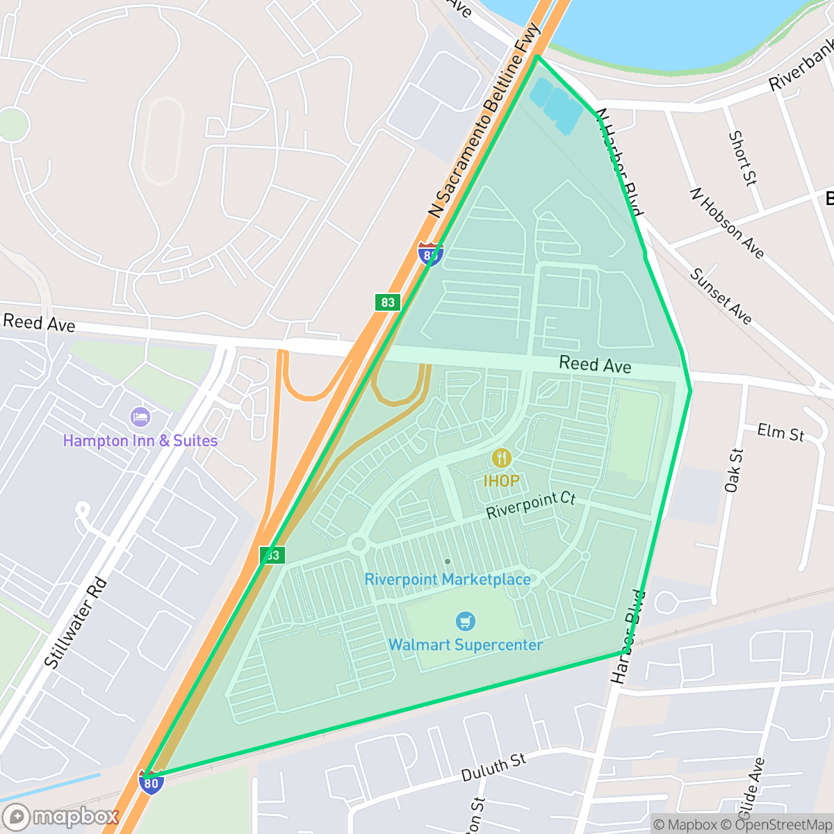
The Riverfront neighborhood of West Sacramento, historically known as the Triangle and now largely developed as the Bridge District, was once a bustling industrial hub. For nearly a century, this 188-acre waterfront area was dominated by rice mills, warehouses, and rail lines. Its modern transformation began with the adoption of the Triangle Specific Plan in 1993, aiming to transition the industrial zone into a walkable, mixed-use urban neighborhood. A major catalyst for this redevelopment was the opening of Sutter Health Park (originally Raley Field) in 2000, home to the Sacramento River Cats. Today, the neighborhood is defined by contemporary architecture, the iconic CalSTRS headquarters tower (the city's tallest building), the curvilinear wooden structure known as "The Barn", and public spaces like River Walk Park.
The area functions as a bridge between the historic industrial roots of West Sacramento and a modern, mixed-use future. It is characterized by a landscape of large commercial warehouses and retail centers that sit alongside newer, high-density residential projects. The neighborhood maintains a higher level of activity than many surrounding areas, driven by its proximity to regional transit arteries and local social hubs. Residents benefit from high health insurance coverage rates and a stable, albeit complex, local political environment.
Living here requires an adjustment to a high-noise environment, as road traffic and rail activity contribute to an average sound level of 70 decibels. Walkability is limited, making vehicle ownership a practical necessity for daily errands. The local Washington Unified School District provides access to specialized career and technical education programs, though the district faces challenges regarding academic consistency across its elementary schools. The neighborhood is best suited for those who prioritize proximity to the Sacramento metropolitan core over quiet, low-density residential living.
Neighborhood Scores Across 15 Qualities
Residential spacing is mixed, providing some buffer between neighbors though density remains comparable to the West Sacramento average according to iHuus data.
Low traffic volumes make for peaceful strolls, though a lack of sidewalks makes navigating the area less convenient than the West Sacramento average.
Standard tract housing defines much of the area, featuring boxy rooflines and tidy but small yards. This visual landscape is less varied than the average for West Sacramento, according to iHuus data.
Access to dedicated dog parks and wide green verges is below the West Sacramento average. According to iHuus data, pet owners may find fewer opportunities for off-leash exercise within this immediate area.
Extensive warehouse districts, large-scale commercial parking, and industrial clusters define this area. This landscape is slightly more developed and urbanized than the average West Sacramento neighborhood, according to iHuus data.
Functional mixed-use blocks provide a consistent level of activity that is slightly more active than the West Sacramento average. Residents can find a balance of light industrial zones, green spaces, and accessible dining, though the area remains largely car-dependent.
Frequent loud disturbances from nearby airport runways and heavy rail lines create an environment significantly noisier than the West Sacramento average. Residents can expect constant acoustic disruptions according to iHuus data.
Air quality fluctuates between acceptable and unhealthy levels, presenting occasional concerns for sensitive groups. This condition is largely consistent with the average seen across West Sacramento.
Largely residential and light commercial in nature, this area features fewer heavy industrial operations than the West Sacramento average. While some warehouses and utility infrastructure exist near the river and freeway, residents are mostly distanced from massive logistics hubs.
Health insurance enrollment among residents is lower than the West Sacramento average, according to iHuus data.
Political leanings in this area align closely with the broader West Sacramento community, characterized by a significant liberal majority. According to iHuus data, the ideological landscape is very similar to the city average.
Residents live alongside a balanced mix of young adults, families, and older individuals. This demographic spread is consistent with the overall average for West Sacramento.
Flood risk levels in this area are higher than the West Sacramento average, as official FEMA studies for this specific location remain incomplete. Residents should note that the precise level of vulnerability is currently undetermined.
Block-Level Insights for Riverfront

iHuus Neighborhood Intelligence Insights
Get block-level neighborhood insights for Riverfront
- Street-level scores — see how individual blocks compare, not just neighborhood averages
- Micro-zone boundaries — identify quiet pockets, flood boundaries, and walkable clusters before you visit
- 15 dimensions in full — walkability, noise, air quality, school quality, insurance coverage, population age profile, urban/rural index, and more
- Boundary risk alerts — know if your address sits near a block boundary where scores drop, the kind of detail no listing will ever mention
- School insights — individual school ratings and insights, not just district-level data
- Compare before you commit — side-by-side data across neighborhoods, down to block precision
No credit card required
Compare with Any Neighborhood
| Dimension | Riverfront | Broderrick/Bryte |
|---|---|---|
| 🚶 Walkabilityavg 8.33 | ||
| 🔊 Acoustic Comfortavg 4.31 | ||
| 🤫 Privacy Indexavg 5.47 | ||
| 🎨 Visual Appealavg 6.52 | ||
| 🐕 Dog Friendlinessavg 7.26 | ||
| 🗺️ Urban-Rural Indexavg 6.86 | ||
| ✨ Neighborhood Vibeavg 3.48 | ||
| 🏥 Health Insurance Coverageavg 7.88 | ||
| 🌿 Air Qualityavg 6.1 | ||
| 🏭 Industrial Proximityavg 7.34 | ||
| 🌊 Flood Safetyavg 7.06 | ||
| 🗳️ Ideological Leanavg 8.96 | ||
| 👥 Population Age Profileavg 4.78 | ||
| 🔥 Fire Safety | ||
| 🏫 School Quality |
Riverfront Rankings
School Districts Serving Riverfront
Washington Unified School District is a 'Mixed/Transition' organization characterized by a sharp disparity between its prestigious specialized pathways and its struggling neighborhood elementary schools. While the district earns high marks for its innovative 'Home Run' initiative and Career Technical Education (CTE) programs—which maintain strong community support—it is currently hampered by significant academic gaps, with nearly 30% of its schools rated 2/10 or lower. Operational stability is tested by projected budget shortfalls and high teacher turnover, creating a bifurcated environment where specialized students thrive while the broader student body faces inconsistent safety and academic rigor. The district remains a viable option due to its strong terminal programs, but it lacks the systemic excellence required for a higher stability rating.
Schools
School Insights for Riverfront
Below average outcomes; significant attendance and academic challenges.
School Insights
See what's really behind every school rating near Riverfront
- Individual school ratings — each school's own score with outcome context, not just a district average
- Enrollment & class size data — student-to-teacher ratio and how it compares to the state average
- Full demographics breakdown — ethnicity and gender composition for every school in the enrollment zone
- Every school in the district — all schools within the enrollment boundary ranked by rating, not just the closest one
- Grade levels & benchmarks — elementary through high school, with below/above state-average flags
No credit card required