PSIP, West Sacramento
Updated June 22, 2026 · 638 residents
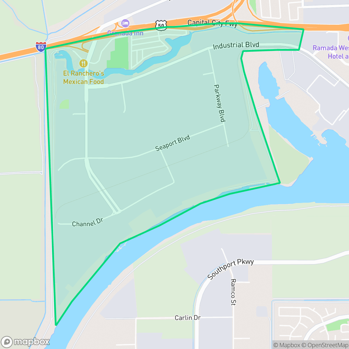
PSIP is a quiet, industrial-heavy neighborhood in West Sacramento characterized by large-scale logistics facilities, warehouses, and freight corridors. The area offers limited walkability and high levels of ambient road noise, making it a functional, utilitarian space rather than a residential destination.
Key Highlights
About PSIP
PSIP functions primarily as a logistics and industrial hub within West Sacramento. The landscape is dominated by large warehouse footprints, paved lots, and significant freight traffic associated with nearby highways and rail lines. While the area contains pockets of manufactured housing, the environment is largely defined by its industrial character, with minimal local commercial activity or leisure space available to residents.
Residents in this area face distinct livability trade-offs, particularly regarding acoustic comfort and walkability. The proximity to major transit routes results in high noise levels, and the lack of pedestrian infrastructure makes the neighborhood difficult to navigate without a vehicle. While the area offers high rates of health insurance coverage and a stable flood safety profile, the lack of community amenities and the industrial-centric design make it better suited for those prioritizing proximity to work in logistics or industrial sectors rather than traditional suburban living.
Neighborhood Scores Across 15 Qualities
Residential lots feature close proximity between detached homes, resulting in less privacy than the West Sacramento average. According to iHuus data, houses are often separated by narrow gaps of less than ten feet.
Limited sidewalk availability and heavy traffic flow make pedestrian travel uncomfortable; this level of walkability is significantly lower than the West Sacramento average.
Standard tract housing with boxy rooflines and small yards defines the local landscape. According to iHuus data, this lack of architectural variety makes the area less visually diverse than the West Sacramento average.
Access to public parks and expansive green spaces for pets is significantly lower than the West Sacramento average. According to iHuus data, this area lacks the widespread verges and direct park connections found elsewhere in the city.
Large-scale warehouses and logistics hubs characterize the landscape, though some areas remain adjacent to agricultural fields and riverfront open space. This mix of heavy industrial development and vast open land is slightly less rural than the West Sacramento average, according to iHuus data.
Limited commercial activity and a predominance of warehouses and freight corridors result in a much lower level of local activity than the West Sacramento average. Residents will find a quiet, suburban landscape with very few local businesses or social destinations available nearby.
Constant noise from nearby airport runways and heavy rail lines makes this area significantly louder than the West Sacramento average. According to iHuus data, this lack of acoustic comfort makes the neighborhood unsuitable for those seeking a quiet environment.
Air quality in this area is slightly below the West Sacramento average. Residents may experience occasional periods of poor air quality that could affect sensitive groups, according to iHuus data.
Large logistics hubs and warehouse operations featuring significant semi-truck traffic and loading docks are present alongside residential areas. This level of industrial activity is notably higher than the West Sacramento average, according to iHuus data.
Health insurance access is exceptionally high in this area, significantly outpacing the West Sacramento average according to iHuus data.
Political leanings in this area are largely liberal, though the neighborhood exhibits slightly less progressive concentration than the West Sacramento average according to iHuus data.
Residents live alongside a balanced variety of young adults, families, and older individuals. This demographic spread is slightly more diverse than the average seen across West Sacramento.
Residual flood risk exists within this area due to its location in the 500-year floodplain, though safety levels remain higher than the West Sacramento average according to iHuus data.
Block-Level Insights for PSIP

iHuus Neighborhood Intelligence Insights
Get block-level neighborhood insights for PSIP
- Street-level scores — see how individual blocks compare, not just neighborhood averages
- Micro-zone boundaries — identify quiet pockets, flood boundaries, and walkable clusters before you visit
- 15 dimensions in full — walkability, noise, air quality, school quality, insurance coverage, population age profile, urban/rural index, and more
- Boundary risk alerts — know if your address sits near a block boundary where scores drop, the kind of detail no listing will ever mention
- School insights — individual school ratings and insights, not just district-level data
- Compare before you commit — side-by-side data across neighborhoods, down to block precision
No credit card required
Compare with Any Neighborhood
| Dimension | PSIP | Broderrick/Bryte |
|---|---|---|
| 🚶 Walkabilityavg 8.33 | ||
| 🔊 Acoustic Comfortavg 4.31 | ||
| 🤫 Privacy Indexavg 5.47 | ||
| 🎨 Visual Appealavg 6.52 | ||
| 🐕 Dog Friendlinessavg 7.26 | ||
| 🗺️ Urban-Rural Indexavg 6.86 | ||
| ✨ Neighborhood Vibeavg 3.48 | ||
| 🏥 Health Insurance Coverageavg 7.88 | ||
| 🌿 Air Qualityavg 6.1 | ||
| 🏭 Industrial Proximityavg 7.34 | ||
| 🌊 Flood Safetyavg 7.06 | ||
| 🗳️ Ideological Leanavg 8.96 | ||
| 👥 Population Age Profileavg 4.78 | ||
| 🔥 Fire Safety | ||
| 🏫 School Quality |
PSIP Rankings
School Districts Serving PSIP
Washington Unified School District is a 'Mixed/Transition' organization characterized by a sharp disparity between its prestigious specialized pathways and its struggling neighborhood elementary schools. While the district earns high marks for its innovative 'Home Run' initiative and Career Technical Education (CTE) programs—which maintain strong community support—it is currently hampered by significant academic gaps, with nearly 30% of its schools rated 2/10 or lower. Operational stability is tested by projected budget shortfalls and high teacher turnover, creating a bifurcated environment where specialized students thrive while the broader student body faces inconsistent safety and academic rigor. The district remains a viable option due to its strong terminal programs, but it lacks the systemic excellence required for a higher stability rating.
Schools
School Insights for PSIP
Below average outcomes; significant attendance and academic challenges.
School Insights
See what's really behind every school rating near PSIP
- Individual school ratings — each school's own score with outcome context, not just a district average
- Enrollment & class size data — student-to-teacher ratio and how it compares to the state average
- Full demographics breakdown — ethnicity and gender composition for every school in the enrollment zone
- Every school in the district — all schools within the enrollment boundary ranked by rating, not just the closest one
- Grade levels & benchmarks — elementary through high school, with below/above state-average flags
No credit card required