Iron Triangle, West Sacramento
Updated June 22, 2026 · 1,353 residents
The Iron Triangle offers a highly walkable urban environment where residential pockets sit alongside active industrial corridors. While the area provides convenient pedestrian infrastructure, residents should expect frequent noise from nearby rail lines and heavy truck traffic.
Key Highlights
About Iron Triangle
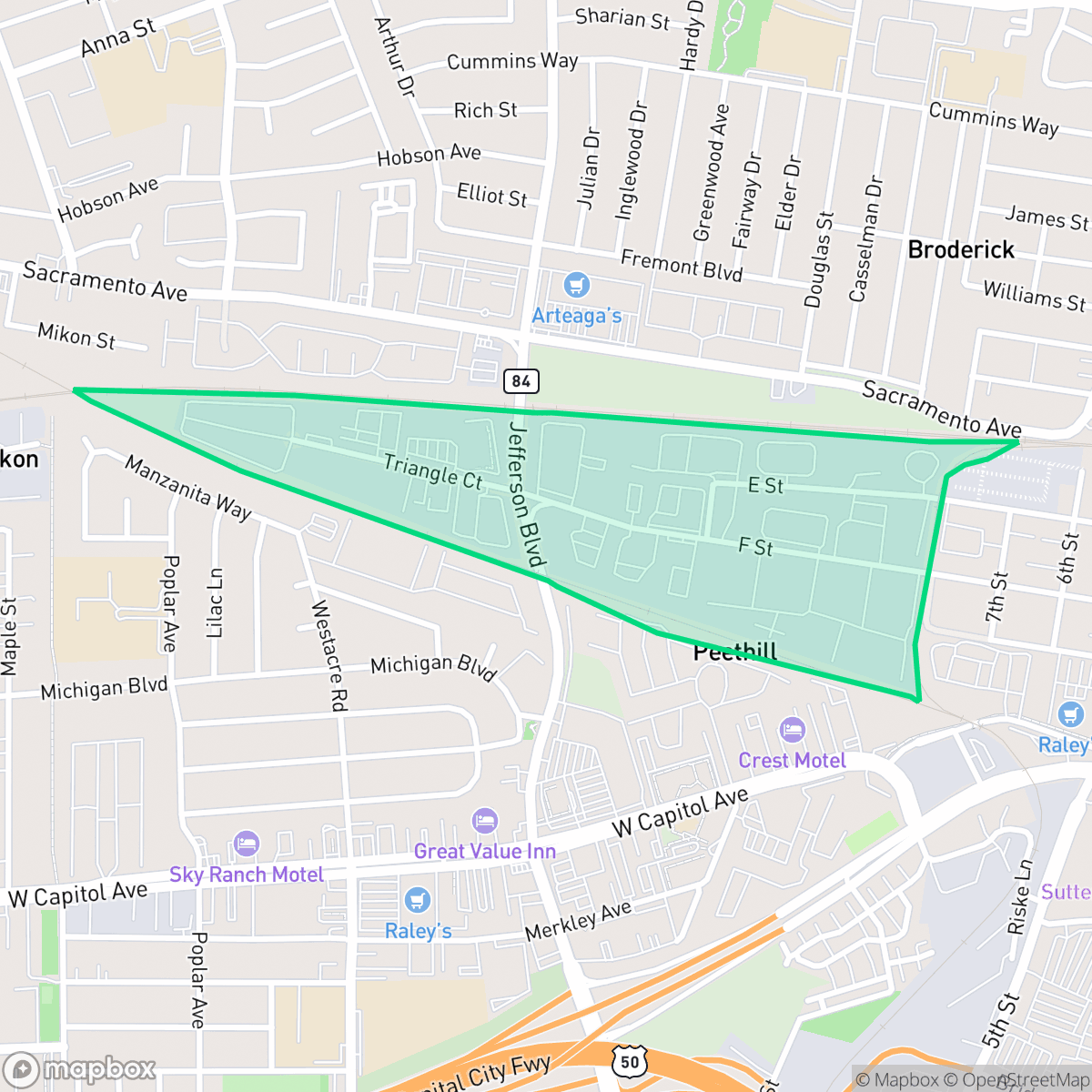
The Iron Triangle in West Sacramento is a distinct 134-acre subarea characterized by a blend of industrial, business, and institutional land uses. Historically serving as a hub for industrial activity, the neighborhood is currently undergoing a significant transition as the City of West Sacramento’s General Plan promotes the conversion of older industrial sites into high-density residential developments. While it retains remnants of its industrial past, the area is strategically positioned adjacent to the Washington/Downtown district, reflecting its evolving role in the city's broader urban redevelopment efforts. Unlike its namesake in Richmond, California, the Iron Triangle in West Sacramento is defined primarily by its ongoing transformation from a legacy industrial zone into a modern, integrated urban community.
The neighborhood functions as a dense, evolving landscape where modest tract housing and mobile home parks share space with large-scale warehouses. Its layout prioritizes pedestrian movement, featuring wide sidewalks and clearly marked crosswalks that connect the residential zones to local amenities. This compact living arrangement results in limited private outdoor space, contributing to an atmosphere that is notably quieter and more subdued than other parts of the city. According to iHuus data, the area maintains a distinct urban-industrial rhythm that sets it apart from more traditional suburban settings.
Prospective residents should consider the trade-offs of living in a transitional industrial zone. The area experiences consistent noise from freight rail and freeway traffic, and pet owners may find limited green space for exercise. While the local school district offers specialized pathways and career technical programs, families should be aware of the broader academic challenges and budget constraints within the Washington Unified School District. The area is best suited for those who prioritize walkability and proximity to the downtown core over absolute acoustic privacy.
Neighborhood Scores Across 15 Qualities
Residential structures are frequently positioned closely together, featuring shared apartment courtyards and minimal gaps between houses. This level of density is higher than the West Sacramento average, according to iHuus data.
Wide sidewalks and clearly marked crosswalks exist throughout both residential and commercial zones. Pedestrian accessibility here is above the West Sacramento average, providing a continuous network for those traveling on foot.
Uniform tract housing and mobile home parks define the local landscape. The area features simple rooflines and small yards, which is slightly below the West Sacramento average for visual variety.
Limited sidewalk verges and few large green spaces make dog walking less convenient here than in the rest of West Sacramento. Some residential blocks offer small park areas and grass fields, but overall pet amenities are below the city average according to iHuus data.
Residential pockets of single-family homes and apartments sit alongside large-scale industrial warehouses. This area features slightly less open land than the West Sacramento average, according to iHuus data.
A mix of light industrial units and railway corridors creates a subdued atmosphere that is slightly more tranquil than the West Sacramento average. While dining options like pizza shops and cafes provide occasional activity, the area remains a primarily quiet, suburban setting.
Frequent noise from nearby freight rail lines and heavy freeway traffic characterizes this area. According to iHuus data, acoustic comfort levels are notably lower than the West Sacramento average.
Air quality in this area fluctuates between acceptable and unhealthy levels. According to iHuus data, these conditions are roughly in line with the West Sacramento average.
Large warehouses and logistics hubs along the northern and southern borders introduce significant truck traffic and noise. This industrial presence is more pronounced here than in most other parts of West Sacramento.
Health insurance access is notably lower here than in the rest of West Sacramento. According to iHuus data, a minority of residents in this area possess coverage.
Voting patterns and census indicators show a predominantly liberal leaning that is slightly more pronounced than the West Sacramento average, according to iHuus data.
A diverse range of residents including young adults, families, and seniors live here, representing a demographic spread that is slightly more even than the West Sacramento average according to iHuus data.
Residual flood risk exists as the area is situated within a 500-year floodplain, though safety levels remain slightly above the West Sacramento average according to iHuus data.
Block-Level Insights for Iron Triangle

iHuus Neighborhood Intelligence Insights
Get block-level neighborhood insights for Iron Triangle
- Street-level scores — see how individual blocks compare, not just neighborhood averages
- Micro-zone boundaries — identify quiet pockets, flood boundaries, and walkable clusters before you visit
- 15 dimensions in full — walkability, noise, air quality, school quality, insurance coverage, population age profile, urban/rural index, and more
- Boundary risk alerts — know if your address sits near a block boundary where scores drop, the kind of detail no listing will ever mention
- School insights — individual school ratings and insights, not just district-level data
- Compare before you commit — side-by-side data across neighborhoods, down to block precision
No credit card required
Compare with Any Neighborhood
| Dimension | Iron Triangle | Broderrick/Bryte |
|---|---|---|
| 🚶 Walkabilityavg 8.33 | ||
| 🔊 Acoustic Comfortavg 4.31 | ||
| 🤫 Privacy Indexavg 5.47 | ||
| 🎨 Visual Appealavg 6.52 | ||
| 🐕 Dog Friendlinessavg 7.26 | ||
| 🗺️ Urban-Rural Indexavg 6.86 | ||
| ✨ Neighborhood Vibeavg 3.48 | ||
| 🏥 Health Insurance Coverageavg 7.88 | ||
| 🌿 Air Qualityavg 6.1 | ||
| 🏭 Industrial Proximityavg 7.34 | ||
| 🌊 Flood Safetyavg 7.06 | ||
| 🗳️ Ideological Leanavg 8.96 | ||
| 👥 Population Age Profileavg 4.78 | ||
| 🔥 Fire Safety | ||
| 🏫 School Quality |
Iron Triangle Rankings
School Districts Serving Iron Triangle
Washington Unified School District is a 'Mixed/Transition' organization characterized by a sharp disparity between its prestigious specialized pathways and its struggling neighborhood elementary schools. While the district earns high marks for its innovative 'Home Run' initiative and Career Technical Education (CTE) programs—which maintain strong community support—it is currently hampered by significant academic gaps, with nearly 30% of its schools rated 2/10 or lower. Operational stability is tested by projected budget shortfalls and high teacher turnover, creating a bifurcated environment where specialized students thrive while the broader student body faces inconsistent safety and academic rigor. The district remains a viable option due to its strong terminal programs, but it lacks the systemic excellence required for a higher stability rating.
Schools
School Insights for Iron Triangle
Below average outcomes; significant attendance and academic challenges.
School Insights
See what's really behind every school rating near Iron Triangle
- Individual school ratings — each school's own score with outcome context, not just a district average
- Enrollment & class size data — student-to-teacher ratio and how it compares to the state average
- Full demographics breakdown — ethnicity and gender composition for every school in the enrollment zone
- Every school in the district — all schools within the enrollment boundary ranked by rating, not just the closest one
- Grade levels & benchmarks — elementary through high school, with below/above state-average flags
No credit card required