Vallejo Neighborhood Intelligence Index
Updated June 22, 2026 · 2 neighborhoods measured
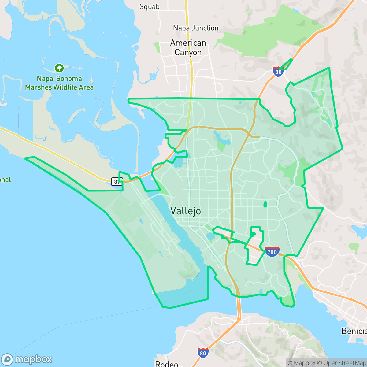
Situated on the shores of San Pablo Bay, Vallejo is a historic waterfront city known for its rich naval heritage at Mare Island and its diverse, working-class roots. Today, residents enjoy exceptional air quality and highly walkable neighborhoods, making daily errands easy to complete on foot. However, the area faces severe environmental challenges, particularly an extreme vulnerability to wildfires and significant flood risks. With its strongly progressive community and active civic spirit, Vallejo is best suited for environmentally conscious, community-oriented residents seeking a historic, well-connected Bay Area home with a distinct coastal identity.
Explore Vallejo by Neighborhood
Vallejo Quality Scores
See how neighborhoods in Vallejo compare on air quality. Rankings are based on measured data aggregated across each neighborhood boundary.
See how neighborhoods in Vallejo compare on dog friendliness. Rankings are based on measured data aggregated across each neighborhood boundary.
See how neighborhoods in Vallejo compare on flood safety. Rankings are based on measured data aggregated across each neighborhood boundary.
See how neighborhoods in Vallejo compare on ideological lean. Rankings are based on measured data aggregated across each neighborhood boundary.
See how neighborhoods in Vallejo compare on industrial proximity. Rankings are based on measured data aggregated across each neighborhood boundary.
See how neighborhoods in Vallejo compare on health insurance coverage. Rankings are based on measured data aggregated across each neighborhood boundary.
See how neighborhoods in Vallejo compare on acoustic comfort. Rankings are based on measured data aggregated across each neighborhood boundary.
See how neighborhoods in Vallejo compare on population age profile. Rankings are based on measured data aggregated across each neighborhood boundary.
See how neighborhoods in Vallejo compare on privacy index. Rankings are based on measured data aggregated across each neighborhood boundary.
See how neighborhoods in Vallejo compare on urban-rural index. Rankings are based on measured data aggregated across each neighborhood boundary.
See how neighborhoods in Vallejo compare on liveliness and vibe. Rankings are based on measured data aggregated across each neighborhood boundary.
See how neighborhoods in Vallejo compare on visual appeal. Rankings are based on measured data aggregated across each neighborhood boundary.
See how neighborhoods in Vallejo compare on walkability. Rankings are based on measured data aggregated across each neighborhood boundary.
Vallejo Neighborhood Rankings

iHuus Neighborhood Intelligence Insights
Get block-level neighborhood insights for Vallejo
- Street-level scores — see how individual blocks compare, not just neighborhood averages
- Micro-zone boundaries — identify quiet pockets, flood boundaries, and walkable clusters before you visit
- 15 dimensions in full — walkability, noise, air quality, school quality, insurance coverage, population age profile, urban/rural index, and more
- Boundary risk alerts — know if your address sits near a block boundary where scores drop, the kind of detail no listing will ever mention
- School insights — individual school ratings and insights, not just district-level data
- Compare before you commit — side-by-side data across neighborhoods, down to block precision
No credit card required