Lakewood, Sunnyvale
Updated June 22, 2026 · 19,773 residents
Lakewood is a dense suburban neighborhood in Sunnyvale defined by its mid-century origins and proximity to major corporate campuses. While the area offers high walkability with consistent sidewalk networks, residents experience significant noise from road traffic and limited privacy due to tightly packed housing.
Key Highlights
About Lakewood
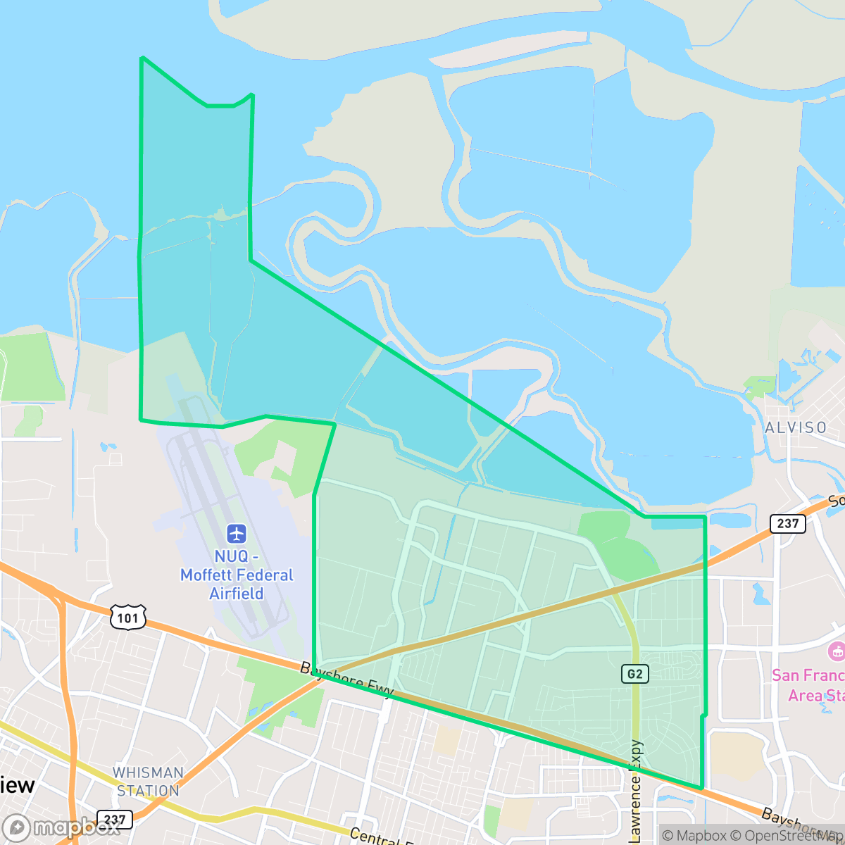
Before its development, the area of Lakewood (historically Lakewood Village) in Sunnyvale, California, was agricultural land that hosted the Santa Clara Valley Airport, a post-World War II airfield used by amateur aviators until 1955. Following the airport's sale, construction of the Lakewood Village residential tract began in 1955 to meet the urgent demand for affordable housing for military and civilian personnel working at nearby Moffett Field. Developed as a mid-century planned community, it eventually comprised around 1,600 single-family homes, featuring popular three-bedroom models like the "Biscayne" and "Nassau". Today, the neighborhood's mid-century character remains anchored by Lawrence Expressway (which split the original development), the Lakewood Village Shopping Center, and the centrally located Lakewood Park.
This neighborhood functions as a dense suburban enclave characterized by a mix of residential tract housing, high-density mobile home parks, and proximity to light industrial and corporate office zones. Its layout reflects a typical Silicon Valley suburban evolution, where established residential areas exist alongside modern commercial infrastructure. Residents benefit from an extensive network of sidewalks and pedestrian paths, making it a relatively accessible area for daily movement despite the presence of major thoroughfares that segment the community. Living in the area involves specific trade-offs, particularly regarding acoustic comfort and privacy. According to iHuus data, the neighborhood experiences elevated noise levels primarily from road traffic, and the high-density nature of the housing stock results in close proximity between neighbors. Prospective residents should also be aware of the nearby industrial presence and associated environmental oversight. This location is best suited for those prioritizing proximity to major technology employers and access to top-rated high schools within the Fremont Union High School District.
Neighborhood Scores Across 15 Qualities
Housing density is higher than the Sunnyvale average, with many structures and manufactured homes positioned very close to one another. Shared walls and narrow setbacks between buildings are common throughout the area, according to iHuus data.
Continuous sidewalks and well-marked crosswalks facilitate easy movement throughout residential and commercial zones, though the nearby highway and large parking lots present some navigational barriers. While highly navigable, the area remains slightly below the Sunnyvale city average for overall walkability.
Functional tract housing and mobile home parks define the landscape, which offers slightly less visual variety than the Sunnyvale average. Residential plots typically feature small yards and shared community amenities rather than large private estates.
Local parks and wide sidewalk verges provide reliable walking routes for pets. This level of dog friendliness is on par with the rest of Sunnyvale.
Residential pockets featuring single-family homes and apartment complexes sit alongside significant industrial zones and large-scale corporate campuses. This balance of built-up areas and nearby open space reflects a landscape that is consistent with the Sunnyvale average.
A primarily quiet and industrial landscape prevails, characterized by a lack of local commercial activity and a reliance on vehicles for most errands. This subdued atmosphere is less active than the Sunnyvale average, with most dining and services requiring a drive.
Frequent noise from nearby freeways and rail lines makes this area significantly louder than the Sunnyvale average, according to iHuus data.
Air quality levels in Lakewood fluctuate between acceptable and unhealthy, matching the typical experience found throughout Sunnyvale. Sensitive groups may encounter occasional periods of concern according to iHuus data.
Residential pockets sit alongside light commercial zones and utility infrastructure, including nearby salt ponds. According to iHuus data, this area has a higher concentration of industrial and utility-related sites compared to the Sunnyvale average.
Health insurance coverage remains high among residents, though it sits slightly below the Sunnyvale city average according to iHuus data.
Voting patterns and census indicators in Lakewood align closely with the broader liberal leaning of Sunnyvale. According to iHuus data, the area exhibits a political landscape that is very similar to the city average.
Residents live alongside a balanced mix of young professionals, families, and seniors. This demographic variety is slightly more evenly distributed than the average seen across Sunnyvale, according to iHuus data.
Properties within this area are located inside a designated 100-year floodplain, which indicates a higher risk of flooding than the Sunnyvale average. According to iHuus data, residents should expect that flood insurance will likely be a standard requirement for homes in this neighborhood.
Block-Level Insights for Lakewood

iHuus Neighborhood Intelligence Insights
Get block-level neighborhood insights for Lakewood
- Street-level scores — see how individual blocks compare, not just neighborhood averages
- Micro-zone boundaries — identify quiet pockets, flood boundaries, and walkable clusters before you visit
- 15 dimensions in full — walkability, noise, air quality, school quality, insurance coverage, population age profile, urban/rural index, and more
- Boundary risk alerts — know if your address sits near a block boundary where scores drop, the kind of detail no listing will ever mention
- School insights — individual school ratings and insights, not just district-level data
- Compare before you commit — side-by-side data across neighborhoods, down to block precision
No credit card required
Compare with Any Neighborhood
| Dimension | Lakewood | Birdland |
|---|---|---|
| 🚶 Walkabilityavg 9.5 | ||
| 🔊 Acoustic Comfortavg 2.69 | ||
| 🤫 Privacy Indexavg 4.94 | ||
| 🎨 Visual Appealavg 6.66 | ||
| 🐕 Dog Friendlinessavg 6.76 | ||
| 🗺️ Urban-Rural Indexavg 6.55 | ||
| ✨ Neighborhood Vibeavg 4.49 | ||
| 🏥 Health Insurance Coverageavg 9.05 | ||
| 🌿 Air Qualityavg 6 | ||
| 🏭 Industrial Proximityavg 7.42 | ||
| 🌊 Flood Safetyavg 3.58 | ||
| 🗳️ Ideological Leanavg 9.69 | ||
| 👥 Population Age Profileavg 4.85 | ||
| 🔥 Fire Safety | ||
| 🏫 School Quality |
Lakewood Rankings
School Districts Serving Lakewood
Fremont Union High School District is a premier 'Blue Chip' organization characterized by exceptional academic results, state-of-the-art facilities, and high community confidence. While it navigates the regional challenges of high housing costs and a 2% annual enrollment decline, the district remains a top-tier destination with high schools that consistently rank in the national top 10%. Administrative stability is reflected in proactive wellness initiatives and successful facility upgrades at Fremont and Homestead. Despite the intense academic pressure reported by students, the district's 'A+' standing, robust extracurricular ecosystem, and fiscal resilience solidify its status as a leading educational entity.
Schools
MVLA is a 'Blue Chip' district characterized by elite academic performance, financial transparency, and modern facility infrastructure. Its terminal high schools are national leaders in STEM and college readiness, supported by a stable tax base and successful local bond measures. While the district faces community debate over curriculum modernization and high-pressure environments, its proactive investment in wellness centers and sustained 'Green' financial audits indicate a highly stable and well-managed organization that remains a primary draw for the region.
Schools
Sunnyvale Elementary School District is a high-performing, financially stable organization that effectively balances traditional academic excellence with forward-looking technology initiatives. While a performance gap exists between its elite 10/10 schools and lower-rated Title I campuses, the district's recent 'California Distinguished School' award for gap-closing efforts and its strategic debt refinancing demonstrate sophisticated operational management. With stable leadership, competitive teacher incentives, and strong community backing in a premier Silicon Valley location, the district remains a highly desirable 'Solid/Stable' entity with clear 'Blue Chip' trajectories in its top-tier neighborhood schools.
Schools
Mountain View Whisman Elementary School District is a high-achieving but bifurcated organization, characterized by prestigious 10/10 campuses and significant pockets of academic struggle at Title I schools. The district is currently navigating a sensitive transition period marked by executive leadership turnover and budgetary adjustments necessitated by declining enrollment and the expiration of one-time state funds. Despite these operational headwinds and an evident achievement gap, the district remains a destination for families due to its strong STEM programs, innovative teacher housing initiatives, and proficiency scores that consistently outperform California benchmarks. It sits firmly as a 'Mixed/Transition' district that possesses the financial baseline of a higher-rated entity but currently lacks the leadership stability and portfolio-wide consistency required for a 'Solid/Stable' designation.
Schools
Santa Clara Unified School District is a high-performing academic entity currently navigating a period of significant fiscal instability. While the district boasts prestigious schools with ratings reaching 10/10 and showing year-over-year gains in state testing, it is grappling with a $30 million budget deficit and a projected enrollment decline. The unanimous board approval of over 100 staff layoffs in early 2026 highlights a necessary but painful 'rightsizing' phase. Despite these financial pressures, the district remains a destination for families due to its robust high school offerings and innovative teacher housing initiatives, though its long-term operational health depends on successfully stabilizing its budget and reserves.
Schools
School Insights for Lakewood
Below average outcomes; significant attendance and academic challenges.
School Insights
See what's really behind every school rating near Lakewood
- Individual school ratings — each school's own score with outcome context, not just a district average
- Enrollment & class size data — student-to-teacher ratio and how it compares to the state average
- Full demographics breakdown — ethnicity and gender composition for every school in the enrollment zone
- Every school in the district — all schools within the enrollment boundary ranked by rating, not just the closest one
- Grade levels & benchmarks — elementary through high school, with below/above state-average flags
No credit card required