Waterloo, Stockton
Updated June 22, 2026 · 10,957 residents
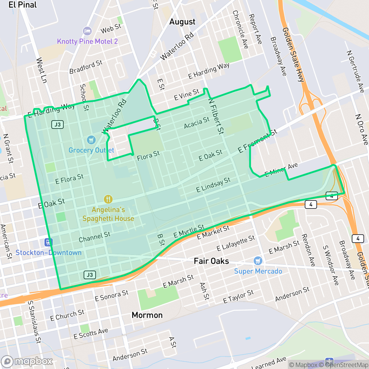
Waterloo is a historic, agriculturally rooted community characterized by a dense mix of mid-century residential blocks and active industrial zones. Residents experience a suburban environment with significant proximity to logistics hubs, which results in frequent heavy truck traffic and elevated noise levels.
Key Highlights
About Waterloo
Waterloo, located just northeast of Stockton, California, is a historic rural community that developed in the mid-19th century. It is famously known for the local "Battle of Waterloo" on November 9, 1861, a celebrated land dispute between landowner Aylmer Drullard and John Balkwill, a squatter who had fortified his cabin. To evict Balkwill, a group of local landholders borrowed a cannon from Stockton, loaded it with scrap iron, and fired on the cabin. Balkwill returned fire, wounding three members of the posse. The attackers were arrested and fined, and Balkwill kept the land, eventually selling it back to Drullard. Today, Waterloo remains a quiet, agriculturally focused area characterized by spacious properties, a high proportion of residents employed in farming, and well-established homes dating back to the mid-20th century.
The area functions as a dense suburban and industrial hybrid, where residential grids sit alongside large-scale warehouses and freight corridors. According to iHuus data, the neighborhood features a high density of industrial warehouses that define the local landscape. While the community maintains a generally quiet atmosphere, the presence of major logistics hubs and highway interchanges contributes to consistent road noise and industrial activity. The architectural landscape is composed primarily of standard tract housing with limited yard space, reflecting a layout that prioritizes proximity to commercial and industrial employment centers over expansive private outdoor amenities.
Prospective residents should consider the trade-offs associated with living in an industrial-adjacent zone, including higher noise levels and heavy vehicle traffic. The neighborhood offers a moderate level of walkability, though the sidewalk network is often impacted by local freight activity. Educational options are primarily served by the Stockton Unified School District, which faces ongoing challenges regarding academic performance and governance. This area is most suitable for those who prioritize proximity to regional logistics employment and a straightforward, no-frills suburban lifestyle.
Neighborhood Scores Across 15 Qualities
Residential spacing varies across the area, ranging from closely packed houses near industrial boundaries to standard suburban setbacks. This level of separation is roughly comparable to the Stockton average, according to iHuus data.
Sidewalks are present throughout residential blocks and near the school campus, though heavy industrial and highway traffic makes walking less convenient than in much of Stockton. According to iHuus data, the presence of a grid system and safe crossings is offset by safety concerns near the neighborhood borders.
Simple, dense tract housing defines the area, which offers less greenery and architectural variety than the Stockton average. According to iHuus data, many lots feature small yards and minimal luxury amenities.
Limited public green space and narrow sidewalk verges make off-leash walking difficult. Most greenery is confined to private fenced yards, which is below the Stockton average according to iHuus data.
Residential blocks and single-family homes exist alongside large-scale industrial warehouses and major highway corridors. This layout is slightly more urbanized than the typical Stockton area, featuring a mix of dense suburban grids and significant commercial footprints.
A combination of warehouses, railway corridors, and suburban streets creates a subdued atmosphere with slightly less activity than the Stockton average. While some pockets feature diverse local dining, much of the area is defined by low-density industrial zones and limited commercial walkability.
Frequent noise from nearby railroad tracks and heavy freeway traffic characterizes this area. According to iHuus data, acoustic comfort is lower than the Stockton average.
Air quality in Waterloo fluctuates between acceptable and unhealthy levels on certain days. According to iHuus data, these conditions are consistent with the average found throughout Stockton.
Large logistics warehouses, rail sidings, and truck yards border residential areas, creating more industrial activity than the Stockton average. According to iHuus data, residents may experience increased noise and heavy vehicle traffic from nearby freight-loading facilities.
Health insurance accessibility in Waterloo is slightly below the Stockton average, according to iHuus data. Residents may encounter more challenges accessing coverage compared to the rest of the city.
Voting patterns and census indicators reflect a predominantly liberal political leaning that is more pronounced than the Stockton average, according to iHuus data.
Residents live alongside a broad mix of young adults, families, and older populations. This demographic spread is slightly more varied than the typical profile found across Stockton.
Flood risk in this area is difficult to assess because a detailed study has not been completed. According to iHuus data, the lack of definitive mapping indicates a higher level of uncertainty regarding flood safety compared to the city average.
Block-Level Insights for Waterloo

iHuus Neighborhood Intelligence Insights
Get block-level neighborhood insights for Waterloo
- Street-level scores — see how individual blocks compare, not just neighborhood averages
- Micro-zone boundaries — identify quiet pockets, flood boundaries, and walkable clusters before you visit
- 15 dimensions in full — walkability, noise, air quality, school quality, insurance coverage, population age profile, urban/rural index, and more
- Boundary risk alerts — know if your address sits near a block boundary where scores drop, the kind of detail no listing will ever mention
- School insights — individual school ratings and insights, not just district-level data
- Compare before you commit — side-by-side data across neighborhoods, down to block precision
No credit card required
Compare with Any Neighborhood
| Dimension | Waterloo | Anderson |
|---|---|---|
| 🚶 Walkabilityavg 8.33 | ||
| 🔊 Acoustic Comfortavg 3.04 | ||
| 🤫 Privacy Indexavg 5.32 | ||
| 🎨 Visual Appealavg 6.38 | ||
| 🐕 Dog Friendlinessavg 6.44 | ||
| 🗺️ Urban-Rural Indexavg 6.82 | ||
| ✨ Neighborhood Vibeavg 4.6 | ||
| 🏥 Health Insurance Coverageavg 6.72 | ||
| 🌿 Air Qualityavg 6 | ||
| 🏭 Industrial Proximityavg 7.71 | ||
| 🌊 Flood Safetyavg 5.9 | ||
| 🗳️ Ideological Leanavg 8.5 | ||
| 👥 Population Age Profileavg 4.59 | ||
| 🔥 Fire Safety | ||
| 🏫 School Quality |
Waterloo Rankings
School Districts Serving Waterloo
Stockton Unified is currently a Distressed district (Rating: 2) characterized by a severe academic divide and significant historical instability. While the current administration has achieved notable milestones—including exceeding state graduation averages, exiting Department of Justice monitoring, and stabilizing leadership—the district's foundation remains weak, with over 20 schools rated 1/10 and math proficiency at a critical low of 17%. Recent board-level criminal scandals and funding cuts to technical programs counteract the 'Blue Chip' aspirations of its high-performing specialty academies. Despite professional management improvements, the district remains a 'high-risk' entity due to the volume of underperforming schools and persistent governance challenges.
Schools
School Insights for Waterloo
Below average outcomes; significant attendance and academic challenges.
School Insights
See what's really behind every school rating near Waterloo
- Individual school ratings — each school's own score with outcome context, not just a district average
- Enrollment & class size data — student-to-teacher ratio and how it compares to the state average
- Full demographics breakdown — ethnicity and gender composition for every school in the enrollment zone
- Every school in the district — all schools within the enrollment boundary ranked by rating, not just the closest one
- Grade levels & benchmarks — elementary through high school, with below/above state-average flags
No credit card required