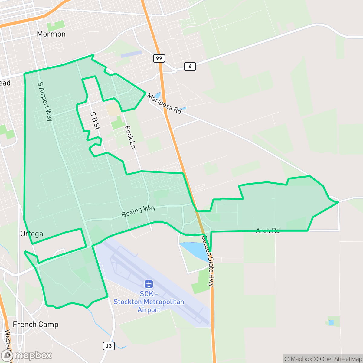
Stockton Metropolitan Airport, Stockton
Updated June 22, 2026 · 15,381 residents
The Stockton Metropolitan Airport neighborhood is defined by its proximity to a major logistics and industrial hub, creating a landscape of dense warehouses and active freight corridors. While residents benefit from a well-connected sidewalk network, the area remains car-dependent and features tightly packed suburban housing with limited privacy.
Key Highlights
About Stockton Metropolitan Airport
The neighborhood surrounding the Stockton Metropolitan Airport has a history deeply rooted in aviation and military service. Originally established in 1929 as the Stockton Municipal Airport, the site was leased by the U.S. Army in 1940 and dedicated as Stockton Field in 1941. During World War II, it served as one of the largest advanced military flying training schools on the West Coast. Following the war, the facility transitioned back to civilian use, and a portion of the airfield became the Sharpe General Depot Field Annex, which played a vital logistics role during the Vietnam War. Officially renamed the Stockton Metropolitan Airport in 1964, the area evolved into a key regional transportation and cargo hub. Today, the neighborhood's military legacy is preserved at the Stockton Field Aviation Museum, located on-site.
The area is characterized by a hybrid landscape where dense suburban residential blocks sit alongside large-scale industrial warehouses and transit corridors. The environment is heavily influenced by its function as a regional logistics hub, featuring frequent truck traffic and proximity to major freight routes. While the street grid is well-connected with reliable sidewalks, the neighborhood lacks a distinct commercial center, resulting in a quiet, car-oriented atmosphere with few local retail or dining destinations.
Prospective residents should note that the neighborhood faces significant noise from road traffic and industrial operations. According to iHuus data, the area presents a challenging environment for those seeking high privacy, as homes are spaced closely together with narrow setbacks. While local school options are varied, families should be aware of the academic inconsistencies within the serving districts. This location is best suited for those who prioritize proximity to regional logistics employment over a traditional, amenity-rich suburban lifestyle.
Neighborhood Scores Across 15 Qualities
Residential spacing is somewhat varied, though houses are often situated relatively close to one another. This level of density is slightly higher than the average seen across Stockton.
Sidewalks and crosswalks are widely available on residential streets, though major arterial roads and rail corridors can limit easy pedestrian movement. This level of connectivity is slightly lower than the Stockton average.
Standard tract housing with uniform rooflines and small yards defines the local landscape. This area features less visual variety and fewer private amenities than the Stockton average, according to iHuus data.
Available walking areas are somewhat below the city average, as the area consists largely of industrial rail yards and small private yards. Some residents may find use for the nearby school fields and the small park located in the southwest corner.
The landscape features a significant presence of large-scale logistics warehouses and industrial hubs alongside expansive agricultural fields. This environment offers a transition between heavy industrial infrastructure and open land, similar to the broader Stockton area.
Primarily characterized by warehouses and freight corridors, this area offers a tranquil but low-activity environment. Local dining and essential services are sparse, making the area less lively than the Stockton average.
Frequent aircraft activity and proximity to transit infrastructure create a louder environment than the Stockton average. Residents may experience consistent disturbances from nearby flight paths and rail lines.
Air quality levels in this area are consistent with the Stockton average, presenting a mix of acceptable and unhealthy days. Sensitive groups may experience occasional concern during periods of poor air quality according to iHuus data.
Heavy logistics hubs, large warehouses, and active rail yards are prominent here, resulting in significantly higher industrial density than the Stockton average. Residents may experience increased truck traffic and noise from nearby distribution centers and loading docks.
Health insurance coverage among local residents is lower than the Stockton average, according to iHuus data.
Voting patterns and census indicators reflect a more liberal political leaning than the Stockton average, according to iHuus data.
A varied mix of young adults, families, and seniors resides in this area. According to iHuus data, the population age profile is slightly lower than the Stockton average.
Properties in this area are situated within a significant floodplain, which is much more vulnerable to flooding than the typical Stockton neighborhood. According to iHuus data, residents should prepare for higher flood risks and the likely requirement of flood insurance.
Block-Level Insights for Stockton Metropolitan Airport

iHuus Neighborhood Intelligence Insights
Get block-level neighborhood insights for Stockton Metropolitan Airport
- Street-level scores — see how individual blocks compare, not just neighborhood averages
- Micro-zone boundaries — identify quiet pockets, flood boundaries, and walkable clusters before you visit
- 15 dimensions in full — walkability, noise, air quality, school quality, insurance coverage, population age profile, urban/rural index, and more
- Boundary risk alerts — know if your address sits near a block boundary where scores drop, the kind of detail no listing will ever mention
- School insights — individual school ratings and insights, not just district-level data
- Compare before you commit — side-by-side data across neighborhoods, down to block precision
No credit card required
Compare with Any Neighborhood
| Dimension | Stockton Metropolitan Airport | Anderson |
|---|---|---|
| 🚶 Walkabilityavg 8.33 | ||
| 🔊 Acoustic Comfortavg 3.04 | ||
| 🤫 Privacy Indexavg 5.32 | ||
| 🎨 Visual Appealavg 6.38 | ||
| 🐕 Dog Friendlinessavg 6.44 | ||
| 🗺️ Urban-Rural Indexavg 6.82 | ||
| ✨ Neighborhood Vibeavg 4.6 | ||
| 🏥 Health Insurance Coverageavg 6.72 | ||
| 🌿 Air Qualityavg 6 | ||
| 🏭 Industrial Proximityavg 7.71 | ||
| 🌊 Flood Safetyavg 5.9 | ||
| 🗳️ Ideological Leanavg 8.5 | ||
| 👥 Population Age Profileavg 4.59 | ||
| 🔥 Fire Safety | ||
| 🏫 School Quality |
Stockton Metropolitan Airport Rankings
School Districts Serving Stockton Metropolitan Airport
Escalon Unified School District operates as a stable, community-centric organization with high teacher quality and strong athletic traditions, yet it faces significant academic inconsistencies. While the district maintains prestigious standings in regional teacher rankings and demonstrates robust financial engagement through potential bond measures and active sports boosters, there is a stark performance gap between its high-performing rural elementaries and the critically underperforming middle and urban elementary schools. With English and Math proficiency levels hovering below 40%, the district sits in a transitional state where operational health and community trust currently outweigh mixed academic outcomes.
Schools
Manteca Unified School District is a system in transition, characterized by a dual-track profile of robust infrastructure growth and persistent academic challenges. While the district maintains a high 92% graduation rate and is successfully executing a $150 million facility expansion plan, its standardized test scores lag behind state averages, and there is a pronounced performance gap between its top-tier and bottom-tier elementary schools. Positive indicators include strong Career Technical Education (CTE) programs, high community trust in bond measures, and recent state recognition for high school growth, but these are offset by low proficiency rates and salary competitiveness concerns that impact support staff retention.
Schools
Stockton Unified is currently a Distressed district (Rating: 2) characterized by a severe academic divide and significant historical instability. While the current administration has achieved notable milestones—including exceeding state graduation averages, exiting Department of Justice monitoring, and stabilizing leadership—the district's foundation remains weak, with over 20 schools rated 1/10 and math proficiency at a critical low of 17%. Recent board-level criminal scandals and funding cuts to technical programs counteract the 'Blue Chip' aspirations of its high-performing specialty academies. Despite professional management improvements, the district remains a 'high-risk' entity due to the volume of underperforming schools and persistent governance challenges.
Schools
School Insights for Stockton Metropolitan Airport
Below average outcomes; significant attendance and academic challenges.
School Insights
See what's really behind every school rating near Stockton Metropolitan Airport
- Individual school ratings — each school's own score with outcome context, not just a district average
- Enrollment & class size data — student-to-teacher ratio and how it compares to the state average
- Full demographics breakdown — ethnicity and gender composition for every school in the enrollment zone
- Every school in the district — all schools within the enrollment boundary ranked by rating, not just the closest one
- Grade levels & benchmarks — elementary through high school, with below/above state-average flags
No credit card required