Kentfield, Stockton
Updated June 22, 2026 · 6,883 residents
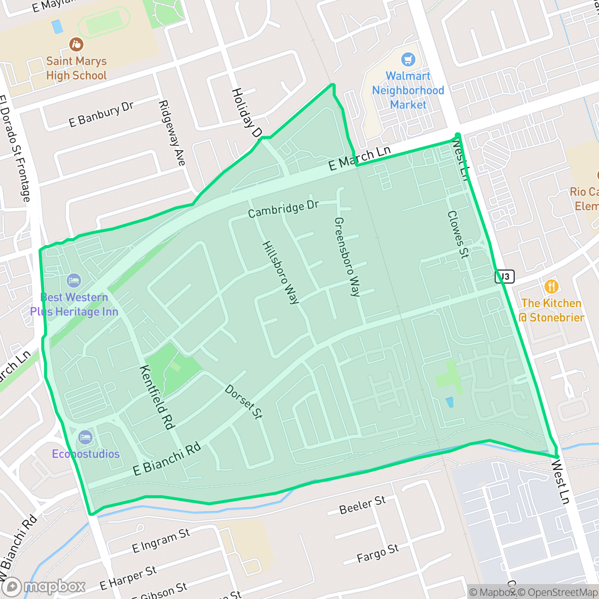
Kentfield is an exceptionally walkable Stockton neighborhood characterized by a dense mix of single-family homes and apartment complexes. While it offers convenient access to local retail and green spaces, residents should be aware of significant road noise and a high-density layout that limits residential privacy.
Key Highlights
About Kentfield
Kentfield serves as a dense suburban hub in Stockton, featuring a blend of residential housing and nearby retail centers. The area is defined by its high walkability, with a continuous network of sidewalks and crosswalks that connect local residential blocks to commercial zones. Residents benefit from proximity to neighborhood parks and river-adjacent trails, providing accessible outdoor space despite the area's suburban layout and standard architectural style.
Living in the area requires balancing pedestrian convenience with specific environmental trade-offs. The neighborhood experiences elevated noise levels primarily due to road traffic, and the high-density construction results in limited privacy between neighboring structures. Prospective residents should also consider that while the local schools operate within the Lincoln Unified School District, academic performance varies significantly across grade levels. The area is well-suited for those prioritizing ease of movement and proximity to daily amenities over quiet, low-density living.
Neighborhood Scores Across 15 Qualities
Residential spacing varies between detached homes with private backyards and denser apartment blocks with shared walls. According to iHuus data, this level of privacy is slightly higher than the Stockton average.
Pedestrian navigation is easy due to a continuous sidewalk network and visible crosswalks at major intersections. This level of connectivity for residents is significantly higher than the Stockton average.
Uniform tract housing and apartment complexes define the visual landscape, which is slightly less varied than the Stockton average. According to iHuus data, the area features consistent rooflines and tidy but modest yards.
Accessible river-adjacent trails and continuous sidewalks with grassy verges provide reliable walking routes for pets. According to iHuus data, these connected green spaces and large athletic fields offer dog-friendly exercise opportunities similar to the rest of Stockton.
Open land and scattered residences provide a more tranquil, semi-rural atmosphere that is slightly less dense than the typical Stockton urban layout. According to iHuus data, the area features a mix of woodland and fields interspersed with residential pockets.
Suburban streets offer a mix of quiet residential pockets and accessible dining options, providing a level of activity slightly higher than the Stockton average. While many social hubs and eateries are available, the area remains largely car-oriented with limited walking access to most amenities.
Frequent noise from nearby railroad tracks and major freeway proximity makes this area significantly louder than the Stockton average, according to iHuus data.
Air quality levels in Kentfield fluctuate between acceptable and unhealthy, aligning with the typical conditions found throughout Stockton. Sensitive groups should remain mindful of occasional periods of concern according to iHuus data.
Largely residential with minimal heavy industry, this area features only occasional light commercial structures and warehouses. According to iHuus data, the lack of significant industrial activity makes this neighborhood slightly cleaner of industrial proximity than the Stockton average.
Health insurance access is slightly above the Stockton average, according to iHuus data. Most residents in this area have access to medical coverage.
Voting patterns and census indicators show a predominantly liberal leaning that is slightly more pronounced than the Stockton average, according to iHuus data.
A diverse range of age groups, including young adults, families, and seniors, resides here. According to iHuus data, this age distribution is largely consistent with the broader Stockton area.
Residual flood risk exists within this area, though the level of safety is notably higher than the Stockton average according to iHuus data.
Block-Level Insights for Kentfield

iHuus Neighborhood Intelligence Insights
Get block-level neighborhood insights for Kentfield
- Street-level scores — see how individual blocks compare, not just neighborhood averages
- Micro-zone boundaries — identify quiet pockets, flood boundaries, and walkable clusters before you visit
- 15 dimensions in full — walkability, noise, air quality, school quality, insurance coverage, population age profile, urban/rural index, and more
- Boundary risk alerts — know if your address sits near a block boundary where scores drop, the kind of detail no listing will ever mention
- School insights — individual school ratings and insights, not just district-level data
- Compare before you commit — side-by-side data across neighborhoods, down to block precision
No credit card required
Compare with Any Neighborhood
| Dimension | Kentfield | Anderson |
|---|---|---|
| 🚶 Walkabilityavg 8.33 | ||
| 🔊 Acoustic Comfortavg 3.04 | ||
| 🤫 Privacy Indexavg 5.32 | ||
| 🎨 Visual Appealavg 6.38 | ||
| 🐕 Dog Friendlinessavg 6.44 | ||
| 🗺️ Urban-Rural Indexavg 6.82 | ||
| ✨ Neighborhood Vibeavg 4.6 | ||
| 🏥 Health Insurance Coverageavg 6.72 | ||
| 🌿 Air Qualityavg 6 | ||
| 🏭 Industrial Proximityavg 7.71 | ||
| 🌊 Flood Safetyavg 5.9 | ||
| 🗳️ Ideological Leanavg 8.5 | ||
| 👥 Population Age Profileavg 4.59 | ||
| 🔥 Fire Safety | ||
| 🏫 School Quality |
Kentfield Rankings
School Districts Serving Kentfield
Lincoln Unified School District operates as a 'Mixed' system characterized by a high-performing secondary tier and significant academic struggles at the elementary level. While the district maintains a strong reputation for diversity, elite extracurriculars, and high graduation rates that draw interdistrict transfers, its operational stability is currently tested by community concerns over facility reconfigurations and a wide achievement gap across its feeder schools. The organization remains a 'destination' choice in the Stockton area due to its successful high school programs and fiscal transparency, but the 1-3/10 ratings across much of its primary portfolio indicate a need for significant structural intervention to ensure consistent quality.
Schools
Stockton Unified is currently a Distressed district (Rating: 2) characterized by a severe academic divide and significant historical instability. While the current administration has achieved notable milestones—including exceeding state graduation averages, exiting Department of Justice monitoring, and stabilizing leadership—the district's foundation remains weak, with over 20 schools rated 1/10 and math proficiency at a critical low of 17%. Recent board-level criminal scandals and funding cuts to technical programs counteract the 'Blue Chip' aspirations of its high-performing specialty academies. Despite professional management improvements, the district remains a 'high-risk' entity due to the volume of underperforming schools and persistent governance challenges.
Schools
School Insights for Kentfield
Below average outcomes; significant attendance and academic challenges.
School Insights
See what's really behind every school rating near Kentfield
- Individual school ratings — each school's own score with outcome context, not just a district average
- Enrollment & class size data — student-to-teacher ratio and how it compares to the state average
- Full demographics breakdown — ethnicity and gender composition for every school in the enrollment zone
- Every school in the district — all schools within the enrollment boundary ranked by rating, not just the closest one
- Grade levels & benchmarks — elementary through high school, with below/above state-average flags
No credit card required