Santa Clarita Neighborhood Intelligence Index
Updated June 22, 2026 · 3 neighborhoods measured
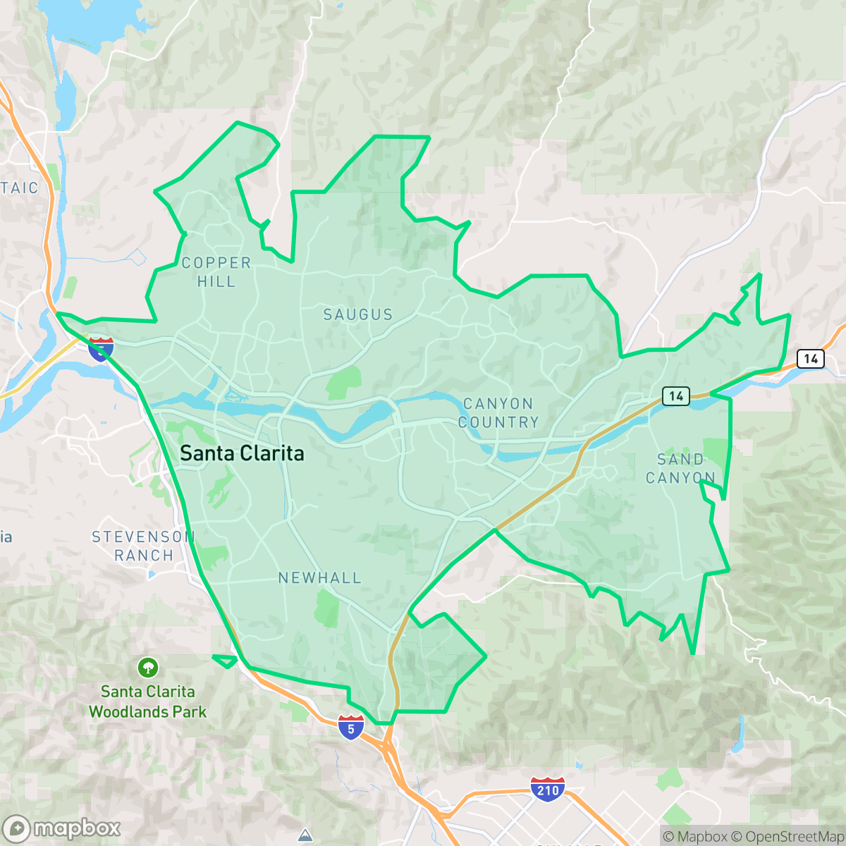
Situated in northwestern Los Angeles County between the San Gabriel and Santa Susana mountains, Santa Clarita is a master-planned city renowned for its Western film heritage and Six Flags Magic Mountain. Residents benefit from exceptional air quality and highly walkable neighborhoods that are well-removed from industrial zones. However, the area faces significant environmental challenges, including high risks of wildfires and floods, alongside notable local noise levels. This blend of outdoor access and suburban convenience makes Santa Clarita highly suited for active families and professionals seeking a scenic, community-oriented retreat.
Santa Clarita Quality Scores
See how neighborhoods in Santa Clarita compare on dog friendliness. Rankings are based on measured data aggregated across each neighborhood boundary.
See how neighborhoods in Santa Clarita compare on fire safety. Rankings are based on measured data aggregated across each neighborhood boundary.
See how neighborhoods in Santa Clarita compare on privacy index. Rankings are based on measured data aggregated across each neighborhood boundary.
See how neighborhoods in Santa Clarita compare on urban-rural index. Rankings are based on measured data aggregated across each neighborhood boundary.
See how neighborhoods in Santa Clarita compare on liveliness and vibe. Rankings are based on measured data aggregated across each neighborhood boundary.
See how neighborhoods in Santa Clarita compare on visual appeal. Rankings are based on measured data aggregated across each neighborhood boundary.
See how neighborhoods in Santa Clarita compare on walkability. Rankings are based on measured data aggregated across each neighborhood boundary.
See how neighborhoods in Santa Clarita compare on acoustic comfort. Rankings are based on measured data aggregated across each neighborhood boundary.
See how neighborhoods in Santa Clarita compare on air quality. Rankings are based on measured data aggregated across each neighborhood boundary.
See how neighborhoods in Santa Clarita compare on industrial proximity. Rankings are based on measured data aggregated across each neighborhood boundary.
See how neighborhoods in Santa Clarita compare on health insurance coverage. Rankings are based on measured data aggregated across each neighborhood boundary.
See how neighborhoods in Santa Clarita compare on ideological lean. Rankings are based on measured data aggregated across each neighborhood boundary.
See how neighborhoods in Santa Clarita compare on population age profile. Rankings are based on measured data aggregated across each neighborhood boundary.
See how neighborhoods in Santa Clarita compare on flood safety. Rankings are based on measured data aggregated across each neighborhood boundary.
Santa Clarita Neighborhood Rankings

iHuus Neighborhood Intelligence Insights
Get block-level neighborhood insights for Santa Clarita
- Street-level scores — see how individual blocks compare, not just neighborhood averages
- Micro-zone boundaries — identify quiet pockets, flood boundaries, and walkable clusters before you visit
- 15 dimensions in full — walkability, noise, air quality, school quality, insurance coverage, population age profile, urban/rural index, and more
- Boundary risk alerts — know if your address sits near a block boundary where scores drop, the kind of detail no listing will ever mention
- School insights — individual school ratings and insights, not just district-level data
- Compare before you commit — side-by-side data across neighborhoods, down to block precision
No credit card required