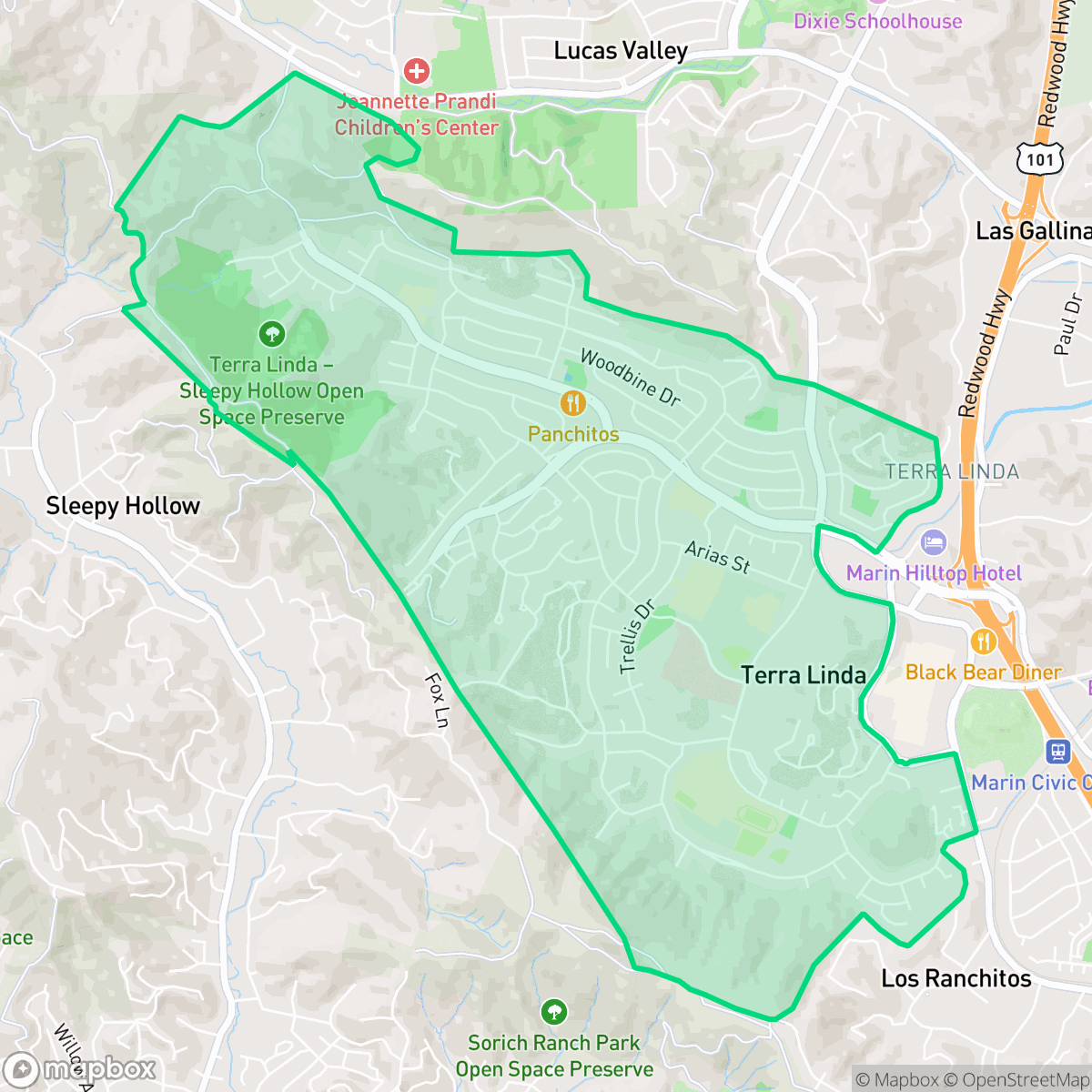
Terra Linda, San Rafael
Updated June 22, 2026 · 7,734 residents
Terra Linda is a quiet, suburban neighborhood in San Rafael known for its extensive collection of mid-century modern Eichler homes and abundant green spaces. Residents benefit from excellent air quality and a high degree of dog-friendliness, though the area remains largely car-dependent with limited walkability.
Key Highlights
About Terra Linda
Once the ancestral home of the Coast Miwok’s Tamal Aguasto tribe, the Terra Linda neighborhood in San Rafael originated as a dairy ranch owned by the Portuguese immigrant Manuel T. Freitas family. In 1953, the land was sold for subdivision under the Terra Linda Master Plan, and the family's daughter, Rose, suggested the name "Terra Linda" ("beautiful land" in Portuguese). The former Freitas farmhouse was donated to become St. Isabella’s Catholic Church. Developed rapidly after World War II, the neighborhood became renowned for its mid-century modern architecture. Between 1955 and 1965, developer Joseph Eichler built approximately 900 of his signature homes here, characterized by open-beam ceilings, hydronic heating, and floor-to-ceiling glass walls. Originally an unincorporated "bedroom community" served by the historic Scotty's Market, Terra Linda was annexed to San Rafael in 1972.
The neighborhood maintains a calm, residential atmosphere characterized by low-density housing and significant open space. It features a mix of local social spots, such as cafes and diverse dining options, scattered throughout its suburban streets. The area is highly regarded for its visual appeal and clean air, providing a serene environment for those who prefer a quieter lifestyle over the bustle of a dense urban center.
While the community offers high levels of health insurance coverage and a stable, high-performing educational environment for families, there are important trade-offs to consider. The neighborhood has limited walkability and lower levels of overall activity, making personal vehicles necessary for most errands. Prospective residents should also be aware of the high fire risk profile inherent to the local landscape, which remains a primary consideration for safety and insurance planning in this part of Marin County.
Neighborhood Scores Across 15 Qualities
Residential spacing provides a degree of separation between neighbors, offering slightly more seclusion than the typical San Rafael neighborhood according to iHuus data.
Sidewalks and safe crossings are available on most streets, though walkability is slightly below the San Rafael average. Most local trips can be completed on foot with consistent pedestrian infrastructure.
Large homes and premium amenities create a highly attractive streetscape that is more visually pleasing than the San Rafael average. According to iHuus data, the area features wide driveways and well-maintained properties.
Abundant parks and extensive trail systems provide ample space for pets. According to iHuus data, the availability of open space in this area is higher than the San Rafael average.
Frequent open lands and scattered homes amid woodland characterize this area. According to iHuus data, the landscape is slightly more rural than the San Rafael average.
Daily activity is centered around essential services and car-oriented retail, offering a calm atmosphere that is slightly less active than the San Rafael average. Many areas feature low-density residential streets and open spaces that prioritize serenity over high-energy social hubs.
Ongoing noise from nearby busy streets is common in this area. According to iHuus data, the level of acoustic disturbance is roughly equivalent to the San Rafael average.
Air quality is consistently high with minimal health concerns, performing slightly better than the San Rafael average according to iHuus data.
Residential life here is free from warehouses, manufacturing plants, or hazardous industrial sites. This neighborhood maintains a cleaner profile than the San Rafael average due to its purely residential and light commercial composition.
Health insurance access is exceptionally high among residents, significantly exceeding the San Rafael average according to iHuus data.
Voting patterns and census indicators in Terra Linda reflect a predominantly liberal political leaning, which is consistent with the broader San Rafael area according to iHuus data.
A varied mix of young adults, families, and older residents characterizes this area. According to iHuus data, the population age distribution is more varied than the San Rafael average.
Some areas within the neighborhood fall within a 500-year floodplain, though safety levels are notably higher than the San Rafael average according to iHuus data.
Extreme fire hazards are present in this area, which presents a slightly higher risk than the San Rafael average according to iHuus data. Residents should prioritize maximum protection measures and rigorous emergency preparedness.
Block-Level Insights for Terra Linda

iHuus Neighborhood Intelligence Insights
Get block-level neighborhood insights for Terra Linda
- Street-level scores — see how individual blocks compare, not just neighborhood averages
- Micro-zone boundaries — identify quiet pockets, flood boundaries, and walkable clusters before you visit
- 15 dimensions in full — walkability, noise, air quality, school quality, insurance coverage, population age profile, urban/rural index, and more
- Boundary risk alerts — know if your address sits near a block boundary where scores drop, the kind of detail no listing will ever mention
- School insights — individual school ratings and insights, not just district-level data
- Compare before you commit — side-by-side data across neighborhoods, down to block precision
No credit card required
Compare with Any Neighborhood
| Dimension | Terra Linda | Bay Islands |
|---|---|---|
| 🚶 Walkabilityavg 7.77 | ||
| 🔊 Acoustic Comfortavg 4.28 | ||
| 🤫 Privacy Indexavg 5.75 | ||
| 🎨 Visual Appealavg 7.83 | ||
| 🐕 Dog Friendlinessavg 8.65 | ||
| 🗺️ Urban-Rural Indexavg 7.61 | ||
| ✨ Neighborhood Vibeavg 4 | ||
| 🏥 Health Insurance Coverageavg 7.38 | ||
| 🌿 Air Qualityavg 9.29 | ||
| 🏭 Industrial Proximityavg 9.06 | ||
| 🌊 Flood Safetyavg 3.6 | ||
| 🗳️ Ideological Leanavg 9.8 | ||
| 👥 Population Age Profileavg 5.25 | ||
| 🔥 Fire Safetyavg 1.32 | ||
| 🏫 School Quality |
Terra Linda Rankings
School Districts Serving Terra Linda
Tamalpais Union High School District remains a premier educational entity, ranked 16th in California with an A+ academic standing. While the district is navigating fiscal headwinds—including a $5 million deficit and projected enrollment declines—it maintains high operational stability through strategic staffing adjustments and proactive financial planning via upcoming parcel tax renewals. Its flagship high schools are top-tier destination schools with exceptional STEM and collegiate preparation outcomes. Despite minor community friction regarding technology policies and administrative turnover, the district's 'Blue Chip' status is secured by its dominant academic performance, low chronic absenteeism, and high-performing feeder consistency.
Schools
Miller Creek Elementary School District (formerly Dixie) is a high-performing, stable organization characterized by top-tier academic outcomes and strong community backing. With three out of four schools performing at the highest levels and a 10/10 middle school serving as a premier feeder, the district remains a primary draw for families in the San Rafael area. Operational health is robust, evidenced by successful facility modernization projects and transparent fiscal management in the face of inflationary pressures. Although there is a notable performance disparity at one elementary site and anecdotal reports of a competitive atmosphere, the district's proactive approach to student wellness and curriculum innovation secures its standing as a solid, high-quality educational provider.
Schools
Ross Valley Elementary School District is a high-performing, stable organization characterized by top-tier academic outcomes and strong community financial backing through its foundation and local tax measures. While the district is currently navigating the regional challenges of declining enrollment and high living costs for staff, its operational health remains robust due to proactive curriculum modernization, successful facility safety initiatives, and high parent satisfaction. The district serves as a premier destination for families in Marin County, maintaining a 'Blue Chip' academic profile with manageable, albeit present, fiscal and demographic headwinds.
Schools
San Rafael City Elementary School District is a solid but bifurcated organization, characterized by a mix of high-achieving 'Blue Chip' campuses and severely underperforming schools serving lower-income areas. The district demonstrates strong operational stability through successful infrastructure bonds, modernized facilities, and a rigorous shift toward evidence-based literacy instruction. While teacher quality and community sentiment remain high, the district's overall health is tempered by a persistent achievement gap, rising cost-of-living challenges for staff retention, and the need for more consistent academic rigor across all neighborhood schools.
Schools
San Rafael City High School District is currently in a state of transition, characterized by a significant performance gap between its high-performing Terra Linda campus and its struggling alternative and secondary sites. While the district is successfully executing large-scale infrastructure improvements through voter-approved bonds and showing strong outcomes in specialized English learner and environmental programs, it faces a looming $5.5 million budget shortfall and declining enrollment. The shift toward a property tax-based funding model and ongoing staff reductions suggest fiscal instability, though strong community support and modernizing facilities provide a buffer against total operational decline.
Schools
School Insights for Terra Linda
Below average outcomes; significant attendance and academic challenges.
School Insights
See what's really behind every school rating near Terra Linda
- Individual school ratings — each school's own score with outcome context, not just a district average
- Enrollment & class size data — student-to-teacher ratio and how it compares to the state average
- Full demographics breakdown — ethnicity and gender composition for every school in the enrollment zone
- Every school in the district — all schools within the enrollment boundary ranked by rating, not just the closest one
- Grade levels & benchmarks — elementary through high school, with below/above state-average flags
No credit card required