Lincoln/San Rafael Hill, San Rafael
Updated June 22, 2026 · 2,222 residents
Lincoln/San Rafael Hill is a visually striking neighborhood defined by its hillside terrain and proximity to historic landmarks. While it offers high air quality and excellent access to green space for dog owners, residents should be aware of significant noise levels from nearby highway traffic. The area maintains a unique blend of dense urban convenience and elevated residential character.
Key Highlights
About Lincoln/San Rafael Hill
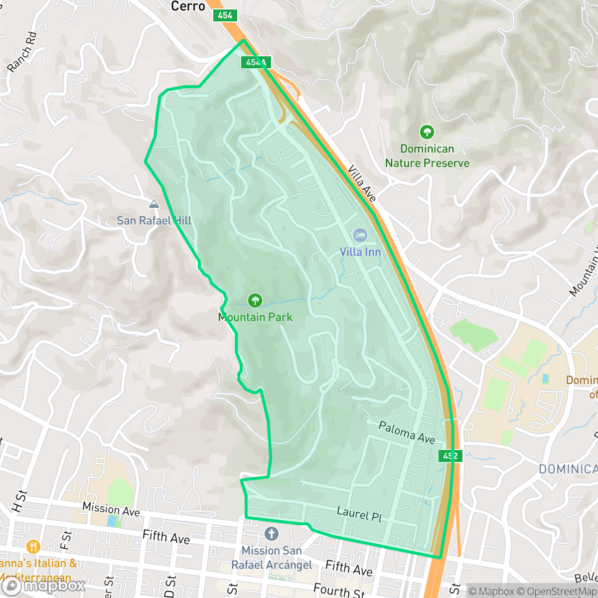
The Lincoln/San Rafael Hill neighborhood in San Rafael, California, is a historic enclave defined by its namesake 660-foot hill and rich late 19th-century heritage. Originally part of early landholdings owned by Alexander Forbes and William T. Coleman, the area is bordered by Lincoln Avenue—historically the main road leading north out of town. The neighborhood features prominent architectural landmarks, including the 1888 Queen Anne-style Falkirk Mansion, once owned by shipping magnate Captain Robert Dollar, who donated much of the hill's open space. Adjacent is Boyd Memorial Park, created from land donated by pioneering Arctic explorer Louise Arner Boyd. The park is home to the 1879 Victorian Boyd Gate House, which serves as a cultural hub and headquarters for the Marin History Museum.
This neighborhood serves as a central hub in San Rafael, characterized by a mix of dense residential blocks and hillside estates that provide a distinct visual appeal. The area benefits from a highly connected street grid and pedestrian infrastructure, allowing for easy movement across the community despite the presence of major thoroughfares. Residents enjoy proximity to a variety of local dining options and recreational facilities, which contribute to a balanced suburban lifestyle.
Prospective residents should weigh the benefits of the neighborhood's central location against its acoustic environment, as road traffic noise is a notable factor. While the area offers exceptional air quality and access to nature, it is situated in a zone with high fire risk, a critical consideration for those evaluating safety. It is best suited for individuals or families who prioritize central access and architectural character over absolute quiet, and who are prepared to navigate the specific environmental realities of a hillside location.
Neighborhood Scores Across 15 Qualities
Housing density varies across the area, ranging from tighter street layouts to large hillside estates with significant vegetation buffers. According to iHuus data, this neighborhood offers slightly more separation between neighbors than the San Rafael average.
Pedestrian connectivity is high due to a grid system and multiple bridges over the highway. Sidewalks and canopy-covered streets offer safe access to local parks, making walkability slightly below the San Rafael average.
Large custom homes, private pools, and high-quality recreational facilities define this area. The scenery and property aesthetics are notably more refined than the San Rafael average, according to iHuus data.
Abundant wooded trails and large public sports fields provide extensive space for pet exercise. This level of access to open space is slightly higher than the San Rafael average, according to iHuus data.
Scattered homes sit among significant tree canopy and woodland, providing a slightly more suburban feel than the more rural outskirts of San Rafael. According to iHuus data, this area offers a balance of dense hillside residential pockets and proximity to adjacent wildland parks.
Local dining and social hubs offer a more active atmosphere than the San Rafael average, though much of the area remains car-dependent. According to iHuus data, the neighborhood features a mix of lively pockets and quieter, low-density residential streets.
Frequent noise from nearby freeway and railroad corridors is a significant feature of this area. According to iHuus data, acoustic comfort levels are notably lower than the San Rafael average.
Air quality remains consistently high with minimal pollutants, performing even better than the San Rafael average according to iHuus data.
Industrial presence is non-existent in this area, providing a landscape free from warehouses or heavy manufacturing. According to iHuus data, this neighborhood is even more secluded from industrial activity than the San Rafael average.
Health insurance access is significantly higher in this area than in the rest of San Rafael, according to iHuus data.
Voting patterns and census indicators align closely with the political landscape of the rest of San Rafael. Residents will find a community that reflects the broader city-wide ideological trends, according to iHuus data.
Residents live alongside a balanced variety of young adults, families, and older populations. This demographic spread is roughly in line with the average seen across San Rafael.
Flood risk in this area is slightly higher than the San Rafael average. According to iHuus data, the lack of a detailed FEMA study means the exact level of risk remains undetermined.
Wildfire danger is significantly higher here than the San Rafael average, requiring extreme caution and maximum protection measures. According to iHuus data, the area faces a severe fire hazard.
Block-Level Insights for Lincoln/San Rafael Hill

iHuus Neighborhood Intelligence Insights
Get block-level neighborhood insights for Lincoln/San Rafael Hill
- Street-level scores — see how individual blocks compare, not just neighborhood averages
- Micro-zone boundaries — identify quiet pockets, flood boundaries, and walkable clusters before you visit
- 15 dimensions in full — walkability, noise, air quality, school quality, insurance coverage, population age profile, urban/rural index, and more
- Boundary risk alerts — know if your address sits near a block boundary where scores drop, the kind of detail no listing will ever mention
- School insights — individual school ratings and insights, not just district-level data
- Compare before you commit — side-by-side data across neighborhoods, down to block precision
No credit card required
Compare with Any Neighborhood
| Dimension | Lincoln/San Rafael Hill | Bay Islands |
|---|---|---|
| 🚶 Walkabilityavg 7.77 | ||
| 🔊 Acoustic Comfortavg 4.28 | ||
| 🤫 Privacy Indexavg 5.75 | ||
| 🎨 Visual Appealavg 7.83 | ||
| 🐕 Dog Friendlinessavg 8.65 | ||
| 🗺️ Urban-Rural Indexavg 7.61 | ||
| ✨ Neighborhood Vibeavg 4 | ||
| 🏥 Health Insurance Coverageavg 7.38 | ||
| 🌿 Air Qualityavg 9.29 | ||
| 🏭 Industrial Proximityavg 9.06 | ||
| 🌊 Flood Safetyavg 3.6 | ||
| 🗳️ Ideological Leanavg 9.8 | ||
| 👥 Population Age Profileavg 5.25 | ||
| 🔥 Fire Safetyavg 1.32 | ||
| 🏫 School Quality |
Lincoln/San Rafael Hill Rankings
School Districts Serving Lincoln/San Rafael Hill
Miller Creek Elementary School District (formerly Dixie) is a high-performing, stable organization characterized by top-tier academic outcomes and strong community backing. With three out of four schools performing at the highest levels and a 10/10 middle school serving as a premier feeder, the district remains a primary draw for families in the San Rafael area. Operational health is robust, evidenced by successful facility modernization projects and transparent fiscal management in the face of inflationary pressures. Although there is a notable performance disparity at one elementary site and anecdotal reports of a competitive atmosphere, the district's proactive approach to student wellness and curriculum innovation secures its standing as a solid, high-quality educational provider.
Schools
San Rafael City Elementary School District is a solid but bifurcated organization, characterized by a mix of high-achieving 'Blue Chip' campuses and severely underperforming schools serving lower-income areas. The district demonstrates strong operational stability through successful infrastructure bonds, modernized facilities, and a rigorous shift toward evidence-based literacy instruction. While teacher quality and community sentiment remain high, the district's overall health is tempered by a persistent achievement gap, rising cost-of-living challenges for staff retention, and the need for more consistent academic rigor across all neighborhood schools.
Schools
San Rafael City High School District is currently in a state of transition, characterized by a significant performance gap between its high-performing Terra Linda campus and its struggling alternative and secondary sites. While the district is successfully executing large-scale infrastructure improvements through voter-approved bonds and showing strong outcomes in specialized English learner and environmental programs, it faces a looming $5.5 million budget shortfall and declining enrollment. The shift toward a property tax-based funding model and ongoing staff reductions suggest fiscal instability, though strong community support and modernizing facilities provide a buffer against total operational decline.
Schools
School Insights for Lincoln/San Rafael Hill
Below average outcomes; significant attendance and academic challenges.
School Insights
See what's really behind every school rating near Lincoln/San Rafael Hill
- Individual school ratings — each school's own score with outcome context, not just a district average
- Enrollment & class size data — student-to-teacher ratio and how it compares to the state average
- Full demographics breakdown — ethnicity and gender composition for every school in the enrollment zone
- Every school in the district — all schools within the enrollment boundary ranked by rating, not just the closest one
- Grade levels & benchmarks — elementary through high school, with below/above state-average flags
No credit card required