Francisco Boulevard West, San Rafael
Updated June 22, 2026 · 1,519 residents
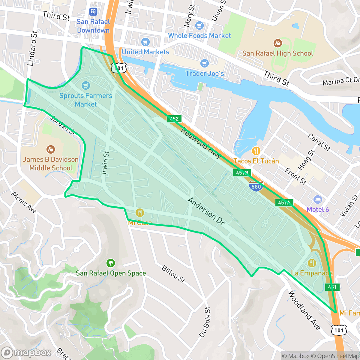
Francisco Boulevard West is a mixed-use neighborhood in San Rafael characterized by a blend of light industrial businesses and residential spaces. While the area offers excellent air quality and convenient access to local dining, it experiences significant noise levels due to its proximity to major traffic corridors.
Key Highlights
About Francisco Boulevard West
This neighborhood functions as a transition zone between commercial activity and residential living. The streetscape is defined by light industrial units, diverse dining options, and active daytime traffic, creating a unique, high-energy environment. Residents benefit from high air quality and a central location that facilitates access to the broader San Rafael area and nearby amenities.
Prospective residents should consider the trade-offs inherent in this location, particularly regarding acoustic comfort. The neighborhood experiences elevated noise levels primarily from road traffic, which may impact daily quiet. Additionally, the area faces challenges related to flood and fire safety, and families should note that local school districts are currently navigating budget constraints and performance gaps. This area is best suited for those who prioritize central access to commercial services over a quiet, suburban atmosphere.
Neighborhood Scores Across 15 Qualities
Residential and industrial structures feature mixed spacing with some clusters exhibiting tightly packed buildings and minimal buffers. This level of density is slightly higher than the San Rafael average, according to iHuus data.
Pedestrian navigation is limited by high traffic corridors and industrial blocks with inconsistent sidewalks; according to iHuus data, walkability is lower than the San Rafael average.
Standard commercial structures and modest residential clusters define the landscape, making the visual appeal lower than the San Rafael average. According to iHuus data, the area lacks the luxury amenities or large estate lots found in more upscale parts of the city.
A lack of accessible parks and green verges makes this area less suitable for dog owners compared to the rest of San Rafael. The landscape is primarily composed of industrial lots and major freeway interchanges, according to iHuus data.
A mix of open land and scattered structures defines this area, though it feels slightly more urbanized than the San Rafael average due to sprawling warehouses and a major highway junction. According to iHuus data, the landscape is characterized by low-density commercial use rather than true rural expanses.
A mix of light industrial units, suburban blocks, and scattered dining options creates a level of activity that is slightly higher than the San Rafael average. While certain pockets near major highways offer diverse eateries, the area remains largely car-dependent with limited pedestrian connectivity.
Frequent noise from nearby railroad tracks and freeway traffic makes this area louder than the typical San Rafael neighborhood. According to iHuus data, residents can expect significant acoustic disturbances due to the proximity of major transportation corridors.
Air quality remains high with infrequent instances of elevated readings, though it is slightly lower than the average for San Rafael. According to iHuus data, residents can expect a generally clear atmosphere.
Active commercial zones and light industrial units sit alongside residential areas, representing a notably higher presence of commercial activity than the San Rafael average. According to iHuus data, some sections of the neighborhood feature warehouses and maritime docks that may increase daytime traffic and noise.
Health insurance access is notably lower in this area than in the rest of San Rafael, according to iHuus data. Residents may face greater challenges accessing employer-sponsored or private coverage compared to the city average.
Voting patterns and census indicators reflect a deeply liberal political leaning, consistent with the broader San Rafael area according to iHuus data.
Residents live alongside a balanced mix of young adults, families, and older individuals. This age distribution is slightly more varied than the typical profile found across San Rafael, according to iHuus data.
Coastal high-hazard zones with potential wave action characterize this area, resulting in a significantly higher flood risk than the San Rafael average. Residents should anticipate elevated or potentially prohibitive flood insurance costs according to iHuus data.
Severe fire hazards are present in this area, representing a risk level that is slightly higher than the San Rafael average. According to iHuus data, the proximity to combustible materials requires maximum protection measures for residents.
Block-Level Insights for Francisco Boulevard West

iHuus Neighborhood Intelligence Insights
Get block-level neighborhood insights for Francisco Boulevard West
- Street-level scores — see how individual blocks compare, not just neighborhood averages
- Micro-zone boundaries — identify quiet pockets, flood boundaries, and walkable clusters before you visit
- 15 dimensions in full — walkability, noise, air quality, school quality, insurance coverage, population age profile, urban/rural index, and more
- Boundary risk alerts — know if your address sits near a block boundary where scores drop, the kind of detail no listing will ever mention
- School insights — individual school ratings and insights, not just district-level data
- Compare before you commit — side-by-side data across neighborhoods, down to block precision
No credit card required
Compare with Any Neighborhood
| Dimension | Francisco Boulevard West | Bay Islands |
|---|---|---|
| 🚶 Walkabilityavg 7.77 | ||
| 🔊 Acoustic Comfortavg 4.28 | ||
| 🤫 Privacy Indexavg 5.75 | ||
| 🎨 Visual Appealavg 7.83 | ||
| 🐕 Dog Friendlinessavg 8.65 | ||
| 🗺️ Urban-Rural Indexavg 7.61 | ||
| ✨ Neighborhood Vibeavg 4 | ||
| 🏥 Health Insurance Coverageavg 7.38 | ||
| 🌿 Air Qualityavg 9.29 | ||
| 🏭 Industrial Proximityavg 9.06 | ||
| 🌊 Flood Safetyavg 3.6 | ||
| 🗳️ Ideological Leanavg 9.8 | ||
| 👥 Population Age Profileavg 5.25 | ||
| 🔥 Fire Safetyavg 1.32 | ||
| 🏫 School Quality |
Francisco Boulevard West Rankings
School Districts Serving Francisco Boulevard West
San Rafael City Elementary School District is a solid but bifurcated organization, characterized by a mix of high-achieving 'Blue Chip' campuses and severely underperforming schools serving lower-income areas. The district demonstrates strong operational stability through successful infrastructure bonds, modernized facilities, and a rigorous shift toward evidence-based literacy instruction. While teacher quality and community sentiment remain high, the district's overall health is tempered by a persistent achievement gap, rising cost-of-living challenges for staff retention, and the need for more consistent academic rigor across all neighborhood schools.
Schools
San Rafael City High School District is currently in a state of transition, characterized by a significant performance gap between its high-performing Terra Linda campus and its struggling alternative and secondary sites. While the district is successfully executing large-scale infrastructure improvements through voter-approved bonds and showing strong outcomes in specialized English learner and environmental programs, it faces a looming $5.5 million budget shortfall and declining enrollment. The shift toward a property tax-based funding model and ongoing staff reductions suggest fiscal instability, though strong community support and modernizing facilities provide a buffer against total operational decline.
Schools
School Insights for Francisco Boulevard West
Below average outcomes; significant attendance and academic challenges.
School Insights
See what's really behind every school rating near Francisco Boulevard West
- Individual school ratings — each school's own score with outcome context, not just a district average
- Enrollment & class size data — student-to-teacher ratio and how it compares to the state average
- Full demographics breakdown — ethnicity and gender composition for every school in the enrollment zone
- Every school in the district — all schools within the enrollment boundary ranked by rating, not just the closest one
- Grade levels & benchmarks — elementary through high school, with below/above state-average flags
No credit card required