Downtown, San Rafael
Updated June 22, 2026 · 2,654 residents
Downtown San Rafael serves as a vibrant social and civic hub, defined by its exceptional walkability and rich concentration of local dining and cafes. Residents benefit from excellent air quality and convenient access to diverse recreational spaces, though the area experiences notable noise from nearby transit corridors and faces significant fire safety considerations.
Key Highlights
About Downtown
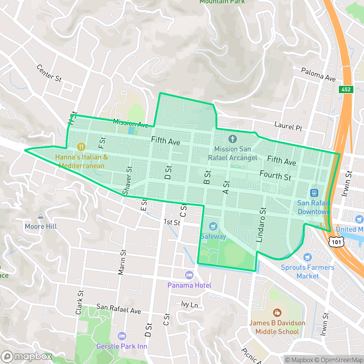
Downtown San Rafael, the historic heart of the city, originated as a site for Coast Miwok villages before the 1817 founding of Mission San Rafael Arcángel, which served as a hospital for Mission Dolores. The neighborhood’s commercial development accelerated following the arrival of the railroad in 1879, establishing Fourth Street as the primary corridor. The area features a diverse architectural legacy, ranging from the 1888 Queen Anne-style Falkirk Cultural Center to the Art Deco-inspired Rafael Film Center, which occupies the site of the former Orpheus Theater. Once the site of the county's first courthouse, the neighborhood remains the seat of Marin County government. Today, Downtown San Rafael retains its character through its preserved Victorian-era commercial buildings, the historic Boyd Gate House, and a walkable urban layout that blends its colonial roots with a modern cultural and civic identity.
The neighborhood functions as a central commercial and social core, characterized by a lively atmosphere that blends historic architecture with modern urban amenities. Its grid-based layout and pedestrian-friendly infrastructure make it easy to access local retail and services on foot. According to iHuus data, the community maintains a strongly liberal political identity and a diverse demographic profile, supported by reliable health insurance coverage and a complete absence of heavy industrial facilities.
Living in the area requires balancing its urban convenience against specific environmental factors. While residents enjoy clean air and proximity to wooded trails for dog walking, the neighborhood is subject to higher noise levels from freeway and rail traffic. Potential residents should also be aware of the increased fire hazard risk and the ongoing transitions within the local school districts, which are currently managing budget challenges and efforts to close academic achievement gaps.
Neighborhood Scores Across 15 Qualities
Residential spacing varies between dense downtown apartments and more buffered hillside estates, offering slightly more privacy than the San Rafael average. According to iHuus data, the area features a mix of tight urban lots and more spread out residential properties.
Pedestrian connectivity is excellent due to a grid-based sidewalk network and multiple bridges over the highway. This area offers significantly better access to local amenities on foot than the San Rafael average.
Large hillside homes and well-manicured properties contribute to a high level of aesthetic quality that is slightly below the city average. High-quality recreational facilities and private pools are frequently observed throughout the area according to iHuus data.
Access to wooded trails and sports fields provides ample space for pets, though overall dog friendliness is slightly below the San Rafael average. Wide grass verges and nearby parks offer safe walking environments for residents with animals.
A dense commercial core and residential blocks transition into adjacent wildland park areas. This landscape is less developed than the typical San Rafael area, featuring a blend of retail density and nearby open space according to iHuus data.
A noticeable concentration of dining and local cafes creates a much more vibrant atmosphere than the rest of San Rafael. According to iHuus data, the area features several lively blocks with diverse food options and balanced green spaces.
Frequent sounds from nearby railroad tracks and heavy traffic on adjacent freeways make this area noisier than the San Rafael average, according to iHuus data.
Air quality remains consistently high with very few pollutants detected. According to iHuus data, these levels are even cleaner than the average seen throughout San Rafael.
Residential and commercial spaces are free from large warehouses or heavy industrial facilities. This area maintains a level of cleanliness and safety similar to the rest of San Rafael.
Health insurance access is high among residents, though slightly below the average seen across San Rafael. According to iHuus data, the majority of the population maintains active coverage.
Voting patterns and census indicators show a very strong liberal leaning, which is slightly more pronounced here than in the rest of San Rafael according to iHuus data.
Residents live alongside a balanced mix of young professionals, families, and seniors. This age distribution is consistent with the broader San Rafael area, according to iHuus data.
Flood risk levels in this area remain undetermined due to a lack of detailed federal studies, though the risk is slightly higher than the San Rafael average according to iHuus data.
Fire hazard levels in this area are significantly higher than the San Rafael average, necessitating extreme protection measures. According to iHuus data, the neighborhood faces a severe risk of fire events.
Block-Level Insights for Downtown

iHuus Neighborhood Intelligence Insights
Get block-level neighborhood insights for Downtown
- Street-level scores — see how individual blocks compare, not just neighborhood averages
- Micro-zone boundaries — identify quiet pockets, flood boundaries, and walkable clusters before you visit
- 15 dimensions in full — walkability, noise, air quality, school quality, insurance coverage, population age profile, urban/rural index, and more
- Boundary risk alerts — know if your address sits near a block boundary where scores drop, the kind of detail no listing will ever mention
- School insights — individual school ratings and insights, not just district-level data
- Compare before you commit — side-by-side data across neighborhoods, down to block precision
No credit card required
Compare with Any Neighborhood
| Dimension | Downtown | Bay Islands |
|---|---|---|
| 🚶 Walkabilityavg 7.77 | ||
| 🔊 Acoustic Comfortavg 4.28 | ||
| 🤫 Privacy Indexavg 5.75 | ||
| 🎨 Visual Appealavg 7.83 | ||
| 🐕 Dog Friendlinessavg 8.65 | ||
| 🗺️ Urban-Rural Indexavg 7.61 | ||
| ✨ Neighborhood Vibeavg 4 | ||
| 🏥 Health Insurance Coverageavg 7.38 | ||
| 🌿 Air Qualityavg 9.29 | ||
| 🏭 Industrial Proximityavg 9.06 | ||
| 🌊 Flood Safetyavg 3.6 | ||
| 🗳️ Ideological Leanavg 9.8 | ||
| 👥 Population Age Profileavg 5.25 | ||
| 🔥 Fire Safetyavg 1.32 | ||
| 🏫 School Quality |
Downtown Rankings
School Districts Serving Downtown
San Rafael City Elementary School District is a solid but bifurcated organization, characterized by a mix of high-achieving 'Blue Chip' campuses and severely underperforming schools serving lower-income areas. The district demonstrates strong operational stability through successful infrastructure bonds, modernized facilities, and a rigorous shift toward evidence-based literacy instruction. While teacher quality and community sentiment remain high, the district's overall health is tempered by a persistent achievement gap, rising cost-of-living challenges for staff retention, and the need for more consistent academic rigor across all neighborhood schools.
Schools
San Rafael City High School District is currently in a state of transition, characterized by a significant performance gap between its high-performing Terra Linda campus and its struggling alternative and secondary sites. While the district is successfully executing large-scale infrastructure improvements through voter-approved bonds and showing strong outcomes in specialized English learner and environmental programs, it faces a looming $5.5 million budget shortfall and declining enrollment. The shift toward a property tax-based funding model and ongoing staff reductions suggest fiscal instability, though strong community support and modernizing facilities provide a buffer against total operational decline.
Schools
School Insights for Downtown
Below average outcomes; significant attendance and academic challenges.
School Insights
See what's really behind every school rating near Downtown
- Individual school ratings — each school's own score with outcome context, not just a district average
- Enrollment & class size data — student-to-teacher ratio and how it compares to the state average
- Full demographics breakdown — ethnicity and gender composition for every school in the enrollment zone
- Every school in the district — all schools within the enrollment boundary ranked by rating, not just the closest one
- Grade levels & benchmarks — elementary through high school, with below/above state-average flags
No credit card required