Dominican/Black Canyon, San Rafael
Updated June 22, 2026 · 3,435 residents
Dominican/Black Canyon is a visually striking neighborhood defined by grand estates, lush tree canopies, and direct access to scenic wilderness areas. While the area offers exceptional air quality and high dog friendliness, residents should expect notable noise levels from nearby road traffic and a car-dependent lifestyle.
Key Highlights
About Dominican/Black Canyon
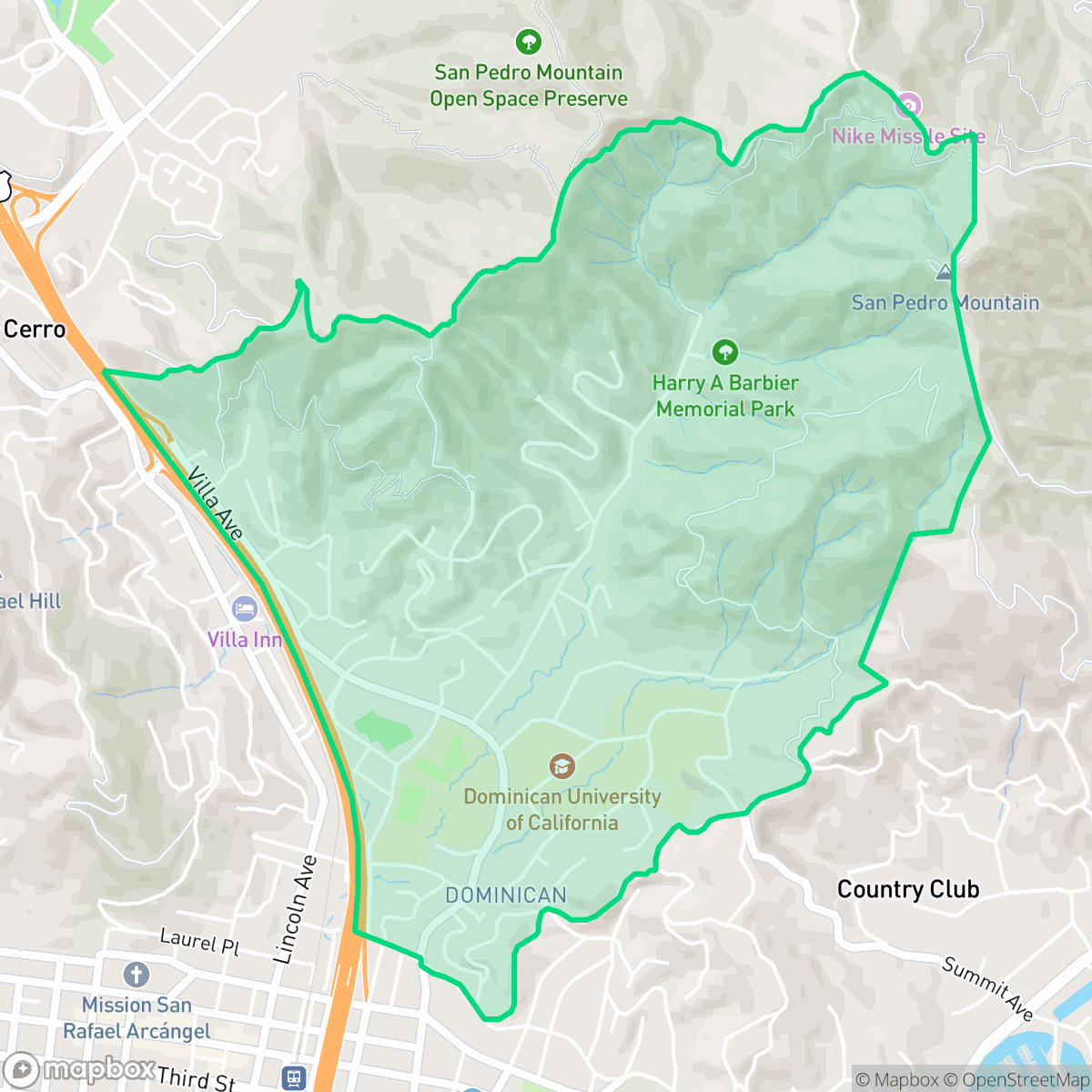
Originally known as Magnolia Valley, the Dominican/Black Canyon neighborhood in San Rafael began in 1871 when developer William T. Coleman purchased 1,100 acres and planted thousands of trees, including its namesake magnolias. In 1888, Coleman sold and donated land to the Dominican Sisters, who established a boarding school that evolved into the Dominican University of California, anchoring the neighborhood since 1890. Prominent families soon built grand estates nearby, creating an architecturally diverse enclave featuring Queen Anne Victorians, Mediterranean Revivals, and Craftsman bungalows along tree-lined streets like Grand, Magnolia, and Acacia. The neighborhood's eastern edge transitions into the rugged, scenic wilderness of Black Canyon, which serves as a vital ecological corridor and a gateway to Harry Barbier Memorial Park and China Camp State Park.
Dominican/Black Canyon is a hillside enclave characterized by large custom homes, private recreational amenities such as tennis courts and pools, and a strong connection to the natural landscape. The area maintains a high degree of visual appeal and provides excellent air quality, making it a desirable setting for those who prioritize a quiet, residential environment over urban density. The neighborhood fosters a serene atmosphere that emphasizes privacy and aesthetic beauty, with its layout effectively buffering residents from industrial hazards.
This community is best suited for those who value proximity to nature and a low-density living environment, though it requires a reliance on personal vehicles for daily errands. While the area offers a peaceful retreat, prospective residents should be aware of the acoustic impact of nearby highway traffic and the significant fire safety risks associated with its hillside location. The community benefits from high health insurance coverage and access to local educational institutions like Coleman Elementary.
Neighborhood Scores Across 15 Qualities
Housing layouts vary from tight downtown lots to large hillside estates with significant vegetation buffers. According to iHuus data, this neighborhood offers slightly more privacy and spacing between neighbors than the San Rafael average.
Pedestrian connectivity is facilitated by a grid system and multiple bridges over the highway, though walkability is slightly lower than the San Rafael average. Residents benefit from wide, tree-lined streets and direct access to local park facilities.
Large custom estates and private recreational amenities, such as pools and tennis courts, create a highly polished landscape that is more visually impressive than the San Rafael average. According to iHuus data, the presence of expansive hillside properties and manicured grounds contributes to a premium aesthetic throughout the area.
Abundant wooded trails, sports fields, and large public parks provide excellent opportunities for pet exercise. This access to open space and walking areas is slightly higher than the San Rafael average, according to iHuus data.
Scattered homes and significant tree canopy define this area, which offers a more open landscape than much of San Rafael. Residents can expect a blend of dense suburban hillsides and proximity to wildland park areas, according to iHuus data.
Active pockets of dining and social hubs coexist with much quieter, low-density residential areas. This neighborhood offers a higher level of local activity than the San Rafael average, though much of the area remains car-dependent.
Frequent noise from nearby freeway and railroad activity makes this area significantly louder than the San Rafael average. Residents should expect consistent auditory disturbances from heavy transit corridors.
Air quality remains consistently high with minimal health concerns, performing even better than the San Rafael average according to iHuus data.
Industrial presence is nonexistent here, as the area consists entirely of residential and recreational spaces. This neighborhood offers even fewer industrial hazards or warehouses than the San Rafael average, according to iHuus data.
Health insurance access among residents is notably higher than the San Rafael average, according to iHuus data.
Voting patterns and census indicators reflect a deeply liberal political landscape, which is consistent with the broader San Rafael area. According to iHuus data, this neighborhood's ideological lean aligns with the city average.
Residents live alongside a diverse mix of young adults, families, and older individuals. This demographic spread is largely consistent with the broader San Rafael area according to iHuus data.
Flood risk levels in this area are currently undetermined due to a lack of detailed FEMA studies; however, the level of uncertainty is higher than the average for San Rafael according to iHuus data.
Extreme wildfire hazards are present in this area, representing a significantly higher risk level than the San Rafael average according to iHuus data. Residents should prioritize maximum fire protection measures and emergency preparedness.
Block-Level Insights for Dominican/Black Canyon

iHuus Neighborhood Intelligence Insights
Get block-level neighborhood insights for Dominican/Black Canyon
- Street-level scores — see how individual blocks compare, not just neighborhood averages
- Micro-zone boundaries — identify quiet pockets, flood boundaries, and walkable clusters before you visit
- 15 dimensions in full — walkability, noise, air quality, school quality, insurance coverage, population age profile, urban/rural index, and more
- Boundary risk alerts — know if your address sits near a block boundary where scores drop, the kind of detail no listing will ever mention
- School insights — individual school ratings and insights, not just district-level data
- Compare before you commit — side-by-side data across neighborhoods, down to block precision
No credit card required
Compare with Any Neighborhood
| Dimension | Dominican/Black Canyon | Bay Islands |
|---|---|---|
| 🚶 Walkabilityavg 7.77 | ||
| 🔊 Acoustic Comfortavg 4.28 | ||
| 🤫 Privacy Indexavg 5.75 | ||
| 🎨 Visual Appealavg 7.83 | ||
| 🐕 Dog Friendlinessavg 8.65 | ||
| 🗺️ Urban-Rural Indexavg 7.61 | ||
| ✨ Neighborhood Vibeavg 4 | ||
| 🏥 Health Insurance Coverageavg 7.38 | ||
| 🌿 Air Qualityavg 9.29 | ||
| 🏭 Industrial Proximityavg 9.06 | ||
| 🌊 Flood Safetyavg 3.6 | ||
| 🗳️ Ideological Leanavg 9.8 | ||
| 👥 Population Age Profileavg 5.25 | ||
| 🔥 Fire Safetyavg 1.32 | ||
| 🏫 School Quality |
Dominican/Black Canyon Rankings
School Districts Serving Dominican/Black Canyon
San Rafael City Elementary School District is a solid but bifurcated organization, characterized by a mix of high-achieving 'Blue Chip' campuses and severely underperforming schools serving lower-income areas. The district demonstrates strong operational stability through successful infrastructure bonds, modernized facilities, and a rigorous shift toward evidence-based literacy instruction. While teacher quality and community sentiment remain high, the district's overall health is tempered by a persistent achievement gap, rising cost-of-living challenges for staff retention, and the need for more consistent academic rigor across all neighborhood schools.
Schools
San Rafael City High School District is currently in a state of transition, characterized by a significant performance gap between its high-performing Terra Linda campus and its struggling alternative and secondary sites. While the district is successfully executing large-scale infrastructure improvements through voter-approved bonds and showing strong outcomes in specialized English learner and environmental programs, it faces a looming $5.5 million budget shortfall and declining enrollment. The shift toward a property tax-based funding model and ongoing staff reductions suggest fiscal instability, though strong community support and modernizing facilities provide a buffer against total operational decline.
Schools
School Insights for Dominican/Black Canyon
Below average outcomes; significant attendance and academic challenges.
School Insights
See what's really behind every school rating near Dominican/Black Canyon
- Individual school ratings — each school's own score with outcome context, not just a district average
- Enrollment & class size data — student-to-teacher ratio and how it compares to the state average
- Full demographics breakdown — ethnicity and gender composition for every school in the enrollment zone
- Every school in the district — all schools within the enrollment boundary ranked by rating, not just the closest one
- Grade levels & benchmarks — elementary through high school, with below/above state-average flags
No credit card required