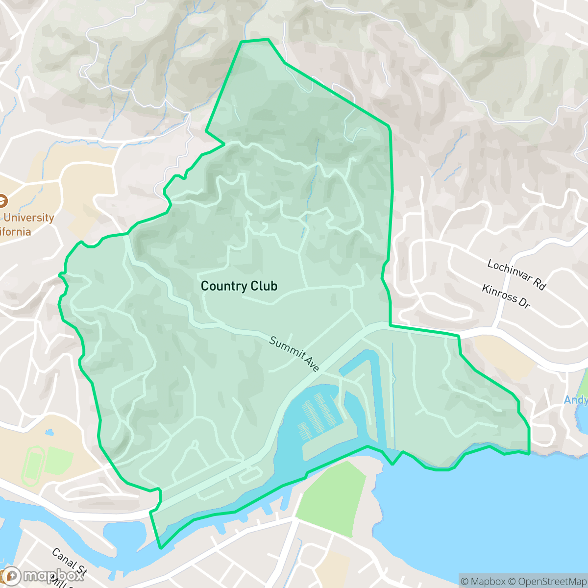
Country Club, San Rafael
Updated June 22, 2026 · 1,896 residents
The Country Club neighborhood offers a tranquil, semi-rural atmosphere defined by its upscale custom estates and mature greenery. Residents benefit from exceptional walkability and quiet streets, though the area requires careful attention to significant wildfire and coastal flood risks.
Key Highlights
About Country Club
The Country Club neighborhood in San Rafael occupies the site of the original Marin Golf and Country Club, established in the early 1900s by San Francisco Mayor 'Sunny Jim' Rolph Jr. and George Hind. The club featured a nine-hole golf course and a saltwater plunge pool, but faced insolvency following the Great Depression. During World War II, the property served as a base for a horse-drawn field artillery unit. In 1948, developer Herbert Crocker acquired the 54-acre site and subdivided it into the luxury residential area seen today. The neighborhood’s historical character is anchored by the original clubhouse, which remains a private residence at 75 Margarita Drive. Known for its rolling hills, mature trees, and views of Mt. Tamalpais and San Pablo Bay, the area transitioned from a recreational destination into a secluded, high-end residential community.
The area is characterized by its quiet, upscale residential atmosphere, featuring a mix of custom estates and varied housing densities nestled among mature trees. According to iHuus data, the neighborhood provides a peaceful, semi-rural living environment that maintains high walkability, allowing residents easy access to local green corridors and pedestrian paths. The community remains purely residential, free from industrial activity, and maintains a deeply liberal political leaning consistent with the broader San Rafael region.
Prospective residents should note that the neighborhood faces significant environmental challenges, specifically regarding extreme wildfire hazards and coastal flood risks. While the local school districts offer modernized facilities and strong community support, they are currently navigating fiscal transitions and performance gaps. Because the neighborhood is primarily a quiet suburban retreat, daily errands often require a vehicle, although the internal street network is well-designed for pedestrian movement.
Neighborhood Scores Across 15 Qualities
Residential spacing varies from tightly packed shared-wall structures to large lots with significant vegetation. This area features less privacy buffer than the San Rafael average, according to iHuus data.
Extensive sidewalk networks and pedestrian-priority crossings make navigating the area on foot easy. According to iHuus data, this neighborhood offers superior connectivity to commercial zones and parks compared to the rest of San Rafael.
Large custom estates with private amenities like pools and tennis courts define much of the area, though the overall visual quality sits slightly below the San Rafael average. According to iHuus data, the landscape includes a mix of exclusive properties and higher density housing with shared facilities.
Ample walking space is provided by large public parks, sports fields, and wooded residential fringes. While the area offers many connected green corridors and safe paths, it is slightly less dog friendly than the San Rafael average.
Frequent open land and woodland provide a more suburban atmosphere than the more rural parts of the city. Residents will find a mix of dense hillside greenery and scattered homes nestled among trees.
Low-density residential streets and significant green space create a tranquil environment that is slightly more active than the San Rafael average. While a few local social spots exist, the layout remains largely car-dependent with limited commercial density.
Acoustic levels are notably lower than the San Rafael average, characterized by infrequent traffic and minimal distant train noise according to iHuus data.
Air quality remains mostly clean with rare instances of elevated readings; however, levels are slightly lower than the San Rafael average according to iHuus data.
No warehouses, industrial facilities, or hazardous sites are present in this area. This neighborhood is even more free of industrial proximity than the San Rafael average, consisting entirely of residential and recreational spaces according to iHuus data.
Health insurance enrollment in this area is lower than the San Rafael average, according to iHuus data.
Voting patterns and census indicators show a deeply liberal political leaning, which is consistent with the broader San Rafael area according to iHuus data.
Residents live alongside a diverse mix of young adults, families, and older individuals. This demographic spread is slightly lower than the San Rafael average, according to iHuus data.
Located in a coastal high-hazard zone with significant wave action, this area faces much higher flood risks than the rest of San Rafael. Residents should anticipate elevated or potentially prohibitive flood insurance costs according to iHuus data.
Fire hazard levels in this area are significantly higher than the San Rafael average, necessitating rigorous wildfire preparedness and protection measures. According to iHuus data, the landscape presents an extreme risk for residents.
Block-Level Insights for Country Club

iHuus Neighborhood Intelligence Insights
Get block-level neighborhood insights for Country Club
- Street-level scores — see how individual blocks compare, not just neighborhood averages
- Micro-zone boundaries — identify quiet pockets, flood boundaries, and walkable clusters before you visit
- 15 dimensions in full — walkability, noise, air quality, school quality, insurance coverage, population age profile, urban/rural index, and more
- Boundary risk alerts — know if your address sits near a block boundary where scores drop, the kind of detail no listing will ever mention
- School insights — individual school ratings and insights, not just district-level data
- Compare before you commit — side-by-side data across neighborhoods, down to block precision
No credit card required
Compare with Any Neighborhood
| Dimension | Country Club | Bay Islands |
|---|---|---|
| 🚶 Walkabilityavg 7.77 | ||
| 🔊 Acoustic Comfortavg 4.28 | ||
| 🤫 Privacy Indexavg 5.75 | ||
| 🎨 Visual Appealavg 7.83 | ||
| 🐕 Dog Friendlinessavg 8.65 | ||
| 🗺️ Urban-Rural Indexavg 7.61 | ||
| ✨ Neighborhood Vibeavg 4 | ||
| 🏥 Health Insurance Coverageavg 7.38 | ||
| 🌿 Air Qualityavg 9.29 | ||
| 🏭 Industrial Proximityavg 9.06 | ||
| 🌊 Flood Safetyavg 3.6 | ||
| 🗳️ Ideological Leanavg 9.8 | ||
| 👥 Population Age Profileavg 5.25 | ||
| 🔥 Fire Safetyavg 1.32 | ||
| 🏫 School Quality |
Country Club Rankings
School Districts Serving Country Club
San Rafael City Elementary School District is a solid but bifurcated organization, characterized by a mix of high-achieving 'Blue Chip' campuses and severely underperforming schools serving lower-income areas. The district demonstrates strong operational stability through successful infrastructure bonds, modernized facilities, and a rigorous shift toward evidence-based literacy instruction. While teacher quality and community sentiment remain high, the district's overall health is tempered by a persistent achievement gap, rising cost-of-living challenges for staff retention, and the need for more consistent academic rigor across all neighborhood schools.
Schools
San Rafael City High School District is currently in a state of transition, characterized by a significant performance gap between its high-performing Terra Linda campus and its struggling alternative and secondary sites. While the district is successfully executing large-scale infrastructure improvements through voter-approved bonds and showing strong outcomes in specialized English learner and environmental programs, it faces a looming $5.5 million budget shortfall and declining enrollment. The shift toward a property tax-based funding model and ongoing staff reductions suggest fiscal instability, though strong community support and modernizing facilities provide a buffer against total operational decline.
Schools
School Insights for Country Club
Below average outcomes; significant attendance and academic challenges.
School Insights
See what's really behind every school rating near Country Club
- Individual school ratings — each school's own score with outcome context, not just a district average
- Enrollment & class size data — student-to-teacher ratio and how it compares to the state average
- Full demographics breakdown — ethnicity and gender composition for every school in the enrollment zone
- Every school in the district — all schools within the enrollment boundary ranked by rating, not just the closest one
- Grade levels & benchmarks — elementary through high school, with below/above state-average flags
No credit card required