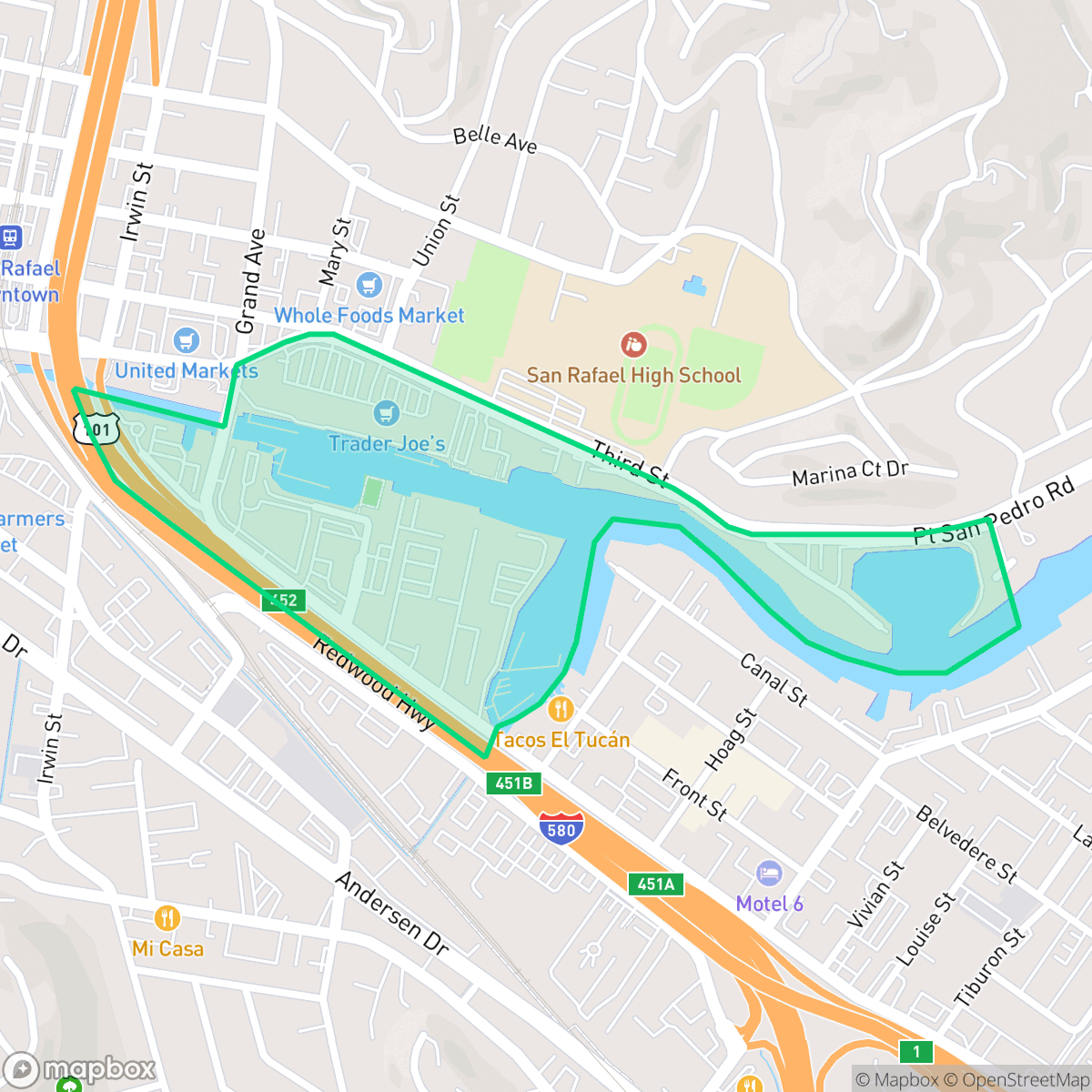
Canal Waterfront, San Rafael
Updated June 22, 2026 · 388 residents
Canal Waterfront is a culturally vibrant area in San Rafael defined by its maritime heritage and diverse residential landscape. While the neighborhood offers high walkability and excellent air quality, residents should be prepared for significant noise from nearby road traffic and a dense, urban environment.
Key Highlights
About Canal Waterfront
The Canal Waterfront neighborhood in San Rafael has a history deeply tied to its maritime and industrial roots. Historically occupied by the Coast Miwok, the area evolved in the late 19th and early 20th centuries as a vital shipping canal and a popular recreational hub, home to the historic San Rafael Salt Water Baths. In the post-World War II era, the neighborhood transitioned with the construction of multi-family housing and industrial developments. While the waterfront features 1960s canal-front homes and later developments like Spinnaker Point, the broader Canal Area became a crucial immigrant gateway. In the late 1970s, it welcomed African American renters, followed by Vietnamese refugees in the 1980s, and eventually a vibrant, predominantly Latino community. Today, landmarks like Pickleweed Park and the Al Boro Community Center anchor this culturally rich waterfront neighborhood.
The neighborhood functions as a dynamic mix of residential, industrial, and recreational spaces, anchored by the community-focused amenities of Pickleweed Park and the Al Boro Community Center. Its physical layout reflects a transition between mid-century waterfront homes and modern multi-family developments, creating a high-energy atmosphere that stands out for its liveliness compared to the broader San Rafael area. The area features a variety of local dining options along its commercial corridors, catering to a diverse population that has shaped the district into a unique cultural gateway.
Prospective residents should weigh the benefits of the neighborhood's central location and high air quality against notable livability trade-offs. The area experiences high levels of ambient noise primarily due to proximity to major roadways, and it faces challenges regarding flood and fire safety. With limited health insurance coverage and a complex educational landscape in the surrounding school districts, the area is best suited for those who prioritize proximity to community resources, cultural diversity, and an active, urban-adjacent lifestyle over quiet, suburban seclusion.
Neighborhood Scores Across 15 Qualities
Residential and industrial structures feature mixed spacing with some areas having minimal buffers between neighbors. According to iHuus data, the level of separation between properties is lower than the San Rafael average.
Pedestrian navigation can be difficult and dangerous near industrial blocks and high-traffic freeway corridors due to inconsistent sidewalks. While some residential streets remain quiet enough for walking, the area is notably less walkable than the San Rafael average.
Residential and commercial landscapes feature standard structures and modest clusters. This area presents a less polished visual profile than the San Rafael average according to iHuus data.
Industrial lots and heavy freeway infrastructure dominate the area, leaving very little access to green verges or public parks. According to iHuus data, dog friendliness is significantly lower than the San Rafael average due to the lack of accessible outdoor space.
Low-density industrial zones and large commercial warehouses dominate the landscape, making this area slightly more urbanized than the San Rafael average. According to iHuus data, the presence of major highway junctions and sprawling logistics centers reduces the amount of open woodland found elsewhere in the city.
Diverse dining and light industrial pockets create a more active environment than the San Rafael average. While many amenities are available, the car-dependent layout and proximity to major highways limit pedestrian activity.
Constant sound from the nearby freeway and railroad tracks makes this area significantly louder than the San Rafael average. According to iHuus data, residents should expect frequent acoustic disturbances throughout the day.
Air quality is generally good with infrequent periods of elevated readings, though it is slightly lower than the San Rafael average according to iHuus data.
Active maritime docks and warehouse yards contribute to a more industrial character than most of San Rafael. According to iHuus data, this presence of commercial traffic and large truck yards creates a distinct mixed-use environment alongside residential pockets.
Health insurance access is significantly lower in this area than in the rest of San Rafael. According to iHuus data, a small portion of the local population maintains medical coverage.
Voting patterns and census indicators reflect a deeply liberal community that aligns with the broader political landscape of San Rafael.
A varied mix of young adults, families, and seniors resides here, representing a slightly less even age distribution than the San Rafael average according to iHuus data.
Located in a coastal high-hazard zone with potential wave action, this area carries a significantly higher flood risk than the San Rafael average. Residents should expect elevated or potentially prohibitive flood insurance costs according to iHuus data.
Block-Level Insights for Canal Waterfront

iHuus Neighborhood Intelligence Insights
Get block-level neighborhood insights for Canal Waterfront
- Street-level scores — see how individual blocks compare, not just neighborhood averages
- Micro-zone boundaries — identify quiet pockets, flood boundaries, and walkable clusters before you visit
- 15 dimensions in full — walkability, noise, air quality, school quality, insurance coverage, population age profile, urban/rural index, and more
- Boundary risk alerts — know if your address sits near a block boundary where scores drop, the kind of detail no listing will ever mention
- School insights — individual school ratings and insights, not just district-level data
- Compare before you commit — side-by-side data across neighborhoods, down to block precision
No credit card required
Compare with Any Neighborhood
| Dimension | Canal Waterfront | Bay Islands |
|---|---|---|
| 🚶 Walkabilityavg 7.77 | ||
| 🔊 Acoustic Comfortavg 4.28 | ||
| 🤫 Privacy Indexavg 5.75 | ||
| 🎨 Visual Appealavg 7.83 | ||
| 🐕 Dog Friendlinessavg 8.65 | ||
| 🗺️ Urban-Rural Indexavg 7.61 | ||
| ✨ Neighborhood Vibeavg 4 | ||
| 🏥 Health Insurance Coverageavg 7.38 | ||
| 🌿 Air Qualityavg 9.29 | ||
| 🏭 Industrial Proximityavg 9.06 | ||
| 🌊 Flood Safetyavg 3.6 | ||
| 🗳️ Ideological Leanavg 9.8 | ||
| 👥 Population Age Profileavg 5.25 | ||
| 🔥 Fire Safetyavg 1.32 | ||
| 🏫 School Quality |
Canal Waterfront Rankings
School Districts Serving Canal Waterfront
San Rafael City Elementary School District is a solid but bifurcated organization, characterized by a mix of high-achieving 'Blue Chip' campuses and severely underperforming schools serving lower-income areas. The district demonstrates strong operational stability through successful infrastructure bonds, modernized facilities, and a rigorous shift toward evidence-based literacy instruction. While teacher quality and community sentiment remain high, the district's overall health is tempered by a persistent achievement gap, rising cost-of-living challenges for staff retention, and the need for more consistent academic rigor across all neighborhood schools.
Schools
San Rafael City High School District is currently in a state of transition, characterized by a significant performance gap between its high-performing Terra Linda campus and its struggling alternative and secondary sites. While the district is successfully executing large-scale infrastructure improvements through voter-approved bonds and showing strong outcomes in specialized English learner and environmental programs, it faces a looming $5.5 million budget shortfall and declining enrollment. The shift toward a property tax-based funding model and ongoing staff reductions suggest fiscal instability, though strong community support and modernizing facilities provide a buffer against total operational decline.
Schools
School Insights for Canal Waterfront
Below average outcomes; significant attendance and academic challenges.
School Insights
See what's really behind every school rating near Canal Waterfront
- Individual school ratings — each school's own score with outcome context, not just a district average
- Enrollment & class size data — student-to-teacher ratio and how it compares to the state average
- Full demographics breakdown — ethnicity and gender composition for every school in the enrollment zone
- Every school in the district — all schools within the enrollment boundary ranked by rating, not just the closest one
- Grade levels & benchmarks — elementary through high school, with below/above state-average flags
No credit card required