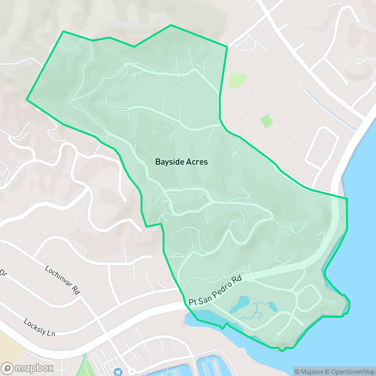
Bayside Acres, San Rafael
Updated June 22, 2026 · 419 residents
Bayside Acres is a quiet, upscale residential enclave in San Rafael characterized by its semi-rural atmosphere and scenic woodlands. Residents enjoy exceptionally clean air and a peaceful environment, though the area is subject to persistent background noise from nearby traffic and requires awareness of local environmental risks.
Key Highlights
About Bayside Acres
Bayside Acres, an unincorporated residential community in San Rafael, was established on land originally part of the Mexican land grant Rancho Santa Margarita, San Pedro y Las Gallinas. The subdivision was created from former ranch land by the Mount Venice Company, with original maps filed in 1911 and 1913. Unlike neighboring developments on the Point San Pedro Road peninsula that involved extensive marshland filling in the mid-20th century, Bayside Acres represents an earlier era of residential planning. The neighborhood association, formed alongside the subdivision's creation, reflects the area's long-standing identity as a distinct residential enclave.
This neighborhood offers a secluded, purely residential setting defined by its spacious properties and well-maintained streetscapes. The landscape is marked by a semi-rural feel, with homes nestled among trees and open green spaces that provide a serene escape from the bustle of urban life. With high levels of health insurance coverage and an age-diverse population, the community maintains a stable and polished aesthetic that attracts those seeking a quiet, nature-oriented lifestyle.
Neighborhood Scores Across 15 Qualities
Residential spacing is mixed, offering some buffer between neighbors that is slightly higher than the San Rafael average according to iHuus data.
Sidewalks are available on one side of the street and crossings are considered safe; however, walkability is slightly lower than the San Rafael average according to iHuus data.
Large homes and premium amenities contribute to a landscape that is more visually polished than the San Rafael average. According to iHuus data, the area is characterized by spacious properties and well-maintained streetscapes.
Connected green spaces and wide, low-traffic paths provide suitable environments for pet owners. While these features offer quality walking opportunities, the area is slightly less dog-friendly than the San Rafael average.
Frequent open lands and scattered homes among woodlands define this area. This sense of openness is slightly more pronounced here than in the rest of San Rafael, according to iHuus data.
Low density housing and significant open space create a peaceful environment with very little commercial activity. This area is noticeably more subdued than the San Rafael average, offering a remote atmosphere with few local businesses nearby.
Local traffic from nearby busy streets creates a persistent background noise. This level of acoustic activity is slightly higher than the average found across San Rafael, according to iHuus data.
Air quality in this area is consistently excellent and remains notably higher than the San Rafael average. According to iHuus data, residents can expect minimal pollutants and very little health risk from airborne particulates.
Industrial facilities and warehouses are entirely absent from this area, offering a strictly residential environment that is more secluded than the San Rafael average. According to iHuus data, the neighborhood consists only of homes and open green spaces with no detected hazard sites.
Health insurance coverage among residents is notably higher than the San Rafael average, according to iHuus data.
Voting patterns and census indicators show a deeply liberal political leaning, which is consistent with the broader San Rafael area according to iHuus data.
Residents live alongside a varied demographic of young adults, families, and seniors. This population spread is more balanced than the average seen throughout San Rafael, according to iHuus data.
Properties in this area are situated within a designated floodplain, which carries a higher risk of flooding than most of San Rafael. Residents should be aware that flood insurance is typically required for homes in this zone according to iHuus data.
Fire hazard levels are significantly higher than the San Rafael average, necessitating enhanced local mitigation and preparedness. According to iHuus data, the area presents a substantial risk of wildfire activity.
Block-Level Insights for Bayside Acres

iHuus Neighborhood Intelligence Insights
Get block-level neighborhood insights for Bayside Acres
- Street-level scores — see how individual blocks compare, not just neighborhood averages
- Micro-zone boundaries — identify quiet pockets, flood boundaries, and walkable clusters before you visit
- 15 dimensions in full — walkability, noise, air quality, school quality, insurance coverage, population age profile, urban/rural index, and more
- Boundary risk alerts — know if your address sits near a block boundary where scores drop, the kind of detail no listing will ever mention
- School insights — individual school ratings and insights, not just district-level data
- Compare before you commit — side-by-side data across neighborhoods, down to block precision
No credit card required
Compare with Any Neighborhood
| Dimension | Bayside Acres | Bay Islands |
|---|---|---|
| 🚶 Walkabilityavg 7.77 | ||
| 🔊 Acoustic Comfortavg 4.28 | ||
| 🤫 Privacy Indexavg 5.75 | ||
| 🎨 Visual Appealavg 7.83 | ||
| 🐕 Dog Friendlinessavg 8.65 | ||
| 🗺️ Urban-Rural Indexavg 7.61 | ||
| ✨ Neighborhood Vibeavg 4 | ||
| 🏥 Health Insurance Coverageavg 7.38 | ||
| 🌿 Air Qualityavg 9.29 | ||
| 🏭 Industrial Proximityavg 9.06 | ||
| 🌊 Flood Safetyavg 3.6 | ||
| 🗳️ Ideological Leanavg 9.8 | ||
| 👥 Population Age Profileavg 5.25 | ||
| 🔥 Fire Safetyavg 1.32 | ||
| 🏫 School Quality |
Bayside Acres Rankings
School Districts Serving Bayside Acres
San Rafael City Elementary School District is a solid but bifurcated organization, characterized by a mix of high-achieving 'Blue Chip' campuses and severely underperforming schools serving lower-income areas. The district demonstrates strong operational stability through successful infrastructure bonds, modernized facilities, and a rigorous shift toward evidence-based literacy instruction. While teacher quality and community sentiment remain high, the district's overall health is tempered by a persistent achievement gap, rising cost-of-living challenges for staff retention, and the need for more consistent academic rigor across all neighborhood schools.
Schools
San Rafael City High School District is currently in a state of transition, characterized by a significant performance gap between its high-performing Terra Linda campus and its struggling alternative and secondary sites. While the district is successfully executing large-scale infrastructure improvements through voter-approved bonds and showing strong outcomes in specialized English learner and environmental programs, it faces a looming $5.5 million budget shortfall and declining enrollment. The shift toward a property tax-based funding model and ongoing staff reductions suggest fiscal instability, though strong community support and modernizing facilities provide a buffer against total operational decline.
Schools
School Insights for Bayside Acres
Below average outcomes; significant attendance and academic challenges.
School Insights
See what's really behind every school rating near Bayside Acres
- Individual school ratings — each school's own score with outcome context, not just a district average
- Enrollment & class size data — student-to-teacher ratio and how it compares to the state average
- Full demographics breakdown — ethnicity and gender composition for every school in the enrollment zone
- Every school in the district — all schools within the enrollment boundary ranked by rating, not just the closest one
- Grade levels & benchmarks — elementary through high school, with below/above state-average flags
No credit card required