Mission Valley West, San Diego
Updated June 22, 2026 · 4,753 residents
Mission Valley West serves as a major commercial and transit hub, anchored by the expansive Fashion Valley Mall and the historic Hotel Circle. While the area offers high convenience and access to pet-friendly green spaces, residents face significant noise from nearby highway traffic and live in a high-density environment.
Key Highlights
About Mission Valley West
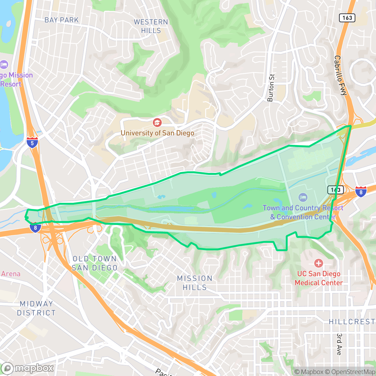
Divided from Mission Valley East by State Route 163, Mission Valley West in San Diego spans west to Interstate 5. Historically, the western end of the valley was home to the Kumeyaay village of Cosoy and served as the 1769 site of California’s first Spanish mission and presidio before they relocated. For over a century, the area remained agricultural, dominated by dairy and vegetable farms. Modern transformation began in the 1950s with the rise of mid-century "garden motels" along the Interstate 8 corridor, establishing the historic Hotel Circle. In 1957, Westgate Park was constructed here as a baseball stadium for the minor-league San Diego Padres; it was later demolished and replaced in 1969 by the open-air Fashion Valley Mall, which remains a signature regional landmark alongside the San Diego River.
Positioned between Interstate 5 and State Route 163, this central neighborhood functions as a primary retail and transit artery for San Diego. It features a dense mix of multi-family apartment complexes and townhomes, complemented by convenient access to local dining and regional shopping centers. The presence of the San Diego River and nearby canyon greenbelts provides essential outdoor space, making it a functional choice for those who prioritize proximity to urban amenities and major thoroughfares.
Prospective residents should note that the area is characterized by high-density living with limited privacy between residential units. Due to its location along major freeway corridors, acoustic comfort is a significant concern, with road traffic contributing to elevated noise levels. While the neighborhood offers decent walkability within specific residential clusters, it remains largely car-dependent for broader travel. It is best suited for individuals who value central connectivity and access to diverse retail over quiet, low-density suburban living.
Neighborhood Scores Across 15 Qualities
Housing density is slightly higher than the San Diego average, featuring a mix of shared-wall apartments and townhomes alongside detached homes with modest separation. Residents can expect varying levels of buffer between neighbors depending on the specific street or complex.
Pedestrian connectivity is reliable within residential clusters and near major roads due to consistent sidewalks and safe crossings, though overall walkability is slightly below the San Diego average.
Residential views range from upscale homes with manicured landscaping to modern, medium-density apartment complexes. This visual diversity aligns with the city average for San Diego.
Expansive canyon parks and connected greenbelts offer significant space for walking dogs. According to iHuus data, the availability of shaded paths and grassy areas is notably higher than the San Diego average.
A combination of industrial zones and dense suburban housing defines the area, providing a landscape that is roughly comparable to the city average. Large commercial blocks and highway interchanges exist alongside significant green spaces and multi-family residential clusters, according to iHuus data.
Diverse dining and social hubs provide a more active atmosphere than the city average. While many local eateries and coffee shops are accessible, the neighborhood layout remains largely car-dependent due to nearby highway corridors and industrial units.
Frequent noise from nearby freeways and railroad tracks characterizes this area. According to iHuus data, acoustic comfort is notably lower than the San Diego average.
Air quality levels fluctuate between acceptable and unhealthy, which may cause occasional concern for sensitive groups. According to iHuus data, these conditions are slightly below the San Diego average.
Heavy industry and large-scale warehouses are largely absent from the residential core, although some office parks and logistics hubs are located toward the eastern edge. This area maintains a significantly lower concentration of industrial activity compared to the San Diego average.
Health insurance enrollment is very high in this area, significantly exceeding the San Diego average according to iHuus data.
Voting patterns and census indicators show a predominantly liberal political leaning that is more pronounced than the San Diego city average. This political profile is reflected in local demographic trends according to iHuus data.
Residents live alongside a balanced mix of young professionals, families, and seniors. This demographic spread is more varied than the average found across San Diego, according to iHuus data.
Significant flood risk exists here due to proximity to the 100-year floodplain; according to iHuus data, this level of vulnerability is higher than the San Diego average and may necessitate flood insurance.
Extreme fire hazards are present in this area, representing a significantly higher risk than the San Diego average. Residents should be aware of the critical need for maximum fire protection measures and emergency preparedness.
Block-Level Insights for Mission Valley West

iHuus Neighborhood Intelligence Insights
Get block-level neighborhood insights for Mission Valley West
- Street-level scores — see how individual blocks compare, not just neighborhood averages
- Micro-zone boundaries — identify quiet pockets, flood boundaries, and walkable clusters before you visit
- 15 dimensions in full — walkability, noise, air quality, school quality, insurance coverage, population age profile, urban/rural index, and more
- Boundary risk alerts — know if your address sits near a block boundary where scores drop, the kind of detail no listing will ever mention
- School insights — individual school ratings and insights, not just district-level data
- Compare before you commit — side-by-side data across neighborhoods, down to block precision
No credit card required
Compare with Any Neighborhood
| Dimension | Mission Valley West | Adams North |
|---|---|---|
| 🚶 Walkabilityavg 8.58 | ||
| 🔊 Acoustic Comfortavg 3.33 | ||
| 🤫 Privacy Indexavg 4.87 | ||
| 🎨 Visual Appealavg 6.85 | ||
| 🐕 Dog Friendlinessavg 6.91 | ||
| 🗺️ Urban-Rural Indexavg 6.6 | ||
| ✨ Neighborhood Vibeavg 5.12 | ||
| 🏥 Health Insurance Coverageavg 7.53 | ||
| 🌿 Air Qualityavg 6.36 | ||
| 🏭 Industrial Proximityavg 9.12 | ||
| 🌊 Flood Safetyavg 4.2 | ||
| 🗳️ Ideological Leanavg 8.51 | ||
| 👥 Population Age Profileavg 4.8 | ||
| 🔥 Fire Safetyavg 0.61 | ||
| 🏫 School Quality |
Mission Valley West Rankings
School Districts Serving Mission Valley West
San Diego Unified is a district in transition, characterized by a mix of elite-performing clusters and significant pockets of academic distress. While recent gains in literacy, mathematics, and graduation rates—alongside multiple national awards—demonstrate strong educational potential, these successes are clouded by a $47 million budget deficit, declining enrollment, and labor instability resulting in a 2026 teacher strike. The district maintains high community trust in its 'destination' neighborhoods like La Jolla and Scripps Ranch, but significant equity gaps and financial pressures regarding special education funding prevent it from achieving a higher stability rating. It currently operates as a 'Mixed' district where high-quality outcomes are consistent in affluent clusters but systemic operational challenges remain unresolved.
Schools
School Insights for Mission Valley West
Below average outcomes; significant attendance and academic challenges.
School Insights
See what's really behind every school rating near Mission Valley West
- Individual school ratings — each school's own score with outcome context, not just a district average
- Enrollment & class size data — student-to-teacher ratio and how it compares to the state average
- Full demographics breakdown — ethnicity and gender composition for every school in the enrollment zone
- Every school in the district — all schools within the enrollment boundary ranked by rating, not just the closest one
- Grade levels & benchmarks — elementary through high school, with below/above state-average flags
No credit card required