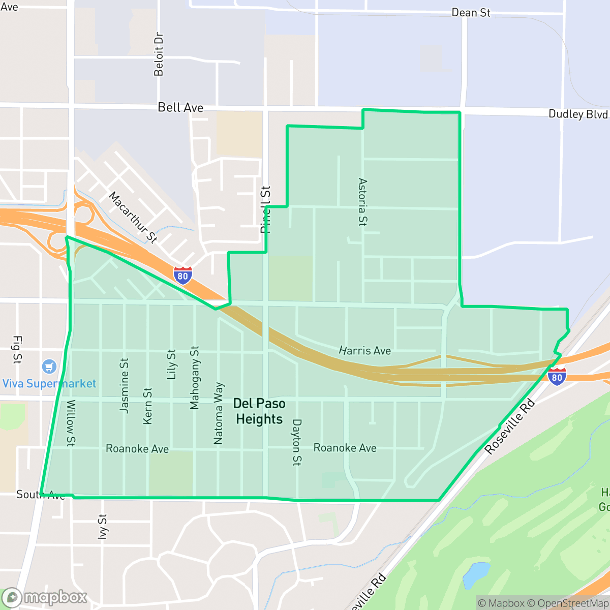
East Del Paso Heights, Sacramento
Updated June 22, 2026 · 4,147 residents
East Del Paso Heights is a dense, car-oriented neighborhood in North Sacramento characterized by mid-century ranch-style homes and a significant industrial presence. Residents experience notable noise from nearby freeway corridors and limited public amenities, though the area benefits from relatively stable flood safety.
Key Highlights
About East Del Paso Heights
East Del Paso Heights, located in North Sacramento, was originally part of the 44,000-acre Rancho Del Paso Mexican land grant of 1844. In the early 20th century, the Sacramento Suburban Fruit Lands Company and the North Sacramento Land Company subdivided the former agricultural and horse ranch lands into suburban tracts, advertising them in 1916 as ideal agricultural plots. The neighborhood transitioned into a residential enclave primarily between the 1940s and 1960s, a period that defined its architectural character with mid-century ranch-style homes, bungalows, and modest duplexes. Historically shaped by its proximity to major transit corridors and the nearby McClellan Air Force Base, East Del Paso Heights evolved into a culturally diverse, lower-middle-income community that was annexed into the city of Sacramento in 1964.
The neighborhood functions as a quiet, suburban enclave that balances residential blocks with large-scale industrial and commercial land use. The streetscape is dominated by closely packed single-family homes and proximity to major transit routes, which results in a high-traffic environment. While the area offers a straightforward, grid-based layout, the presence of nearby industrial facilities and a major freeway creates a consistent noise profile that defines the local atmosphere.
Prospective residents should be aware of the trade-offs regarding acoustic comfort and school performance, as the local educational districts face significant challenges with proficiency and absenteeism. The area is best suited for those prioritizing proximity to major transit corridors over pedestrian-friendly amenities or a quiet residential setting. Given the presence of industrial sites and the age of the housing stock, the neighborhood remains a utilitarian choice for those seeking a central location in North Sacramento.
Neighborhood Scores Across 15 Qualities
Residential structures are often situated close to one another with limited distance between homes. This level of separation is consistent with the city average for Sacramento.
Sidewalks and safe crossings are available along the neighborhood grid, but proximity to a major freeway can create noise and physical barriers. Walking ease here is lower than the Sacramento average.
Standard tract housing with small yards and minimal greenery defines the area. The visual landscape is less lush than the Sacramento average, according to iHuus data.
Private fenced yards are common, but narrow sidewalk verges and limited public park access make this area less dog friendly than the Sacramento average. According to iHuus data, residents may find fewer opportunities for off-leash exercise within the immediate vicinity.
Large-scale industrial warehouses and heavy transit corridors are interspersed with low-density residential pockets and scattered green spaces. This area presents a more open, semi-rural character than the typical Sacramento urban landscape.
Primarily composed of industrial corridors and residential blocks, this area offers a much lower level of activity than the Sacramento average. Residents will find a quiet, car-oriented environment with very limited access to nightlife or commercial social hubs.
Frequent disturbances from nearby railroad lines and major freeway traffic characterize the area. According to iHuus data, acoustic comfort is lower than the Sacramento average due to this proximity to transit corridors.
Air quality fluctuates between acceptable and unhealthy levels, with occasional concerns for sensitive groups. This condition is roughly in line with the average found across Sacramento.
Residential streets and open green spaces predominate the area, though some proximity to logistics warehouses and a junkyard exists in specific quadrants. This neighborhood features significantly less industrial density than the Sacramento average.
Health insurance accessibility is strong in this area, remaining above the Sacramento average according to iHuus data.
Political leanings in this area are largely liberal, though the concentration is slightly lower than the Sacramento city average according to iHuus data.
Residents live alongside a balanced mix of young adults, families, and older populations. This demographic spread is slightly less varied than the average found throughout Sacramento.
Flood safety in this area is better than the Sacramento average, though some residual risk exists due to its location within the 500-year floodplain. Residents should remain aware of potential low-level flood concerns according to iHuus data.
Block-Level Insights for East Del Paso Heights

iHuus Neighborhood Intelligence Insights
Get block-level neighborhood insights for East Del Paso Heights
- Street-level scores — see how individual blocks compare, not just neighborhood averages
- Micro-zone boundaries — identify quiet pockets, flood boundaries, and walkable clusters before you visit
- 15 dimensions in full — walkability, noise, air quality, school quality, insurance coverage, population age profile, urban/rural index, and more
- Boundary risk alerts — know if your address sits near a block boundary where scores drop, the kind of detail no listing will ever mention
- School insights — individual school ratings and insights, not just district-level data
- Compare before you commit — side-by-side data across neighborhoods, down to block precision
No credit card required
Compare with Any Neighborhood
| Dimension | East Del Paso Heights | Airport |
|---|---|---|
| 🚶 Walkabilityavg 8.5 | ||
| 🔊 Acoustic Comfortavg 3.22 | ||
| 🤫 Privacy Indexavg 5.34 | ||
| 🎨 Visual Appealavg 6.3 | ||
| 🐕 Dog Friendlinessavg 6.98 | ||
| 🗺️ Urban-Rural Indexavg 6.57 | ||
| ✨ Neighborhood Vibeavg 4.66 | ||
| 🏥 Health Insurance Coverageavg 7.4 | ||
| 🌿 Air Qualityavg 6.12 | ||
| 🏭 Industrial Proximityavg 8.32 | ||
| 🌊 Flood Safetyavg 6.04 | ||
| 🗳️ Ideological Leanavg 9.49 | ||
| 👥 Population Age Profileavg 4.75 | ||
| 🔥 Fire Safetyavg 0 | ||
| 🏫 School Quality |
East Del Paso Heights Rankings
School Districts Serving East Del Paso Heights
Robla Elementary School District functions as a high-needs, community-centric organization that is currently in a transitional state, balancing strong social-emotional supports with subpar academic outcomes. While the district earns praise for its diversity, early childhood initiatives, and responsiveness to parent requests for tutoring and wellness, it is hampered by a sharp divide in school-level performance and critical levels of chronic absenteeism. Despite 'Yellow' status on state dashboards and positive growth for English Learners, the low proficiency rates and inconsistencies between campuses like Robla Elementary and Main Avenue reflect a district that is stable enough to maintain operations but still struggling to provide a uniform high-quality educational experience.
Schools
Twin Rivers Unified is currently in a distressed state characterized by extreme academic variance, a recently resolved but historic 12-day labor strike, and significant leadership turnover with the impending departure of its long-term Superintendent. While the district maintains stable credit ratings and has successfully leveraged bond refinancing to save taxpayers money, these fiscal wins are overshadowed by a staffing crisis and poor academic proficiency in core subjects like math and reading. The wide gap between high-performing elementary schools and failing secondary schools, combined with high chronic absenteeism and a workforce emerging from a period of high friction, positions the district as an organization in a fragile transition period rather than a stable 'Blue Chip' entity.
Schools
School Insights for East Del Paso Heights
Below average outcomes; significant attendance and academic challenges.
School Insights
See what's really behind every school rating near East Del Paso Heights
- Individual school ratings — each school's own score with outcome context, not just a district average
- Enrollment & class size data — student-to-teacher ratio and how it compares to the state average
- Full demographics breakdown — ethnicity and gender composition for every school in the enrollment zone
- Every school in the district — all schools within the enrollment boundary ranked by rating, not just the closest one
- Grade levels & benchmarks — elementary through high school, with below/above state-average flags
No credit card required