Stanford, Roseville
Updated June 22, 2026 · 6,164 residents
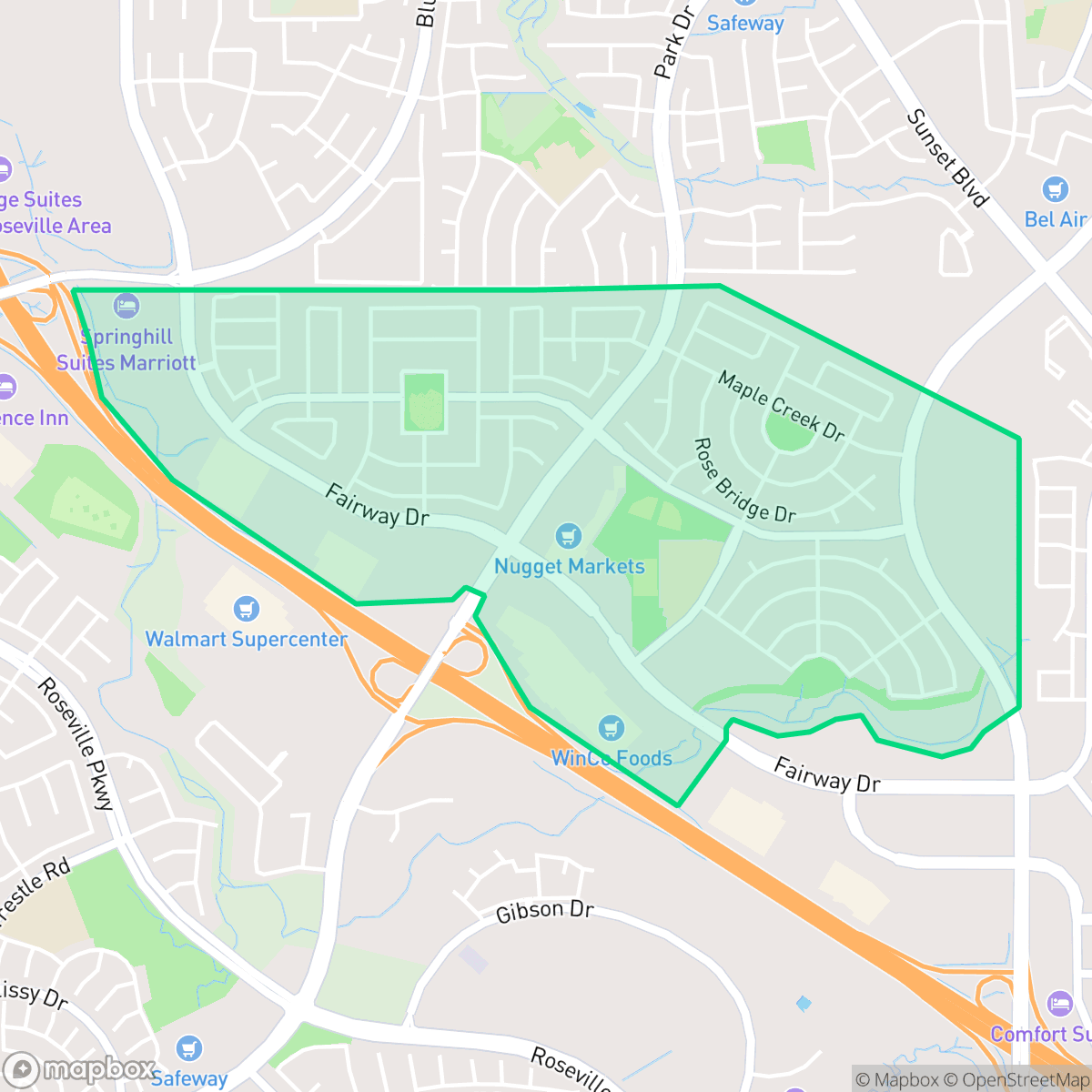
Stanford is a highly walkable, affluent suburban neighborhood in Roseville known for its manicured landscaping and proximity to popular local dining. While the area offers excellent access to amenities and green spaces like Pineschi Park, residents should expect a lively environment with notable road traffic noise.
Key Highlights
About Stanford
Stanford is a planned suburban community characterized by its high walkability and well-maintained residential tracts. The neighborhood features a mix of single-family homes with private pools and convenient access to commercial retail centers. Residents benefit from a vibrant local scene, with popular dining options such as Dutch Bros. Coffee, Fukumi Ramen, and Chipotle Mexican Grill situated near major transit corridors. According to iHuus data, the area maintains a high visual appeal through its consistent landscaping and complete absence of industrial activity. The neighborhood is well-suited for those prioritizing convenience and an active lifestyle, though it comes with specific trade-offs. The high density of the suburban layout results in limited backyard privacy, and the proximity to major roads contributes to a higher than average noise level. Prospective residents should also be aware of the local environmental risks, as the area faces challenges regarding flood and fire safety. Despite these factors, the strong connectivity and access to top tier school districts make it a compelling choice for families and professionals alike.
Neighborhood Scores Across 15 Qualities
Homes are situated with moderate spacing and some buffer between neighbors, though privacy is slightly lower than the Roseville average. According to iHuus data, the suburban layout features houses positioned within relatively close proximity to one another.
Comprehensive sidewalk networks and clear pedestrian crossings connect residential streets to nearby shopping centers. This level of connectivity is notably higher than the Roseville average, though major highways can create occasional barriers to movement.
Manicured landscaping, large homes, and frequent private backyard pools characterize this area. The visual environment remains consistent with the broader Roseville area.
Wide grass verges, central parks, and interconnected greenways provide ample space for pet exercise. According to iHuus data, these walking opportunities are nearly on par with the Roseville city average.
Residential areas consist primarily of dense suburban developments, including single-family homes and multi-family apartment complexes. This landscape is slightly more developed than the typical Roseville average, showing fewer open fields or wooded areas.
Lively dining options and local social hubs provide a noticeable energy that is significantly higher than the Roseville average. While various restaurants and parks are easily accessible, the car-dependent layout and proximity to a major highway influence the area's character.
Frequent noise from nearby freeways and railroad tracks is a notable feature of this area. According to iHuus data, acoustic comfort levels are lower than the Roseville city average.
Air quality in this area fluctuates between acceptable and unhealthy levels on certain days. According to iHuus data, these conditions are consistent with the average seen across Roseville.
Industrial activity and hazardous sites are absent from this area, maintaining a landscape of residential and light commercial use. This lack of heavy industry is slightly more pronounced than the average found across Roseville.
Most residents in this area are covered by health insurance, though coverage rates are slightly lower than the Roseville average according to iHuus data.
Political leanings in this area are split relatively evenly between conservative and liberal perspectives. This ideological diversity is slightly higher than the average seen across Roseville, according to iHuus data.
Residents live alongside a balanced mix of young adults, families, and older individuals. This demographic distribution is slightly more concentrated toward younger and middle-aged groups than the Roseville city average, according to iHuus data.
Flood risk in this area is higher than the Roseville average due to a lack of detailed FEMA studies for this specific zone. According to iHuus data, the precise level of exposure remains undetermined by federal authorities.
Block-Level Insights for Stanford

iHuus Neighborhood Intelligence Insights
Get block-level neighborhood insights for Stanford
- Street-level scores — see how individual blocks compare, not just neighborhood averages
- Micro-zone boundaries — identify quiet pockets, flood boundaries, and walkable clusters before you visit
- 15 dimensions in full — walkability, noise, air quality, school quality, insurance coverage, population age profile, urban/rural index, and more
- Boundary risk alerts — know if your address sits near a block boundary where scores drop, the kind of detail no listing will ever mention
- School insights — individual school ratings and insights, not just district-level data
- Compare before you commit — side-by-side data across neighborhoods, down to block precision
No credit card required
Compare with Any Neighborhood
| Dimension | Stanford | Blue Oaks |
|---|---|---|
| 🚶 Walkabilityavg 8.87 | ||
| 🔊 Acoustic Comfortavg 4.32 | ||
| 🤫 Privacy Indexavg 5.7 | ||
| 🎨 Visual Appealavg 7.58 | ||
| 🐕 Dog Friendlinessavg 7.74 | ||
| 🗺️ Urban-Rural Indexavg 6.82 | ||
| ✨ Neighborhood Vibeavg 4.77 | ||
| 🏥 Health Insurance Coverageavg 8.58 | ||
| 🌿 Air Qualityavg 6 | ||
| 🏭 Industrial Proximityavg 8.8 | ||
| 🌊 Flood Safetyavg 5.72 | ||
| 🗳️ Ideological Leanavg 3.68 | ||
| 👥 Population Age Profileavg 5.05 | ||
| 🔥 Fire Safetyavg 0.15 | ||
| 🏫 School Quality |
Stanford Rankings
School Districts Serving Stanford
Roseville Joint Union High School District is a high-performing 'Blue Chip' organization exhibiting strong academic consistency and operational excellence. The district's portfolio is anchored by elite terminal high schools like Granite Bay and modern facilities like West Park, supported by proactive investments in both Career Technical Education and student mental health infrastructure. While navigating rapid regional growth and the pressures of a high-achievement culture, the district maintains deep community trust, evidenced by successful facility expansions and positive sentiment across diverse educational pathways. Aside from a single continuation school outlier, the district demonstrates the stability, financial health, and academic rigor characteristic of a top-tier educational agency.
Schools
Rocklin Unified School District is a high-performing 'Solid' district characterized by exceptional academic metrics and prestigious secondary schools that consistently outpace state averages. Its operational health is bolstered by strong community support for athletics, successful bond-funded facility upgrades, and expanding CTE programs. While the district maintains a 'Blue Chip' academic profile, it currently faces internal friction due to a polarized Board of Trustees and ongoing legal disputes over social policies, which creates a noticeable divide between its stellar classroom performance and its volatile administrative climate.
Schools
Roseville City Elementary School District is a high-performing, financially stable organization characterized by strong community trust and academic proficiency that significantly exceeds state benchmarks. While the district's portfolio contains a wide performance gap between its top-tier neighborhood schools (rated 8-10) and its struggling campuses (rated 2-3), it maintains a high degree of operational excellence through proactive facility expansion, successful bond management, and robust arts and mental health programming. Current challenges are primarily environmental, driven by rapid population growth in West Roseville leading to student overflows and capacity debates, yet the district remains a top-tier regional choice with a stable leadership outlook.
Schools
School Insights for Stanford
Below average outcomes; significant attendance and academic challenges.
School Insights
See what's really behind every school rating near Stanford
- Individual school ratings — each school's own score with outcome context, not just a district average
- Enrollment & class size data — student-to-teacher ratio and how it compares to the state average
- Full demographics breakdown — ethnicity and gender composition for every school in the enrollment zone
- Every school in the district — all schools within the enrollment boundary ranked by rating, not just the closest one
- Grade levels & benchmarks — elementary through high school, with below/above state-average flags
No credit card required