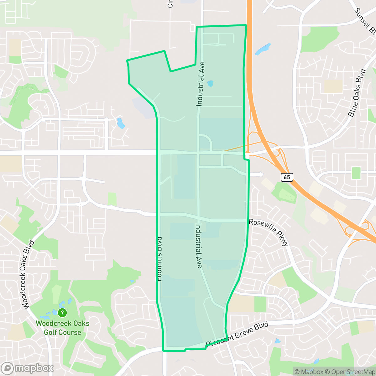
Industrial Area East, Roseville
Updated June 22, 2026 · 1,549 residents
Industrial Area East is a mixed-use neighborhood in Roseville characterized by its blend of large-scale logistics warehouses and residential tracts. While the area offers high walkability and convenient access to local dining and services, residents should expect significant ambient noise from road traffic and nearby rail lines.
Key Highlights
About Industrial Area East
This neighborhood functions as a dense suburban and commercial corridor, defined by its proximity to major freight infrastructure and industrial logistics hubs. The landscape is marked by a combination of large-footprint warehouses and closely situated residential units. Despite the industrial presence, the area provides access to essential services and diverse dining options, including local favorites like Bombay Cuisine, Beach Hut Deli, and Moksa Barrel House. It is also well-served by high-performing school districts, including the Roseville Joint Union High School District, which contributes to the area's overall stability.
Residents choosing to live here often prioritize accessibility and proximity to major transit routes over quietude, as the area experiences elevated noise levels from road traffic and active rail lines. While the neighborhood boasts high health insurance coverage and solid walkability, it lacks the expansive green space and dog-friendly amenities found in surrounding parts of Roseville. The area is best suited for individuals or families who value a central location and efficient access to regional services, provided they are comfortable with a more industrial, urban-leaning environment.
Neighborhood Scores Across 15 Qualities
Residential lots offer some separation between neighbors, though spacing is slightly less private than the Roseville average. According to iHuus data, many homes feature detached structures with fenced yards that provide a moderate buffer from adjacent properties.
Continuous sidewalks and pedestrian-priority areas make navigating the neighborhood on foot easy. According to iHuus data, the street network offers superior connectivity and more frequent crossings than the Roseville average.
Manicured landscaping and large residential footprints characterize this area. Many properties feature private pools and upscale amenities, making the visual landscape slightly more refined than the Roseville average.
Abundant greenbelts, wide sidewalk verges, and large school fields provide ample space for pets. According to iHuus data, the level of dog friendliness in this area is consistent with the Roseville average.
Developed landscapes featuring large-scale warehouses and office parks characterize this area, which maintains a level of openness comparable to the Roseville average.
Low business density and industrial surroundings create a subdued atmosphere that is less active than the Roseville average. While some local dining and essential services are accessible, the area remains primarily car-oriented with limited social hubs.
Continuous noise from nearby busy streets characterizes the area. This level of acoustic activity is slightly higher than the Roseville average according to iHuus data.
Air quality levels typically fluctuate between acceptable and unhealthy ranges, posing occasional concerns for sensitive groups. This stability is consistent with the average found throughout Roseville.
Large-scale logistics hubs, warehouses, and active rail lines create a notable industrial presence that is much higher than the Roseville average. Heavy vehicle traffic and distribution activity are common throughout the area.
Nearly all residents in this area are covered by health insurance, a rate that is notably higher than the Roseville average according to iHuus data.
Political leanings in this area align with the Roseville average, characterized by a conservative majority and a modest presence of opposing viewpoints.
A balanced mix of young adults, families, and older residents characterizes this area. According to iHuus data, the age distribution is slightly more concentrated in specific age brackets than the broader Roseville average.
Flood safety levels are relatively similar to the city average, though FEMA has not yet completed a detailed study to fully determine the risk level for this area.
Block-Level Insights for Industrial Area East

iHuus Neighborhood Intelligence Insights
Get block-level neighborhood insights for Industrial Area East
- Street-level scores — see how individual blocks compare, not just neighborhood averages
- Micro-zone boundaries — identify quiet pockets, flood boundaries, and walkable clusters before you visit
- 15 dimensions in full — walkability, noise, air quality, school quality, insurance coverage, population age profile, urban/rural index, and more
- Boundary risk alerts — know if your address sits near a block boundary where scores drop, the kind of detail no listing will ever mention
- School insights — individual school ratings and insights, not just district-level data
- Compare before you commit — side-by-side data across neighborhoods, down to block precision
No credit card required
Compare with Any Neighborhood
| Dimension | Industrial Area East | Blue Oaks |
|---|---|---|
| 🚶 Walkabilityavg 8.87 | ||
| 🔊 Acoustic Comfortavg 4.32 | ||
| 🤫 Privacy Indexavg 5.7 | ||
| 🎨 Visual Appealavg 7.58 | ||
| 🐕 Dog Friendlinessavg 7.74 | ||
| 🗺️ Urban-Rural Indexavg 6.82 | ||
| ✨ Neighborhood Vibeavg 4.77 | ||
| 🏥 Health Insurance Coverageavg 8.58 | ||
| 🌿 Air Qualityavg 6 | ||
| 🏭 Industrial Proximityavg 8.8 | ||
| 🌊 Flood Safetyavg 5.72 | ||
| 🗳️ Ideological Leanavg 3.68 | ||
| 👥 Population Age Profileavg 5.05 | ||
| 🔥 Fire Safetyavg 0.15 | ||
| 🏫 School Quality |
Industrial Area East Rankings
School Districts Serving Industrial Area East
Roseville Joint Union High School District is a high-performing 'Blue Chip' organization exhibiting strong academic consistency and operational excellence. The district's portfolio is anchored by elite terminal high schools like Granite Bay and modern facilities like West Park, supported by proactive investments in both Career Technical Education and student mental health infrastructure. While navigating rapid regional growth and the pressures of a high-achievement culture, the district maintains deep community trust, evidenced by successful facility expansions and positive sentiment across diverse educational pathways. Aside from a single continuation school outlier, the district demonstrates the stability, financial health, and academic rigor characteristic of a top-tier educational agency.
Schools
Dry Creek Joint Elementary School District is a solid and stable organization characterized by high academic output and proactive governance. While there is some performance variance between its top-rated elementary schools and its middle schools, the district maintains a strong reputation, particularly in STEM and performing arts. Financial management is disciplined, focusing on special education and resource efficiency amidst state funding adjustments. The transition to by-trustee area elections and the implementation of parent-focused mental health initiatives reflect a district that is evolving with its community's needs while maintaining its status as a top-tier educational provider in Placer County.
Schools
Roseville City Elementary School District is a high-performing, financially stable organization characterized by strong community trust and academic proficiency that significantly exceeds state benchmarks. While the district's portfolio contains a wide performance gap between its top-tier neighborhood schools (rated 8-10) and its struggling campuses (rated 2-3), it maintains a high degree of operational excellence through proactive facility expansion, successful bond management, and robust arts and mental health programming. Current challenges are primarily environmental, driven by rapid population growth in West Roseville leading to student overflows and capacity debates, yet the district remains a top-tier regional choice with a stable leadership outlook.
Schools
School Insights for Industrial Area East
Below average outcomes; significant attendance and academic challenges.
School Insights
See what's really behind every school rating near Industrial Area East
- Individual school ratings — each school's own score with outcome context, not just a district average
- Enrollment & class size data — student-to-teacher ratio and how it compares to the state average
- Full demographics breakdown — ethnicity and gender composition for every school in the enrollment zone
- Every school in the district — all schools within the enrollment boundary ranked by rating, not just the closest one
- Grade levels & benchmarks — elementary through high school, with below/above state-average flags
No credit card required