Folsom Road, Roseville
Updated June 22, 2026 · 3,907 residents
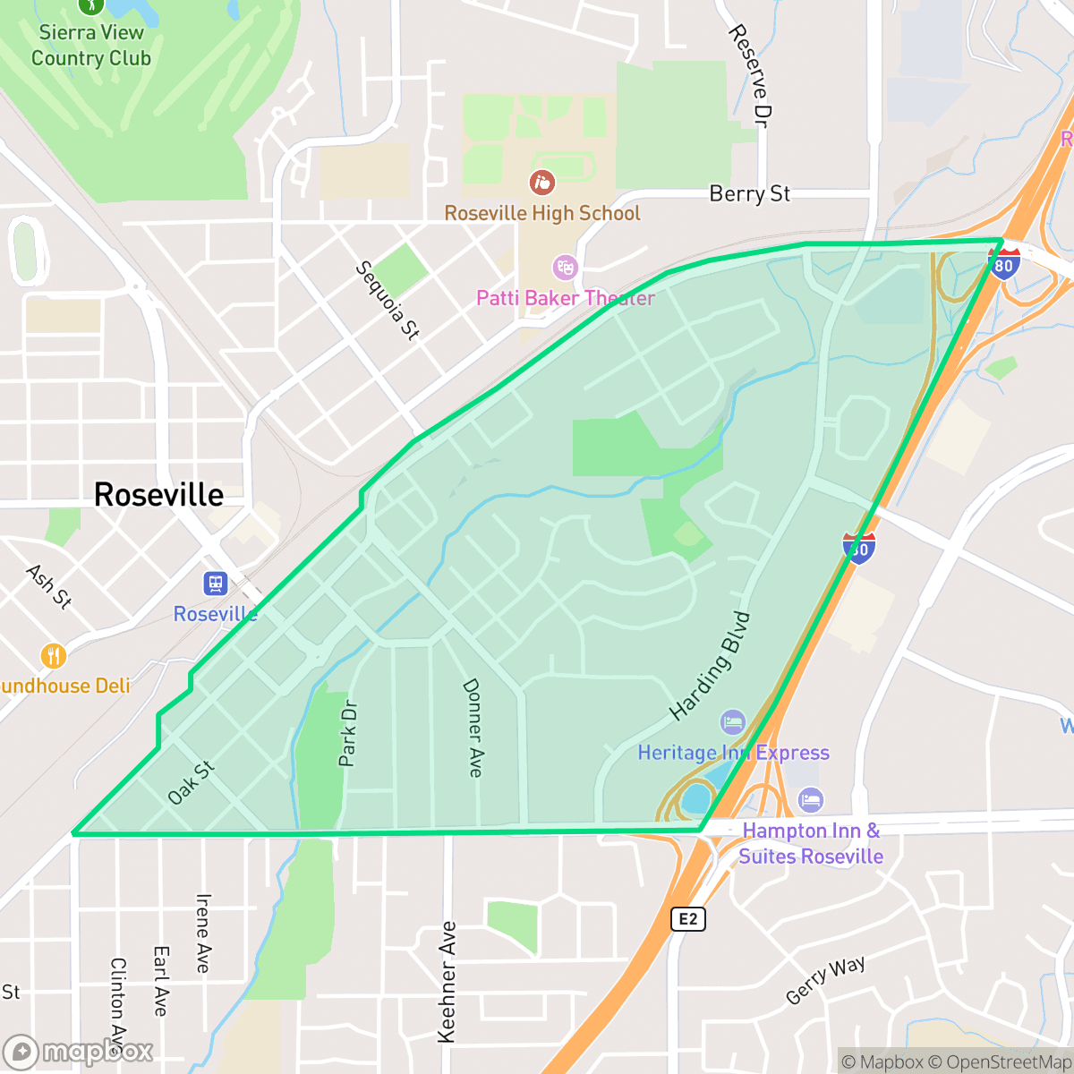
Folsom Road is a historic residential enclave in Roseville known for its vintage architectural charm and proximity to local cultural hubs like Blue Line Arts and Old Town Pizza. While the area offers a vibrant, walkable environment with easy access to green spaces such as Royer Park, residents should note that it experiences significant noise from nearby road traffic.
Key Highlights
About Folsom Road
The Folsom Road neighborhood in Roseville, California, is a historic residential enclave with roots dating back to the mid-19th century. In 1861, the California Central Railroad laid its tracks through the area, crossing Dry Creek at Folsom Road. The intersection of Folsom Road and Douglas Boulevard was originally the site of Roseville's first cemetery—a pioneer "boot hill" established in the 1850s for early Dry Creek District settlers and passing wagon trains. In 1960, its 63 graves were relocated to the Berry Street cemetery to make way for Roseville Square, the city's first shopping center. Today, the neighborhood is known for its proximity to Royer Park and its diverse, vintage housing stock, which includes classic 1930s Tudor-style homes and mid-century bungalows.
The neighborhood serves as a central hub for those seeking a mix of historic character and modern convenience. It features a diverse housing stock ranging from 1930s Tudors to mid-century bungalows, creating a distinct aesthetic that sets it apart from newer suburban developments. The area is highly active, with residents benefiting from proximity to local dining, coffee houses, and arts venues, fostering a sense of community that is more energetic than many surrounding regions.
Prospective residents should weigh the benefits of this central location against specific environmental factors. The area experiences elevated noise levels primarily due to high traffic volume, and it faces notable challenges regarding flood and fire safety risks. While it remains a strong choice for those who prioritize walkability and access to community amenities, individuals should be aware of the trade-offs in acoustic comfort and regional risk factors.
Neighborhood Scores Across 15 Qualities
Housing density is moderate with some areas featuring closely spaced homes; overall levels of privacy are consistent with the Roseville average.
Sidewalks and safe crossings are available, but heavy rail infrastructure and industrial zones act as significant barriers to pedestrian movement. This area is less walkable than the average Roseville neighborhood, according to iHuus data.
Uniform tract housing with small yards and simple rooflines defines this area. According to iHuus data, the visual landscape is less varied than the Roseville city average.
Access to public dog parks and shared trails is below the Roseville average. While some wide paths exist, much of the neighborhood's greenery is located on private property, and proximity to the nearby rail yard restricts easy access to large, safe green spaces.
A mix of dense retail corridors and industrial utility zones defines the landscape, which feels slightly more developed than the Roseville average. Residents will encounter significant commercial sprawl alongside pockets of residential and industrial infrastructure according to iHuus data.
Diverse dining options and various local amenities create a more active atmosphere than the Roseville average. While the area features lively social hubs and green spaces, the layout remains car-dependent due to the proximity of highways and industrial corridors.
Frequent disturbances from nearby railroad tracks and heavy traffic are common in this area. According to iHuus data, acoustic comfort is lower than the Roseville average due to proximity to major transit corridors.
Air quality levels in this area are consistent with the Roseville average. Residents may encounter occasional days where air conditions are less than ideal, particularly for sensitive groups.
Residents enjoy a primarily residential environment with minimal industrial interference. According to iHuus data, this area has significantly less exposure to heavy logistics hubs and large-scale industrial operations than the Roseville average.
Health insurance enrollment in this area is notably lower than the Roseville city average, according to iHuus data.
Political leanings in this area are split relatively evenly between conservative and liberal perspectives. This reflects a more balanced ideological distribution than the average found in Roseville.
Residents live alongside a balanced mix of young adults, families, and older populations. This demographic spread is largely consistent with the broader Roseville area, according to iHuus data.
Located within a 100-year floodplain, this area faces significant flood risks that are considerably higher than the Roseville average. According to iHuus data, residents should anticipate that flood insurance will likely be a standard requirement for properties here.
Block-Level Insights for Folsom Road

iHuus Neighborhood Intelligence Insights
Get block-level neighborhood insights for Folsom Road
- Street-level scores — see how individual blocks compare, not just neighborhood averages
- Micro-zone boundaries — identify quiet pockets, flood boundaries, and walkable clusters before you visit
- 15 dimensions in full — walkability, noise, air quality, school quality, insurance coverage, population age profile, urban/rural index, and more
- Boundary risk alerts — know if your address sits near a block boundary where scores drop, the kind of detail no listing will ever mention
- School insights — individual school ratings and insights, not just district-level data
- Compare before you commit — side-by-side data across neighborhoods, down to block precision
No credit card required
Compare with Any Neighborhood
| Dimension | Folsom Road | Blue Oaks |
|---|---|---|
| 🚶 Walkabilityavg 8.87 | ||
| 🔊 Acoustic Comfortavg 4.32 | ||
| 🤫 Privacy Indexavg 5.7 | ||
| 🎨 Visual Appealavg 7.58 | ||
| 🐕 Dog Friendlinessavg 7.74 | ||
| 🗺️ Urban-Rural Indexavg 6.82 | ||
| ✨ Neighborhood Vibeavg 4.77 | ||
| 🏥 Health Insurance Coverageavg 8.58 | ||
| 🌿 Air Qualityavg 6 | ||
| 🏭 Industrial Proximityavg 8.8 | ||
| 🌊 Flood Safetyavg 5.72 | ||
| 🗳️ Ideological Leanavg 3.68 | ||
| 👥 Population Age Profileavg 5.05 | ||
| 🔥 Fire Safetyavg 0.15 | ||
| 🏫 School Quality |
Folsom Road Rankings
School Districts Serving Folsom Road
Roseville Joint Union High School District is a high-performing 'Blue Chip' organization exhibiting strong academic consistency and operational excellence. The district's portfolio is anchored by elite terminal high schools like Granite Bay and modern facilities like West Park, supported by proactive investments in both Career Technical Education and student mental health infrastructure. While navigating rapid regional growth and the pressures of a high-achievement culture, the district maintains deep community trust, evidenced by successful facility expansions and positive sentiment across diverse educational pathways. Aside from a single continuation school outlier, the district demonstrates the stability, financial health, and academic rigor characteristic of a top-tier educational agency.
Schools
Roseville City Elementary School District is a high-performing, financially stable organization characterized by strong community trust and academic proficiency that significantly exceeds state benchmarks. While the district's portfolio contains a wide performance gap between its top-tier neighborhood schools (rated 8-10) and its struggling campuses (rated 2-3), it maintains a high degree of operational excellence through proactive facility expansion, successful bond management, and robust arts and mental health programming. Current challenges are primarily environmental, driven by rapid population growth in West Roseville leading to student overflows and capacity debates, yet the district remains a top-tier regional choice with a stable leadership outlook.
Schools
School Insights for Folsom Road
Below average outcomes; significant attendance and academic challenges.
School Insights
See what's really behind every school rating near Folsom Road
- Individual school ratings — each school's own score with outcome context, not just a district average
- Enrollment & class size data — student-to-teacher ratio and how it compares to the state average
- Full demographics breakdown — ethnicity and gender composition for every school in the enrollment zone
- Every school in the district — all schools within the enrollment boundary ranked by rating, not just the closest one
- Grade levels & benchmarks — elementary through high school, with below/above state-average flags
No credit card required