Parsons, Redding
Updated June 22, 2026 · 161 residents
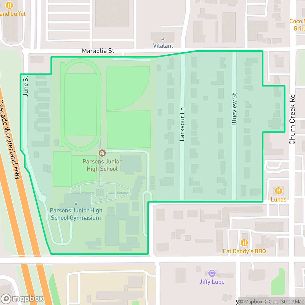
Parsons is a high-energy suburban area in Redding, California, defined by its proximity to major transit corridors and diverse local dining options. While the area offers convenient access to commercial services, residents experience significant noise levels from nearby road traffic and must navigate a car-dependent environment.
Key Highlights
About Parsons
Parsons serves as a vibrant, high-energy residential and commercial hub within Redding. It is characterized by its immediate access to major highways, which supports a variety of popular dining establishments such as Banda Burrito and Dutch Bros. Coffee. The area is free from industrial hazards, maintaining a focus on residential and light commercial activity that creates a distinct, active atmosphere compared to the quieter surrounding neighborhoods according to iHuus data. Living in this neighborhood involves specific trade-offs, particularly regarding environmental factors. Road traffic creates a consistently loud acoustic environment, and the area faces challenges concerning flood and fire safety. While the neighborhood lacks high walkability and requires a vehicle for most daily errands, it remains a central location for those prioritizing proximity to commercial amenities over quiet, secluded living. Educational needs are served by the Enterprise Elementary and Shasta Union High School districts.
Neighborhood Scores Across 15 Qualities
Residential spacing offers a moderate amount of buffer between neighbors, remaining very close to the Redding average. According to iHuus data, this density provides a mix of open space and proximity to adjacent properties.
Low-traffic streets offer a calm environment for walking, though the lack of sidewalks makes the area slightly less walkable than much of Redding. According to iHuus data, residents should be prepared to walk along the shoulder of the road.
Uniform tract housing with modest yards defines this area. The visual landscape is slightly less varied than the Redding average, according to iHuus data.
Limited access to public parks and narrow street verges make pet walking less convenient here than in most other Redding neighborhoods, according to iHuus data.
Open land and scattered homes characterize this area, which is notably less dense than the Redding average according to iHuus data.
Diverse dining and retail options provide a much higher level of activity than the typical Redding district. While the area offers significant energy due to nearby amenities, most destinations require a vehicle for access.
Persistent acoustic disturbances are common in this area, with noise levels significantly higher than the Redding average. According to iHuus data, residents can expect much greater exposure to ambient sound than in most other parts of the city.
Air quality fluctuates between acceptable and unhealthy levels, sitting slightly below the Redding average according to iHuus data. Sensitive groups may experience occasional concern during certain periods.
Residents can expect a purely residential and light commercial environment with no detectable warehouses or industrial hazards. This lack of heavy industry makes the area even more secluded from industrial activity than the Redding average, according to iHuus data.
Health insurance coverage among residents is significantly lower than the Redding average, according to iHuus data. This disparity suggests a lack of access to employer-sponsored or private medical coverage within the area.
Voting patterns and census indicators reflect a strong conservative leaning, matching the typical political landscape found across Redding.
Residents will find a varied demographic including young adults, families, and seniors. This age distribution is slightly more varied than the average found throughout Redding.
Significant flood hazards exist in this area, presenting much higher risks than the Redding average. Residents should expect elevated or potentially prohibitive insurance costs due to the presence of high-hazard zones.
Block-Level Insights for Parsons

iHuus Neighborhood Intelligence Insights
Get block-level neighborhood insights for Parsons
- Street-level scores — see how individual blocks compare, not just neighborhood averages
- Micro-zone boundaries — identify quiet pockets, flood boundaries, and walkable clusters before you visit
- 15 dimensions in full — walkability, noise, air quality, school quality, insurance coverage, population age profile, urban/rural index, and more
- Boundary risk alerts — know if your address sits near a block boundary where scores drop, the kind of detail no listing will ever mention
- School insights — individual school ratings and insights, not just district-level data
- Compare before you commit — side-by-side data across neighborhoods, down to block precision
No credit card required
Compare with Any Neighborhood
| Dimension | Parsons | Kutras Tract |
|---|---|---|
| 🚶 Walkabilityavg 6.64 | ||
| 🔊 Acoustic Comfortavg 4.24 | ||
| 🤫 Privacy Indexavg 6.22 | ||
| 🎨 Visual Appealavg 7.02 | ||
| 🐕 Dog Friendlinessavg 7.58 | ||
| 🗺️ Urban-Rural Indexavg 7.99 | ||
| ✨ Neighborhood Vibeavg 4.12 | ||
| 🏥 Health Insurance Coverageavg 6.95 | ||
| 🌿 Air Qualityavg 6.42 | ||
| 🏭 Industrial Proximityavg 8.8 | ||
| 🌊 Flood Safetyavg 3.38 | ||
| 🗳️ Ideological Leanavg 1.12 | ||
| 👥 Population Age Profileavg 5.16 | ||
| 🔥 Fire Safetyavg 1.22 | ||
| 🏫 School Quality |
Parsons Rankings
School Districts Serving Parsons
Shasta Union High School District is a stable and high-performing organization characterized by strong academic results and deep community integration. With three traditional high schools maintaining solid ratings and a high-achieving collegiate academy, the district demonstrates consistent feeder quality and college readiness. Recent investments in Career Technical Education (CTE) and modern safety infrastructure reflect proactive management and financial health. While the district faces minor challenges related to facility equity between campuses and rising costs for extracurricular participation, its overall reputation for academic rigor and vocational breadth makes it a reliable pillar of the North State educational landscape.
Schools
Enterprise Elementary School District is a 'Mixed/Transition' district characterized by high operational stability and strong community trust, yet hampered by inconsistent academic performance across its schools. While leadership is successfully navigating post-pandemic fiscal transitions and capital improvements via local bonds, the district's portfolio suffers from a sharp divide between top-performing elementary schools and struggling lower-tier sites, including a 1/10 rated academy. Parents generally praise the teacher quality and safety initiatives, but concerns regarding class sizes, student behavior, and a lack of support for auxiliary programs indicate a district struggling to maintain its high standards under modern budgetary and staffing pressures.
Schools
School Insights for Parsons
Below average outcomes; significant attendance and academic challenges.
School Insights
See what's really behind every school rating near Parsons
- Individual school ratings — each school's own score with outcome context, not just a district average
- Enrollment & class size data — student-to-teacher ratio and how it compares to the state average
- Full demographics breakdown — ethnicity and gender composition for every school in the enrollment zone
- Every school in the district — all schools within the enrollment boundary ranked by rating, not just the closest one
- Grade levels & benchmarks — elementary through high school, with below/above state-average flags
No credit card required