Pleasanton Neighborhood Intelligence Index
Updated June 22, 2026 · 1 neighborhoods measured
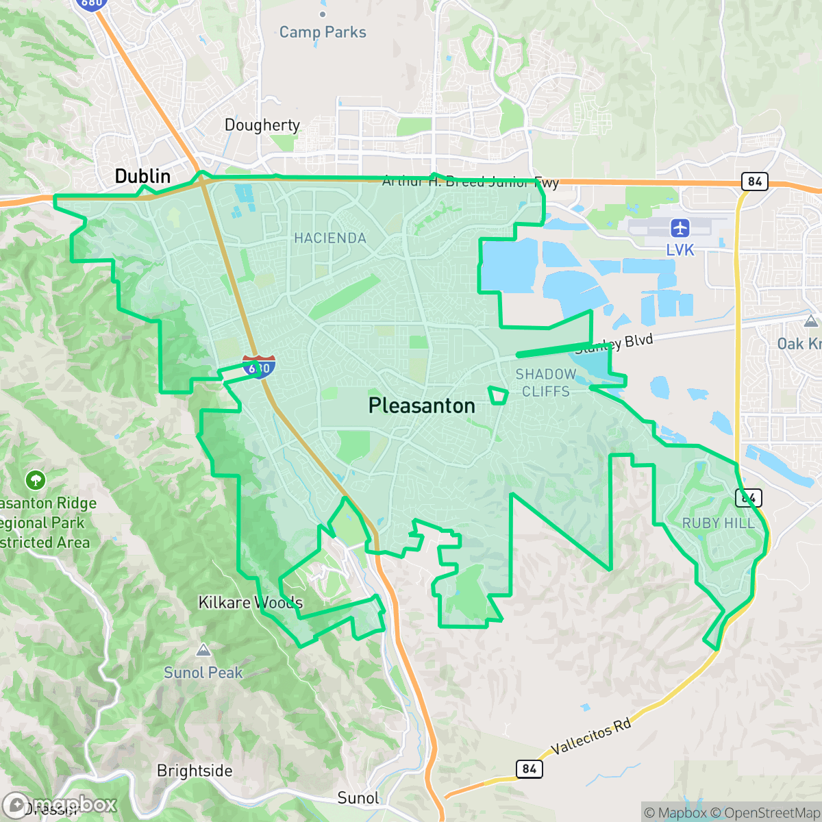
Located in the East Bay's Amador Valley, Pleasanton is recognized for its historic downtown and its modern role as a major corporate hub. The city features highly walkable neighborhoods and strong visual appeal, making daily errands on foot convenient. However, residents face a severe risk of wildfires and must contend with notable ambient noise, largely due to nearby interstate corridors. Ultimately, Pleasanton is best suited for families and professionals seeking an accessible, quiet suburban community with strong economic opportunities and highly rated schools.
Explore Pleasanton by Neighborhood
Pleasanton Quality Scores
See how neighborhoods in Pleasanton compare on air quality. Rankings are based on measured data aggregated across each neighborhood boundary.
See how neighborhoods in Pleasanton compare on dog friendliness. Rankings are based on measured data aggregated across each neighborhood boundary.
See how neighborhoods in Pleasanton compare on industrial proximity. Rankings are based on measured data aggregated across each neighborhood boundary.
See how neighborhoods in Pleasanton compare on acoustic comfort. Rankings are based on measured data aggregated across each neighborhood boundary.
See how neighborhoods in Pleasanton compare on urban-rural index. Rankings are based on measured data aggregated across each neighborhood boundary.
See how neighborhoods in Pleasanton compare on liveliness and vibe. Rankings are based on measured data aggregated across each neighborhood boundary.
See how neighborhoods in Pleasanton compare on visual appeal. Rankings are based on measured data aggregated across each neighborhood boundary.
See how neighborhoods in Pleasanton compare on walkability. Rankings are based on measured data aggregated across each neighborhood boundary.
See how neighborhoods in Pleasanton compare on health insurance coverage. Rankings are based on measured data aggregated across each neighborhood boundary.
See how neighborhoods in Pleasanton compare on ideological lean. Rankings are based on measured data aggregated across each neighborhood boundary.
See how neighborhoods in Pleasanton compare on population age profile. Rankings are based on measured data aggregated across each neighborhood boundary.
See how neighborhoods in Pleasanton compare on privacy index. Rankings are based on measured data aggregated across each neighborhood boundary.
See how neighborhoods in Pleasanton compare on flood safety. Rankings are based on measured data aggregated across each neighborhood boundary.
Pleasanton Neighborhood Rankings

iHuus Neighborhood Intelligence Insights
Get block-level neighborhood insights for Pleasanton
- Street-level scores — see how individual blocks compare, not just neighborhood averages
- Micro-zone boundaries — identify quiet pockets, flood boundaries, and walkable clusters before you visit
- 15 dimensions in full — walkability, noise, air quality, school quality, insurance coverage, population age profile, urban/rural index, and more
- Boundary risk alerts — know if your address sits near a block boundary where scores drop, the kind of detail no listing will ever mention
- School insights — individual school ratings and insights, not just district-level data
- Compare before you commit — side-by-side data across neighborhoods, down to block precision
No credit card required