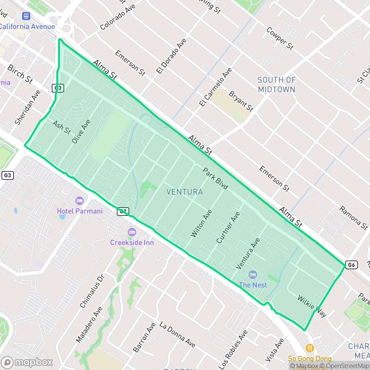
Ventura, Palo Alto
Updated June 22, 2026 · 2,542 residents
Ventura is an exceptionally walkable neighborhood in Palo Alto known for its modest residential character and proximity to regional transit. While residents benefit from high-performing schools and easy access to local amenities, the area experiences significant noise from nearby road traffic.
Key Highlights
About Ventura
Originally part of the historic township of Mayfield (annexed by Palo Alto in 1925), the Ventura neighborhood developed as an affordable, diverse enclave. Following World War II, the neighborhood grew with modest one-story cottages and ranch homes funded by the GI Bill. Historically, it served as a cultural hub for Palo Alto's African American and Asian American communities; streets like Olive Avenue were among the few areas where Black families could purchase property mid-century. Ventura also boasts a rich agricultural legacy: in 1918, Chinese-American entrepreneur Thomas Foon Chew opened the Bayside Canning Company on Portage Avenue (now Thomas Foon Chew Avenue). The historic cannery later housed a landmark Fry’s Electronics before its recent preservation and redevelopment. Today, local life centers around the newly renovated Boulware Park and the Ventura Community Center.
Located in the heart of Palo Alto, this neighborhood offers a dense, pedestrian-friendly environment that facilitates easy access to daily errands and local transit. The area maintains a distinct residential feel, characterized by its diverse housing stock and a strong sense of community supported by the Ventura Community Center and Boulware Park. According to iHuus data, residents benefit from exceptional health insurance coverage and proximity to the top-tier Palo Alto Unified School District, making it a stable environment for families and professionals alike.
Prospective residents should consider the trade-offs associated with this central location, as the area records high levels of ambient noise primarily driven by road traffic. The neighborhood also sits near areas with a history of industrial use, which warrants awareness regarding soil and groundwater conditions. While the community offers high walkability and strong ideological alignment, those seeking quietude or rural seclusion may find the urban density and traffic levels challenging.
Neighborhood Scores Across 15 Qualities
Residential plots feature a mix of detached homes and multi-unit complexes with varying degrees of separation. This density is slightly higher than the Palo Alto average, resulting in some neighbors living in relatively close proximity.
Pedestrian movement is easy due to a continuous sidewalk network and frequent crosswalks at major intersections. This neighborhood offers superior walkability compared to the Palo Alto average, particularly near local parks and commercial zones.
Large homes, private pools, and professionally landscaped yards define this area. This level of visual polish is consistent with the city average for Palo Alto.
Wide green verges and several public parks provide ample space for pets, though the area sits slightly below the city average for dog friendliness due to a lack of large-scale public parks throughout all residential blocks.
Dense suburban layouts define this area, featuring a mix of single-family homes and multi-story apartment complexes alongside a mature tree canopy. This landscape is slightly more developed than the typical Palo Alto balance of open land and woodland.
Suburban streets and green spaces offer a moderate variety of local dining and leisure spots. According to iHuus data, the level of social activity and amenity access is slightly above the Palo Alto average.
Frequent noise from the nearby airport runway and heavy rail lines makes this area significantly louder than the Palo Alto average. Residents can expect constant acoustic disruption due to its immediate proximity to major transportation infrastructure.
Air quality in this area fluctuates between acceptable and unhealthy levels. According to iHuus data, the air quality levels are consistent with the Palo Alto average, presenting occasional concerns for sensitive groups.
Primarily composed of residential and light commercial structures, this area lacks heavy industry or large warehouses. Residents should note that a nearby Superfund site exists which may impact groundwater and soil quality, according to iHuus data.
Nearly all residents in this area possess health insurance, a rate that is slightly below the Palo Alto city average.
Voting patterns and census indicators show a highly liberal political leaning that is slightly more pronounced than the Palo Alto city average.
Residents live alongside a balanced spread of young adults, families, and older populations. This age distribution is largely in line with the typical profile seen across Palo Alto.
Residual flood risk exists due to the area being within a 500-year floodplain, though safety levels remain notably higher than the Palo Alto city average according to iHuus data.
Block-Level Insights for Ventura

iHuus Neighborhood Intelligence Insights
Get block-level neighborhood insights for Ventura
- Street-level scores — see how individual blocks compare, not just neighborhood averages
- Micro-zone boundaries — identify quiet pockets, flood boundaries, and walkable clusters before you visit
- 15 dimensions in full — walkability, noise, air quality, school quality, insurance coverage, population age profile, urban/rural index, and more
- Boundary risk alerts — know if your address sits near a block boundary where scores drop, the kind of detail no listing will ever mention
- School insights — individual school ratings and insights, not just district-level data
- Compare before you commit — side-by-side data across neighborhoods, down to block precision
No credit card required
Compare with Any Neighborhood
| Dimension | Ventura | Adobe Meadow - Meadow Park |
|---|---|---|
| 🚶 Walkabilityavg 8.94 | ||
| 🔊 Acoustic Comfortavg 3.51 | ||
| 🤫 Privacy Indexavg 5.96 | ||
| 🎨 Visual Appealavg 7.97 | ||
| 🐕 Dog Friendlinessavg 7.6 | ||
| 🗺️ Urban-Rural Indexavg 6.74 | ||
| ✨ Neighborhood Vibeavg 4.82 | ||
| 🏥 Health Insurance Coverageavg 9.05 | ||
| 🌿 Air Qualityavg 6.03 | ||
| 🏭 Industrial Proximityavg 8.67 | ||
| 🌊 Flood Safetyavg 3.52 | ||
| 🗳️ Ideological Leanavg 9.81 | ||
| 👥 Population Age Profileavg 5.03 | ||
| 🔥 Fire Safety | ||
| 🏫 School Quality |
Ventura Rankings
School Districts Serving Ventura
Palo Alto Unified School District is an elite, financially robust 'Blue Chip' district characterized by universal academic excellence across all 19 campuses. Operating as a basic aid district, PAUSD maintains superior infrastructure and extracurricular offerings that rival private institutions, attracting top-tier educators and high-achieving families. While the district faces localized challenges regarding the intense academic culture at its high schools and the high cost of living for staff, its administrative stability, proactive curriculum enhancements, and exceptional college readiness metrics solidify its position as a national leader in public education.
Schools
School Insights for Ventura
Below average outcomes; significant attendance and academic challenges.
School Insights
See what's really behind every school rating near Ventura
- Individual school ratings — each school's own score with outcome context, not just a district average
- Enrollment & class size data — student-to-teacher ratio and how it compares to the state average
- Full demographics breakdown — ethnicity and gender composition for every school in the enrollment zone
- Every school in the district — all schools within the enrollment boundary ranked by rating, not just the closest one
- Grade levels & benchmarks — elementary through high school, with below/above state-average flags
No credit card required