The Greenhouse, Palo Alto
Updated June 22, 2026 · 92 residents
The Greenhouse is a quiet residential community in south Palo Alto characterized by its balanced green space and proximity to local commercial corridors. While the area offers access to the highly regarded Palo Alto Unified School District, residents should note the moderate levels of ambient road noise and limited immediate walkability to businesses.
Key Highlights
About The Greenhouse
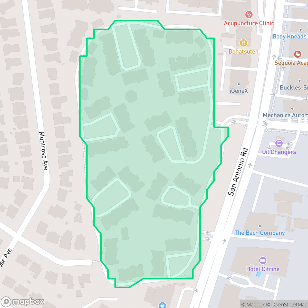
Located along San Antonio Road in south Palo Alto, The Greenhouse is a residential community developed by the Alpha Land Company in 1974. The neighborhood was built on the former site of Bell Nurseries and named for its historic greenhouses after plans to construct a K-Mart on the property fell through in the early 1970s. In 1978, the adjacent Greenhouse II was added in the same architectural style. Designed to provide moderately priced housing, the development was notable for incorporating Palo Alto's Below Market Rate (BMR) program, mandating ten percent of its units for low-income buyers. Spanning 15 lush acres, the grounds were originally landscaped with olive, tulip, and white alder trees and featured an innovative Swiss-designed "Parkour" environmental fitness system.
The neighborhood maintains a suburban atmosphere where residential streets blend with active daytime commercial zones along San Antonio Road. According to iHuus data, the area provides a stable environment for families, bolstered by its location within the elite Palo Alto Unified School District. The district is recognized for its academic excellence and robust infrastructure, making it a primary draw for households prioritizing educational access.
Prospective residents should consider specific environmental and logistical factors when evaluating the area. The neighborhood faces challenges regarding industrial proximity and potential soil or groundwater issues, which are important considerations for long-term planning. Additionally, the area records moderate levels of traffic-related noise and has lower scores for flood and fire safety, reflecting the broader regional risks. While the community offers a calm setting, daily errands often require travel beyond the immediate vicinity due to the limited concentration of local services.
Neighborhood Scores Across 15 Qualities
Neighboring properties feature mixed spacing with some buffer zones between homes. This level of density is consistent with the Palo Alto average, according to iHuus data.
Pedestrian movement is easy due to wide sidewalks on both sides of the street and ample crossings. This level of accessibility is nearly identical to the Palo Alto average according to iHuus data.
Upscale amenities and large residential properties are present, though the overall visual landscape is less lush than the Palo Alto average according to iHuus data.
Connected green spaces and wide, traffic-safe paths provide reliable walking routes for pets. This level of accessibility is slightly below the Palo Alto average according to iHuus data.
Frequent open land and scattered homes amid woodland characterize this area, offering a setting that is very similar to the Palo Alto average.
Residential streets and green spaces offer a calm atmosphere, but local amenities are sparse and often require driving. According to iHuus data, the level of activity and access to nearby services is notably lower than the Palo Alto average.
Local traffic from a nearby busy street creates a consistent level of ambient noise. According to iHuus data, this acoustic environment is slightly more active than the Palo Alto average.
Air quality levels fluctuate between acceptable and unhealthy, presenting occasional concerns for sensitive groups. According to iHuus data, the air quality in this area is slightly better than the Palo Alto average.
Industrial presence is significantly lower than the Palo Alto average, though proximity to an EPA Superfund site may involve potential groundwater or soil contaminants. Mixed-use activity in the area also brings moderate daytime commercial traffic near residential zones.
Health insurance enrollment is widespread among residents, though it remains slightly below the Palo Alto average according to iHuus data.
Voting patterns and census indicators reflect a deeply liberal political leaning that is slightly more pronounced than the Palo Alto average.
Residents live alongside a balanced mix of young adults, families, and older individuals. This age distribution is slightly more varied than the typical Palo Alto profile, according to iHuus data.
Located in a coastal high-hazard zone with potential wave action, this area faces significantly higher flood risks than the Palo Alto average. Residents should prepare for elevated or potentially prohibitive flood insurance costs.
Block-Level Insights for The Greenhouse

iHuus Neighborhood Intelligence Insights
Get block-level neighborhood insights for The Greenhouse
- Street-level scores — see how individual blocks compare, not just neighborhood averages
- Micro-zone boundaries — identify quiet pockets, flood boundaries, and walkable clusters before you visit
- 15 dimensions in full — walkability, noise, air quality, school quality, insurance coverage, population age profile, urban/rural index, and more
- Boundary risk alerts — know if your address sits near a block boundary where scores drop, the kind of detail no listing will ever mention
- School insights — individual school ratings and insights, not just district-level data
- Compare before you commit — side-by-side data across neighborhoods, down to block precision
No credit card required
Compare with Any Neighborhood
| Dimension | The Greenhouse | Adobe Meadow - Meadow Park |
|---|---|---|
| 🚶 Walkabilityavg 8.94 | ||
| 🔊 Acoustic Comfortavg 3.51 | ||
| 🤫 Privacy Indexavg 5.96 | ||
| 🎨 Visual Appealavg 7.97 | ||
| 🐕 Dog Friendlinessavg 7.6 | ||
| 🗺️ Urban-Rural Indexavg 6.74 | ||
| ✨ Neighborhood Vibeavg 4.82 | ||
| 🏥 Health Insurance Coverageavg 9.05 | ||
| 🌿 Air Qualityavg 6.03 | ||
| 🏭 Industrial Proximityavg 8.67 | ||
| 🌊 Flood Safetyavg 3.52 | ||
| 🗳️ Ideological Leanavg 9.81 | ||
| 👥 Population Age Profileavg 5.03 | ||
| 🔥 Fire Safety | ||
| 🏫 School Quality |
The Greenhouse Rankings
School Districts Serving The Greenhouse
Palo Alto Unified School District is an elite, financially robust 'Blue Chip' district characterized by universal academic excellence across all 19 campuses. Operating as a basic aid district, PAUSD maintains superior infrastructure and extracurricular offerings that rival private institutions, attracting top-tier educators and high-achieving families. While the district faces localized challenges regarding the intense academic culture at its high schools and the high cost of living for staff, its administrative stability, proactive curriculum enhancements, and exceptional college readiness metrics solidify its position as a national leader in public education.
Schools
School Insights for The Greenhouse
Below average outcomes; significant attendance and academic challenges.
School Insights
See what's really behind every school rating near The Greenhouse
- Individual school ratings — each school's own score with outcome context, not just a district average
- Enrollment & class size data — student-to-teacher ratio and how it compares to the state average
- Full demographics breakdown — ethnicity and gender composition for every school in the enrollment zone
- Every school in the district — all schools within the enrollment boundary ranked by rating, not just the closest one
- Grade levels & benchmarks — elementary through high school, with below/above state-average flags
No credit card required