Southgate, Palo Alto
Updated June 22, 2026 · 360 residents
Southgate is a highly walkable enclave situated between the bustling California Avenue commercial district and Stanford University. While the neighborhood offers a vibrant social atmosphere and exceptional pedestrian access, residents should be prepared for significant noise levels due to nearby rail lines and flight paths.
Key Highlights
About Southgate
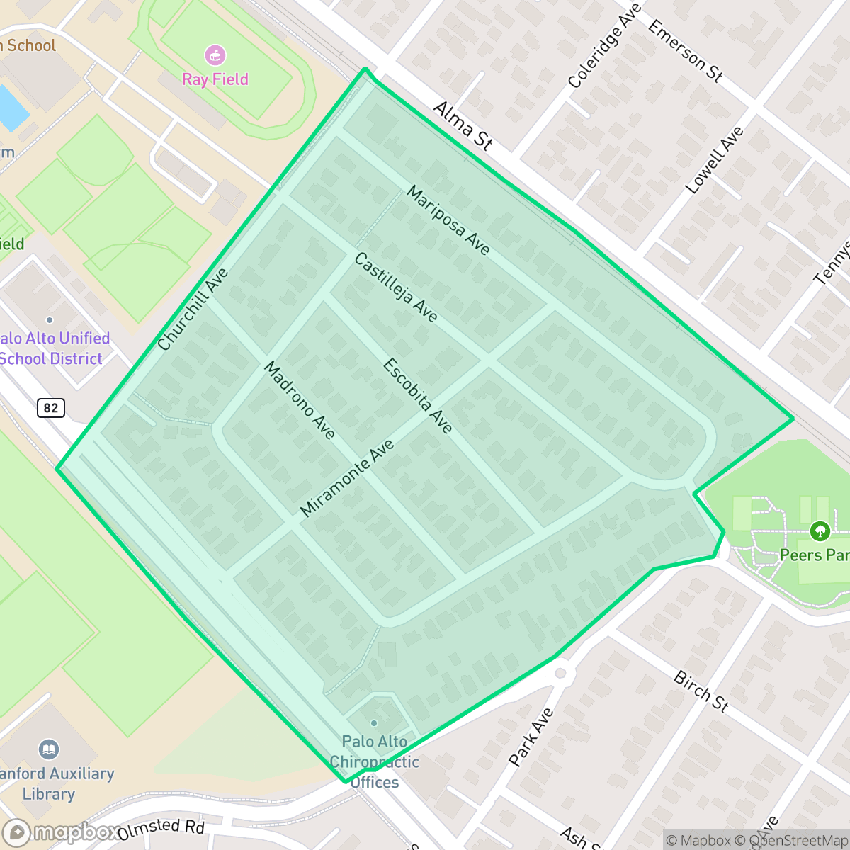
The Southgate neighborhood in Palo Alto was originally orchard land owned by the Stanford family before being subdivided in the 1920s. Named for its location bordering the southern side of Stanford University, the area was marketed as a premier residential section featuring paved streets, sidewalks, and electric car service. The neighborhood is characterized by narrow, tree-lined streets and a deliberate layout with limited access points, which discourages through traffic and fosters a quiet, contained environment. Its housing stock is eclectic, ranging from original homes—including some built by legendary Stanford football coach Glenn 'Pop' Warner—to diverse remodels and modern rebuilds. Southgate remains a distinct, pedestrian-friendly enclave known for its proximity to Stanford University and the commercial hubs of California Avenue and Town and Country Village.
The area maintains a purely residential character, free from industrial sites and defined by its lush, manicured streets. Residents benefit from a high degree of walkability, allowing easy access to local cafes and parks that foster a lively social environment. The demographic is notably diverse, encompassing a mix of young professionals, families, and seniors who value the proximity to major transit corridors and academic institutions. According to iHuus data, the neighborhood provides excellent health insurance coverage and a safe environment for pet owners, supported by interconnected green spaces. Living here involves certain environmental trade-offs, particularly regarding acoustic comfort. The proximity to major transportation infrastructure, including the train and airport, results in frequent noise disruptions. Air quality remains typical for the region, with occasional fluctuations that sensitive individuals may notice. This area is best suited for those who prioritize a central, pedestrian-oriented lifestyle within the Palo Alto Unified School District and are willing to accept the ambient noise inherent to its convenient location.
Neighborhood Scores Across 15 Qualities
Residential spacing is consistent with the Palo Alto average, featuring a mix of detached homes and shared commercial walls. Neighbors maintain a moderate level of separation with typical suburban buffering between properties.
Continuous sidewalk networks and well-defined pedestrian crossings make navigating the area on foot easy. This level of walkability is even more pronounced here than in the rest of Palo Alto.
Large homes, private pools, and lush landscaping characterize this area. The visual environment is consistent with the city average for Palo Alto.
Wide green verges and interconnected public parks provide ample space for walking pets. According to iHuus data, these safe, low-traffic routes make the area more dog friendly than the Palo Alto average.
This area features a dense suburban environment consisting of single-family homes and mid-sized commercial buildings. According to iHuus data, the landscape is slightly more developed than the Palo Alto average, offering a blend of residential plots and commercial utility.
Local dining and green spaces provide a much more active social atmosphere than the typical Palo Alto district. Residents benefit from a diverse mix of cafes, parks, and functional businesses located along walkable streets.
Constant noise from the nearby airport runway and heavy rail lines makes this area significantly louder than the Palo Alto average. Residents should expect frequent acoustic disruptions due to the immediate proximity to major transportation infrastructure.
Air quality in this area is typical for the city, presenting a mix of acceptable and unhealthy days that may occasionally concern sensitive groups according to iHuus data.
No warehouses, industrial facilities, or hazard sites are present within this area. This neighborhood is more residential in character than the Palo Alto average, consisting primarily of homes, green spaces, and light commercial structures.
Health insurance accessibility is exceptionally high among residents, sitting well above the Palo Alto average according to iHuus data.
Voting patterns and census indicators show a strongly liberal political leaning that is slightly more pronounced than the Palo Alto average, according to iHuus data.
Residents live alongside a balanced variety of young professionals, families, and seniors. According to iHuus data, this age distribution is slightly more diverse than the Palo Alto average.
Block-Level Insights for Southgate

iHuus Neighborhood Intelligence Insights
Get block-level neighborhood insights for Southgate
- Street-level scores — see how individual blocks compare, not just neighborhood averages
- Micro-zone boundaries — identify quiet pockets, flood boundaries, and walkable clusters before you visit
- 15 dimensions in full — walkability, noise, air quality, school quality, insurance coverage, population age profile, urban/rural index, and more
- Boundary risk alerts — know if your address sits near a block boundary where scores drop, the kind of detail no listing will ever mention
- School insights — individual school ratings and insights, not just district-level data
- Compare before you commit — side-by-side data across neighborhoods, down to block precision
No credit card required
Compare with Any Neighborhood
| Dimension | Southgate | Adobe Meadow - Meadow Park |
|---|---|---|
| 🚶 Walkabilityavg 8.94 | ||
| 🔊 Acoustic Comfortavg 3.51 | ||
| 🤫 Privacy Indexavg 5.96 | ||
| 🎨 Visual Appealavg 7.97 | ||
| 🐕 Dog Friendlinessavg 7.6 | ||
| 🗺️ Urban-Rural Indexavg 6.74 | ||
| ✨ Neighborhood Vibeavg 4.82 | ||
| 🏥 Health Insurance Coverageavg 9.05 | ||
| 🌿 Air Qualityavg 6.03 | ||
| 🏭 Industrial Proximityavg 8.67 | ||
| 🌊 Flood Safetyavg 3.52 | ||
| 🗳️ Ideological Leanavg 9.81 | ||
| 👥 Population Age Profileavg 5.03 | ||
| 🔥 Fire Safety | ||
| 🏫 School Quality |
Southgate Rankings
School Districts Serving Southgate
Palo Alto Unified School District is an elite, financially robust 'Blue Chip' district characterized by universal academic excellence across all 19 campuses. Operating as a basic aid district, PAUSD maintains superior infrastructure and extracurricular offerings that rival private institutions, attracting top-tier educators and high-achieving families. While the district faces localized challenges regarding the intense academic culture at its high schools and the high cost of living for staff, its administrative stability, proactive curriculum enhancements, and exceptional college readiness metrics solidify its position as a national leader in public education.
Schools
School Insights for Southgate
Below average outcomes; significant attendance and academic challenges.
School Insights
See what's really behind every school rating near Southgate
- Individual school ratings — each school's own score with outcome context, not just a district average
- Enrollment & class size data — student-to-teacher ratio and how it compares to the state average
- Full demographics breakdown — ethnicity and gender composition for every school in the enrollment zone
- Every school in the district — all schools within the enrollment boundary ranked by rating, not just the closest one
- Grade levels & benchmarks — elementary through high school, with below/above state-average flags
No credit card required