Community Center, Palo Alto
Updated June 22, 2026 · 1,323 residents
Community Center is a highly walkable residential enclave defined by its central civic amenities and diverse architectural landscape. Residents benefit from exceptional access to top-rated public schools and expansive green spaces, though the area maintains a quiet, low-key atmosphere with minimal commercial activity.
Key Highlights
About Community Center
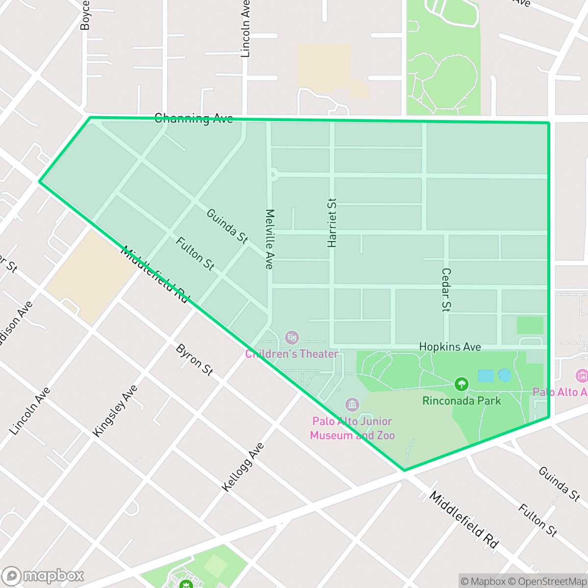
Originally part of the 19th-century University Park subdivision, Palo Alto’s Community Center neighborhood transitioned from wheat fields into a quiet residential enclave during the 1920s and 1930s. The neighborhood’s character is defined by its namesake, the Lucie Stern Community Center. Built in 1934 and designed by prominent local architect Birge Clark, this Spanish Colonial Revival complex serves as a vital civic and social hub. The surrounding area features a diverse architectural mix, ranging from early 20th-century cottages with historic shared driveways to mid-century ranch homes and a 1973 Joseph Eichler development on the former Harker School site. Other enduring local landmarks nestled within the neighborhood include Rinconada Park, the Palo Alto Art Center, the Children’s Library, and the Junior Museum and Zoo.
The neighborhood functions as a peaceful, pedestrian-friendly area centered on civic life. With a perfect walkability score, residents enjoy easy access to local amenities like Rinconada Park and the Palo Alto Art Center. According to iHuus data, the area maintains a consistent 56 dB noise level, providing a relatively calm acoustic environment for a suburban setting. The residential streets feature a mix of architectural styles, ranging from historic cottages to mid-century modern designs, all served by the highly regarded Palo Alto Unified School District.
While the area excels in educational access and walkability, it lacks a dense commercial core, meaning most daily errands require travel outside the immediate vicinity. Prospective residents should note the environmental profile, as the area faces challenges regarding flood and fire safety. This neighborhood is well-suited for families and professionals who prioritize a quiet, stable environment and proximity to top-rated public schools over an active nightlife or immediate commercial convenience.
Neighborhood Scores Across 15 Qualities
Residential spacing is consistent with the city average, offering a mix of densely packed commercial blocks and detached homes with foliage buffers. Some areas feature structures in close proximity, while other sections provide moderate visual separation between neighbors.
Pedestrian movement is exceptionally easy here due to continuous sidewalk networks and low-traffic residential grids. This area offers superior walkability compared to the rest of Palo Alto, featuring ample shade cover and well-marked crosswalks near commercial hubs.
Large, well-maintained homes and high-quality landscaping define the area. According to iHuus data, the visual character of this neighborhood is consistent with the city average.
Wide, tree-lined residential verges and small local parks provide adequate space for walks; however, overall dog friendliness is slightly below the Palo Alto average according to iHuus data.
Residential blocks feature a dense tree canopy and single-family homes, reflecting a landscape that is slightly less open than the Palo Alto average. This area offers a blend of suburban density and mature natural elements according to iHuus data.
Concentrated social hubs and dining options like Blue Bottle Coffee provide a noticeably more active atmosphere than the Palo Alto average. While some streets remain quiet and residential, the area features a healthy mix of local parks and civic destinations according to iHuus data.
Steady sounds from nearby busy streets are present, though levels are notably quieter than the city average according to iHuus data.
Air quality in this area fluctuates between acceptable and unhealthy levels, which may cause occasional concern for sensitive groups. This level of air quality is consistent with the broader Palo Alto average.
No warehouses, factories, or industrial hazards are present in this area. This neighborhood is even more free of industrial proximity than the Palo Alto average, consisting entirely of residential and institutional spaces.
Nearly all residents in this area are covered by health insurance, a rate that is roughly in line with the Palo Alto average according to iHuus data.
Voting patterns and census indicators show strong liberal leanings, which is consistent with the broader Palo Alto area according to iHuus data.
Residents will find a diverse mix of young adults, families, and older individuals. According to iHuus data, this demographic spread is slightly more varied than the Palo Alto city average.
Located within a 100-year floodplain, this area faces significant flood risks that are notably higher than the Palo Alto average. Residents should be aware that flood insurance is typically required for properties in this zone according to iHuus data.
Block-Level Insights for Community Center

iHuus Neighborhood Intelligence Insights
Get block-level neighborhood insights for Community Center
- Street-level scores — see how individual blocks compare, not just neighborhood averages
- Micro-zone boundaries — identify quiet pockets, flood boundaries, and walkable clusters before you visit
- 15 dimensions in full — walkability, noise, air quality, school quality, insurance coverage, population age profile, urban/rural index, and more
- Boundary risk alerts — know if your address sits near a block boundary where scores drop, the kind of detail no listing will ever mention
- School insights — individual school ratings and insights, not just district-level data
- Compare before you commit — side-by-side data across neighborhoods, down to block precision
No credit card required
Compare with Any Neighborhood
| Dimension | Community Center | Adobe Meadow - Meadow Park |
|---|---|---|
| 🚶 Walkabilityavg 8.94 | ||
| 🔊 Acoustic Comfortavg 3.51 | ||
| 🤫 Privacy Indexavg 5.96 | ||
| 🎨 Visual Appealavg 7.97 | ||
| 🐕 Dog Friendlinessavg 7.6 | ||
| 🗺️ Urban-Rural Indexavg 6.74 | ||
| ✨ Neighborhood Vibeavg 4.82 | ||
| 🏥 Health Insurance Coverageavg 9.05 | ||
| 🌿 Air Qualityavg 6.03 | ||
| 🏭 Industrial Proximityavg 8.67 | ||
| 🌊 Flood Safetyavg 3.52 | ||
| 🗳️ Ideological Leanavg 9.81 | ||
| 👥 Population Age Profileavg 5.03 | ||
| 🔥 Fire Safety | ||
| 🏫 School Quality |
Community Center Rankings
School Districts Serving Community Center
Palo Alto Unified School District is an elite, financially robust 'Blue Chip' district characterized by universal academic excellence across all 19 campuses. Operating as a basic aid district, PAUSD maintains superior infrastructure and extracurricular offerings that rival private institutions, attracting top-tier educators and high-achieving families. While the district faces localized challenges regarding the intense academic culture at its high schools and the high cost of living for staff, its administrative stability, proactive curriculum enhancements, and exceptional college readiness metrics solidify its position as a national leader in public education.
Schools
School Insights for Community Center
Below average outcomes; significant attendance and academic challenges.
School Insights
See what's really behind every school rating near Community Center
- Individual school ratings — each school's own score with outcome context, not just a district average
- Enrollment & class size data — student-to-teacher ratio and how it compares to the state average
- Full demographics breakdown — ethnicity and gender composition for every school in the enrollment zone
- Every school in the district — all schools within the enrollment boundary ranked by rating, not just the closest one
- Grade levels & benchmarks — elementary through high school, with below/above state-average flags
No credit card required