La Colonia, Oxnard
Updated June 22, 2026 · 6,983 residents
La Colonia is a historic Oxnard neighborhood defined by its deep-rooted labor activism and legacy as a legendary boxing hub. The area offers exceptional walkability and a dense urban environment, though residents should expect significant road noise and limited privacy due to the close proximity of homes.
Key Highlights
About La Colonia
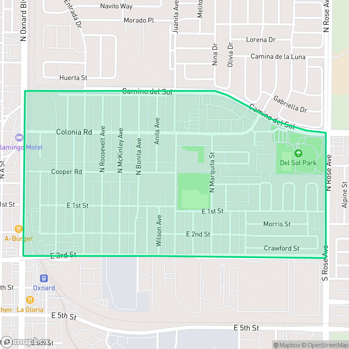
La Colonia is one of Oxnard, California’s oldest neighborhoods, established in the late 1890s by the Colonia Land Improvement Company to house agricultural workers near the local beet-sugar factory. Originally known as Colonia Gardens, this historic Latino barrio became a vital hub for labor activism; in 1903, local Mexican and Japanese sugar beet workers formed the Japanese Mexican Labor Association (JMLA) to organize the historic Oxnard Strike. In the mid-20th century, civil rights leader César Chávez lived in the neighborhood while working with the Community Service Organization (CSO). La Colonia is also globally recognized as "Boxnard" due to the legendary La Colonia Youth Boxing Club, which has trained world-champion fighters including Fernando Vargas, Robert Garcia, and Victor Ortiz.
This community functions as a dense, low-rise urban grid that blends residential blocks with industrial warehouses and railway infrastructure. The landscape consists of standard tract housing and apartment complexes, creating a compact environment where public parks provide essential green space for the community. The neighborhood maintains a consistent sidewalk network, making it highly accessible for pedestrians navigating between local services and nearby transit corridors.
Living here involves navigating specific trade-offs, particularly regarding acoustic comfort due to proximity to major road traffic. While the area provides a high degree of walkability for daily errands, prospective residents should be aware of the industrial surroundings and the resulting noise levels. The neighborhood is best suited for those who prioritize pedestrian access and a central location over quiet, secluded living, as it remains a vibrant, active hub within the broader Oxnard landscape.
Neighborhood Scores Across 15 Qualities
Residential buildings and houses are situated in very close quarters with minimal separation between structures. According to iHuus data, this level of density and shared property lines is lower than the Oxnard average.
Continuous sidewalks on both sides of most streets and clear pedestrian crossings make navigating the area on foot easy. This level of pedestrian infrastructure is notably higher than the Oxnard average, according to iHuus data.
Standard tract housing and apartment blocks define the area, featuring uniform rooflines and small residential lots. The visual landscape is consistent with the city average, characterized by closely spaced homes and limited private yard space.
Access to pet-friendly space is primarily centered around local parks and school fields. According to iHuus data, the neighborhood features fewer wide, grassy street verges for walking compared to the Oxnard average.
Residential streets feature a blend of suburban housing tracts and active agricultural fields. This landscape is slightly less open than the typical Oxnard area, according to iHuus data.
A mix of industrial activity and suburban greenery creates a steady atmosphere that is slightly more active than the Oxnard average. Residents can access a diverse selection of local dining and parks, though many services require a short drive.
Frequent acoustic disturbances from nearby railroad tracks and heavy freeway traffic characterize this area. According to iHuus data, the level of noise is slightly higher than the Oxnard average.
Air quality remains consistently high with minimal health concerns, matching the city average for Oxnard.
Minimal industrial activity characterizes this area, which consists mostly of residential and educational zones. While some nearby sectors contain large logistics hubs and heavy truck traffic, the immediate surroundings remain largely free of significant industrial hazards.
Health insurance accessibility is moderate in this area, trending slightly higher than the Oxnard average according to iHuus data.
Voting patterns and census indicators show a predominantly liberal leaning that is slightly more pronounced than the Oxnard city average, according to iHuus data.
Residents live alongside a balanced spread of young adults, families, and older individuals. This demographic distribution is largely consistent with the broader Oxnard area, according to iHuus data.
Frequent flooding is a significant concern in this area due to its location within a designated floodplain. According to iHuus data, the flood risk is considerably higher than the Oxnard average, often necessitating specialized flood insurance for properties.
Block-Level Insights for La Colonia

iHuus Neighborhood Intelligence Insights
Get block-level neighborhood insights for La Colonia
- Street-level scores — see how individual blocks compare, not just neighborhood averages
- Micro-zone boundaries — identify quiet pockets, flood boundaries, and walkable clusters before you visit
- 15 dimensions in full — walkability, noise, air quality, school quality, insurance coverage, population age profile, urban/rural index, and more
- Boundary risk alerts — know if your address sits near a block boundary where scores drop, the kind of detail no listing will ever mention
- School insights — individual school ratings and insights, not just district-level data
- Compare before you commit — side-by-side data across neighborhoods, down to block precision
No credit card required
Compare with Any Neighborhood
| Dimension | La Colonia | Bartolo Square North |
|---|---|---|
| 🚶 Walkabilityavg 9.13 | ||
| 🔊 Acoustic Comfortavg 2.93 | ||
| 🤫 Privacy Indexavg 4.06 | ||
| 🎨 Visual Appealavg 6.08 | ||
| 🐕 Dog Friendlinessavg 6.46 | ||
| 🗺️ Urban-Rural Indexavg 6.67 | ||
| ✨ Neighborhood Vibeavg 4.7 | ||
| 🏥 Health Insurance Coverageavg 4.66 | ||
| 🌿 Air Qualityavg 9.99 | ||
| 🏭 Industrial Proximityavg 7.45 | ||
| 🌊 Flood Safetyavg 3.91 | ||
| 🗳️ Ideological Leanavg 9.3 | ||
| 👥 Population Age Profileavg 4.59 | ||
| 🔥 Fire Safetyavg 0.04 | ||
| 🏫 School Quality |
La Colonia Rankings
School Districts Serving La Colonia
Oxnard Elementary School District is a stable but academically challenged organization characterized by a sharp divide between its high-quality leadership and low-performing academic portfolio. While the district enjoys success in securing facility bonds, maintaining competitive staff pay, and receiving regional accolades for its Superintendent, standardized testing scores remain in the bottom 50% of the state. With a school portfolio where nearly half of the institutions are rated 3/10 or below, the district relies on specialized programs like Dual Language Immersion and strong community engagement to maintain its standing. It currently functions as a middle-of-the-road district in a period of transition, leveraging infrastructure upgrades and modernization to address persistent achievement gaps.
Schools
Oxnard Union High School District is a stable but bifurcated organization, exhibiting a 'Mixed/Transition' profile due to the stark contrast between its high-performing specialized academies and its struggling traditional high schools. While the district maintains strong community trust through successful bond measures and facility modernizations, its academic core is pressured by critically low math proficiency and a projected enrollment decline. Strong Career Technical Education programs and high graduation rates provide a floor for the district's quality, but significant achievement gaps across geographic lines and aging infrastructure on specific campuses remain primary obstacles to overall excellence.
Schools
School Insights for La Colonia
Below average outcomes; significant attendance and academic challenges.
School Insights
See what's really behind every school rating near La Colonia
- Individual school ratings — each school's own score with outcome context, not just a district average
- Enrollment & class size data — student-to-teacher ratio and how it compares to the state average
- Full demographics breakdown — ethnicity and gender composition for every school in the enrollment zone
- Every school in the district — all schools within the enrollment boundary ranked by rating, not just the closest one
- Grade levels & benchmarks — elementary through high school, with below/above state-average flags
No credit card required