Five Points Northeast, Oxnard
Updated June 22, 2026 · 3,336 residents
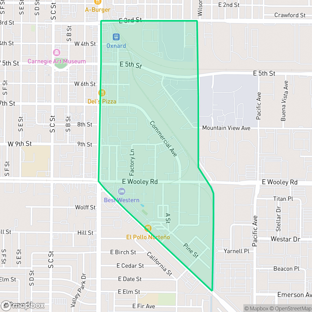
Five Points Northeast is an industrial-suburban neighborhood in Oxnard characterized by a dense mix of residential tracts, mobile home parks, and large-scale warehouse facilities. While the area offers access to diverse local dining options, it remains a car-dependent environment with limited public park space and notable noise from nearby road traffic and railways.
Key Highlights
About Five Points Northeast
Five Points Northeast serves as a functional, high-density residential and industrial hub within Oxnard. The landscape is defined by its grid layout, which is frequently punctuated by large asphalt parking lots, truck depots, and industrial storage sites. Residents benefit from a vibrant local food scene that includes popular spots like El Pollo Norteno and Tacos El Brother, reflecting the area's diverse cultural character.
Living in this neighborhood involves specific trade-offs, particularly regarding privacy and acoustic comfort. The proximity to industrial zones and heavy transit routes contributes to a consistent ambient noise level, while the high density of housing often results in closely spaced units with minimal outdoor space. It is a practical location for those prioritizing proximity to employment hubs and local transit, though individuals seeking a quiet, pedestrian-friendly environment with extensive green space may find the area challenging.
Neighborhood Scores Across 15 Qualities
Residential structures and multi-family units are closely packed with minimal setbacks, resulting in a level of density that is roughly consistent with the Oxnard average. Many properties feature shared walls or narrow gaps between neighbors, according to iHuus data.
Pedestrian access is easy throughout most residential and commercial blocks due to a consistent grid of sidewalks and marked crosswalks. While the area remains slightly below the Oxnard average for walkability, the infrastructure supports safe movement despite some interruptions from industrial zones.
Uniform tract housing and mobile home parks define the landscape, which offers less greenery and variety than the Oxnard average. High-density residential lots and proximity to industrial areas create a strictly functional visual environment.
Public park access and wide grassy verges are below the Oxnard average. While some areas feature larger ball fields and grassy spaces, much of the neighborhood consists of private yards and narrow sidewalks.
A combination of residential tracts, mobile home parks, and large-scale industrial warehouses defines the landscape. This area features a more dense urban grid than the typical Oxnard surroundings, according to iHuus data.
A balanced mix of industrial warehouses and diverse dining options creates a consistent energy that is slightly more active than the Oxnard average. While local eateries and services provide a steady rhythm of activity, the area remains largely car-dependent due to the heavy presence of industrial landscapes and railways.
Frequent noise from nearby freeway and railroad corridors impacts the area. According to iHuus data, acoustic levels are slightly higher than the Oxnard average.
Air quality remains consistently high with very few pollutants detected. This level of air purity is on par with the rest of Oxnard, according to iHuus data.
Large logistics hubs, warehouse bays, and active rail corridors are prominent features throughout the area. According to iHuus data, the presence of heavy truck traffic and outdoor storage is considerably higher than the Oxnard average.
Health insurance access in this area is consistent with the broader Oxnard average. According to iHuus data, a significant portion of the population lacks coverage, which may impact local healthcare planning.
Voting patterns and census indicators reflect a predominantly liberal political leaning that is more pronounced than the Oxnard average, according to iHuus data.
Residents live alongside a varied mix of young adults, families, and older populations. According to iHuus data, this age distribution is slightly more concentrated toward middle-aged and older demographics than the Oxnard average.
Properties within this area are located inside a designated floodplain, which indicates a much higher susceptibility to flooding than the Oxnard average. According to iHuus data, residents should anticipate the potential requirement for flood insurance.
Block-Level Insights for Five Points Northeast

iHuus Neighborhood Intelligence Insights
Get block-level neighborhood insights for Five Points Northeast
- Street-level scores — see how individual blocks compare, not just neighborhood averages
- Micro-zone boundaries — identify quiet pockets, flood boundaries, and walkable clusters before you visit
- 15 dimensions in full — walkability, noise, air quality, school quality, insurance coverage, population age profile, urban/rural index, and more
- Boundary risk alerts — know if your address sits near a block boundary where scores drop, the kind of detail no listing will ever mention
- School insights — individual school ratings and insights, not just district-level data
- Compare before you commit — side-by-side data across neighborhoods, down to block precision
No credit card required
Compare with Any Neighborhood
| Dimension | Five Points Northeast | Bartolo Square North |
|---|---|---|
| 🚶 Walkabilityavg 9.13 | ||
| 🔊 Acoustic Comfortavg 2.93 | ||
| 🤫 Privacy Indexavg 4.06 | ||
| 🎨 Visual Appealavg 6.08 | ||
| 🐕 Dog Friendlinessavg 6.46 | ||
| 🗺️ Urban-Rural Indexavg 6.67 | ||
| ✨ Neighborhood Vibeavg 4.7 | ||
| 🏥 Health Insurance Coverageavg 4.66 | ||
| 🌿 Air Qualityavg 9.99 | ||
| 🏭 Industrial Proximityavg 7.45 | ||
| 🌊 Flood Safetyavg 3.91 | ||
| 🗳️ Ideological Leanavg 9.3 | ||
| 👥 Population Age Profileavg 4.59 | ||
| 🔥 Fire Safetyavg 0.04 | ||
| 🏫 School Quality |
Five Points Northeast Rankings
School Districts Serving Five Points Northeast
Oxnard Elementary School District is a stable but academically challenged organization characterized by a sharp divide between its high-quality leadership and low-performing academic portfolio. While the district enjoys success in securing facility bonds, maintaining competitive staff pay, and receiving regional accolades for its Superintendent, standardized testing scores remain in the bottom 50% of the state. With a school portfolio where nearly half of the institutions are rated 3/10 or below, the district relies on specialized programs like Dual Language Immersion and strong community engagement to maintain its standing. It currently functions as a middle-of-the-road district in a period of transition, leveraging infrastructure upgrades and modernization to address persistent achievement gaps.
Schools
Oxnard Union High School District is a stable but bifurcated organization, exhibiting a 'Mixed/Transition' profile due to the stark contrast between its high-performing specialized academies and its struggling traditional high schools. While the district maintains strong community trust through successful bond measures and facility modernizations, its academic core is pressured by critically low math proficiency and a projected enrollment decline. Strong Career Technical Education programs and high graduation rates provide a floor for the district's quality, but significant achievement gaps across geographic lines and aging infrastructure on specific campuses remain primary obstacles to overall excellence.
Schools
School Insights for Five Points Northeast
Below average outcomes; significant attendance and academic challenges.
School Insights
See what's really behind every school rating near Five Points Northeast
- Individual school ratings — each school's own score with outcome context, not just a district average
- Enrollment & class size data — student-to-teacher ratio and how it compares to the state average
- Full demographics breakdown — ethnicity and gender composition for every school in the enrollment zone
- Every school in the district — all schools within the enrollment boundary ranked by rating, not just the closest one
- Grade levels & benchmarks — elementary through high school, with below/above state-average flags
No credit card required