Upper Peralta Creek, Oakland
Updated June 22, 2026 · 2,847 residents
Upper Peralta Creek is an exceptionally walkable residential enclave characterized by its dense grid and historic architectural charm. While the area offers a quiet environment with excellent air quality, residents experience limited privacy due to the close proximity of neighboring homes.
Key Highlights
About Upper Peralta Creek
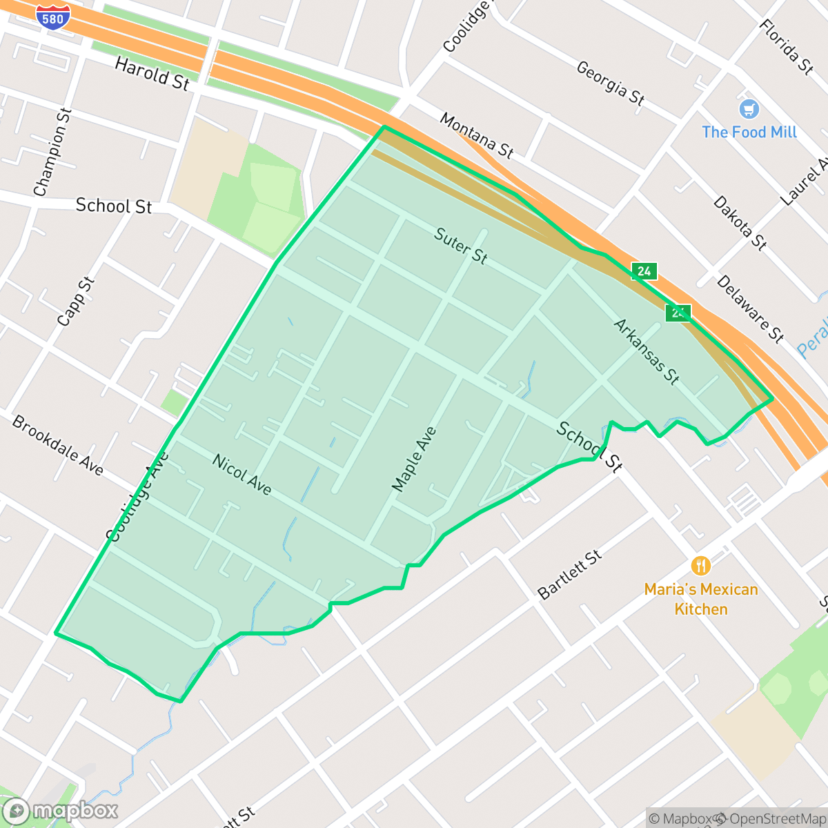
Upper Peralta Creek is a small, residential neighborhood situated at the eastern edge of Oakland’s Fruitvale District. The area is primarily characterized by its historic housing stock, featuring well-preserved, colorful California bungalows and modest apartment buildings constructed mostly before 1939. The neighborhood takes its name from Peralta Creek, which flows from the Oakland hills through the area. This waterway historically connected the land to the nearby Rancho San Antonio, a massive 1820 Spanish land grant awarded to Luís María Peralta. Today, the neighborhood remains a highly diverse community that retains its early 20th-century architectural charm, bordered by local green spaces like Curtis Flood Field and Nicol Park.
This neighborhood features a highly connected street grid that encourages pedestrian activity, making it one of the more accessible areas in Oakland. Residents benefit from clean air and a lack of heavy industrial interference, which helps maintain a peaceful atmosphere despite the urban density. According to iHuus data, the area maintains a consistent acoustic profile, though the relative lack of commercial amenities within walking distance means that daily errands often require travel outside the immediate vicinity.
Prospective residents should note the high density of the housing stock, which results in minimal space between structures and limited private outdoor areas. The neighborhood is best suited for those who prioritize walkability and a residential, low-traffic environment over expansive private yards. Families should also be aware that the local school district currently faces significant budgetary and operational challenges, which may impact educational planning for those with school-aged children.
Neighborhood Scores Across 15 Qualities
Structures in this area are positioned very close together, often with shared walls or minimal separation between buildings. This density is significantly higher than the Oakland average, resulting in reduced visual and acoustic privacy according to iHuus data.
Continuous sidewalks and a highly interconnected grid make navigating the area on foot exceptionally easy. This level of pedestrian accessibility is even higher than the average for Oakland.
Standard tract housing and dense lot placement characterize this area. The visual landscape of small yards and uniform rooflines is slightly below the Oakland average, according to iHuus data.
Dense housing and narrow parkways provide minimal greenery for walks. Public park access is restricted to a few small fields, making this area less dog friendly than much of Oakland.
Residential streets and green spaces are distributed in nearly equal measure, reflecting a suburban density that is very similar to the Oakland average. This balance of built environment and open space provides a transition between dense urban grids and more natural settings.
Local social hubs and dining options provide more activity than the Oakland average. While some blocks offer suburban quiet, other areas feature consistent movement near major transit corridors and community landmarks.
Persistent sounds from nearby transit corridors and major roadways are present. According to iHuus data, acoustic levels in this area are slightly higher than the Oakland average.
Air quality remains consistently high with minimal health concerns. According to iHuus data, these levels are significantly better than the Oakland city average.
Industrial activity is absent from this area, as the neighborhood consists exclusively of residential and light commercial uses. According to iHuus data, this lack of heavy industry or warehouses makes the area cleaner of industrial hazards than much of Oakland.
Health insurance enrollment among residents is lower than the Oakland average, according to iHuus data.
Voting patterns and census indicators reflect a deeply liberal political leaning that is slightly more pronounced than the Oakland city average.
Residents live alongside a balanced mix of young adults, families, and older populations. This demographic spread is consistent with the overall average for Oakland.
Properties in this area are situated within a known floodplain, which may necessitate flood insurance. According to iHuus data, the risk level in Upper Peralta Creek is slightly higher than the Oakland average.
Block-Level Insights for Upper Peralta Creek

iHuus Neighborhood Intelligence Insights
Get block-level neighborhood insights for Upper Peralta Creek
- Street-level scores — see how individual blocks compare, not just neighborhood averages
- Micro-zone boundaries — identify quiet pockets, flood boundaries, and walkable clusters before you visit
- 15 dimensions in full — walkability, noise, air quality, school quality, insurance coverage, population age profile, urban/rural index, and more
- Boundary risk alerts — know if your address sits near a block boundary where scores drop, the kind of detail no listing will ever mention
- School insights — individual school ratings and insights, not just district-level data
- Compare before you commit — side-by-side data across neighborhoods, down to block precision
No credit card required
Compare with Any Neighborhood
| Dimension | Upper Peralta Creek | Acorn |
|---|---|---|
| 🚶 Walkabilityavg 8.99 | ||
| 🔊 Acoustic Comfortavg 3.24 | ||
| 🤫 Privacy Indexavg 3.74 | ||
| 🎨 Visual Appealavg 6.28 | ||
| 🐕 Dog Friendlinessavg 5.74 | ||
| 🗺️ Urban-Rural Indexavg 6.02 | ||
| ✨ Neighborhood Vibeavg 5.22 | ||
| 🏥 Health Insurance Coverageavg 7.4 | ||
| 🌿 Air Qualityavg 8.06 | ||
| 🏭 Industrial Proximityavg 8.37 | ||
| 🌊 Flood Safetyavg 2.61 | ||
| 🗳️ Ideological Leanavg 9.95 | ||
| 👥 Population Age Profileavg 4.92 | ||
| 🔥 Fire Safetyavg 0.17 | ||
| 🏫 School Quality |
Upper Peralta Creek Rankings
School Districts Serving Upper Peralta Creek
Oakland Unified School District is currently in a distressed state, characterized by a massive $100 million budget deficit, high-stakes labor disputes, and a facilities maintenance backlog exceeding $3.5 billion. While the district maintains several high-achieving 'Blue Chip' elementary schools (e.g., Lincoln, Chabot), these are outliers in a portfolio where nearly half of the schools are performing at the lowest state levels. The combination of declining enrollment, 400 recent staff layoffs, and the constant threat of state receivership indicates an organization struggling with long-term stability and equitable academic delivery.
Schools
School Insights for Upper Peralta Creek
Below average outcomes; significant attendance and academic challenges.
School Insights
See what's really behind every school rating near Upper Peralta Creek
- Individual school ratings — each school's own score with outcome context, not just a district average
- Enrollment & class size data — student-to-teacher ratio and how it compares to the state average
- Full demographics breakdown — ethnicity and gender composition for every school in the enrollment zone
- Every school in the district — all schools within the enrollment boundary ranked by rating, not just the closest one
- Grade levels & benchmarks — elementary through high school, with below/above state-average flags
No credit card required