Oakland Airport, Oakland
Updated June 22, 2026 · 947 residents
The Oakland Airport neighborhood functions primarily as a major industrial and transportation hub, defined by its active runways, logistics warehouses, and expansive paved infrastructure. While it offers proximity to essential transit, the area is characterized by significant noise levels and limited residential amenities, making it a functional rather than a traditional living space.
Key Highlights
About Oakland Airport
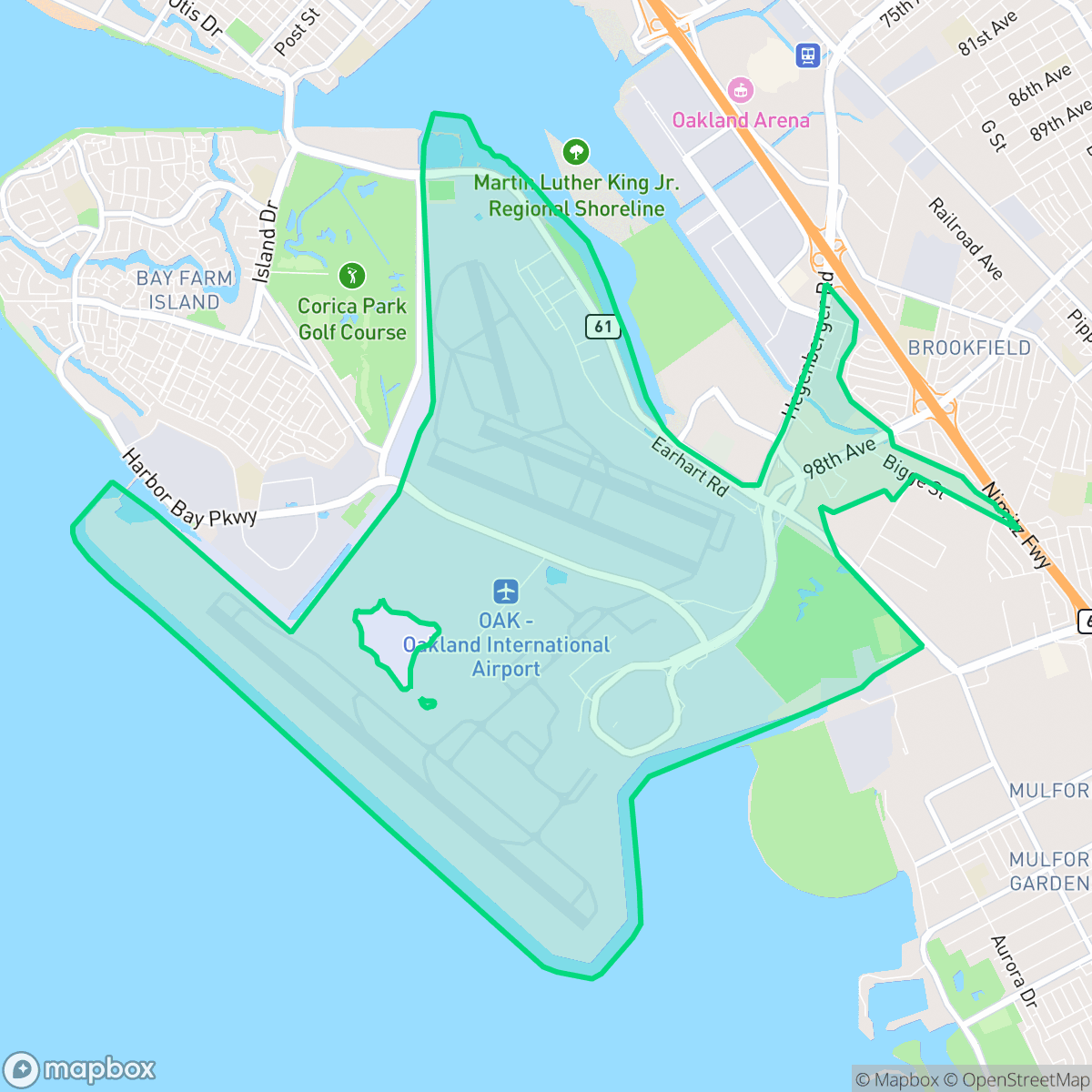
The Oakland Airport neighborhood, situated on a peninsula in South Oakland, is anchored by the historic Oakland International Airport. Developed in 1927, the original airfield (now North Field) was built in just 21 days to host the Dole Air Race and was dedicated by Charles Lindbergh. This historic site, designated an Oakland Landmark in 1980, features intact 1920s hangars, an administration building, and the nation's first airport inn. The area has been a launching pad for legendary aviators, including Sir Charles Kingsford-Smith and Amelia Earhart, who departed from here on her fateful 1937 world flight attempt. During World War II, the neighborhood was transformed into a military staging base. Today, Hegenberger Road serves as its main commercial corridor, and the historic 1939 hangar hosts the Oakland Aviation Museum.
The area is an active industrial and logistical corridor dominated by large-scale warehouses, freight operations, and the constant activity of the airport. The landscape consists largely of paved surfaces, specialized aviation facilities, and open buffers, creating a stark, utilitarian environment. While Hegenberger Road serves as the primary commercial artery, the neighborhood lacks a traditional residential core, focusing instead on supporting the operational needs of the airfield and regional supply chains.
Living in this vicinity presents significant trade-offs, particularly regarding environmental factors. Residents and visitors encounter high noise levels from frequent air traffic and heavy logistical vehicles. Furthermore, the area faces challenges related to air quality, as well as flood and fire safety risks. It is best suited for those requiring immediate proximity to aviation infrastructure or industrial employment rather than those seeking a conventional urban lifestyle with high walkability or social amenities.
Neighborhood Scores Across 15 Qualities
Homes are situated in close proximity with minimal separation between structures. According to iHuus data, this level of density is typical for the broader Oakland area.
Sidewalk networks are present on residential blocks but are interrupted by a major freeway corridor. Walkability in this area is lower than the Oakland city average according to iHuus data.
Standard tract housing defines much of the area, featuring uniform boxy roofs and small yards. According to iHuus data, the visual landscape is slightly less varied than the Oakland city average.
Narrow sidewalk verges and limited access to public green space make for restricted walking routes with pets. According to iHuus data, the availability of dog-friendly areas is slightly below the Oakland average.
Large-scale industrial infrastructure, airport runways, and expansive wetlands create a landscape that is more open and less densely built than the Oakland average. According to iHuus data, the area is characterized by vast paved surfaces and significant patches of undeveloped land.
Low commercial density and vast industrial landscapes create a subdued atmosphere with significantly fewer social destinations than the Oakland average. Most areas are dominated by warehouses and freight corridors, offering very limited options for dining or leisure beyond a few scattered service spots.
Constant aircraft engine noise and runway activity create an environment with very low acoustic comfort. According to iHuus data, noise levels in this area are significantly higher than the Oakland average.
Air quality is generally clean with only occasional spikes in pollutants. This level of air quality is lower than the average found across Oakland, according to iHuus data.
Significant noise and traffic from airport operations, logistics warehouses, and nearby wastewater treatment facilities create a much higher industrial density than the Oakland average. Large-scale shipping hubs and frequent truck activity are prominent features for anyone living near the airfield.
Health insurance accessibility is notably higher in this area than the Oakland average, according to iHuus data.
Voting patterns and census indicators show a very high concentration of liberal-leaning residents, though this is slightly lower than the broader Oakland average.
Residents of all ages live here, representing a demographic spread that is very similar to the broader Oakland area. According to iHuus data, this area maintains a balanced mix of young adults, families, and older populations.
Flood risk in this area is significantly higher than the Oakland average, as much of the neighborhood sits within a designated floodplain. Residents should be aware that flood insurance is typically required for properties here according to iHuus data.
Block-Level Insights for Oakland Airport

iHuus Neighborhood Intelligence Insights
Get block-level neighborhood insights for Oakland Airport
- Street-level scores — see how individual blocks compare, not just neighborhood averages
- Micro-zone boundaries — identify quiet pockets, flood boundaries, and walkable clusters before you visit
- 15 dimensions in full — walkability, noise, air quality, school quality, insurance coverage, population age profile, urban/rural index, and more
- Boundary risk alerts — know if your address sits near a block boundary where scores drop, the kind of detail no listing will ever mention
- School insights — individual school ratings and insights, not just district-level data
- Compare before you commit — side-by-side data across neighborhoods, down to block precision
No credit card required
Compare with Any Neighborhood
| Dimension | Oakland Airport | Acorn |
|---|---|---|
| 🚶 Walkabilityavg 8.99 | ||
| 🔊 Acoustic Comfortavg 3.24 | ||
| 🤫 Privacy Indexavg 3.74 | ||
| 🎨 Visual Appealavg 6.28 | ||
| 🐕 Dog Friendlinessavg 5.74 | ||
| 🗺️ Urban-Rural Indexavg 6.02 | ||
| ✨ Neighborhood Vibeavg 5.22 | ||
| 🏥 Health Insurance Coverageavg 7.4 | ||
| 🌿 Air Qualityavg 8.06 | ||
| 🏭 Industrial Proximityavg 8.37 | ||
| 🌊 Flood Safetyavg 2.61 | ||
| 🗳️ Ideological Leanavg 9.95 | ||
| 👥 Population Age Profileavg 4.92 | ||
| 🔥 Fire Safetyavg 0.17 | ||
| 🏫 School Quality |
Oakland Airport Rankings
School Districts Serving Oakland Airport
Alameda City Unified School District is a high-performing 'Blue Chip' district defined by its exceptional academic consistency, with over half of its schools rating 9/10 or higher. The district benefits from immense community support, as evidenced by successful bond measures for infrastructure modernization and a highly engaged parent body. While some secondary facilities and specific middle school transitions present minor challenges, the district’s terminal high schools are elite performers, and the administration shows strong fiscal responsibility and proactive planning regarding teacher retention and curriculum equity. AUSD remains a premier destination district in the East Bay, combining academic rigor with financial stability and high operational transparency.
Schools
San Leandro Unified is an operationally stable but academically bifurcated district characterized by strong community financial support and a diverse, inclusive environment. While it boasts a high graduation rate and proactive facility modernizations through local bonds, it struggles with severe proficiency gaps in mathematics and low-performing middle and high school cohorts. The district is currently in a transitional phase, attempting to boost college readiness by aligning graduation requirements with A-G standards, but it remains hampered by a wide variance in school quality across its elementary-to-secondary pipeline.
Schools
Oakland Unified School District is currently in a distressed state, characterized by a massive $100 million budget deficit, high-stakes labor disputes, and a facilities maintenance backlog exceeding $3.5 billion. While the district maintains several high-achieving 'Blue Chip' elementary schools (e.g., Lincoln, Chabot), these are outliers in a portfolio where nearly half of the schools are performing at the lowest state levels. The combination of declining enrollment, 400 recent staff layoffs, and the constant threat of state receivership indicates an organization struggling with long-term stability and equitable academic delivery.
Schools
School Insights for Oakland Airport
Below average outcomes; significant attendance and academic challenges.
School Insights
See what's really behind every school rating near Oakland Airport
- Individual school ratings — each school's own score with outcome context, not just a district average
- Enrollment & class size data — student-to-teacher ratio and how it compares to the state average
- Full demographics breakdown — ethnicity and gender composition for every school in the enrollment zone
- Every school in the district — all schools within the enrollment boundary ranked by rating, not just the closest one
- Grade levels & benchmarks — elementary through high school, with below/above state-average flags
No credit card required