Acorn, Oakland
Updated June 22, 2026 · 1,627 residents
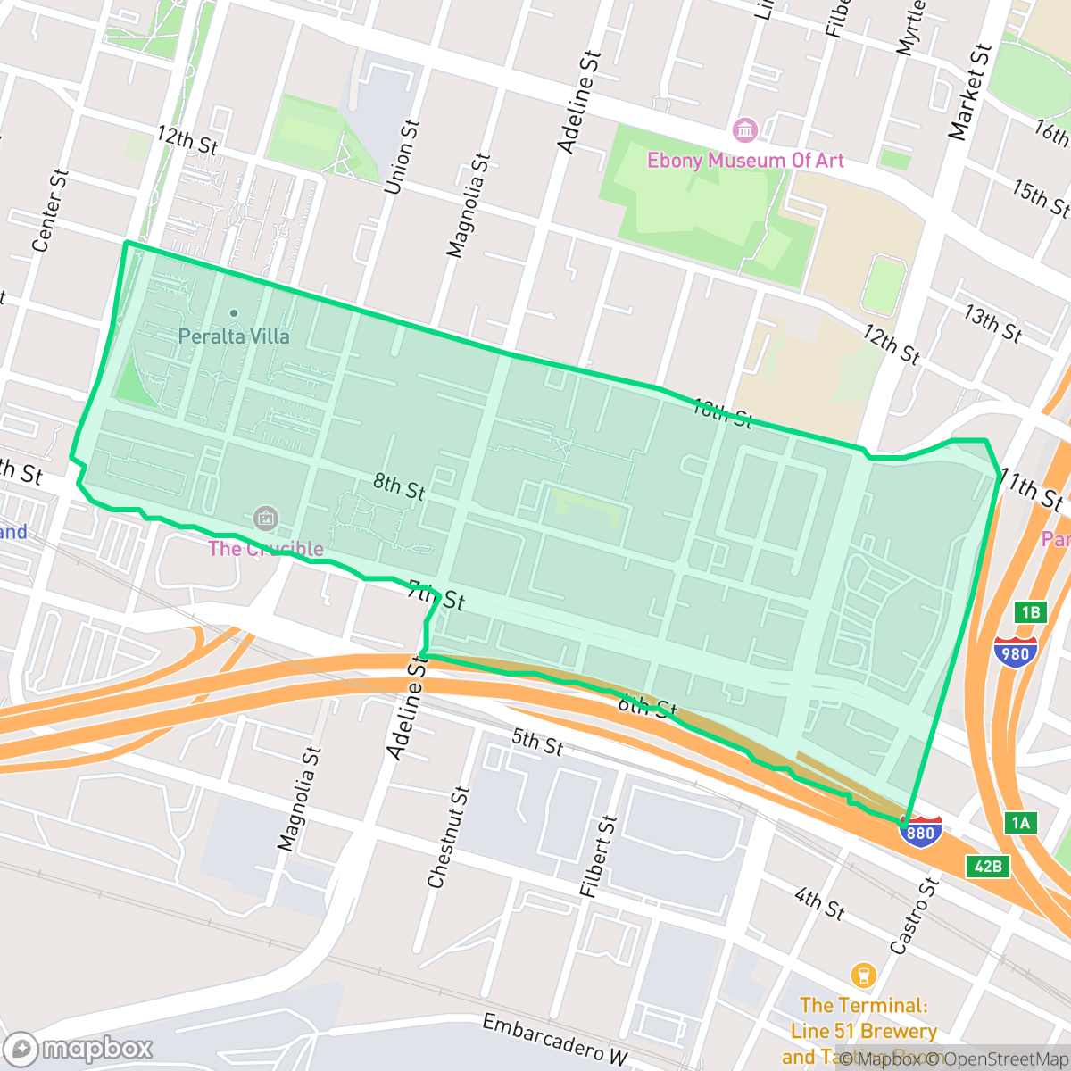
Acorn is a dense West Oakland neighborhood defined by its multi-family housing and consistent street grid. While the area offers high walkability and proximity to community staples, residents contend with significant noise from nearby highway traffic and industrial activity.
Key Highlights
About Acorn
Located in West Oakland, the Acorn neighborhood—often called "The Corns"—was the site of Oakland’s first major urban renewal initiative under a 1957 redevelopment plan. Beginning in 1962, the project demolished roughly 50 blocks of a historic Black community near the 7th Street cultural corridor, displacing thousands of residents. Dedicated in 1967, the resulting Acorn Projects originally featured three multi-family housing complexes. Following decades of disinvestment, the area underwent a major HUD-backed rehabilitation in the late 1990s, transforming into the Acorn Town Center and Courtyards. Culturally, the neighborhood is known for its local rap legacy, exemplified by the collaborative 2003 *Acorn & Cypress* mixtape. It is also historically marked as the site of the 1989 death of Black Panther Party co-founder Huey P. Newton.
The neighborhood functions as a dense urban enclave, featuring a mix of multi-family complexes and institutional facilities. According to iHuus data, the area maintains a high level of walkability due to its consistent street grid, though this connectivity is periodically interrupted by major highway infrastructure. Local activity centers around accessible neighborhood markets and small eateries, providing a consistent, if modest, level of daily engagement.
Prospective residents should consider the trade-offs of living in this industrial-adjacent environment. The area faces notable acoustic challenges from road traffic and proximity to heavy freight operations. Furthermore, the local school district currently faces significant budgetary and operational instability. While the neighborhood boasts high rates of health insurance coverage, it is important to note the elevated risks associated with flood and fire safety, making it a location best suited for those prioritizing proximity to the urban core over quiet, suburban-style amenities.
Neighborhood Scores Across 15 Qualities
Residential structures are closely spaced with minimal setbacks between homes. This level of density is higher than the Oakland average, featuring many properties that share walls or sit very near one another according to iHuus data.
Pedestrian navigation is possible via a consistent street grid with sidewalks and crosswalks, though major highway infrastructure can interrupt continuous routes. While sidewalks are present, the area is less walkable than the Oakland average.
Residential layouts feature modest lot sizes with boxy rooftops and minimal private yard space. This visual profile is slightly less lush than the Oakland average, according to iHuus data.
Public parks and green school fields provide accessible space for pets, though access to large green verges is slightly below the Oakland average according to iHuus data.
Open land and scattered greenery provide a more suburban character than the Oakland average. While some areas feature dense residential blocks, the neighborhood retains a balance of woodland and field elements according to iHuus data.
Low activity levels and a heavy presence of industrial warehouses and highway-adjacent streets make this area significantly less lively than the Oakland average. According to iHuus data, the neighborhood functions primarily as a quiet, suburban landscape centered around essential retail and light industrial use.
Frequent noise from nearby freeway and railroad activity is common in this area. According to iHuus data, acoustic comfort is notably lower than the Oakland average.
Air quality remains consistently high with minimal health concerns. According to iHuus data, these levels are notably better than the average found across Oakland.
Significant environmental concerns exist due to the presence of an EPA Superfund site and heavy industrial zones nearby. This level of industrial proximity and associated pollution risk is much higher than the Oakland average, according to iHuus data.
Health insurance accessibility in Acorn is slightly lower than the Oakland average, according to iHuus data.
Voting patterns and census indicators show a predominantly liberal political landscape that is consistent with the broader Oakland area.
Residents encounter a varied demographic spread of young adults, families, and older individuals. This age distribution is slightly lower than the Oakland city average, according to iHuus data.
Block-Level Insights for Acorn

iHuus Neighborhood Intelligence Insights
Get block-level neighborhood insights for Acorn
- Street-level scores — see how individual blocks compare, not just neighborhood averages
- Micro-zone boundaries — identify quiet pockets, flood boundaries, and walkable clusters before you visit
- 15 dimensions in full — walkability, noise, air quality, school quality, insurance coverage, population age profile, urban/rural index, and more
- Boundary risk alerts — know if your address sits near a block boundary where scores drop, the kind of detail no listing will ever mention
- School insights — individual school ratings and insights, not just district-level data
- Compare before you commit — side-by-side data across neighborhoods, down to block precision
No credit card required
Compare with Any Neighborhood
| Dimension | Acorn | Acorn Industrial |
|---|---|---|
| 🚶 Walkabilityavg 8.99 | ||
| 🔊 Acoustic Comfortavg 3.24 | ||
| 🤫 Privacy Indexavg 3.74 | ||
| 🎨 Visual Appealavg 6.28 | ||
| 🐕 Dog Friendlinessavg 5.74 | ||
| 🗺️ Urban-Rural Indexavg 6.02 | ||
| ✨ Neighborhood Vibeavg 5.22 | ||
| 🏥 Health Insurance Coverageavg 7.4 | ||
| 🌿 Air Qualityavg 8.06 | ||
| 🏭 Industrial Proximityavg 8.37 | ||
| 🌊 Flood Safetyavg 2.61 | ||
| 🗳️ Ideological Leanavg 9.95 | ||
| 👥 Population Age Profileavg 4.92 | ||
| 🔥 Fire Safetyavg 0.17 | ||
| 🏫 School Quality |
Acorn Rankings
School Districts Serving Acorn
Oakland Unified School District is currently in a distressed state, characterized by a massive $100 million budget deficit, high-stakes labor disputes, and a facilities maintenance backlog exceeding $3.5 billion. While the district maintains several high-achieving 'Blue Chip' elementary schools (e.g., Lincoln, Chabot), these are outliers in a portfolio where nearly half of the schools are performing at the lowest state levels. The combination of declining enrollment, 400 recent staff layoffs, and the constant threat of state receivership indicates an organization struggling with long-term stability and equitable academic delivery.
Schools
School Insights for Acorn
Below average outcomes; significant attendance and academic challenges.
School Insights
See what's really behind every school rating near Acorn
- Individual school ratings — each school's own score with outcome context, not just a district average
- Enrollment & class size data — student-to-teacher ratio and how it compares to the state average
- Full demographics breakdown — ethnicity and gender composition for every school in the enrollment zone
- Every school in the district — all schools within the enrollment boundary ranked by rating, not just the closest one
- Grade levels & benchmarks — elementary through high school, with below/above state-average flags
No credit card required