New Monterey, Monterey
Updated June 22, 2026 · 3,887 residents
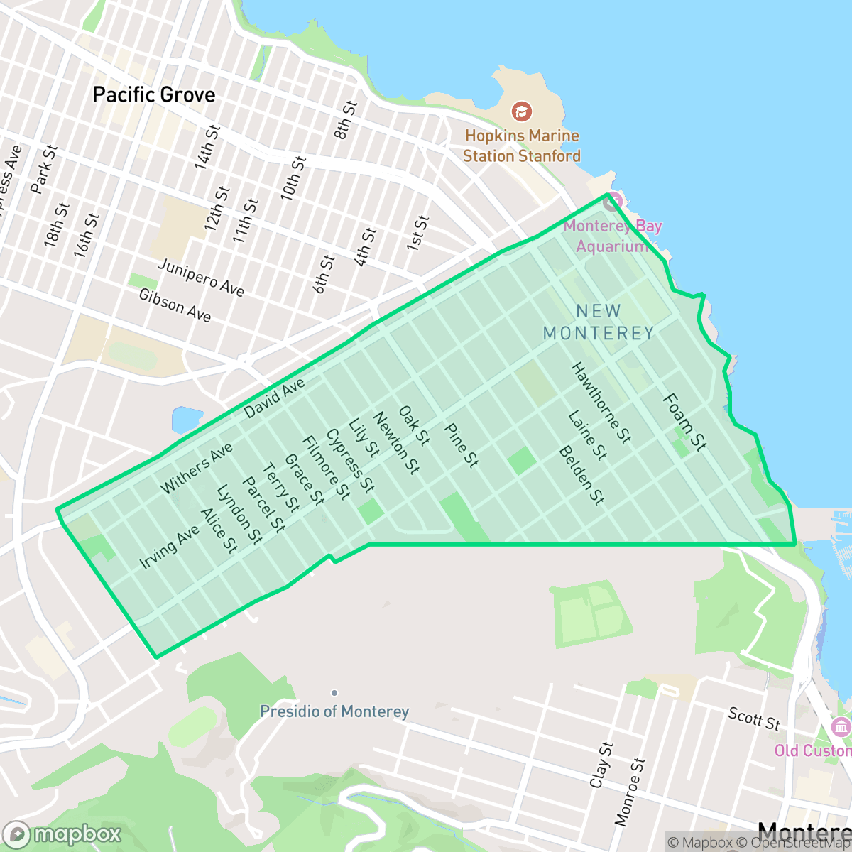
New Monterey is a highly walkable residential district characterized by a dense grid of modest homes and a vibrant commercial corridor along Lighthouse Avenue. Residents enjoy a quiet atmosphere with convenient access to local dining and green spaces, though the area features limited privacy due to close housing proximity.
Key Highlights
About New Monterey
Bordering the Presidio of Monterey and Pacific Grove, the New Monterey neighborhood evolved from 19th-century coastal settlements into a bustling residential hub. In 1851, Chinese families established the region's first commercial fishing industry at China Point (Point Alones), followed by Portuguese whalers and Italian fishermen. Between the 1920s and 1940s, the neighborhood rapidly developed on the hillsides above the bay, where modest wooden cottages were built to house workers from the booming sardine factories of adjacent Cannery Row. During the 1930s, New Monterey’s Huckleberry Hill area became home to a small art colony founded by painter Ellwood Graham. Today, the neighborhood's historic character is anchored by the Lighthouse District along Lighthouse Avenue, which historically served as a commercial corridor and social gateway between Monterey and Pacific Grove.
The neighborhood serves as a functional bridge between the historic charm of Monterey and the coastal appeal of Pacific Grove. It is defined by its high walkability and dense urban layout, which facilitates easy access to local amenities like neighborhood markets and various dining options along the primary transit arteries. The area maintains a consistent, modest architectural aesthetic, prioritizing functional, close-knit residential blocks over expansive estates. Prospective residents should note the trade-offs between the area's accessibility and its physical density. While the neighborhood offers superior pedestrian connectivity and a lack of industrial interference, the closely spaced homes and older infrastructure result in lower privacy scores. The community benefits from proximity to high-performing educational institutions in the adjacent school district, making it a practical choice for those who value transit-oriented living and a quiet, established environment.
Neighborhood Scores Across 15 Qualities
Residential spacing is relatively tight with houses placed close together, mirroring the general density found across Monterey. According to iHuus data, neighbors typically maintain a small buffer between homes without shared walls.
Pedestrian connectivity is exceptional due to a dense grid of continuous sidewalks and frequent crosswalks. This area offers much higher walkability than the rest of Monterey, making it easy to navigate the neighborhood on foot.
Standard tract housing and mid-sized apartment blocks characterize this area, which offers less visual variety than the Monterey city average. According to iHuus data, the landscape consists of uniform rooflines and small yards with minimal luxury amenities.
Public athletic fields and consistent sidewalks provide reliable walking routes for pets, though overall dog friendliness is slightly below the Monterey average. Large green spaces and school fields in the southern portion of the area offer additional access to open space.
Residential density is slightly lower than the Monterey average, featuring a mix of single-family homes and light commercial spaces interspersed with parkland. According to iHuus data, the area maintains a low-density urban feel with occasional open spaces.
Social activity is notably higher than the Monterey average, characterized by a diverse concentration of local cafes, eateries, and coastal parks. While some residential streets remain serene, the area features a vibrant mix of dining and community landmarks according to iHuus data.
Steady traffic sounds from nearby busy streets are present, though this level of acoustic activity remains more moderate than the typical noise levels found across Monterey.
Industrial activity and warehouses are entirely absent from this area, offering a cleaner environment than the Monterey average. According to iHuus data, the neighborhood consists solely of residential, institutional, and light commercial uses with no detectable heavy industry or hazard sites.
Health insurance access is more prevalent in New Monterey than in the rest of Monterey. According to iHuus data, a significant majority of the local population maintains coverage.
Voting patterns and census indicators in New Monterey reflect a deeply liberal leaning that is slightly more pronounced than the Monterey city average, according to iHuus data.
Residents live among a balanced mix of young adults, families, and older populations. This demographic spread is largely consistent with the average found throughout Monterey.
Flood risk in this area remains undetermined because FEMA has not yet completed a detailed study for the neighborhood. According to iHuus data, the potential for flooding is slightly higher than the average seen across Monterey.
Fire safety risks in this area are severe and slightly higher than the Monterey average. Residents should be aware of extreme fire hazards and the necessity for maximum protection measures according to iHuus data.
Block-Level Insights for New Monterey

iHuus Neighborhood Intelligence Insights
Get block-level neighborhood insights for New Monterey
- Street-level scores — see how individual blocks compare, not just neighborhood averages
- Micro-zone boundaries — identify quiet pockets, flood boundaries, and walkable clusters before you visit
- 15 dimensions in full — walkability, noise, air quality, school quality, insurance coverage, population age profile, urban/rural index, and more
- Boundary risk alerts — know if your address sits near a block boundary where scores drop, the kind of detail no listing will ever mention
- School insights — individual school ratings and insights, not just district-level data
- Compare before you commit — side-by-side data across neighborhoods, down to block precision
No credit card required
Compare with Any Neighborhood
| Dimension | New Monterey | Aguajito Oaks |
|---|---|---|
| 🚶 Walkabilityavg 8.15 | ||
| 🔊 Acoustic Comfortavg 3.31 | ||
| 🤫 Privacy Indexavg 5.78 | ||
| 🎨 Visual Appealavg 7.11 | ||
| 🐕 Dog Friendlinessavg 8.39 | ||
| 🗺️ Urban-Rural Indexavg 7.25 | ||
| ✨ Neighborhood Vibeavg 5.18 | ||
| 🏥 Health Insurance Coverageavg 7.87 | ||
| 🌿 Air Quality | ||
| 🏭 Industrial Proximityavg 9.17 | ||
| 🌊 Flood Safetyavg 4.9 | ||
| 🗳️ Ideological Leanavg 9.32 | ||
| 👥 Population Age Profileavg 5.33 | ||
| 🔥 Fire Safetyavg 1.4 | ||
| 🏫 School Quality |
New Monterey Rankings
School Districts Serving New Monterey
Pacific Grove Unified School District is an elite, stable, and high-performing organization that functions as a premier educational anchor for the Monterey Bay area. With a portfolio of schools consistently outperforming state averages by over 30% and a high school that serves as a high-value destination for college-bound students, the district maintains strong community trust as evidenced by successful bond-funded modernization projects. Despite localized challenges regarding the high cost of living for staff and an intense academic culture, the district's 'Green' performance indicators, proactive safety protocols, and transparent fiscal management justify its status as a top-tier 'Blue Chip' district.
Schools
Monterey Peninsula Unified School District (MPUSD) is a stable but bifurcated organization, characterized by robust operational management and innovative staff retention strategies offset by a significant internal achievement gap. While the district maintains strong community trust through successful bond measures and proactive modernization, ground truth data highlights a deep disparity between its high-performing Monterey schools and its underperforming middle and alternative schools in Seaside and Marina. The district’s commitment to employee housing and a transition to phonics-based literacy indicates a forward-looking leadership, yet the 'good school vs. bad school' dynamic prevents a higher rating until academic consistency and middle school safety are more effectively addressed.
Schools
School Insights for New Monterey
Below average outcomes; significant attendance and academic challenges.
School Insights
See what's really behind every school rating near New Monterey
- Individual school ratings — each school's own score with outcome context, not just a district average
- Enrollment & class size data — student-to-teacher ratio and how it compares to the state average
- Full demographics breakdown — ethnicity and gender composition for every school in the enrollment zone
- Every school in the district — all schools within the enrollment boundary ranked by rating, not just the closest one
- Grade levels & benchmarks — elementary through high school, with below/above state-average flags
No credit card required