Del Monte Beach, Monterey
Updated June 22, 2026 · 178 residents
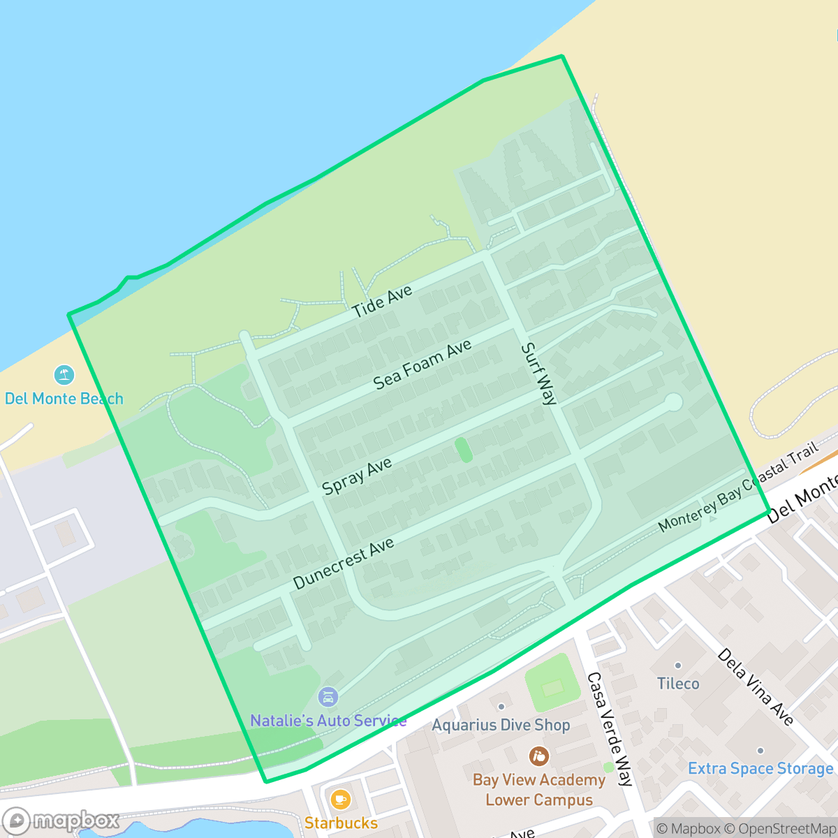
Del Monte Beach is a coastal enclave in Monterey, California, defined by its immediate proximity to the Pacific shoreline and expansive dune habitats. While the area offers high walkability and exceptional dog friendliness, residents experience significant noise levels from nearby road traffic and industrial activity.
Key Highlights
About Del Monte Beach
The Del Monte Beach neighborhood in eastern Monterey traces its origins to the late 19th century, taking its name from the historic Hotel Del Monte, a luxury resort opened in 1880 by railroad pioneer Charles Crocker. The residential neighborhood itself began taking shape when the Del Monte Beach subdivision was officially established in 1918. Divided into distinct tracts, the neighborhood developed over the decades amidst the area's coastal sand dunes. For years, the community's western edge was defined by industrial operations, including a 37-acre Phillips Petroleum site. In 1992, the California Department of Parks and Recreation purchased this industrial property, transforming it into a protected dune habitat and public recreation area integrated into Monterey State Beach. Today, the neighborhood is a quiet, secluded enclave of coastal homes connected by scenic boardwalks.
The area serves as a quiet, car-oriented residential pocket characterized by its unique position between the coastline and local industrial infrastructure. Residents benefit from direct access to Monterey State Beach and various local amenities, including fitness centers and established dining options. The neighborhood maintains a consistent ideological lean and a moderate urban-rural balance, providing a distinct atmosphere compared to the surrounding Monterey landscape.
Living here involves specific trade-offs, particularly regarding environmental and acoustic comfort. The presence of a nearby wastewater treatment plant and elevated road traffic noise levels are notable factors for prospective residents. While the community is highly accommodating for dog owners, the area faces challenges with fire safety and limited privacy. It is best suited for individuals who prioritize proximity to the coast and outdoor recreation over absolute quiet or suburban seclusion.
Neighborhood Scores Across 15 Qualities
Residential spacing and neighbor proximity offer less separation than the Monterey average. According to iHuus data, the layout features moderate density with limited buffers between adjacent properties.
Pedestrian movement is supported by sidewalks on one side of the street and safe crossings, though walkability levels are slightly below the Monterey average.
Standard tract housing with small yards and boxy rooflines defines the landscape; this level of visual variety is lower than the Monterey average.
Extensive trails and large open parks provide ample room for pets; this level of accessibility is notably higher than the Monterey city average according to iHuus data.
Open dunes and coastal landscapes create a more semi-rural feel than the more densely developed parts of Monterey. According to iHuus data, this area features a mix of scattered homes and open land that is less urbanized than the city average.
Low levels of activity and a car-oriented landscape create a much more subdued atmosphere than the Monterey average. This area is characterized by established residential blocks and heavy industrial zones near the coastline, according to iHuus data.
Constant noise from the nearby airport runway and heavy rail lines makes this area significantly noisier than the rest of Monterey. Residents can expect frequent, loud disruptions from aircraft and train traffic according to iHuus data.
Direct proximity to a wastewater treatment plant and its associated processing infrastructure defines this area. According to iHuus data, this level of industrial activity is significantly higher than the average for Monterey.
Health insurance coverage among residents is notably lower than the Monterey city average, according to iHuus data.
Voting patterns and census indicators show a predominantly liberal political leaning that is slightly more pronounced than the Monterey city average.
Residents live alongside a diverse range of age groups, including young adults, families, and seniors. This demographic spread is largely comparable to the broader Monterey area, according to iHuus data.
Flood risk in this area is slightly higher than the Monterey average, though a detailed federal study for this specific location is not yet available.
Block-Level Insights for Del Monte Beach

iHuus Neighborhood Intelligence Insights
Get block-level neighborhood insights for Del Monte Beach
- Street-level scores — see how individual blocks compare, not just neighborhood averages
- Micro-zone boundaries — identify quiet pockets, flood boundaries, and walkable clusters before you visit
- 15 dimensions in full — walkability, noise, air quality, school quality, insurance coverage, population age profile, urban/rural index, and more
- Boundary risk alerts — know if your address sits near a block boundary where scores drop, the kind of detail no listing will ever mention
- School insights — individual school ratings and insights, not just district-level data
- Compare before you commit — side-by-side data across neighborhoods, down to block precision
No credit card required
Compare with Any Neighborhood
| Dimension | Del Monte Beach | Aguajito Oaks |
|---|---|---|
| 🚶 Walkabilityavg 8.15 | ||
| 🔊 Acoustic Comfortavg 3.31 | ||
| 🤫 Privacy Indexavg 5.78 | ||
| 🎨 Visual Appealavg 7.11 | ||
| 🐕 Dog Friendlinessavg 8.39 | ||
| 🗺️ Urban-Rural Indexavg 7.25 | ||
| ✨ Neighborhood Vibeavg 5.18 | ||
| 🏥 Health Insurance Coverageavg 7.87 | ||
| 🌿 Air Quality | ||
| 🏭 Industrial Proximityavg 9.17 | ||
| 🌊 Flood Safetyavg 4.9 | ||
| 🗳️ Ideological Leanavg 9.32 | ||
| 👥 Population Age Profileavg 5.33 | ||
| 🔥 Fire Safetyavg 1.4 | ||
| 🏫 School Quality |
Del Monte Beach Rankings
School Districts Serving Del Monte Beach
Monterey Peninsula Unified School District (MPUSD) is a stable but bifurcated organization, characterized by robust operational management and innovative staff retention strategies offset by a significant internal achievement gap. While the district maintains strong community trust through successful bond measures and proactive modernization, ground truth data highlights a deep disparity between its high-performing Monterey schools and its underperforming middle and alternative schools in Seaside and Marina. The district’s commitment to employee housing and a transition to phonics-based literacy indicates a forward-looking leadership, yet the 'good school vs. bad school' dynamic prevents a higher rating until academic consistency and middle school safety are more effectively addressed.
Schools
School Insights for Del Monte Beach
Below average outcomes; significant attendance and academic challenges.
School Insights
See what's really behind every school rating near Del Monte Beach
- Individual school ratings — each school's own score with outcome context, not just a district average
- Enrollment & class size data — student-to-teacher ratio and how it compares to the state average
- Full demographics breakdown — ethnicity and gender composition for every school in the enrollment zone
- Every school in the district — all schools within the enrollment boundary ranked by rating, not just the closest one
- Grade levels & benchmarks — elementary through high school, with below/above state-average flags
No credit card required