Aguajito Oaks, Monterey
Updated June 22, 2026 · 32 residents
Aguajito Oaks is a secluded, rural-style enclave in Monterey defined by its mature oak canopy and expansive, private residential lots. While the area offers exceptional visual appeal and a tranquil atmosphere, residents rely on personal vehicles for most errands due to the lack of local commercial density.
Key Highlights
About Aguajito Oaks
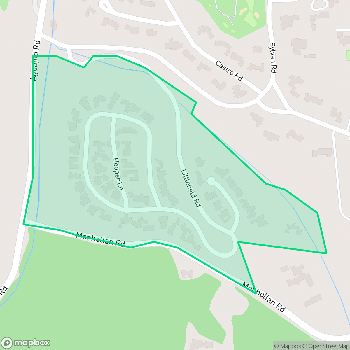
Situated within the historic boundaries of the 1835 Mexican land grant Rancho Aguajito, the Aguajito Oaks neighborhood in Monterey, California, is a secluded residential enclave known for its mature oak canopy and proximity to the Old Del Monte Golf Course. The neighborhood's most celebrated historical landmark is a 1940 California adobe ranch home on Littlefield Road designed by prominent local architect Robert Stanton. Gracing the cover of *Sunset Magazine* in 1941, this residence was built for PG&E president James Byers Black. It is most famous as the setting for the December 1950 wedding of Hollywood icon Shirley Temple to Charles Alden Black. The home was later owned by Rear Admiral Isham 'Sam' Linder, a former superintendent of the nearby Naval Postgraduate School.
This neighborhood functions as a quiet residential retreat, characterized by its low-density landscape and significant natural beauty. With a high privacy index and a distinct rural feel, it provides a stark contrast to the busier corridors of Monterey. The area is particularly well-suited for dog owners and those who value a serene, low-traffic environment. While the surroundings are picturesque, the trade-off includes a lack of immediate commercial amenities and a reliance on surrounding areas for daily needs. Prospective residents should note the environmental profile, which includes specific considerations for fire safety and local school district performance. The community maintains a stable demographic profile, contributing to its overall sense of calm and seclusion.
Neighborhood Scores Across 15 Qualities
Residential spacing offers a balanced level of separation between neighbors; according to iHuus data, this area provides slightly more seclusion than the Monterey average.
Pedestrian movement is supported by sidewalks on one side of the street and safe crossings. According to iHuus data, walking accessibility in this area is slightly above the Monterey city average.
Large homes and frequent upscale amenities provide a highly polished streetscape. This level of visual appeal is significantly higher than the Monterey city average according to iHuus data.
Wide paths and connected green spaces provide safe areas for walking dogs away from traffic. This level of accessibility is slightly below the Monterey average according to iHuus data.
Open land and scattered homes amidst woodland areas define this landscape. This area feels slightly more rural than the typical Monterey neighborhood according to iHuus data.
The area offers a tranquil, low-density environment characterized by open spaces and minimal commercial activity. This lack of local business density makes the neighborhood notably less lively than the Monterey average.
Acoustic levels remain low with only occasional distant traffic or infrequent train sounds. This environment is significantly quieter than the typical noise levels found across Monterey.
Industrial facilities and warehouses are entirely absent from this area. Residents benefit from a strictly residential environment that is notably more secluded from heavy industry than the Monterey average.
Nearly all residents in this area are covered by health insurance, representing a significantly higher rate of coverage than the Monterey city average according to iHuus data.
Voting patterns and census indicators show a predominantly liberal leaning, though this is slightly less pronounced than the average seen across Monterey.
Residents live alongside a varied mix of young adults, families, and seniors. This age distribution is slightly more concentrated toward specific age brackets than the broader Monterey area, according to iHuus data.
Properties in this area are located within a 100-year floodplain, which is a significantly higher risk level than the Monterey average. Residents should prepare for potential drainage issues and may find that flood insurance is a standard requirement for their policies.
Wildfire risk in this area is exceptionally high, representing a more severe danger than the average Monterey neighborhood. According to iHuus data, extreme precautions and maximum protection measures are necessary for residents.
Block-Level Insights for Aguajito Oaks

iHuus Neighborhood Intelligence Insights
Get block-level neighborhood insights for Aguajito Oaks
- Street-level scores — see how individual blocks compare, not just neighborhood averages
- Micro-zone boundaries — identify quiet pockets, flood boundaries, and walkable clusters before you visit
- 15 dimensions in full — walkability, noise, air quality, school quality, insurance coverage, population age profile, urban/rural index, and more
- Boundary risk alerts — know if your address sits near a block boundary where scores drop, the kind of detail no listing will ever mention
- School insights — individual school ratings and insights, not just district-level data
- Compare before you commit — side-by-side data across neighborhoods, down to block precision
No credit card required
Compare with Any Neighborhood
| Dimension | Aguajito Oaks | Alta Mesa |
|---|---|---|
| 🚶 Walkabilityavg 8.15 | ||
| 🔊 Acoustic Comfortavg 3.31 | ||
| 🤫 Privacy Indexavg 5.78 | ||
| 🎨 Visual Appealavg 7.11 | ||
| 🐕 Dog Friendlinessavg 8.39 | ||
| 🗺️ Urban-Rural Indexavg 7.25 | ||
| ✨ Neighborhood Vibeavg 5.18 | ||
| 🏥 Health Insurance Coverageavg 7.87 | ||
| 🌿 Air Quality | ||
| 🏭 Industrial Proximityavg 9.17 | ||
| 🌊 Flood Safetyavg 4.9 | ||
| 🗳️ Ideological Leanavg 9.32 | ||
| 👥 Population Age Profileavg 5.33 | ||
| 🔥 Fire Safetyavg 1.4 | ||
| 🏫 School Quality |
Aguajito Oaks Rankings
School Districts Serving Aguajito Oaks
Monterey Peninsula Unified School District (MPUSD) is a stable but bifurcated organization, characterized by robust operational management and innovative staff retention strategies offset by a significant internal achievement gap. While the district maintains strong community trust through successful bond measures and proactive modernization, ground truth data highlights a deep disparity between its high-performing Monterey schools and its underperforming middle and alternative schools in Seaside and Marina. The district’s commitment to employee housing and a transition to phonics-based literacy indicates a forward-looking leadership, yet the 'good school vs. bad school' dynamic prevents a higher rating until academic consistency and middle school safety are more effectively addressed.
Schools
School Insights for Aguajito Oaks
Below average outcomes; significant attendance and academic challenges.
School Insights
See what's really behind every school rating near Aguajito Oaks
- Individual school ratings — each school's own score with outcome context, not just a district average
- Enrollment & class size data — student-to-teacher ratio and how it compares to the state average
- Full demographics breakdown — ethnicity and gender composition for every school in the enrollment zone
- Every school in the district — all schools within the enrollment boundary ranked by rating, not just the closest one
- Grade levels & benchmarks — elementary through high school, with below/above state-average flags
No credit card required